


Secondary sourceArtifactDecember 2005
Vermessung der Erde bei Eratosthenes
Eurico Zimbres · December 2005
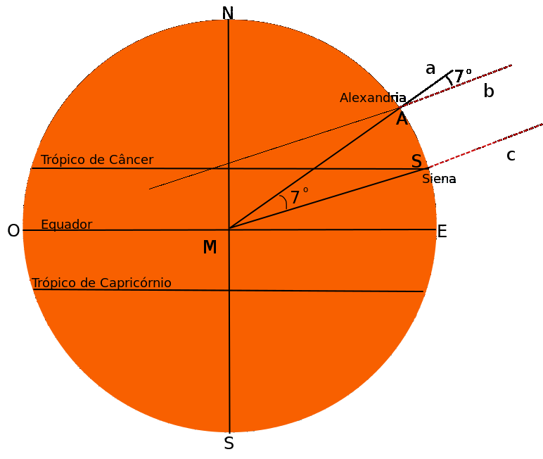
A German diagram illustrating Eratosthenes' geometric method for measuring the Earth's circumference using the cities of Alexandria and Syene.
This diagram illustrates the method Eratosthenes used to calculate the Earth's size.
About this source
What it is
This is a modern teaching diagram, made in 2005 by Eurico Zimbres, showing the Earth as a circle with the equator, tropics and the points Alexandria and Syene marked, along with the angle used in Eratosthenes' calculation.
Why it matters
This diagram recreates the geometric reasoning behind one of Eratosthenes' most famous achievements: estimating the size of the Earth. It is a later illustration made to help students understand the ancient method, not an object from Eratosthenes' own time.
Look closer
- Why did Eratosthenes need two distant cities to make his measurement?
- What role does the angle shown in the diagram play in the calculation?
- How might errors in measuring distance or angle have affected his result?
This artifact is part of the curated material that grounds the AI version of Eratosthenes on Humy.ai — when students ask about related events, the AI can quote it and cite it.
More Eratosthenes sources
Browse all 52 →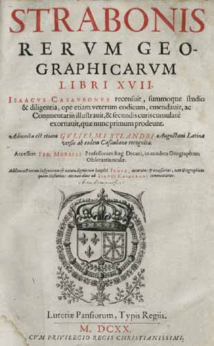 Book
Secondary source
Geography
Strabo · c. 20 AD
 Letter
Primary source
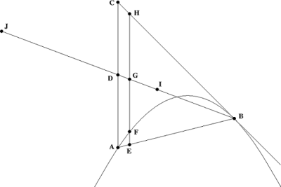
The Method of Mechanical Theorems
Archimedes · c. 250 BCE
 Document
Secondary source
Suda
various authors · c. 1000
Secondary source
Natural History, Book 2, on Eratosthenes' Earth Measurement
Pliny the Elder · c. 77 CE
Free account
Read every Eratosthenes source
Sign up free →
Ready when you are
Start chatting with Eratosthenes now.
20 messages free · No credit card · Available in 50+ languages.