


Secondary sourcePhotograph2010-12-18
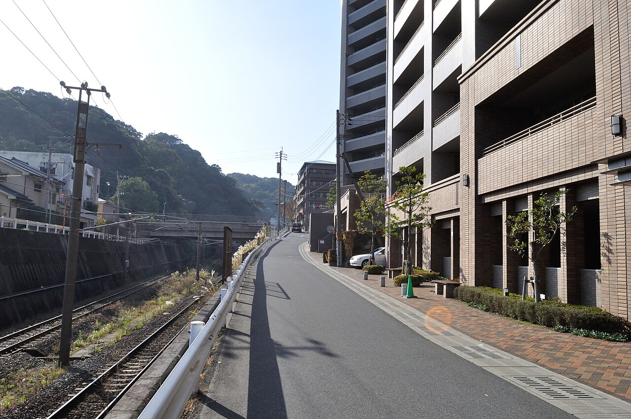
View up Shiroyama from Saigō's Deathplace, Kagoshima
Doricono · 2010-12-18
A modern photograph showing the terrain of Saigō Takamori's final battle and deathplace.
Depicts the terrain of Saigō's final battle and death during the Satsuma Rebellion.
About this source
What it is
This photograph captures the view looking up Shiroyama from the site where Saigō Takamori died. It reflects the landscape of his final stand during the Satsuma Rebellion.
Why it matters
This site is historically significant as the location of Saigō's last battle and death, marking the end of the Satsuma Rebellion and symbolizing the end of an era in Japanese history.
Look closer
- What does the terrain suggest about the challenges faced during the battle?
- How does the presence of modern infrastructure contrast with the historical event that took place here?
- What emotions might this landscape evoke considering its historical significance?
This photograph is part of the curated material that grounds the AI version of Saigō Takamori on Humy.ai — when students ask about related events, the AI can quote it and cite it.
More Saigō Takamori sources
Browse all 79 →Secondary source
Nanshūō Ikun
Saigō Takamori · 1890
 Artifact
Primary source
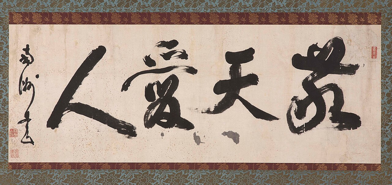
Keiten Aijin
Saigō Takamori
 Painting
Secondary source
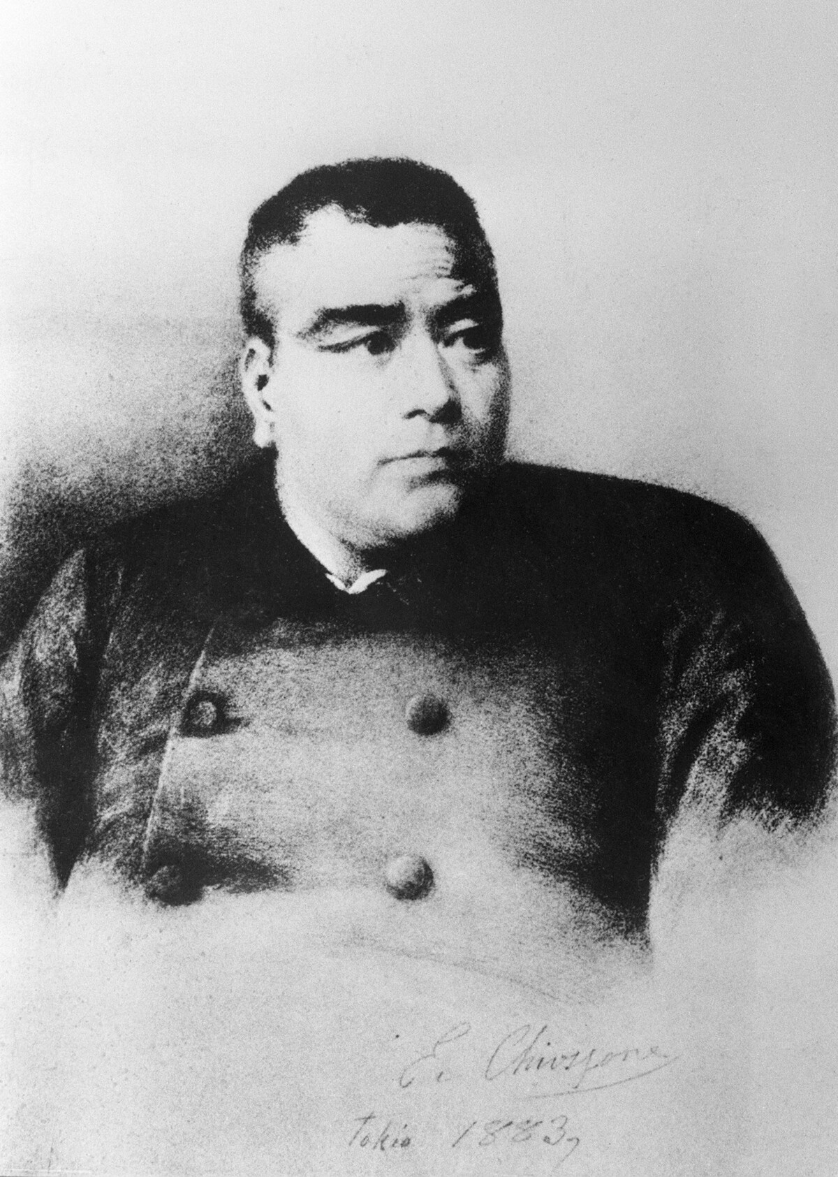
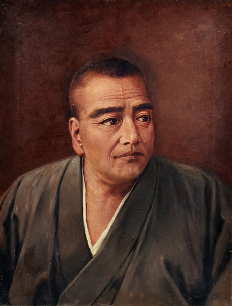
Portrait of Saigō Takamori
Edoardo Chiossone · 1883
 Sculpture
Secondary source
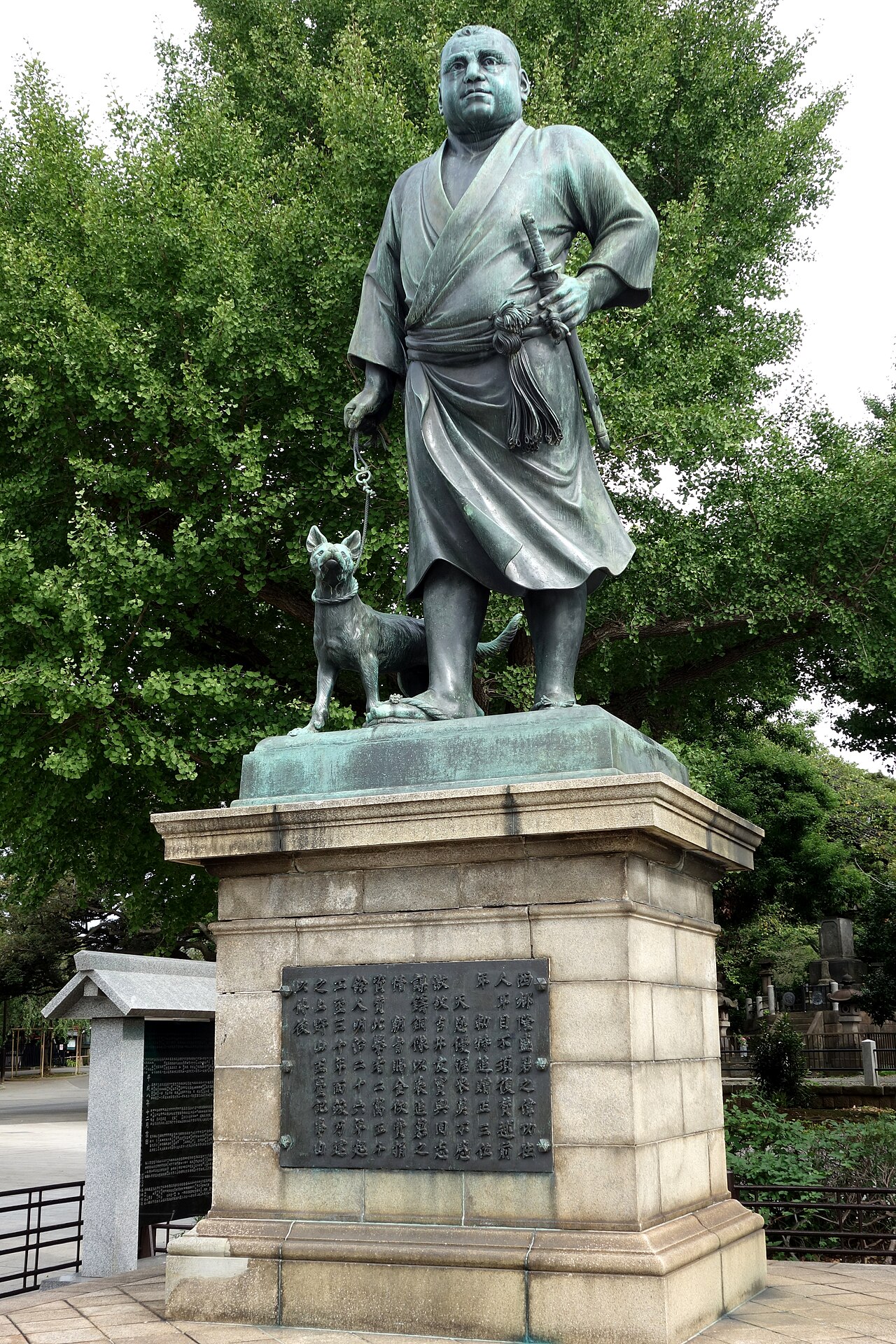
Statue of Saigō Takamori
Takamura Kōun · 1898
Free account
Read every Saigō Takamori source
Sign up free →
Ready when you are
Start chatting with Saigō Takamori now.
20 messages free · No credit card · Available in 50+ languages.