


Secondary sourceDocument2008
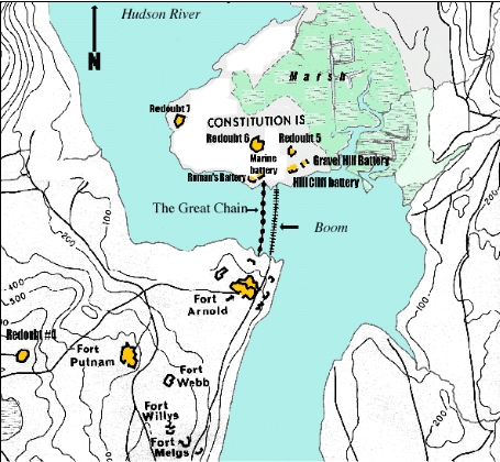
West Point Fortifications Map, Revolutionary War Period
United States Military Academy Department of Geography · 2008
A modern annotated map of West Point's Revolutionary War defenses, the fort Arnold planned to hand over to the British.
Shows the fortifications at West Point, the fort Arnold commanded and planned to surrender to the British.
About this source
What it is
This is a modern map, created in 2008 by the United States Military Academy Department of Geography, showing the fortifications built at West Point during the Revolutionary War, between 1775 and 1783.
Why it matters
West Point was a key American stronghold on the Hudson River. As commander there, Benedict Arnold secretly agreed to help the British capture it. This map labels features such as Fort Arnold, Fort Putnam and the Great Chain stretched across the river, helping students understand the scale and importance of the site Arnold tried to betray.
Look closer
- Why would controlling this stretch of the Hudson River matter so much to both armies?
- What does the name 'Fort Arnold' on the map tell you about his role before his betrayal?
- How might a map like this help explain why the British wanted West Point so badly?
This document is part of the curated material that grounds the AI version of Benedict Arnold on Humy.ai — when students ask about related events, the AI can quote it and cite it.
More Benedict Arnold sources
Meet the AI Benedict Arnold →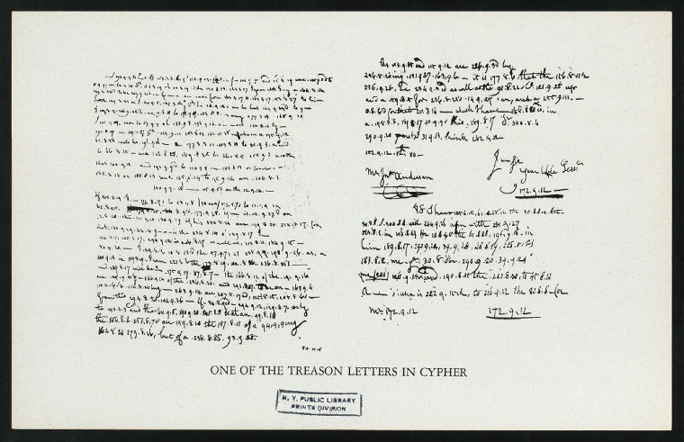 Letter
Primary source
Arnold Treason Cipher Letter
Benedict Arnold; Peggy Shippen Arnold · 1780
 Document
Primary source
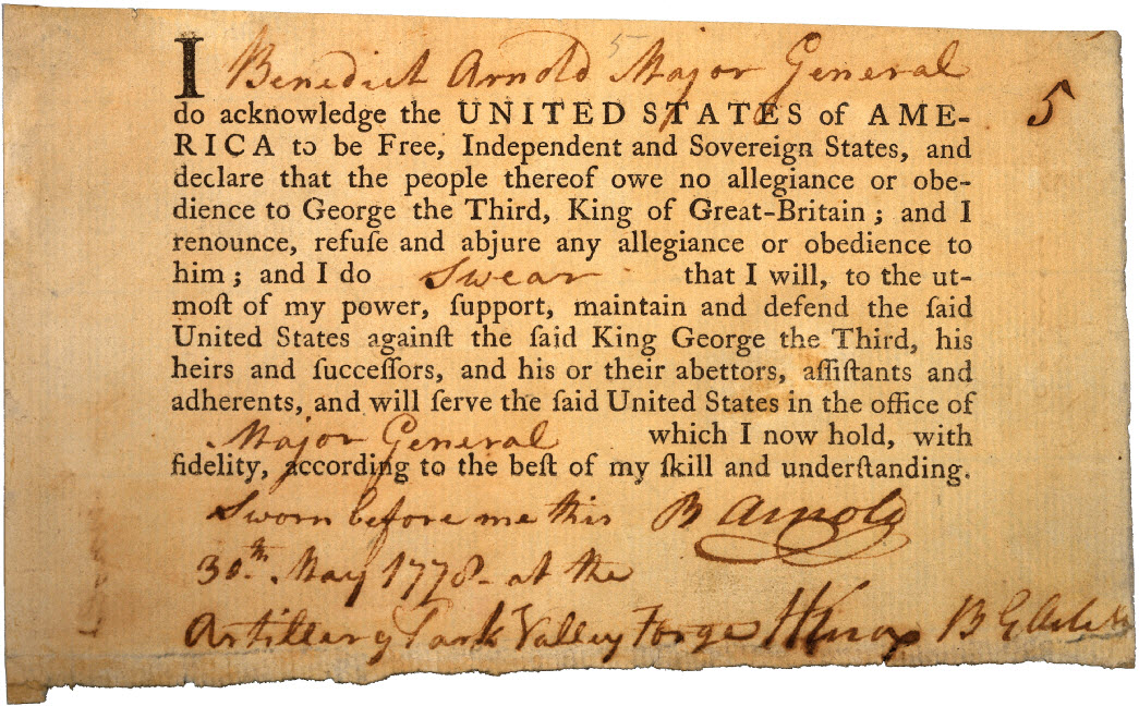
Benedict Arnold's Oath of Allegiance
Continental Congress · 30 May 1778
 Painting
Primary source
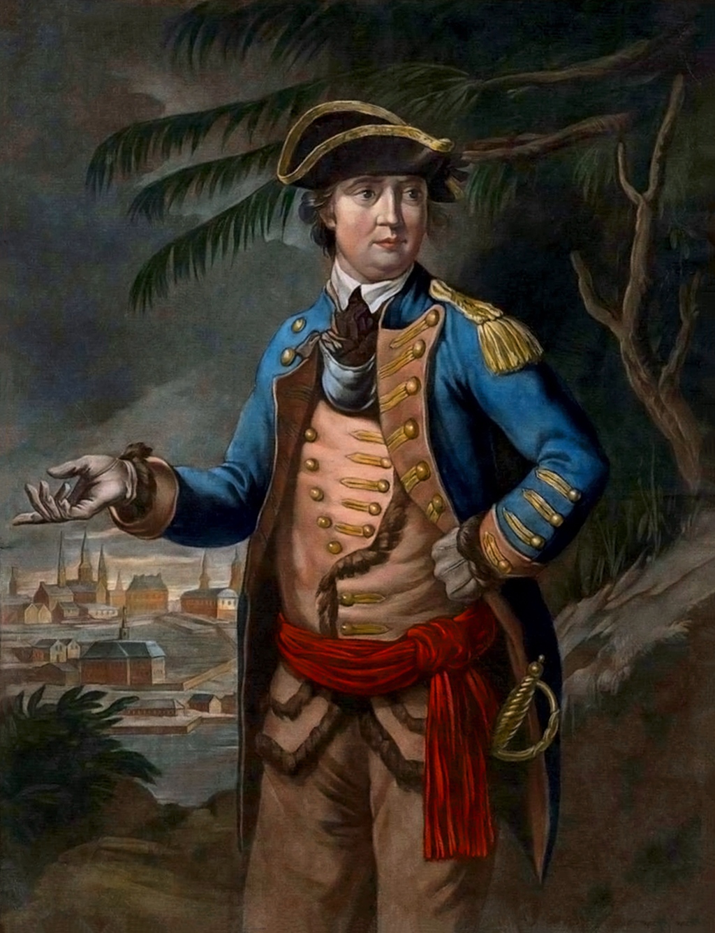
Portrait of Benedict Arnold
Thomas Hart · 26 March 1776
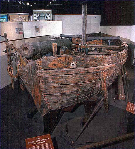 Artifact
Primary source
USS Philadelphia
1776
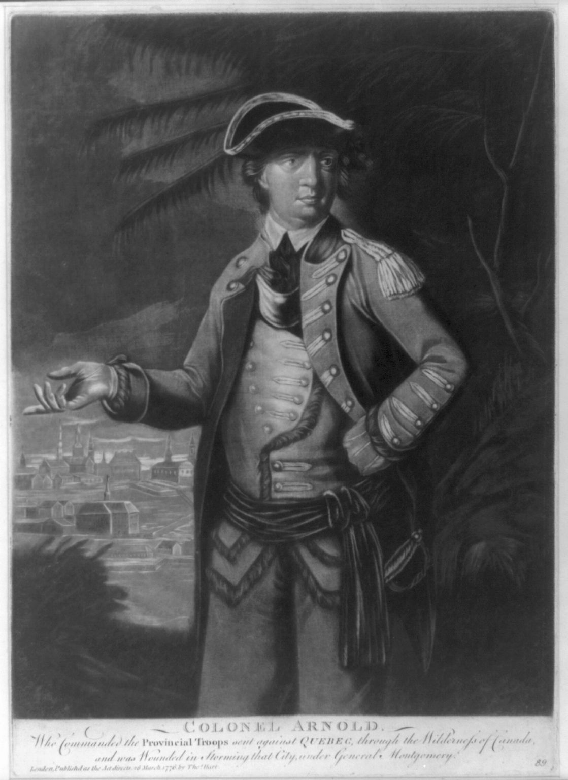 Painting
Primary source
Colonel Arnold
Thomas Hart · 1776
Ready when you are
Start chatting with Benedict Arnold now.
20 messages free · No credit card · Available in 50+ languages.