


Secondary sourcePainting1780 (print later)
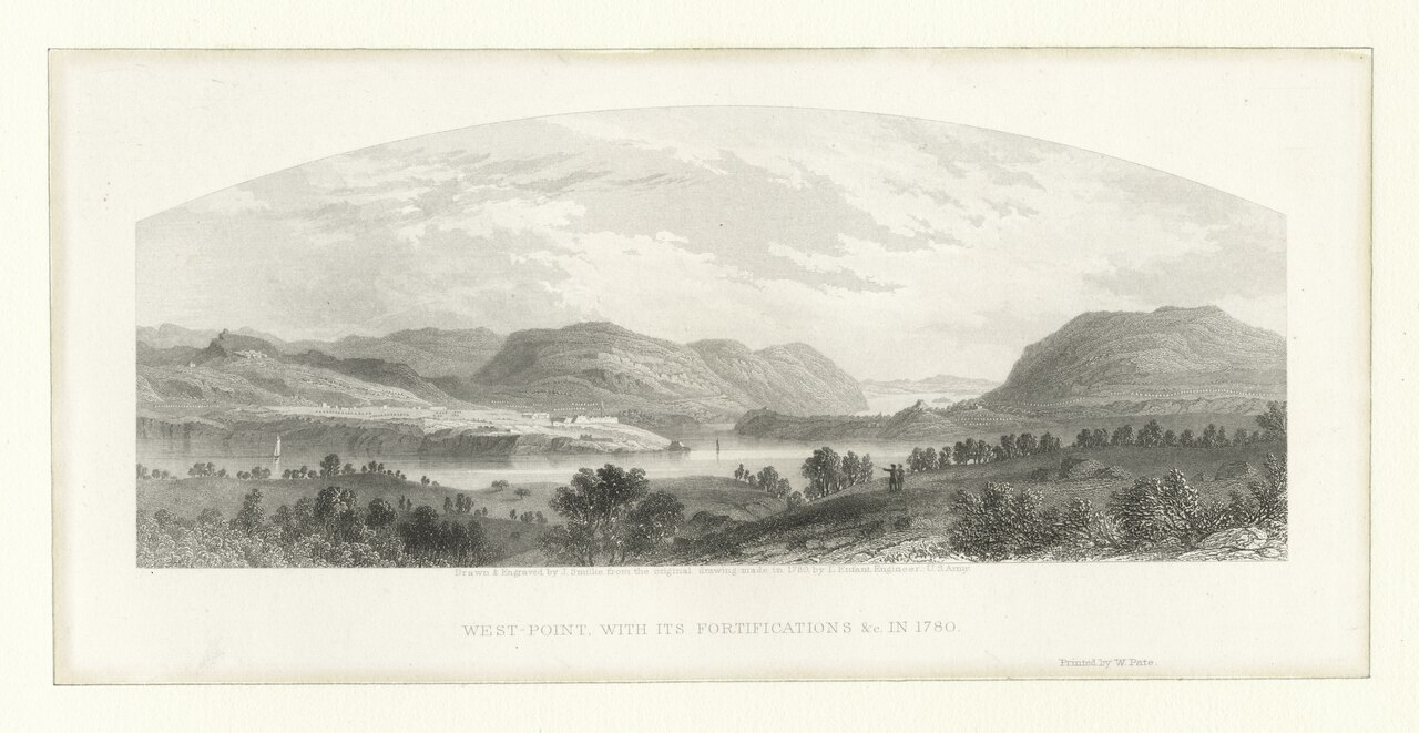
West Point with its Fortifications in 1780 (Second Print)
Henry Bryan Hall and James Smillie · 1780 (print later)
Another engraved panoramic view of West Point's 1780 fortifications, the fort Arnold commanded and attempted to betray.
Depicts West Point in 1780, the fort Arnold commanded and plotted to hand over to the British that year.
About this source
What it is
This is an engraved panoramic print of West Point in 1780, made by printmakers including Henry Bryan Hall and James Smillie, printed by W. Pate. It is preserved as a scan in the New York Public Library's Emmet Collection.
Why it matters
This view shows the Hudson River landscape around West Point in the very year Benedict Arnold, then its commander, secretly plotted with the British to surrender the fort. Seeing the river, hills and buildings helps explain why this location was so strategically valuable and worth defending — or betraying.
Look closer
- What do the hills, river and buildings in this print tell you about why West Point was hard to attack directly?
- Why might two different prints of the same scene from 1780 exist?
- What is missing from this peaceful landscape view that connects it to Arnold's plot?
This painting is part of the curated material that grounds the AI version of Benedict Arnold on Humy.ai — when students ask about related events, the AI can quote it and cite it.
More Benedict Arnold sources
Meet the AI Benedict Arnold →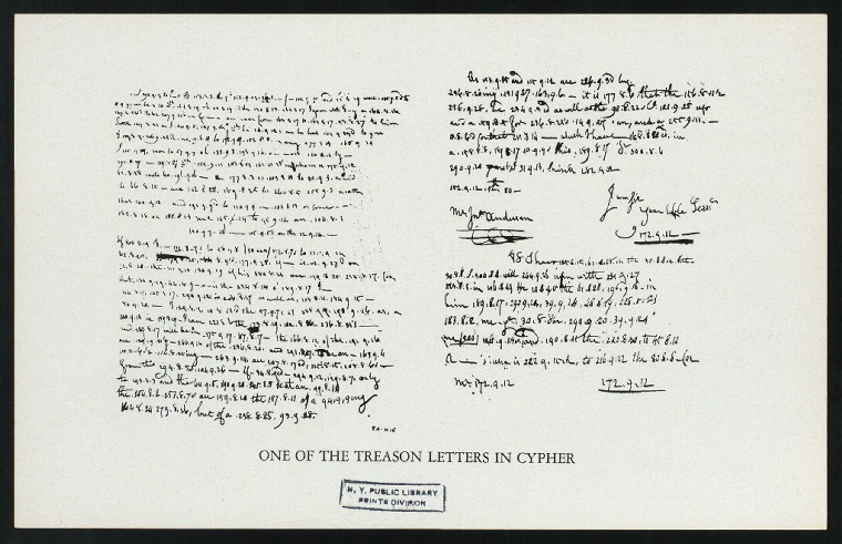 Letter
Primary source
Arnold Treason Cipher Letter
Benedict Arnold; Peggy Shippen Arnold · 1780
 Document
Primary source
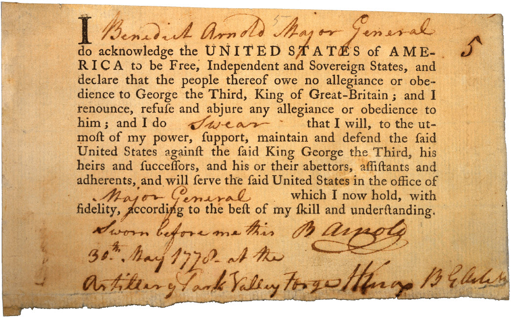
Benedict Arnold's Oath of Allegiance
Continental Congress · 30 May 1778
 Painting
Primary source
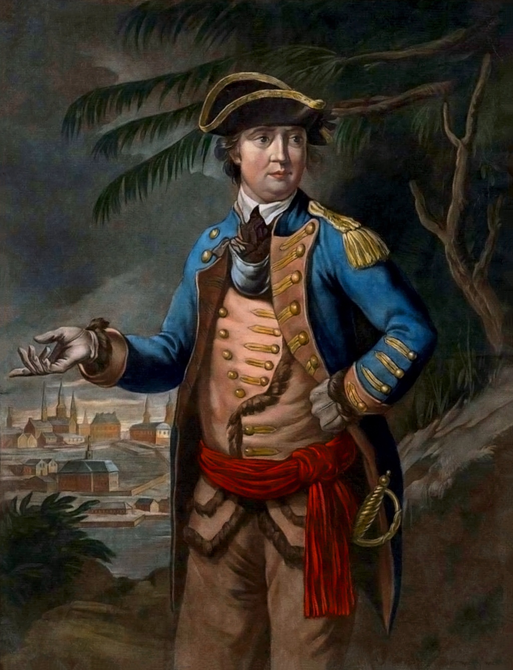
Portrait of Benedict Arnold
Thomas Hart · 26 March 1776
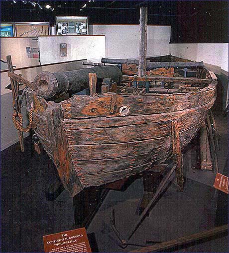 Artifact
Primary source
USS Philadelphia
1776
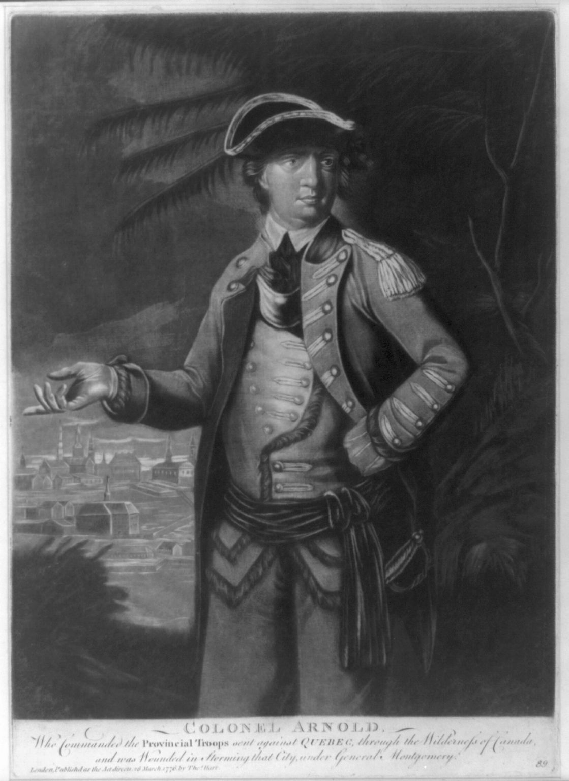 Painting
Primary source
Colonel Arnold
Thomas Hart · 1776
Ready when you are
Start chatting with Benedict Arnold now.
20 messages free · No credit card · Available in 50+ languages.