


Secondary sourceDocument1644 (Qing edition, prefaced 1621)
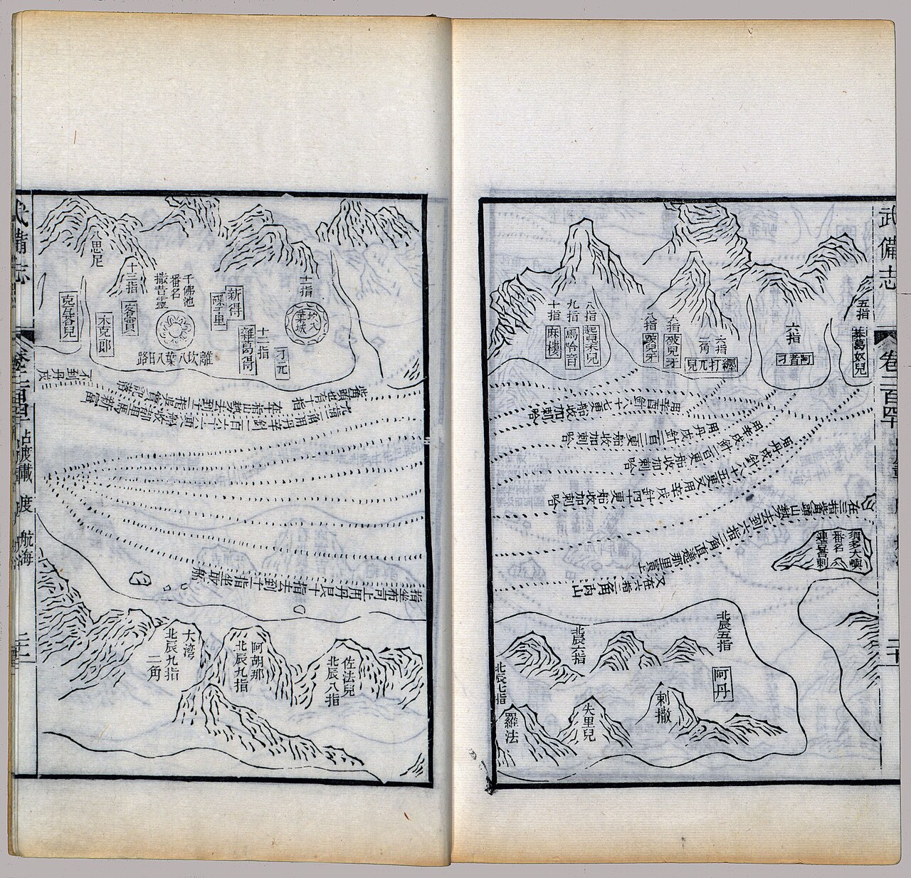
Wu Bei Zhi Map of Zheng He's Voyage Route
Mao Yuanyi · 1644 (Qing edition, prefaced 1621)
A 17th-century woodblock-printed map from a Chinese military compendium tracing Zheng He's voyage from Nanjing to the Persian Gulf.
This map, compiled generations later, records the route of Zheng He's famous voyages across the Indian Ocean.
About this source
What it is
This is a page from the Wu Bei Zhi, a large Chinese military compendium compiled by Mao Yuanyi, printed in woodblock. This particular chapter (juan 240) shows the route of Zheng He's voyages, from Nanjing through Southeast Asia, the Indian Ocean, and the Red Sea, to the Persian Gulf. The edition dates to the early Qing dynasty.
Why it matters
Made around two centuries after Zheng He's death, this map reflects how later generations of scholars and military planners recorded and studied his voyages. It is one of the main historical sources used to reconstruct the routes his fleets traveled.
Look closer
- Why might a military compendium include a map of old sea voyages?
- What can you tell about the places visited from the labels and route lines?
- How reliable might a map made centuries after the voyages be as a historical source?
This document is part of the curated material that grounds the AI version of Zheng He on Humy.ai — when students ask about related events, the AI can quote it and cite it.
More Zheng He sources
Browse all 78 →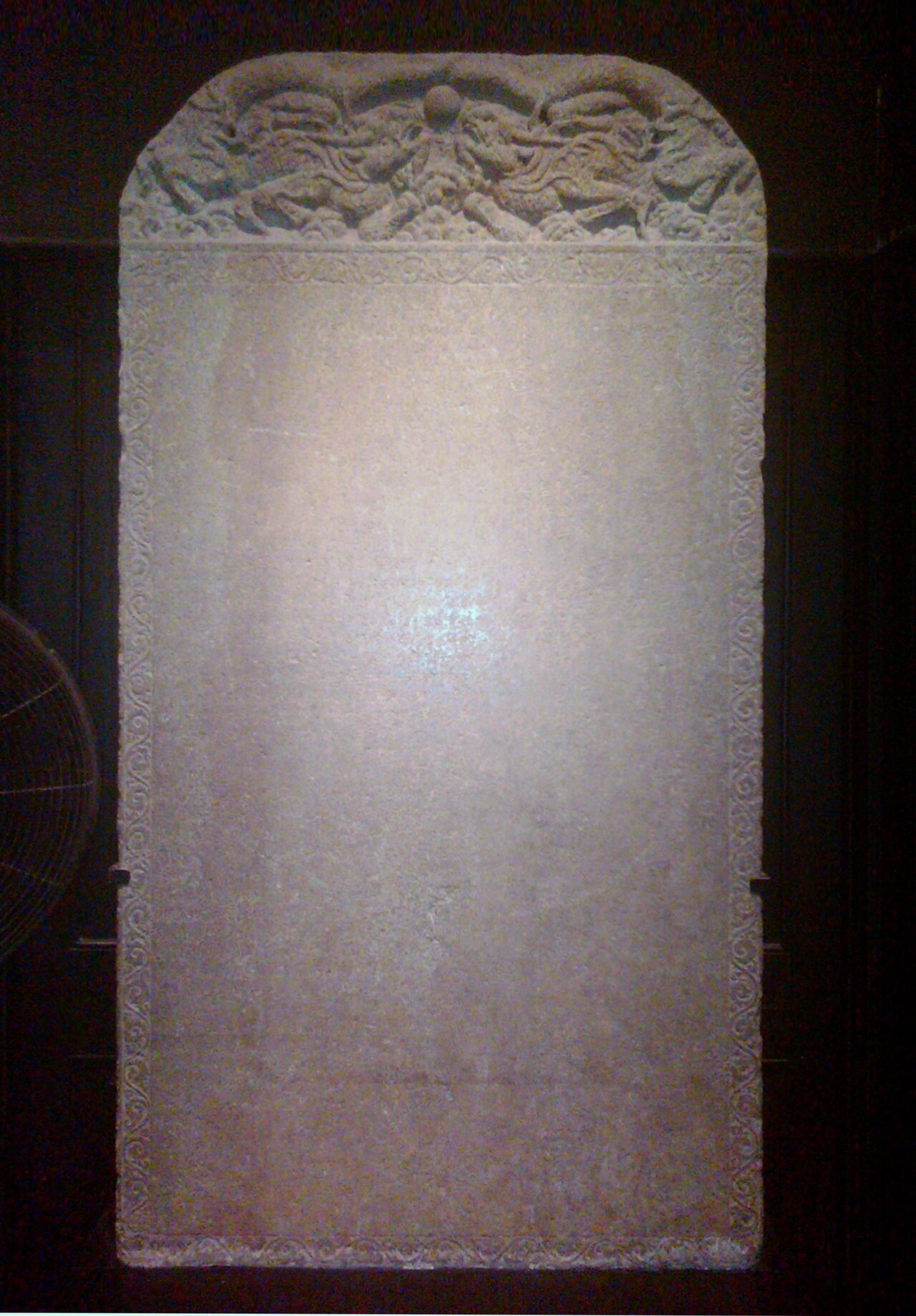 Artifact
Primary source
Galle Trilingual Stele
15 February 1409
 Book
Primary source
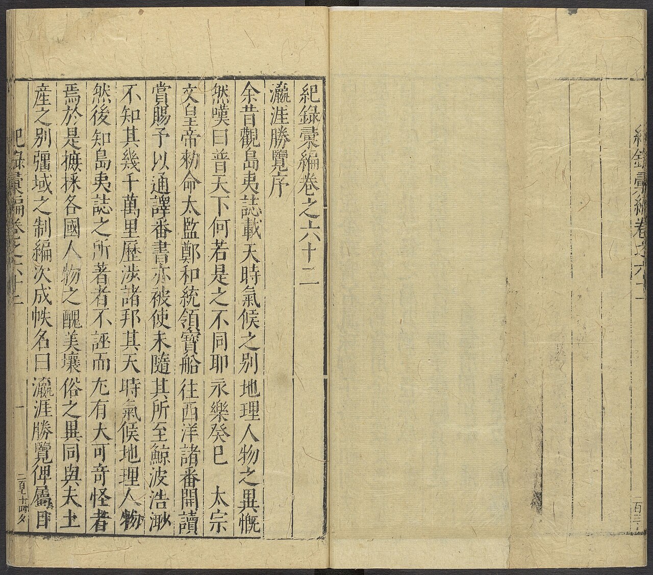
Ying Ya Sheng Lan
Ma Huan · written c. 1416, published 1451
 Document
Secondary source
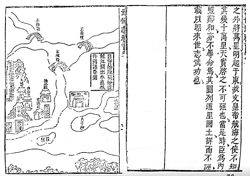
Mao Kun Map
Mao Yuanyi · 1621 (published 1628); believed based on earlier voyage charts
Primary source
Xingcha Shenglan
Fei Xin · 15th century
Free account
Browse every Zheng He source
Sign up free →
Ready when you are
Start chatting with Zheng He now.
20 messages free · No credit card · Available in 50+ languages.