


Secondary sourceDocumentunknown
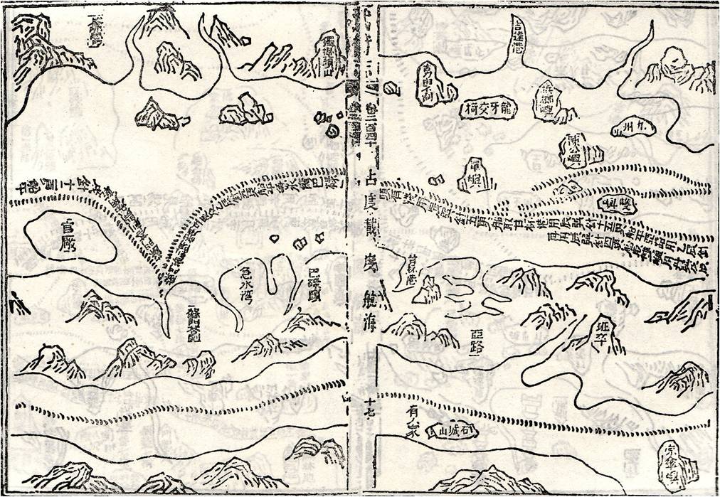
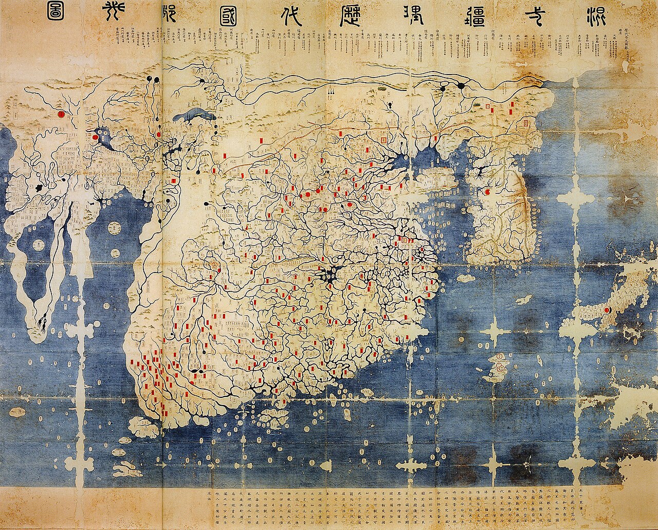
Zheng He's Sailing Chart, Page 17
unknown
A page from a historical sailing chart associated with Zheng He's maritime expeditions.
A sailing chart associated with Zheng He's voyages, used to illustrate Chinese maritime navigation of the period.
About this source
What it is
This image shows a woodblock-printed page from a sailing chart linked to Zheng He's voyages, showing hand-drawn coastlines, mountains, and many Chinese place names. The exact source and date of this particular printed reproduction are not given.
Why it matters
Sailing charts like this one were used to record and guide the enormous maritime expeditions Zheng He led during the Ming dynasty. They show the detailed geographic knowledge Chinese navigators had developed, combining coastlines, place names, and navigational features.
Look closer
- What details on the chart would have been most useful to a sailor navigating these waters?
- Why might place names be so prominent on a chart like this?
- What does the survival of a document like this tell us about the importance placed on recording these voyages?
This document is part of the curated material that grounds the AI version of Zheng He on Humy.ai — when students ask about related events, the AI can quote it and cite it.
More Zheng He sources
Browse all 78 →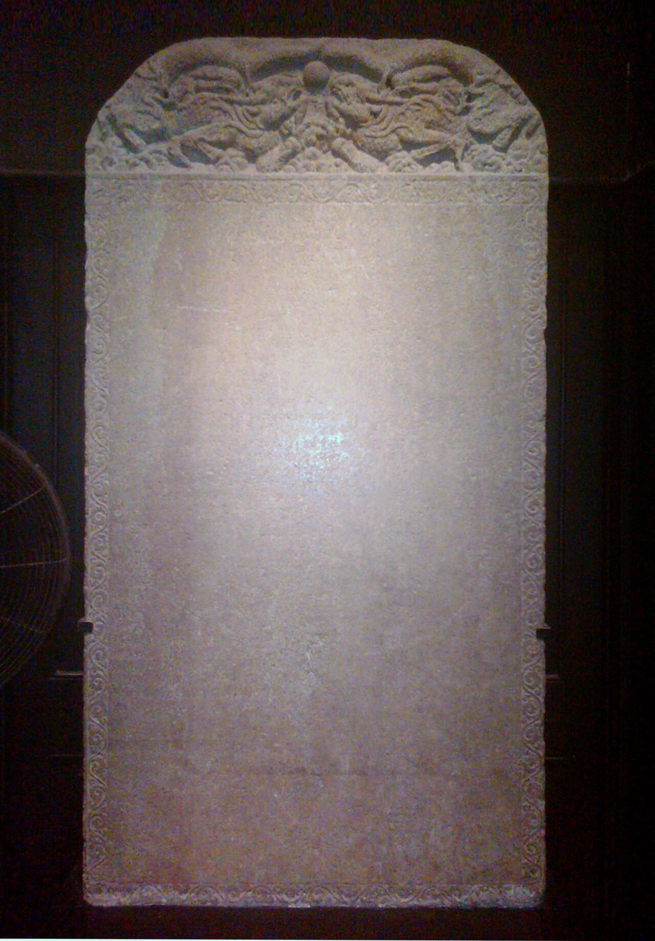 Artifact
Primary source
Galle Trilingual Stele
15 February 1409
 Book
Primary source
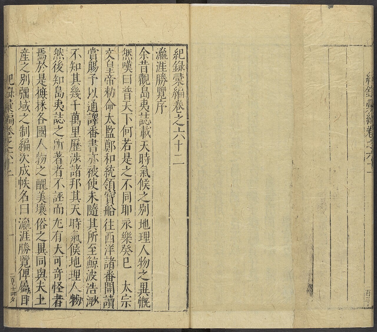
Ying Ya Sheng Lan
Ma Huan · written c. 1416, published 1451
 Document
Secondary source
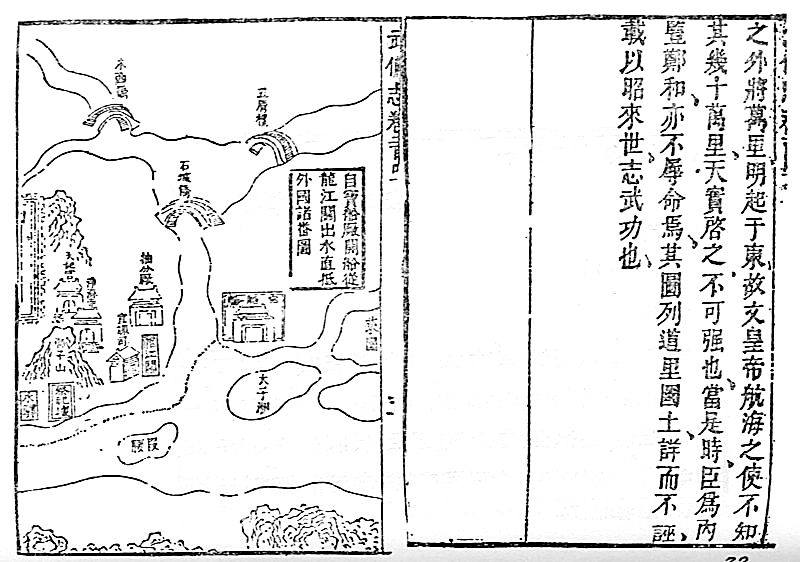
Mao Kun Map
Mao Yuanyi · 1621 (published 1628); believed based on earlier voyage charts
Primary source
Xingcha Shenglan
Fei Xin · 15th century
Free account
Browse every Zheng He source
Sign up free →
Ready when you are
Start chatting with Zheng He now.
20 messages free · No credit card · Available in 50+ languages.