


Primary sourceDocument1524
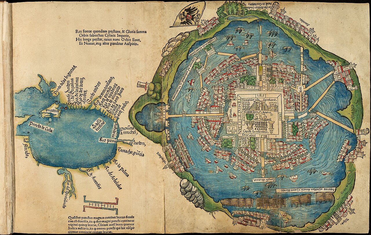
1524 Nuremberg Map of Tenochtitlan
Unknown engraver, published by Friedrich Peypus · 1524
Europe's first printed map of the Aztec capital, published with Cortés's second letter to Charles V.
This map illustrated Cortés's own letter, shaping Europe's first view of the city he conquered.
About this source
What it is
This woodcut map of Tenochtitlán was printed in Nuremberg in 1524 alongside the Latin edition of Cortés's letters. It is based on material believed to date from 1520, sent to Spain by Cortés's secretary, Juan de Ribera.
Why it matters
The map shaped how Europeans pictured the Aztec capital, showing its lakes, causeways and temple precinct as described in Cortés's account. It reveals how Cortés's report controlled the first European image of a great indigenous city, since the information passed through his own secretary.
Look closer
- Whose version of the city does this map represent — Spanish, indigenous, or both?
- Why would Cortés want such a detailed map included with his letter?
- What might this map leave out about the people who actually lived there?
This document is part of the curated material that grounds the AI version of Hernán Cortés on Humy.ai — when students ask about related events, the AI can quote it and cite it.
More Hernán Cortés sources
Meet the AI Hernán Cortés →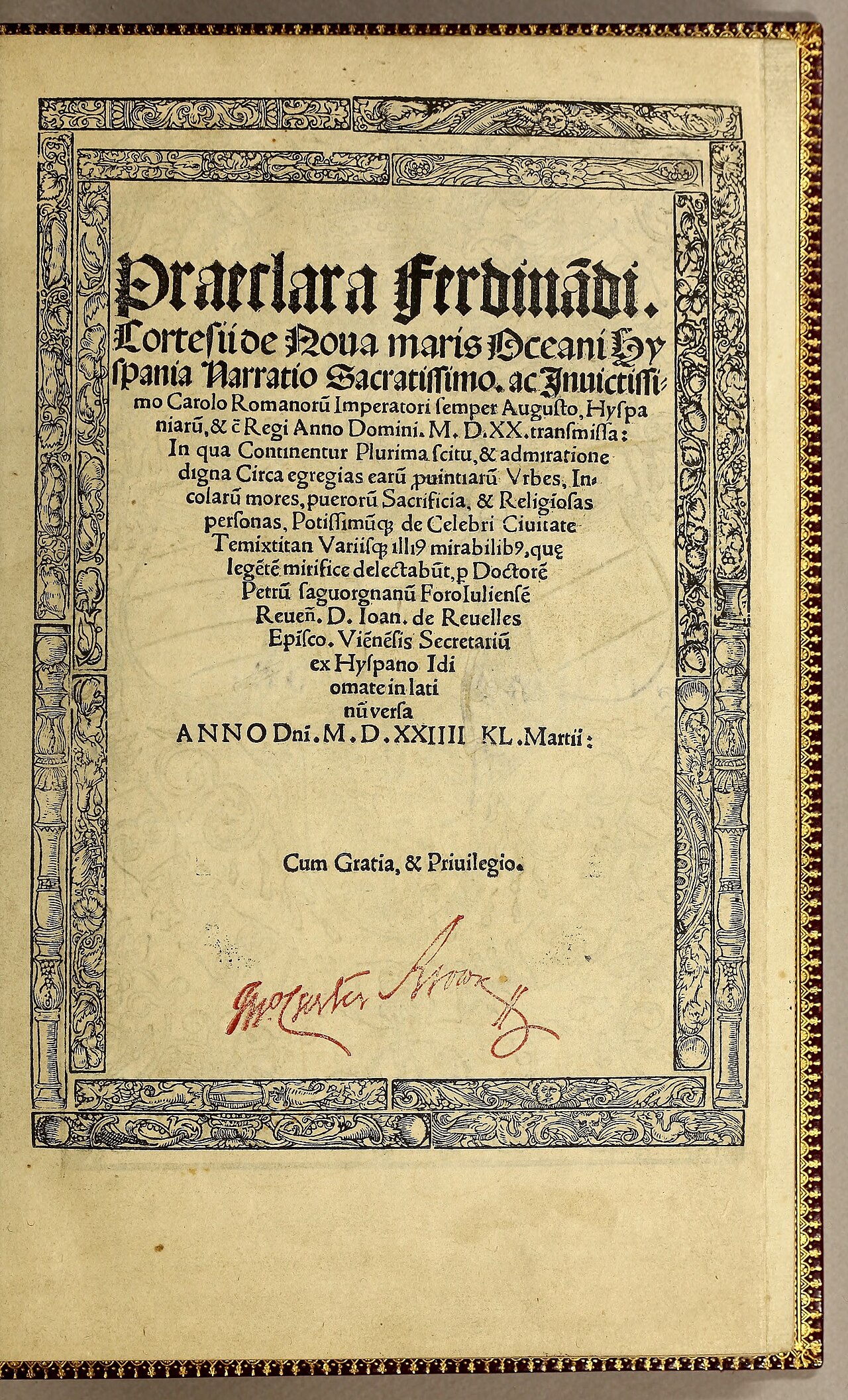 Letter
Primary source
Letters from Hernán Cortés to Charles V
Hernán Cortés · 1520 (printed 1524)
 Painting
Secondary source
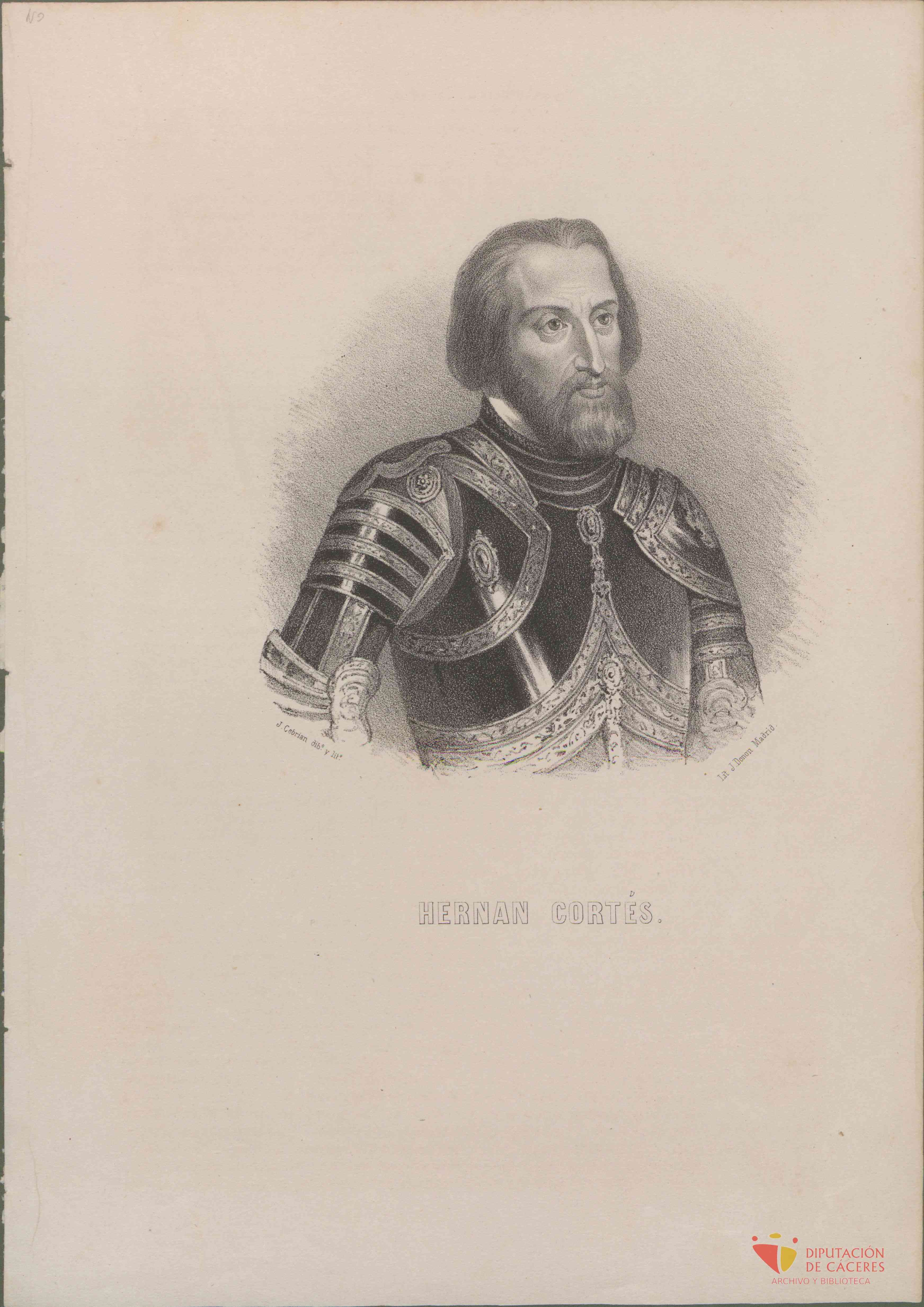
Engraving of Hernán Cortés
José Cebrián García · 1870
 Book
Secondary source
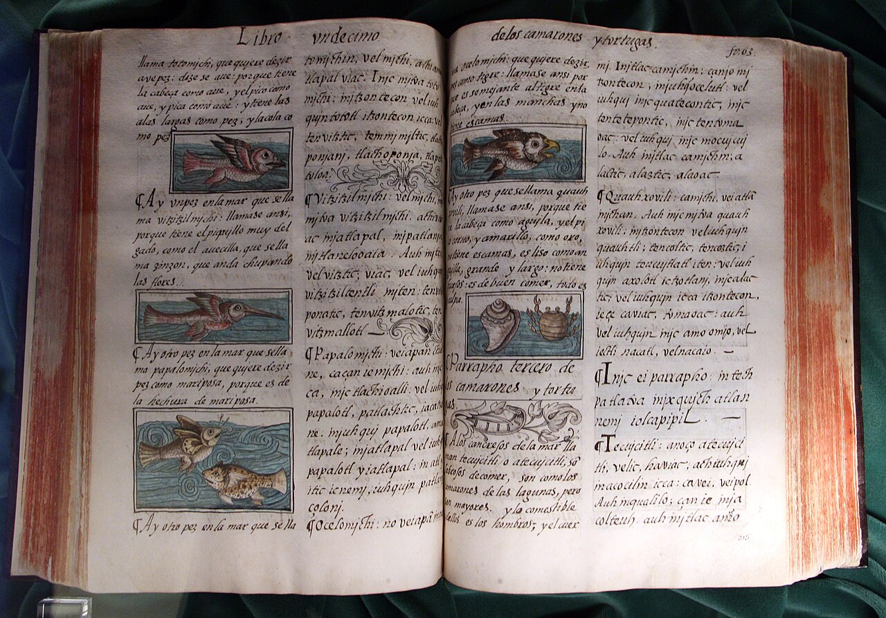
Florentine Codex
Bernardino de Sahagún with Nahua collaborators · 1569
 Painting
Secondary source
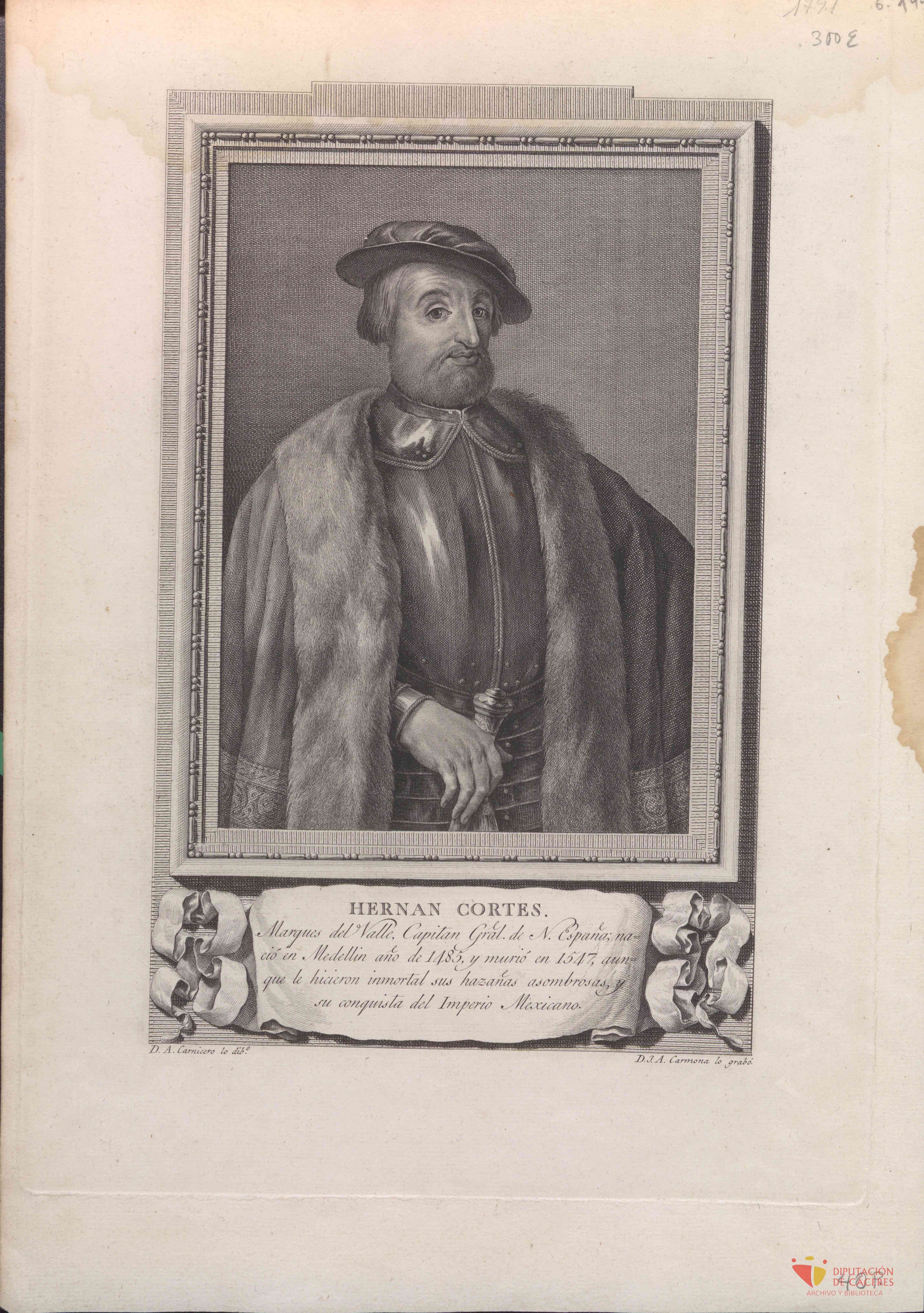
Engraving of Hernán Cortés after Juan Antonio Salvador Carmona
Antonio Carnicero Mancio, after Juan Antonio Salvador Carmona · 1805
 Book
Primary source
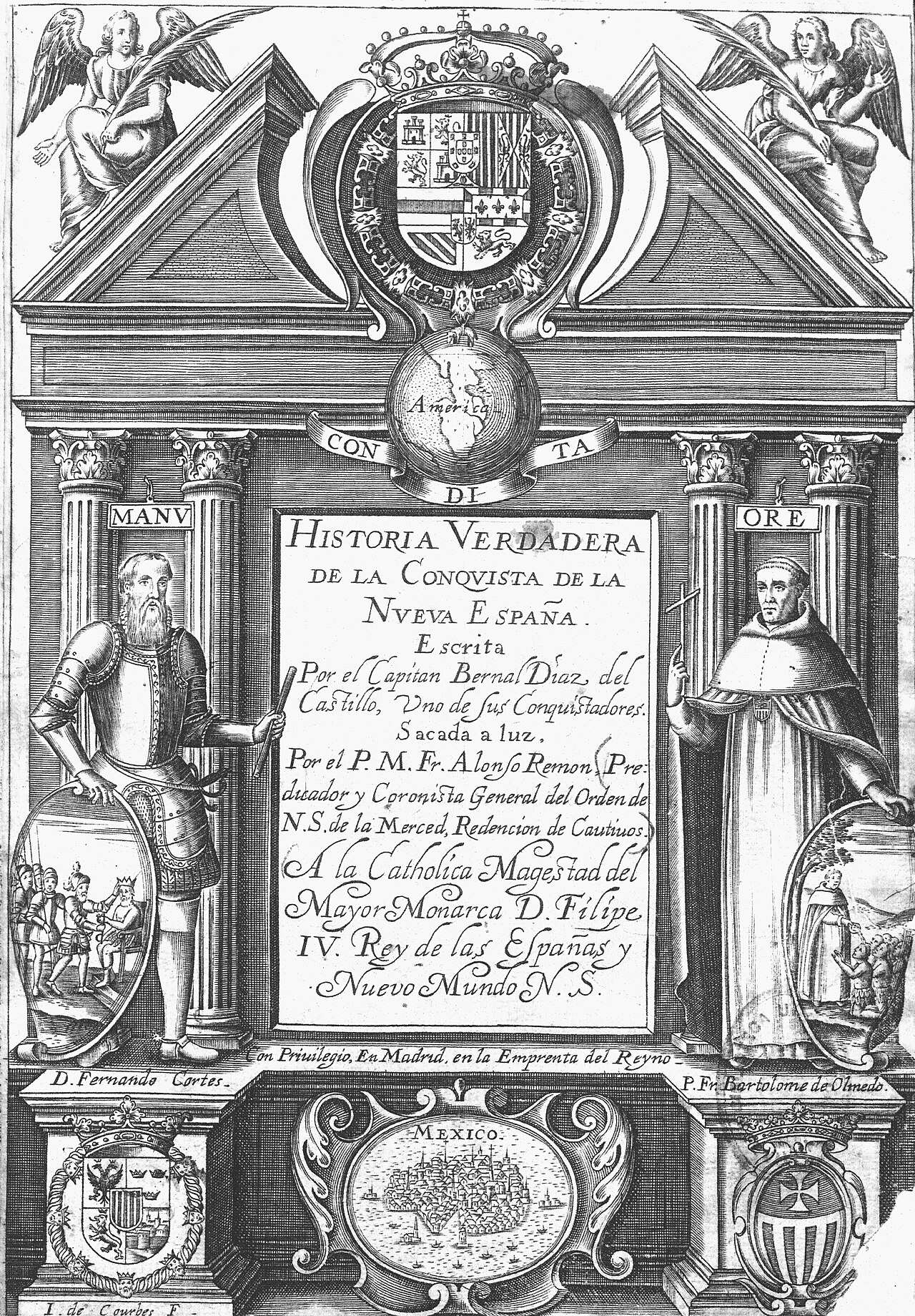
Historia verdadera de la conquista de la Nueva España
Bernal Díaz del Castillo · 1568
Ready when you are
Start chatting with Hernán Cortés now.
20 messages free · No credit card · Available in 50+ languages.