


Secondary sourceBook1890
Africa, Chapter XI: Nubia
Élisée Reclus · 1890
An 1890 geography chapter by Élisée Reclus describing a famous ancient map, the Turin papyrus, dating from the time of Ramses II.
The chapter dates an ancient map, the oldest of its kind, to the time of Ramses II's reign.
About this source
What it is
This chapter, from the 1890 geography book Africa by Élisée Reclus, covers the region of Nubia. It mentions a precious ancient document, a map, described as the oldest of its kind because it dates from the time of Ramses II.
Why it matters
The chapter shows how a map surviving from Ramesses II's era became important evidence for later geographers studying ancient Egyptian and Nubian geography, though Ramesses II himself is only a dating reference here.
Look closer
- Why would a 19th-century geographer care about the age of an ancient Egyptian map?
- What might the map's survival tell us about record-keeping during Ramesses II's reign?
- How is Ramesses II used here mainly as a marker of time rather than as a historical figure in his own right?
This book is part of the curated material that grounds the AI version of Ramses II (Ramses the Great) on Humy.ai — when students ask about related events, the AI can quote it and cite it.
More Ramses II (Ramses the Great) sources
Meet the AI Ramses II (Ramses the Great) →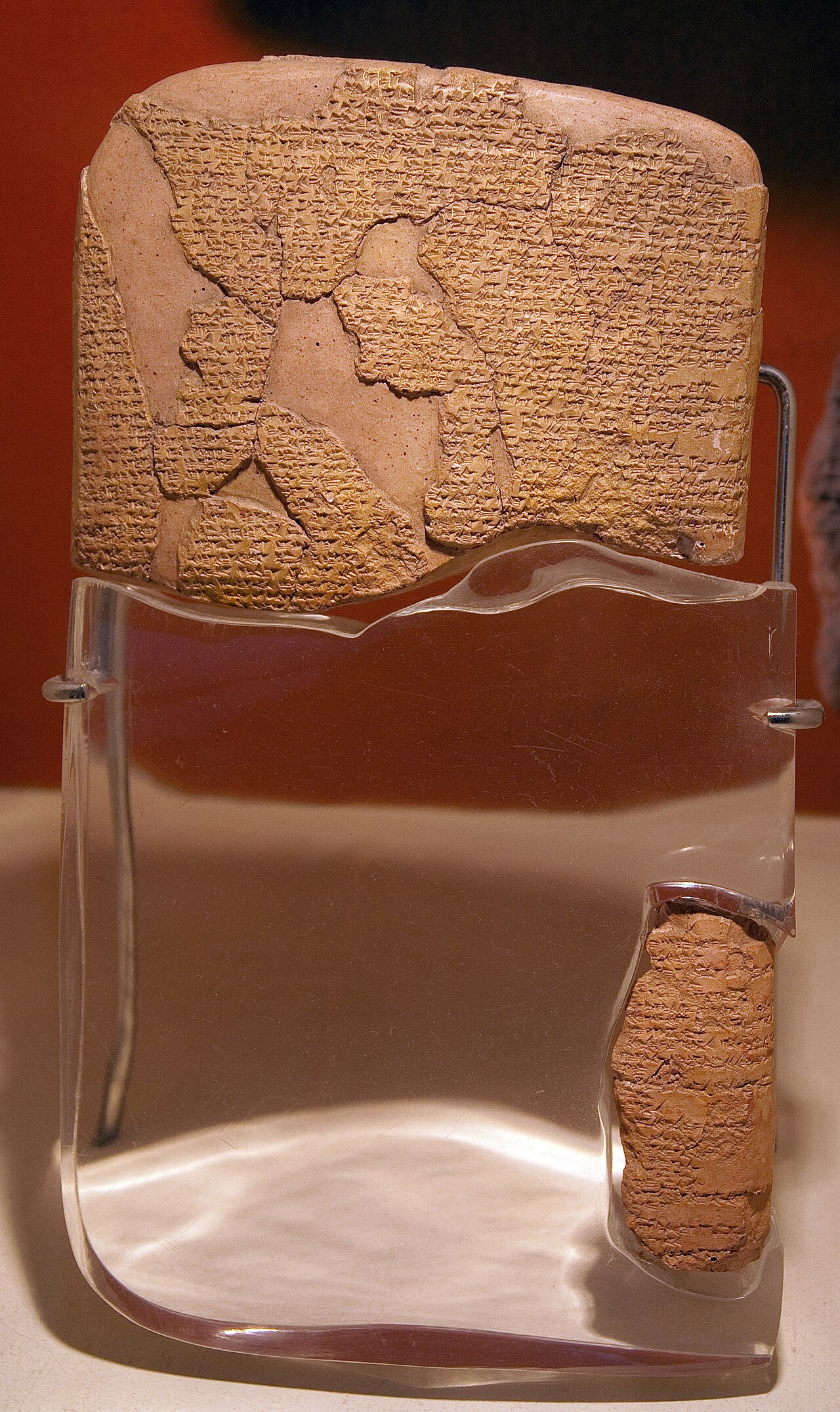 Document
Primary source
Egyptian–Hittite Peace Treaty
c. 1258 BCE
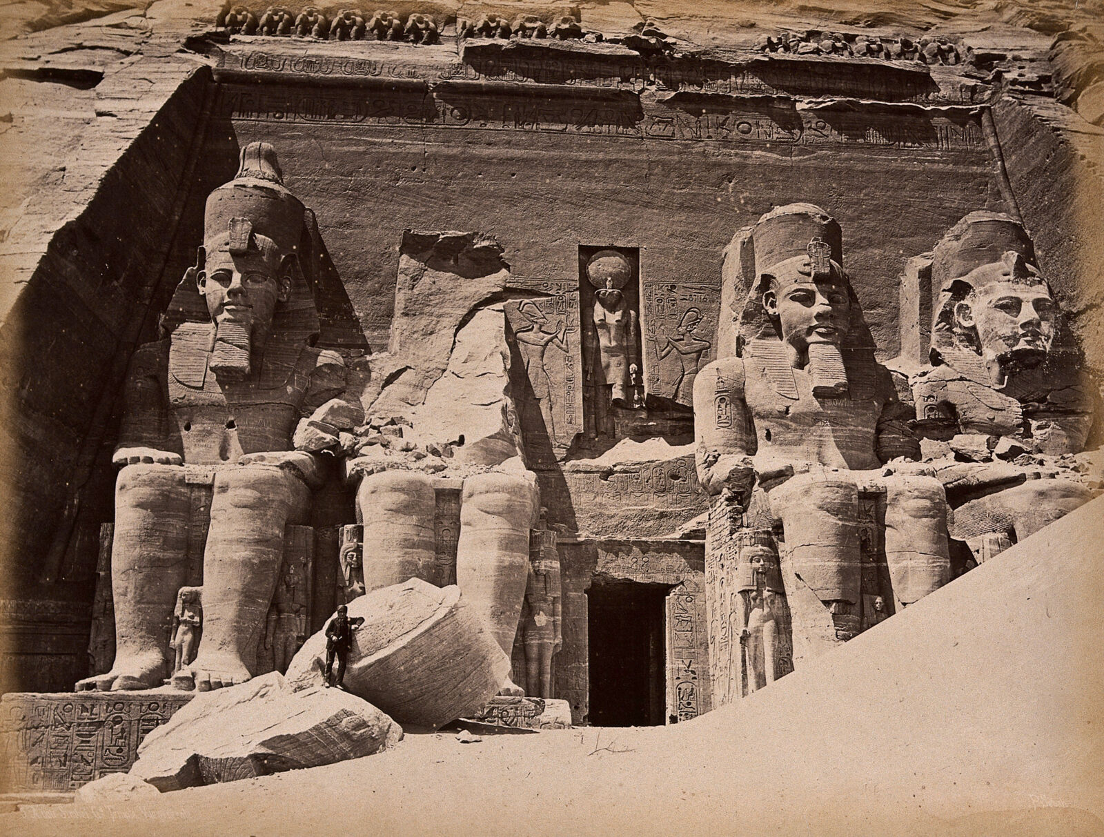 Photograph
Secondary source
Abu Simbel Temple Colossi
Pascal Sébah · 1875
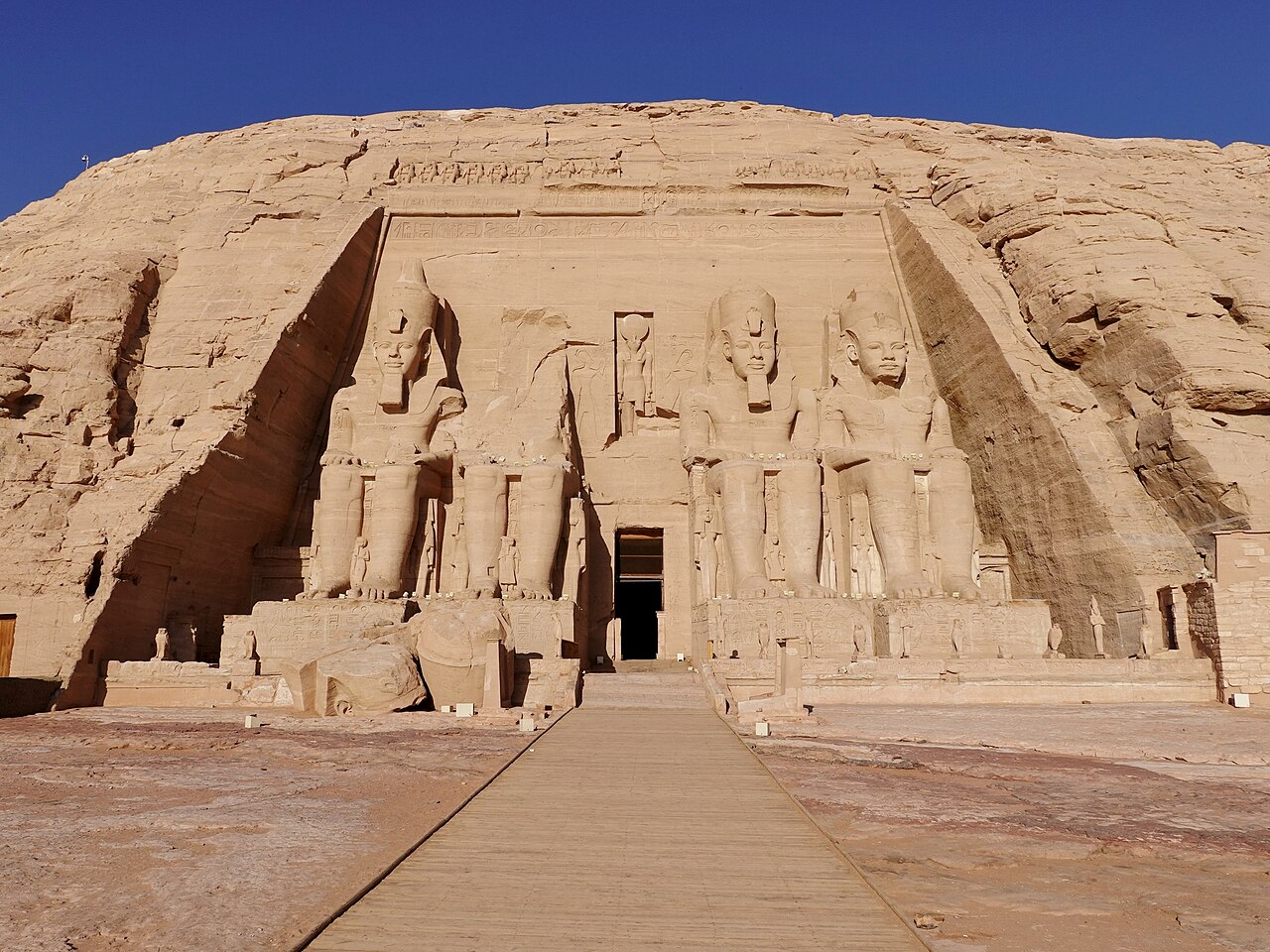 Artifact
Primary source
Abu Simbel
Ramesses II · c. 1273 BCE
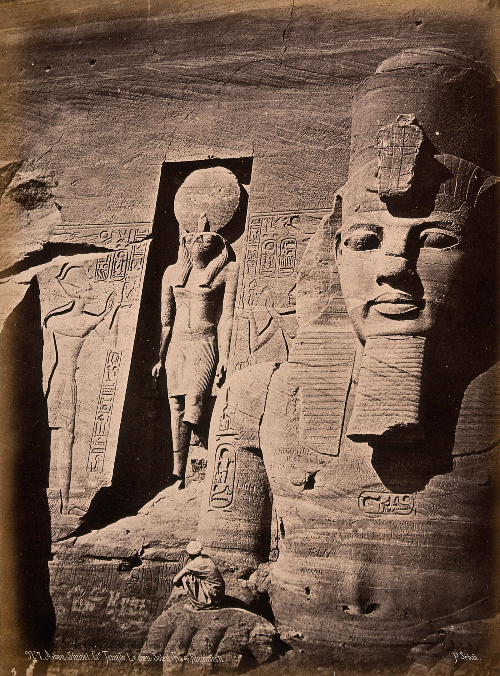 Photograph
Secondary source
Facade Detail of Abu Simbel Showing Ramesses II and Ra
Pascal Sébah · 1875
 Photograph
Secondary source
Ramesseum Colossi in Ruins
Pascal Sébah · c. 1875
Ready when you are
Start chatting with Ramses II (Ramses the Great) now.
20 messages free · No credit card · Available in 50+ languages.