


Secondary sourcePhotograph14 June 2014
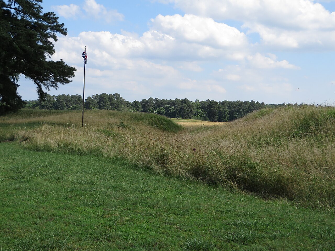
British Inner Defense Lines at Yorktown, Second Photograph
Ken Lund · 14 June 2014
A 2014 photograph of the earthwork defenses at Yorktown battlefield, the site of the siege James Armistead Lafayette's spying helped win.
Shows the Yorktown battlefield, the site of the siege whose outcome Armistead's spying helped secure.
About this source
What it is
This is a modern photograph, taken in 2014, of the grassy earthworks that formed part of the British defensive lines at Yorktown, Virginia, where the decisive siege of the American Revolutionary War took place in 1781.
Why it matters
The Siege of Yorktown ended with the surrender of British General Lord Cornwallis to American and French forces under George Washington and the Comte de Rochambeau. James Armistead, an enslaved man who spied for the Americans and fed false information to the British, helped set up this very victory. The photograph shows what remains of the battlefield today, long after the events it is tied to.
Look closer
- What can you tell about the scale of the defenses from the shape of the land?
- Why might a modern photograph be useful even though it shows no people or events?
- What is missing from this image that written sources about the siege might tell you?
This photograph is part of the curated material that grounds the AI version of James Armistead Lafayette on Humy.ai — when students ask about related events, the AI can quote it and cite it.
More James Armistead Lafayette sources
Meet the AI James Armistead Lafayette →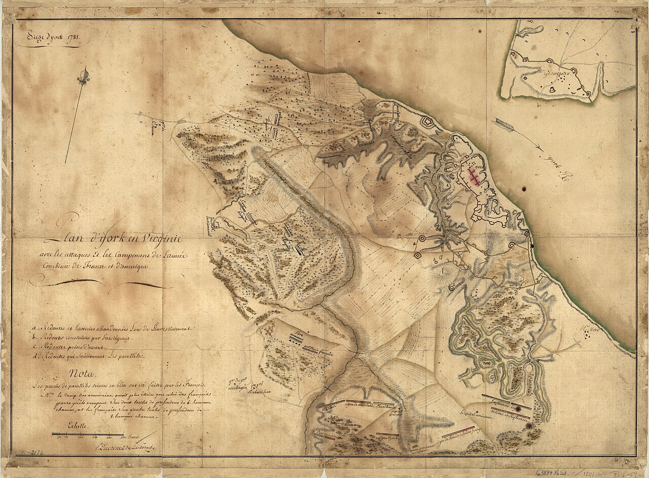 Document
Primary source
Siege of York, 1781: Plan of Franco-American Siege Works
Querenet De La Combe · 1781
 Document
Primary source
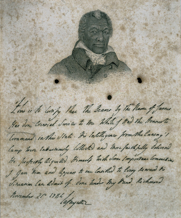
Certificate for James Armistead Lafayette
Marquis de Lafayette · 21 November 1784
 Document
Primary source
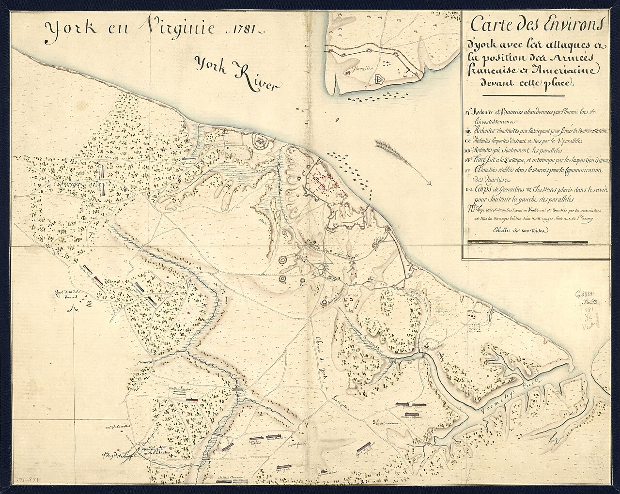
York en Virginie, 1781: Map of Franco-American Positions at York
1781
 Painting
Primary source
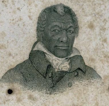
Portrait of James Armistead Lafayette
John B. Martin · c. 1824
 Document
Primary source
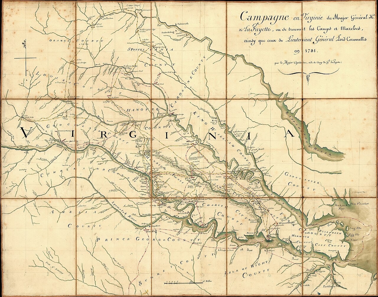
Campaign of the Marquis de Lafayette in Virginia, 1781
Michel Capitaine Du Chesnoy · 1781
Ready when you are
Start chatting with James Armistead Lafayette now.
20 messages free · No credit card · Available in 50+ languages.