


Primary sourcePaintingc. 1375
Catalan Atlas
Cresques Abraham · c. 1375
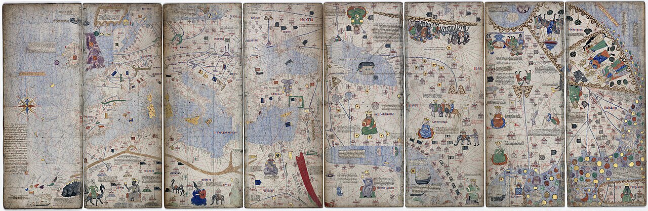
A 1375 world map depicting Mansa Musa and the Saharan trade world that Ibn Battuta crossed on his journey to Mali.
Shows the Saharan trade world and Mali Empire that Ibn Battuta crossed and described firsthand on his journey to Mali.
About this source
What it is
The Catalan Atlas is a medieval world map made around the late 1370s by Cresques Abraham, a Jewish cartographer working in Majorca. It is held at the Bibliotheque nationale de France and shows Europe, North and West Africa, and the East, with illustrations of rulers, cities and flags.
Why it matters
The atlas shows Mansa Musa, ruler of the Mali Empire, and the Saharan trade routes that Ibn Battuta travelled when he journeyed to Mali in 1352-53. Made by Europeans who never visited these lands themselves, it reveals how outsiders imagined the regions Ibn Battuta actually crossed and described firsthand, including exaggerated ideas about Mali's wealth.
Look closer
- How does this European map's view of Mali compare to what a traveller like Ibn Battuta reported from direct experience?
- Why might the mapmaker have emphasised gold and riches in the caption about Mansa Musa?
- What does the map get wrong or leave out about the interior of Africa?
This painting is part of the curated material that grounds the AI version of Ibn Battuta, Marco Polo and Sunni Ali on Humy.ai — when students ask about related events, the AI can quote it and cite it.
More Ibn Battuta sources
Meet the AI Ibn Battuta →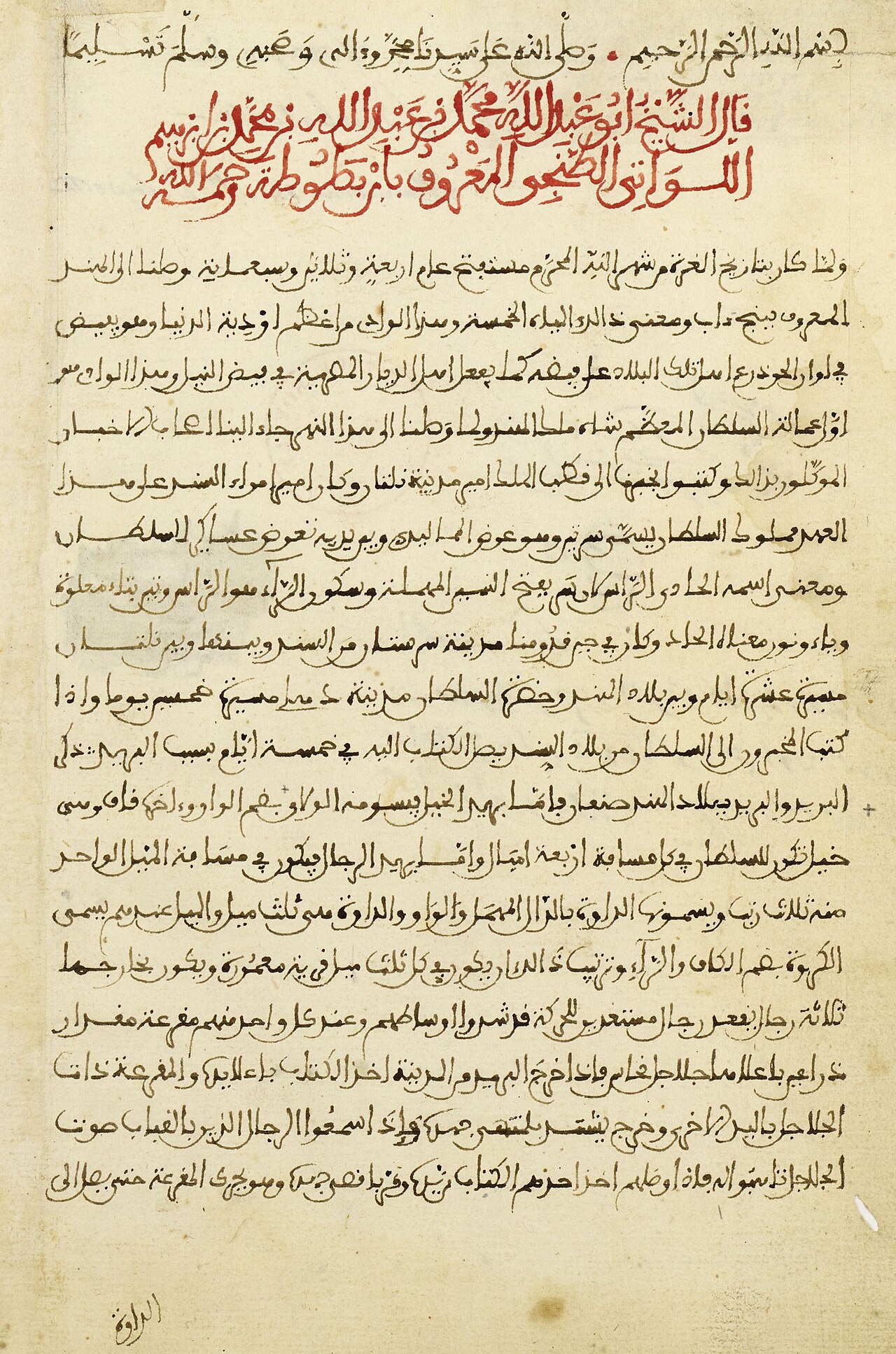 Book
Primary source
The Rihla
Ibn Battuta · 1354-1356
 Book
Primary source
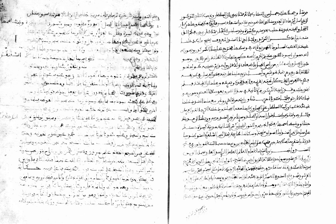
Manuscript of the Rihla by Ibn Juzayy
Ibn Juzayy · 14th century
 Artifact
Secondary source
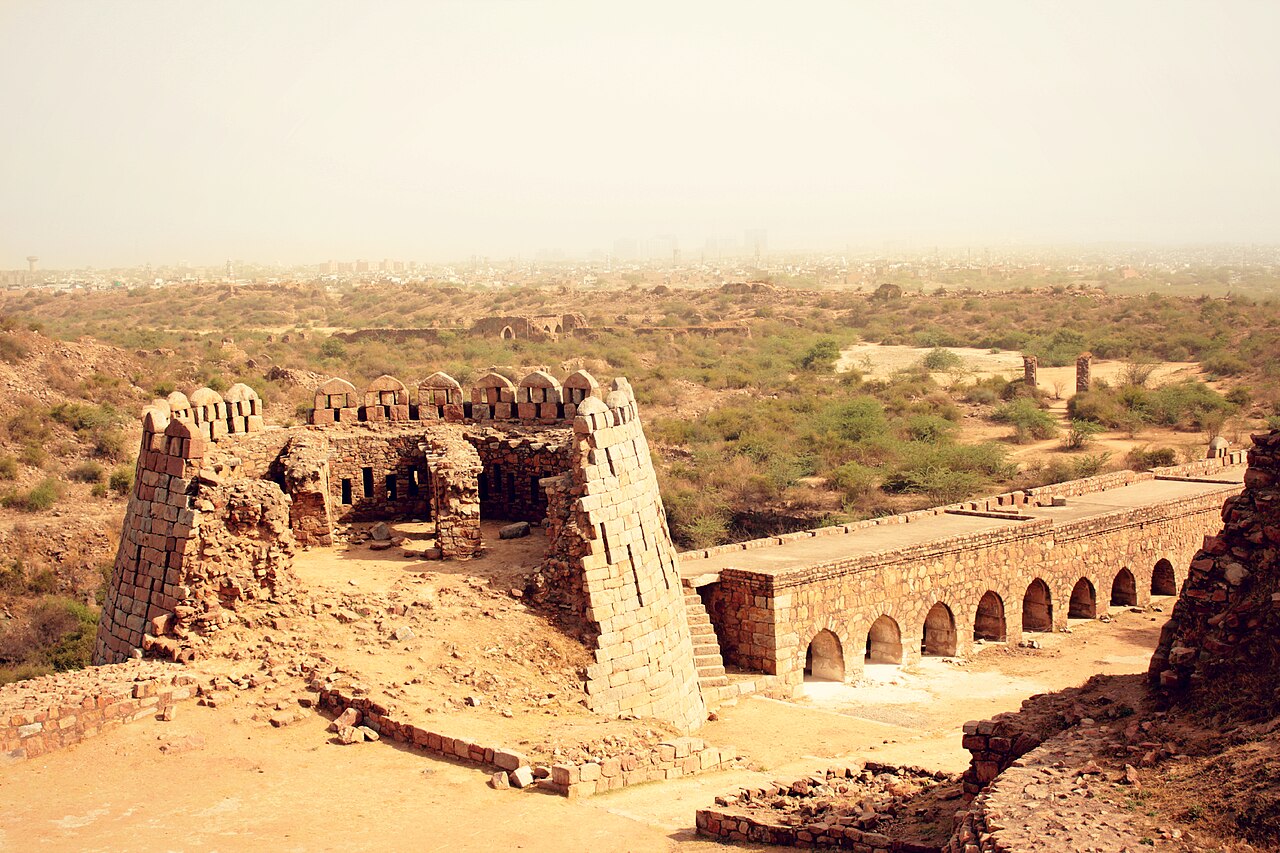
Tughlaqabad Fort
Ghiyath al-Din Tughluq · 1321
 Book
Secondary source
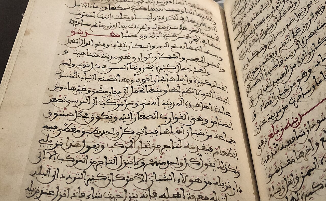
Manuscript copy of the Rihla (1484)
Ibn Juzayy · 1484
 Artifact
Secondary source
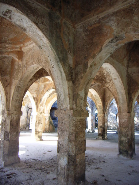
Great Mosque of Kilwa
11th-14th century
Ready when you are
Start chatting with Ibn Battuta now.
20 messages free · No credit card · Available in 50+ languages.