


Primary sourceDocumentc. 1505-1506
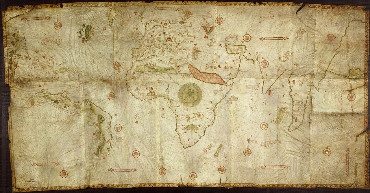
Caverio Map
Nicolay de Caveri · c. 1505-1506
A c.1505 nautical chart recording the Indian Ocean coastlines revealed by da Gama's voyage and those that followed it.
Maps the Indian Ocean coastlines revealed by da Gama's pioneering voyage to India.
About this source
What it is
The Caverio Map is a large hand-drawn and coloured parchment chart signed by Nicolay de Caveri, made around 1505-1506, likely in Lisbon or Genoa. It is kept at the Bibliothèque Nationale de France.
Why it matters
The map draws on Portuguese sources, including information gathered from voyages like da Gama's, to record the coastlines of Africa, the Indian Ocean and the newly explored Americas. It was itself an important source for later maps, such as the Waldseemüller map of 1507. Its inscriptions, copied from an earlier Portuguese map, also reveal how Europeans described newly encountered peoples.
Look closer
- What does the detail and accuracy of the coastlines tell you about the knowledge gained from voyages like da Gama's?
- Why might a mapmaker in Genoa have access to Portuguese discoveries?
- What assumptions or biases can you spot in how distant lands and peoples are described on old maps like this?
This document is part of the curated material that grounds the AI version of Vasco da Gama on Humy.ai — when students ask about related events, the AI can quote it and cite it.
More Vasco da Gama sources
Meet the AI Vasco da Gama →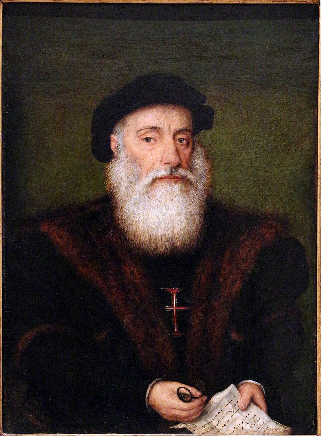 Painting
Secondary source
Portrait of Vasco da Gama
Anonymous · c. 1525
 Painting
Secondary source
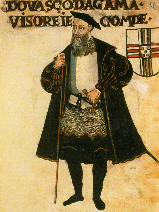
Vasco da Gama, Livro de Lisuarte de Abreu
Livro de Lisuarte de Abreu (compiler unknown) · c. 1565
 Document
Secondary source
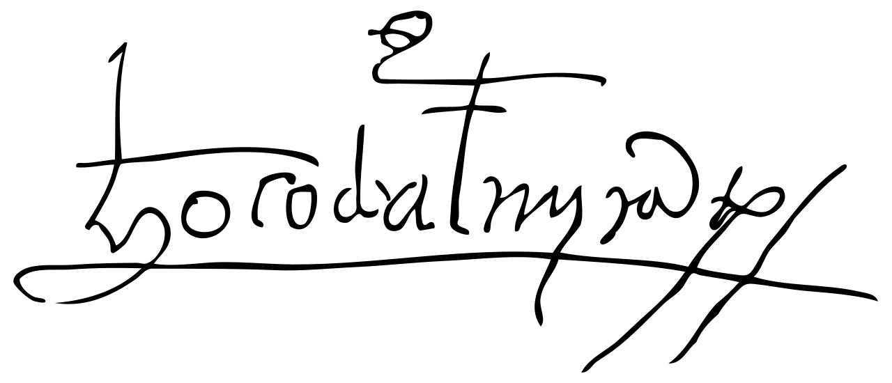
Signature of Vasco da Gama
Vasco da Gama
 Artifact
Primary source
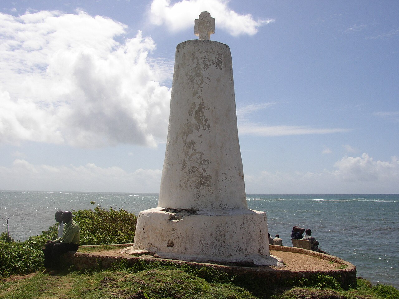
Vasco da Gama Pillar
1498 or 1499
 Document
Primary source
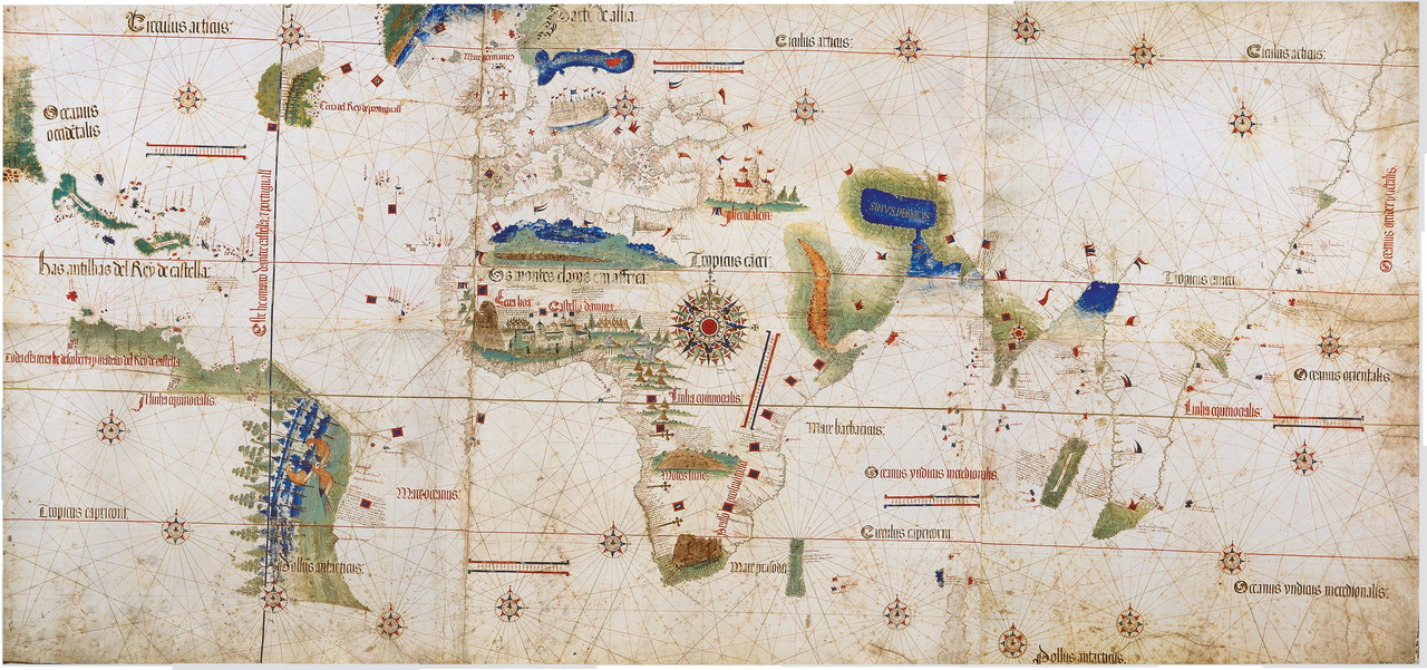
Cantino Planisphere
Anonymous Portuguese cartographer · 1502
Ready when you are
Start chatting with Vasco da Gama now.
20 messages free · No credit card · Available in 50+ languages.