


Tertiary sourceDocument2024
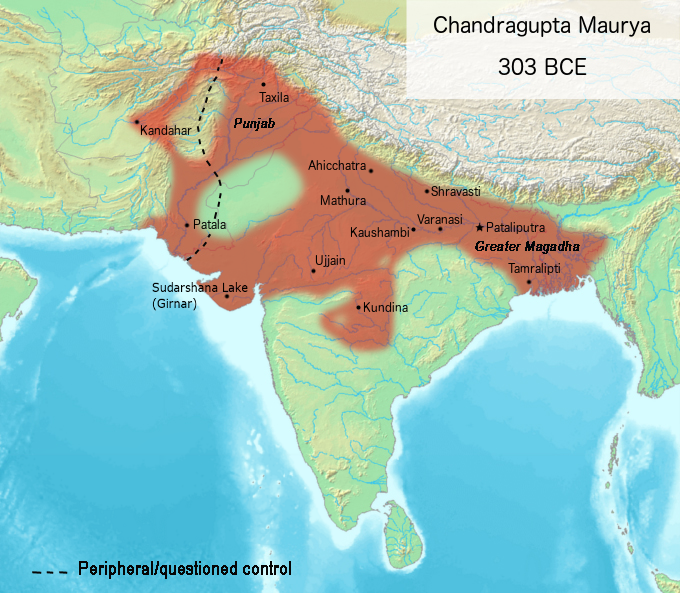
Chandragupta Maurya Empire Map, 303 BCE
Avantiputra7 · 2024
A modern map reconstruction showing the extent of Chandragupta Maurya's empire around 303 BCE.
A modern reconstruction mapping the territorial extent of the empire Chandragupta Maurya founded.
About this source
What it is
This is an extract from a modern animated map created in 2024 by a Wikimedia contributor, showing the Magadha empire's expansion. It depicts the territory controlled by Chandragupta Maurya around 303 BCE, with cities such as Taxila, Kandahar, Pataliputra, Ujjain, Kundina and Tamralipti marked.
Why it matters
Maps like this help students visualize how large the Maurya Empire became under Chandragupta, who founded it. The dashed line marking peripheral or questioned control reminds us that ancient borders were not always fixed or certain, and that modern maps are reconstructions based on later evidence, not ancient documents themselves.
Look closer
- Why does the map use a dashed line for some areas instead of a solid border?
- What sources might a modern mapmaker use to decide where to draw an ancient empire's borders?
- How might the real extent of Chandragupta's power have differed from what a map can show?
This document is part of the curated material that grounds the AI version of Chandragupta Maurya on Humy.ai — when students ask about related events, the AI can quote it and cite it.
More Chandragupta Maurya sources
Meet the AI Chandragupta Maurya →Secondary source
Arthashastra
Chanakya (traditional attribution) · c. 1st–3rd century CE (traditionally attributed to Chanakya, c. 300 BCE)
 Document
Secondary source
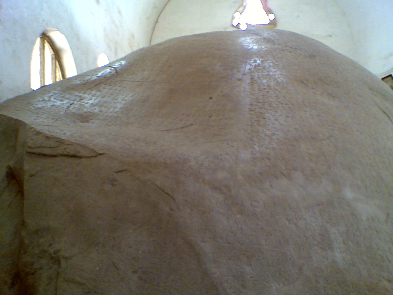
Junagadh Rock Inscription of Rudradaman
Rudradaman I (commissioner) · shortly after 150 CE
 Book
Secondary source
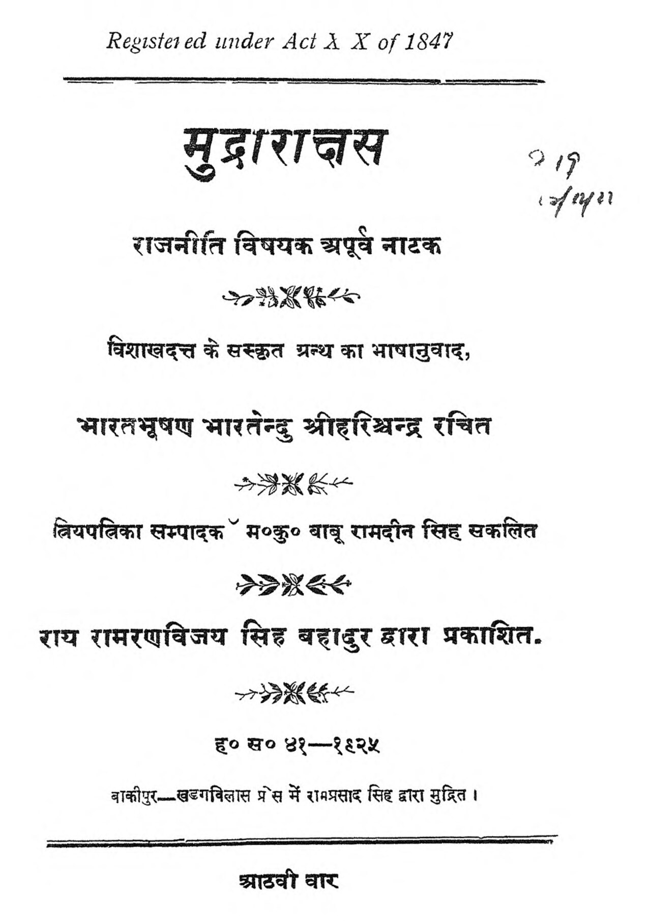
Mudrarakshasa
Vishakhadatta · between the 4th and 8th century CE
 Document
Primary source
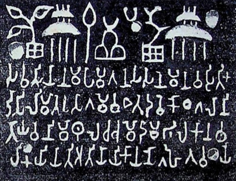
Sohgaura Copper Plate Inscription
3rd century BCE
 Document
Secondary source
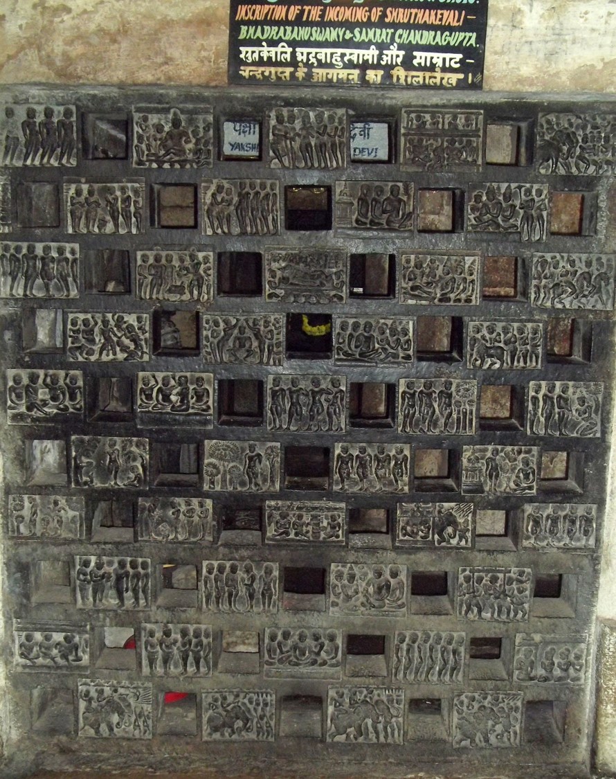
Shravanabelagola Inscription of Bhadrabahu and Chandragupta
Ready when you are
Start chatting with Chandragupta Maurya now.
20 messages free · No credit card · Available in 50+ languages.