


Secondary sourceDocument1881
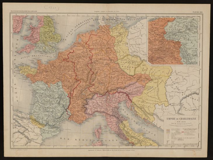
Chevallier map: Empire of Charlemagne in 814
Henry Chevallier · 1881
A coloured 1881 map by Henry Chevallier showing the Frankish empire at Charlemagne's death in 814.
A map reconstructing the empire at the time of Charlemagne's death, showing the realm he left behind.
About this source
What it is
This is a coloured historical map titled 'Empire de Charlemagne en 814', made in 1881 by H. Chevallier. It shows Europe, with the Frankish empire outlined in orange and red borders that cover France, Germany, Italy and nearby regions. An inset map of eastern Europe sits in the upper right corner, and a legend is at the lower right. The Digital Memory of Catalonia in Spain holds it.
Why it matters
The map is meant to show the empire at the moment of Charlemagne's death in 814. Its curator's note calls it useful for showing the extent of his realm. It is a 19th-century reconstruction, not a document from 814, so it reflects what Chevallier and his readers believed the empire looked like.
Look closer
- How does the legend help you read the colours, and what do the inset map and main map each show?
- Why might a mapmaker in 1881 choose bright colours to show borders that were drawn from earlier sources?
- Which lands at the edges of the empire are hard to show accurately, and what does the map leave uncertain?
This document is part of the curated material that grounds the AI version of Charlemagne on Humy.ai — when students ask about related events, the AI can quote it and cite it.
More Charlemagne sources
Meet the AI Charlemagne →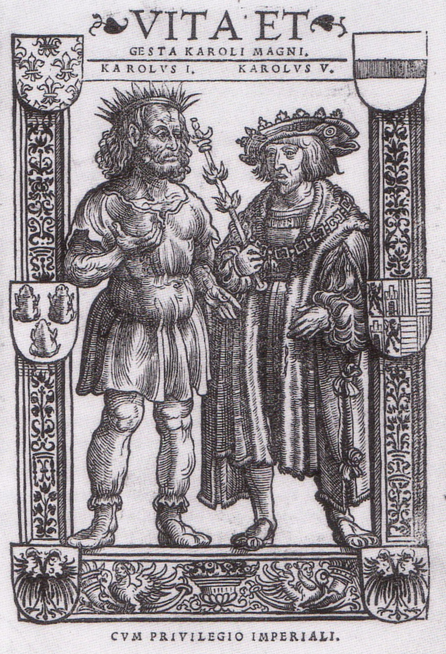 Book
Secondary source
Vita Karoli Magni
Einhard · c. 817-833
 Document
Primary source
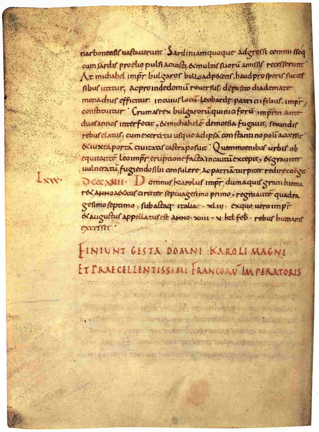
Royal Frankish Annals
741-829, this manuscript c. 900
Primary source
De litteris colendis
Charlemagne · late 780s-800s
 Document
Primary source
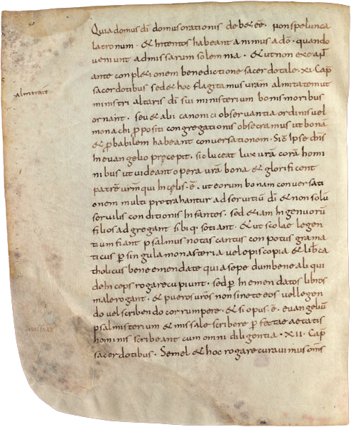
Admonitio generalis
Charlemagne · 23 March 789
 Document
Primary source
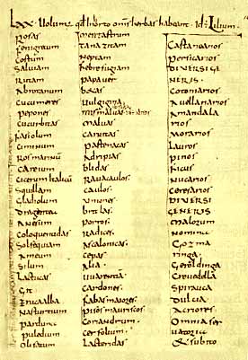
Capitulare de villis
c. 771-800
Ready when you are
Start chatting with Charlemagne now.
20 messages free · No credit card · Available in 50+ languages.