


Secondary sourceArtifact1524
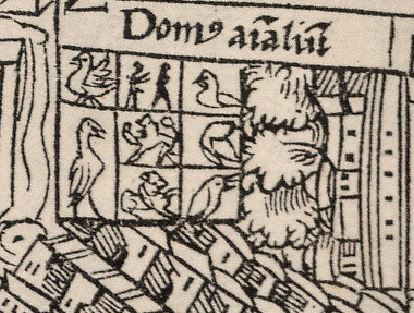
Domus animalium, Map of Tenochtitlan
Hernán Cortés / F. Peypus · 1524
A detail from a 1524 printed European map of Tenochtitlan showing Moctezuma II's menagerie, the first printed European image of his capital.
This early printed map depicts the animal house within Moctezuma II's palace complex in his capital, Tenochtitlan.
About this source
What it is
This is a detail from a woodcut map of Tenochtitlan, printed in Nuremberg in 1524 and based most likely on an original by the Spanish conquistador Hernán Cortés. The labelled section, "Domus animalium" (house of animals), shows the menagerie kept by Moctezuma II in his capital city.
Why it matters
Printed soon after the conquest alongside Cortés's letters, this map was one of the earliest European images Europeans saw of the Aztec capital and its ruler's palace complex. It reflects how the conquerors chose to present Moctezuma's wealth and court to a European audience, mixing observation with Spanish point of view.
Look closer
- Why might Cortés have wanted Europeans to see Moctezuma's menagerie?
- What does the careful grid of animal cells suggest about how the mapmaker understood (or misunderstood) the palace?
- How might this image differ from how the Aztecs themselves would have depicted the same place?
This artifact is part of the curated material that grounds the AI version of Montezuma II on Humy.ai — when students ask about related events, the AI can quote it and cite it.
More Montezuma II sources
Meet the AI Montezuma II →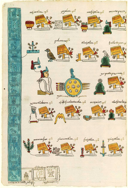 Document
Secondary source
Codex Mendoza, Folio 15v
Unknown author · 16th century
 Painting
Secondary source
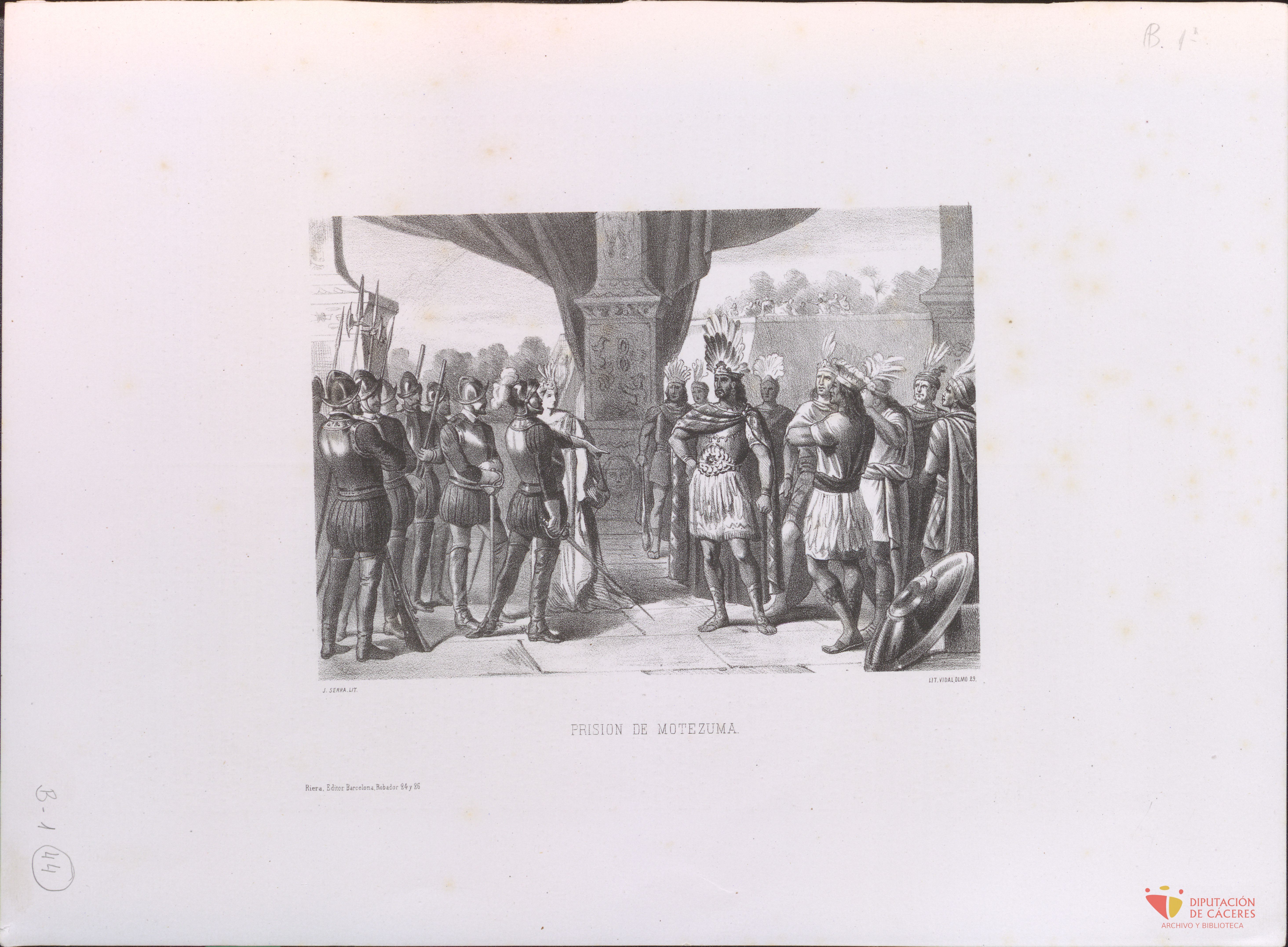
Prisión del emperador Moctezuma
Rafael del Castillo de la Cuesta · 1880
 Book
Secondary source
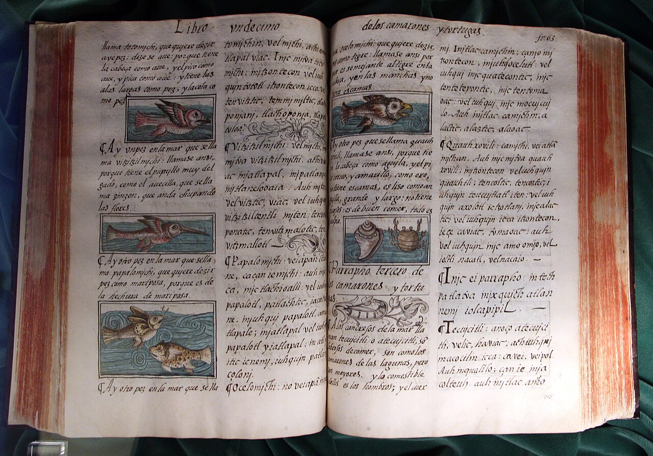
Florentine Codex
Bernardino de Sahagún with Nahua collaborators · 1569
 Painting
Secondary source
Hernán Cortés takes Moctezuma prisoner
Louis Auguste Turgis · 1895
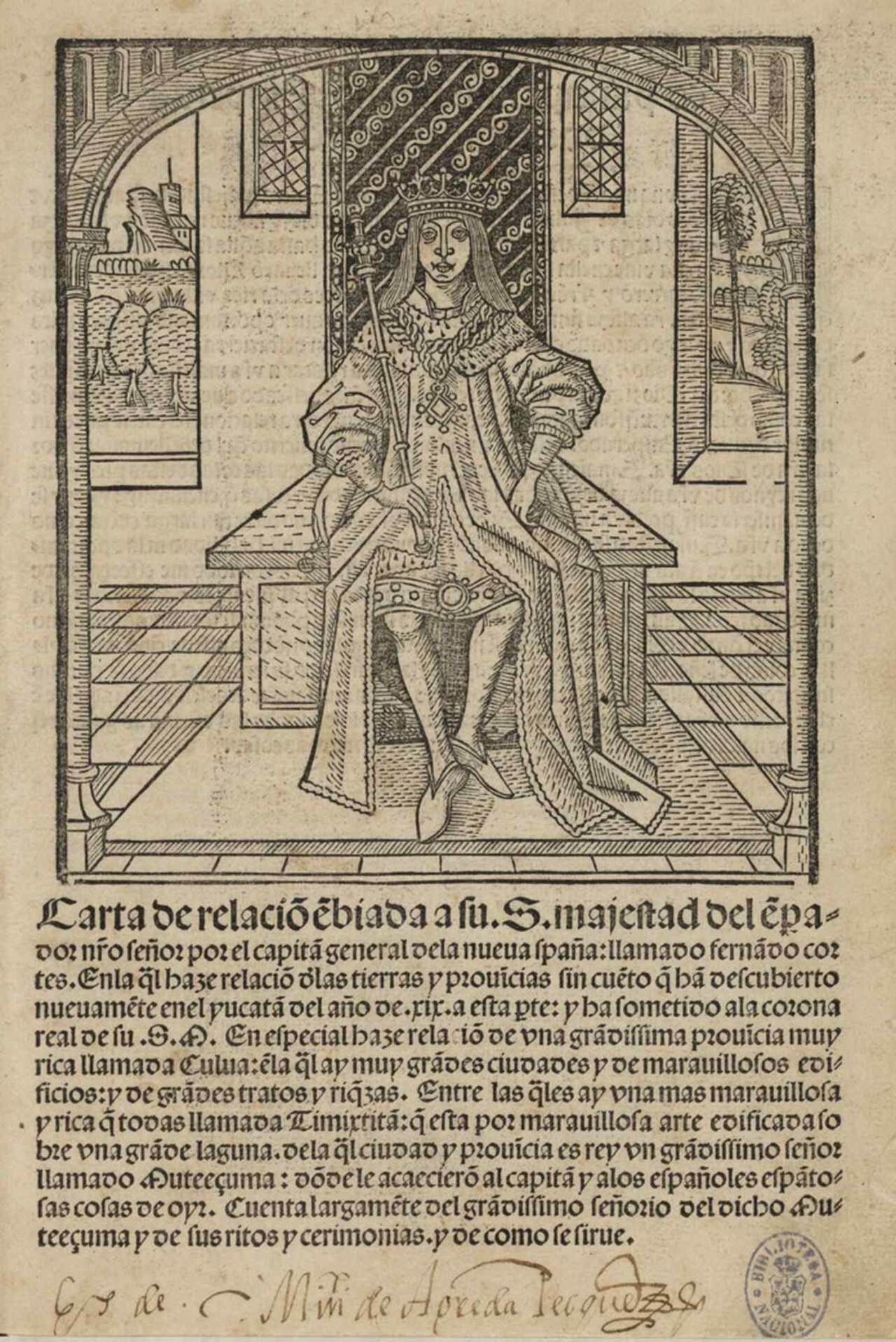 Letter
Primary source
Second Letter to Charles V
Hernán Cortés · 1520 (printed 1522)
Ready when you are
Start chatting with Montezuma II now.
20 messages free · No credit card · Available in 50+ languages.