


Secondary sourceDocument
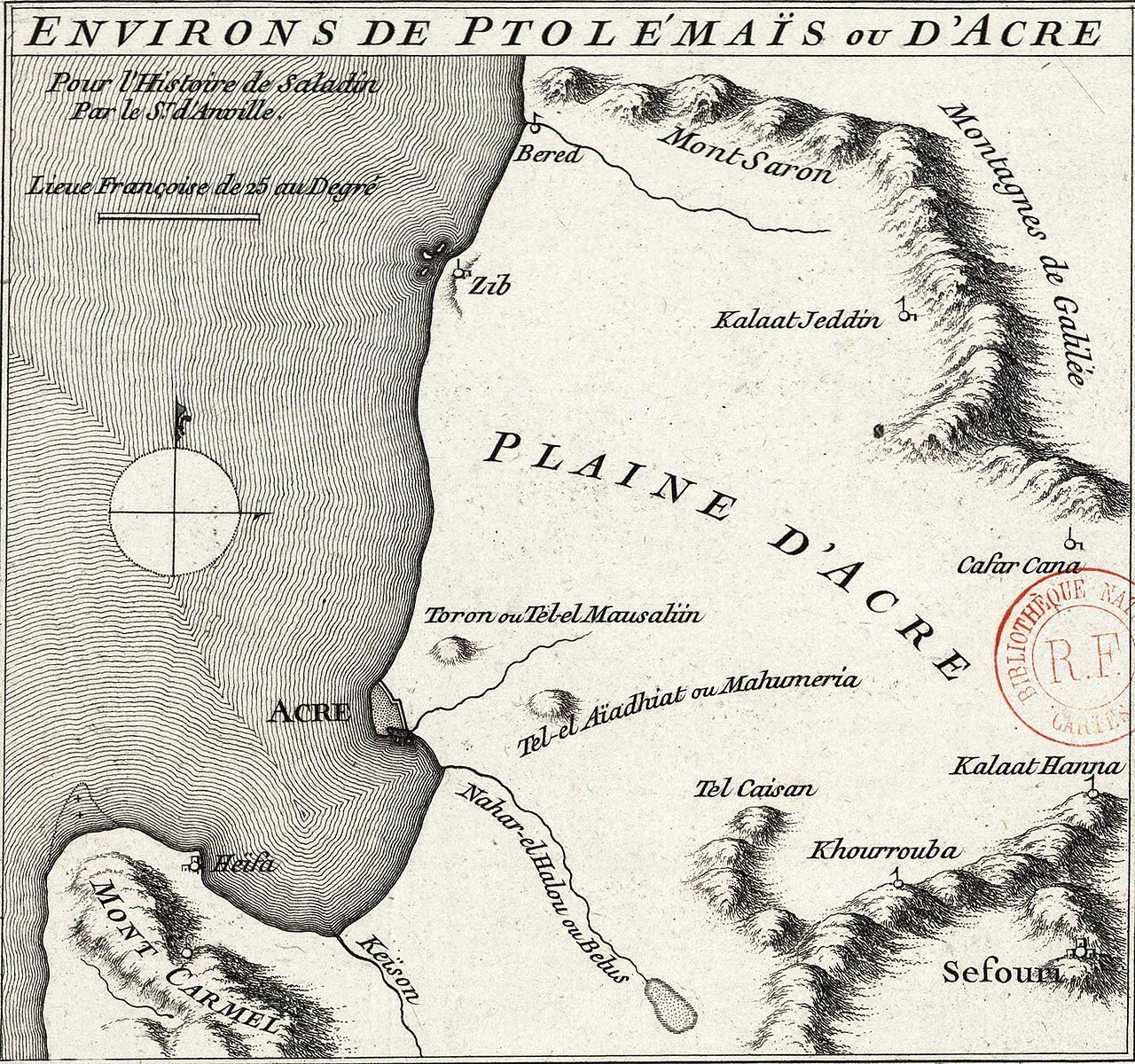
Environs de Ptolémaïs ou d'Acre pour l'Histoire de Saladin
Jean Baptiste Bourguignon d'Anville
An 18th-century engraved map of the Acre plain and surrounding land, made to accompany a European history book about Saladin.
This 18th-century map was made to accompany a European history of Saladin, showing his lasting fame long after his death.
About this source
What it is
This is an engraved map titled 'Environs de Ptolémaïs ou d'Acre', made by the French geographer Jean Baptiste Bourguignon d'Anville. It shows the plain of Acre, Mount Carmel, Mount Saron, the Galilee mountains, the coastline, and nearby towns, with a scale bar and compass rose. It was created to illustrate a history book about Saladin.
Why it matters
The map shows how, centuries after his death, European scholars were still fascinated by Saladin and the Crusades. It was not made by Saladin or his contemporaries, but by an 18th-century European cartographer trying to help readers picture the ground where Saladin's famous campaigns, including the siege of Acre, took place.
Look closer
- Why might a historian in the 1700s think readers needed a map to understand Saladin's story?
- What details on the map would have helped readers imagine the siege of Acre?
- What does this map leave out about the people who actually lived in this region?
This document is part of the curated material that grounds the AI version of Saladin on Humy.ai — when students ask about related events, the AI can quote it and cite it.
More Saladin sources
Meet the AI Saladin →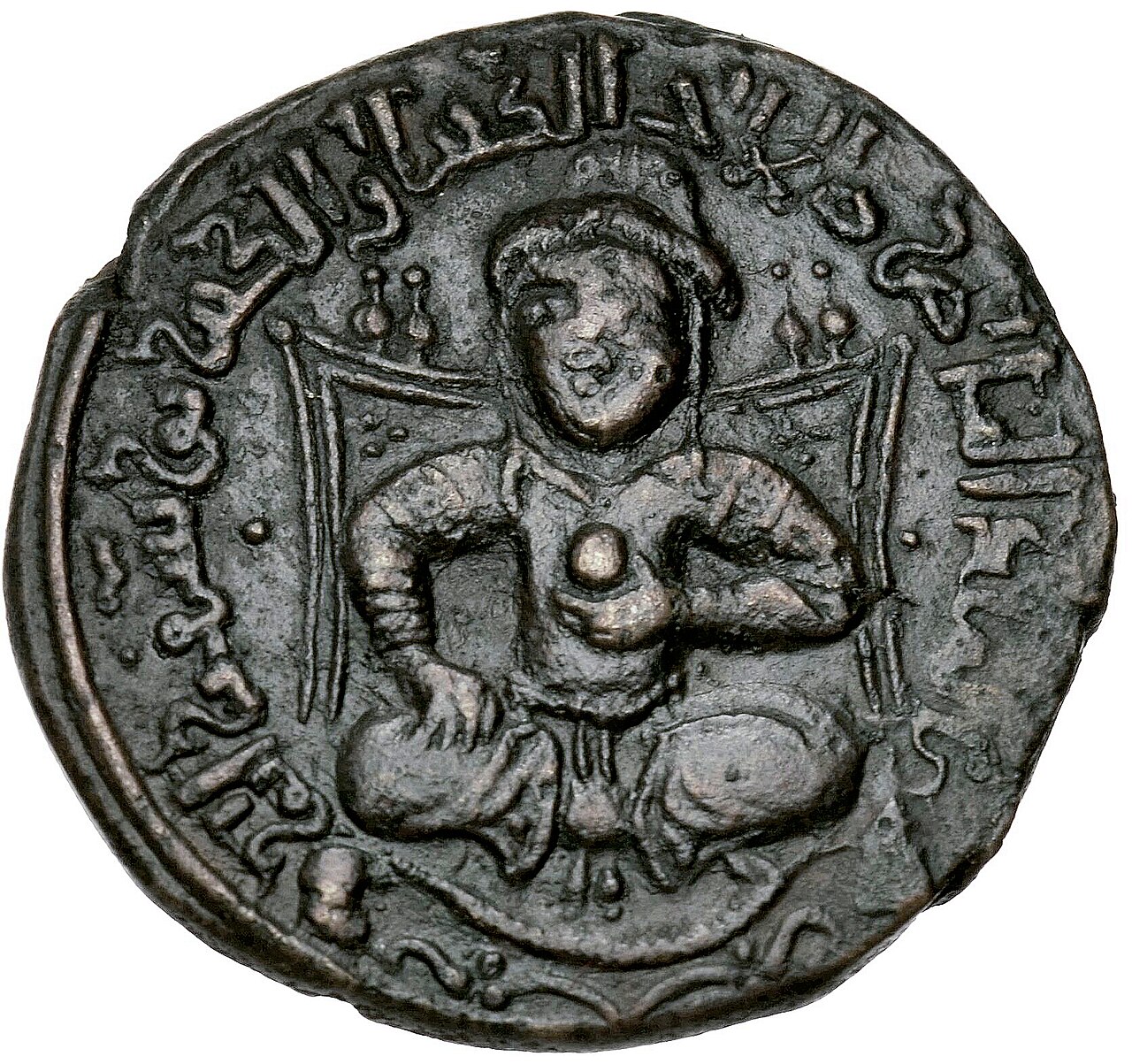 Artifact
Primary source
Dirham of Saladin
AH 586 (AD 1190-91)
 Painting
Secondary source
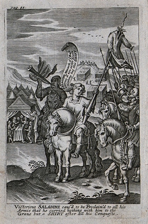
Saladin Proclaims He Will Take Only a Shirt to His Grave
John Payne · 1639
 Artifact
Primary source
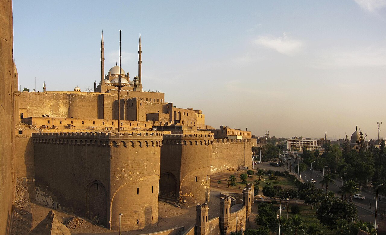
Cairo Citadel
Saladin · begun 1176
 Photograph
Secondary source
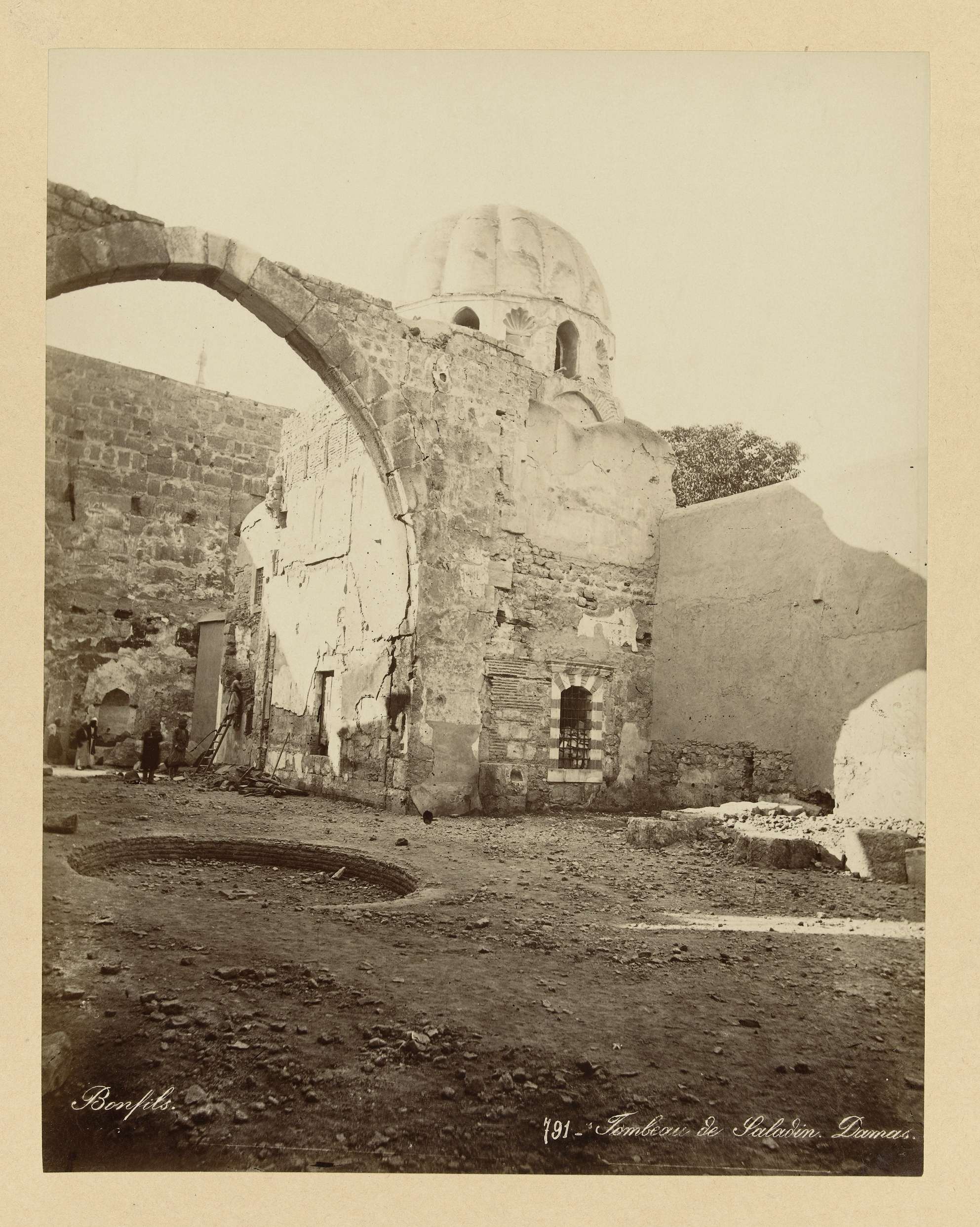
Tomb of Saladin, Damascus
 Painting
Secondary source
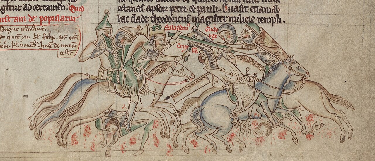
Saladin Seizing the True Cross from Guy of Lusignan
Matthew Paris
Ready when you are
Start chatting with Saladin now.
20 messages free · No credit card · Available in 50+ languages.