


Secondary sourcePhotograph14 June 2014
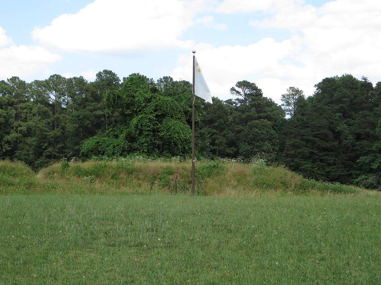
First Allied Siege Line at Yorktown Battlefield
Ken Lund · 14 June 2014
A 2014 photograph of the Allied siege line at Yorktown, the site of the 1781 battle linked to James Armistead Lafayette's espionage work.
Depicts the siege line at Yorktown, part of the campaign whose outcome Armistead's espionage helped bring about.
About this source
What it is
This is a modern photograph, taken in 2014, showing an earthen siege line built by American and French forces during the siege of Yorktown in 1781.
Why it matters
At Yorktown, combined American and French forces under George Washington and the Comte de Rochambeau defeated the British army of Lord Cornwallis, ending major fighting in the Revolutionary War. James Armistead had spied on British plans beforehand, feeding false information that helped the Americans. This photograph preserves the physical trace of the siege works today, though it shows no people from the historical event.
Look closer
- What does the earthen line tell you about how armies fought sieges in this period?
- Why do modern flags appear on the site, and what might that tell you about how the battlefield is remembered?
- What questions can a photograph of a place NOT answer about the people who fought there?
This photograph is part of the curated material that grounds the AI version of James Armistead Lafayette on Humy.ai — when students ask about related events, the AI can quote it and cite it.
More James Armistead Lafayette sources
Meet the AI James Armistead Lafayette →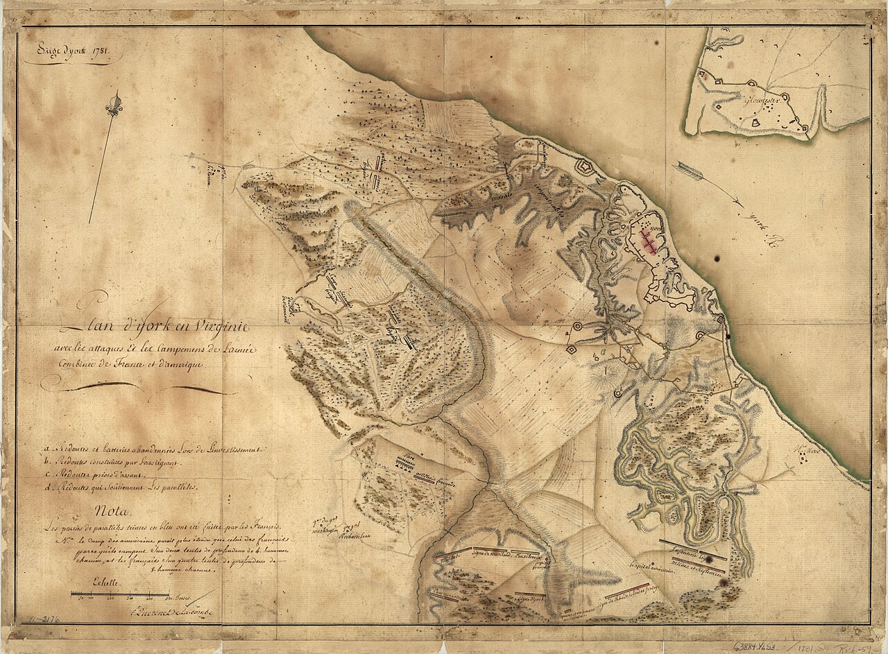 Document
Primary source
Siege of York, 1781: Plan of Franco-American Siege Works
Querenet De La Combe · 1781
 Document
Primary source
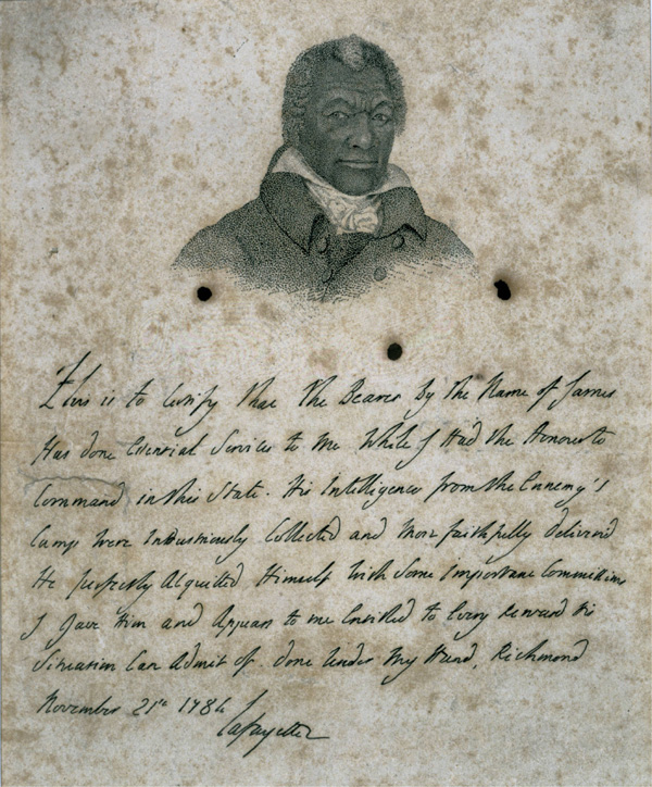
Certificate for James Armistead Lafayette
Marquis de Lafayette · 21 November 1784
 Document
Primary source
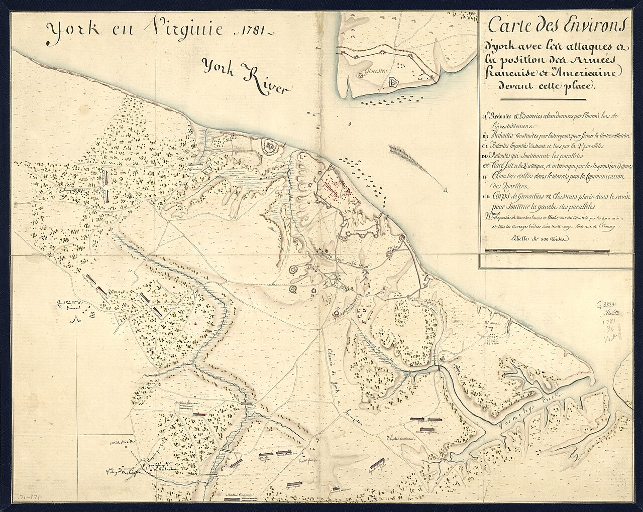
York en Virginie, 1781: Map of Franco-American Positions at York
1781
 Painting
Primary source
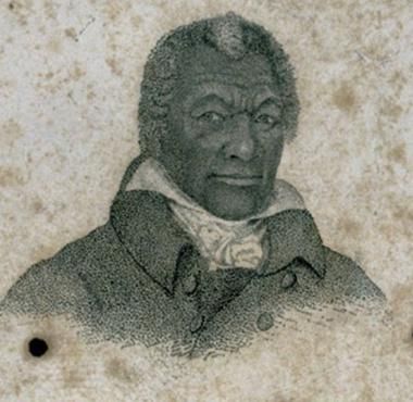
Portrait of James Armistead Lafayette
John B. Martin · c. 1824
 Document
Primary source
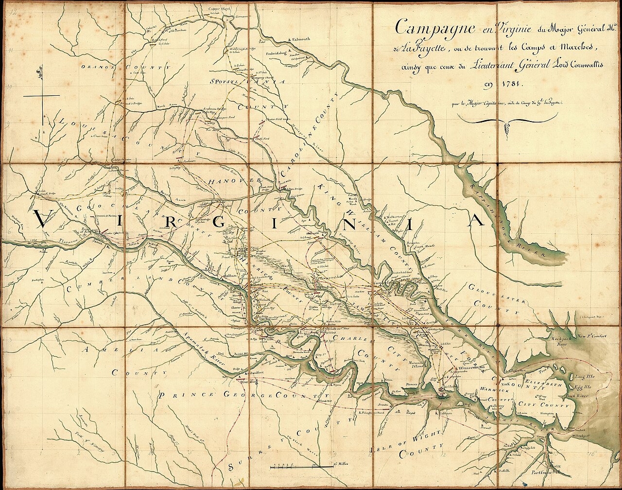
Campaign of the Marquis de Lafayette in Virginia, 1781
Michel Capitaine Du Chesnoy · 1781
Ready when you are
Start chatting with James Armistead Lafayette now.
20 messages free · No credit card · Available in 50+ languages.