


Primary sourceBookc. 150 AD
Geography
Ptolemy · c. 150 AD
Ptolemy's treatise on cartography, giving coordinates for thousands of places and methods for mapping the known world.
Ptolemy's own treatise on mapping the world, showing his attempt to make geography a mathematical discipline.
Free Humy account · No credit card · 53,307 sources to read
About this source
What it is
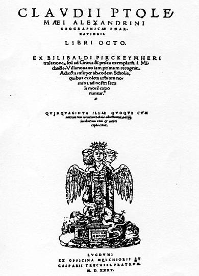
The Geography is a gazetteer, atlas and treatise on cartography compiled by Claudius Ptolemy in Alexandria around AD 150. It revised an earlier lost atlas by Marinus of Tyre, adding Roman and Persian data and new mapping principles. No ancient Greek manuscript survives; the earliest copies date from the 13th century, and the work reached Western Europe through a Latin translation made in the early 1400s.
Why it matters
Ptolemy's attempt to turn geography into a mathematical science, using coordinates and projections, shaped cartography for over a thousand years. It was highly influential in the Islamic world after its translation into Arabic, and later in Renaissance Europe, where printed editions like this 1535 Lyon version spread his ideas further.
Look closer
- Why might a geography book need mathematics as much as travellers' reports?
- What does the long chain of copying and translating, from Greek to Arabic to Latin, tell you about how knowledge travelled?
- What might be missing or wrong in a map based on secondhand accounts of distant lands?
This book is part of the curated material that grounds the AI version of Ptolemy on Humy.ai — when students ask about related events, the AI can quote it and cite it.
More Ptolemy sources
Browse all 99 →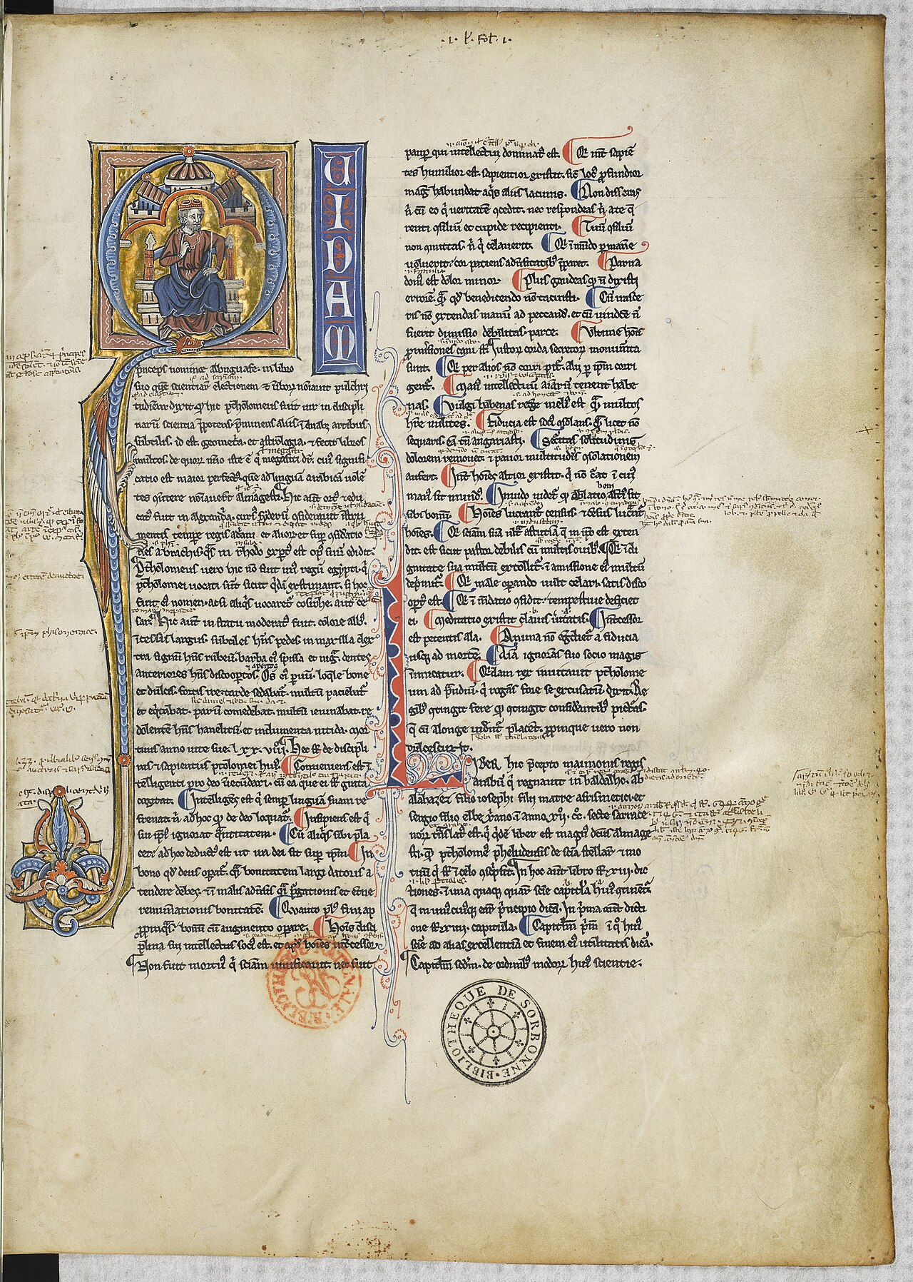 Book
Secondary source
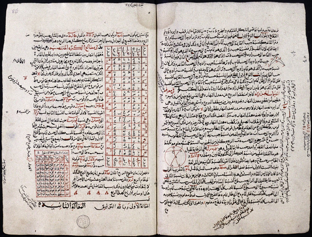
Almagest
Ptolemy · c. 148-150
 Artifact
Secondary source
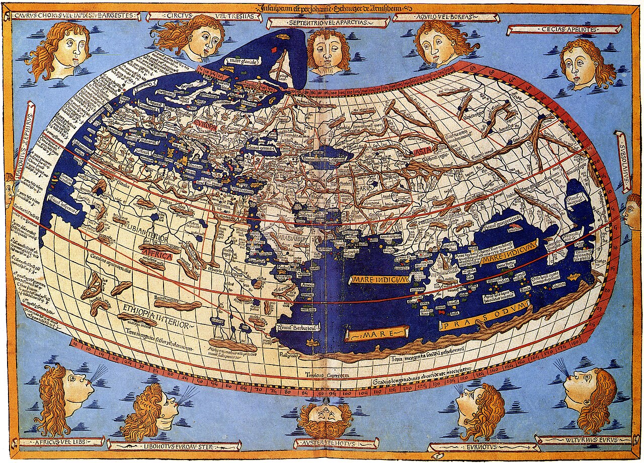
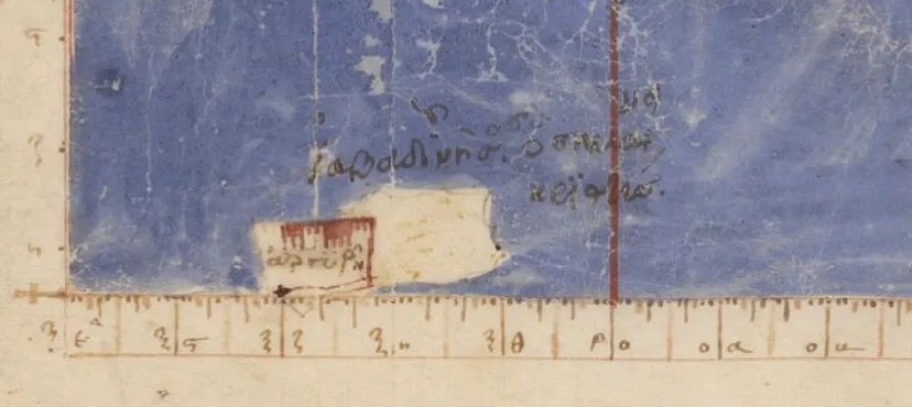
Ptolemy's World Map
Ptolemy · c. 150 AD (reconstructed after 1295)
 Book
Primary source
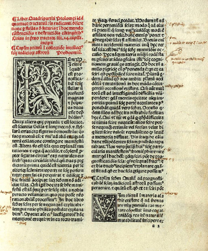
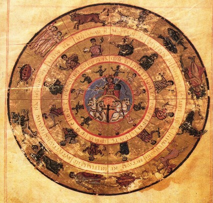
Tetrabiblos
Ptolemy · c. 2nd century AD
 Book
Primary source
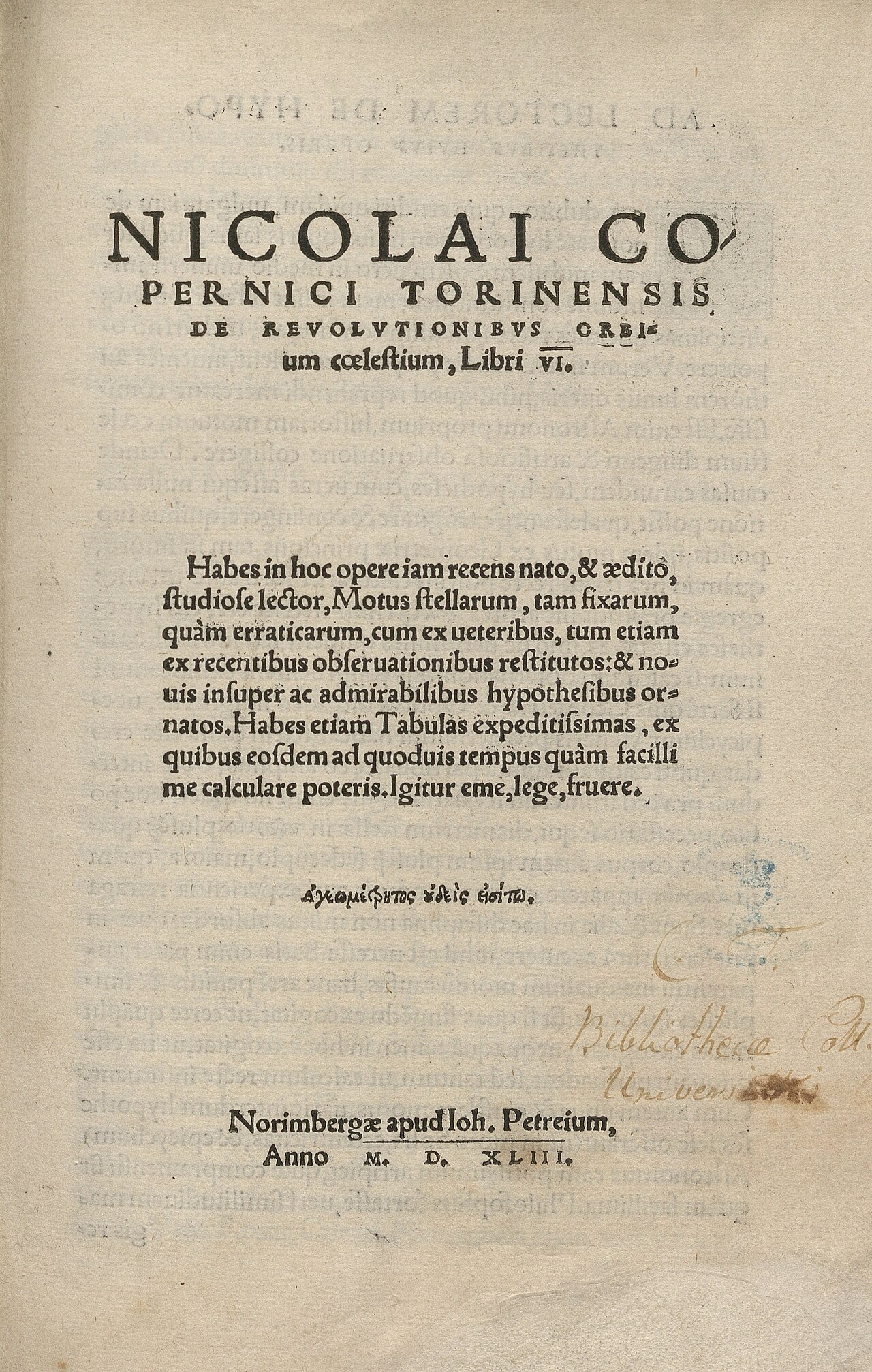
De revolutionibus orbium coelestium
Nicolaus Copernicus · 1543
Free account
Browse every Ptolemy source
Sign up free →
Ready when you are
Start chatting with Ptolemy now.
20 messages free · No credit card · Available in 50+ languages.