


Secondary sourceDocumentc. 1300
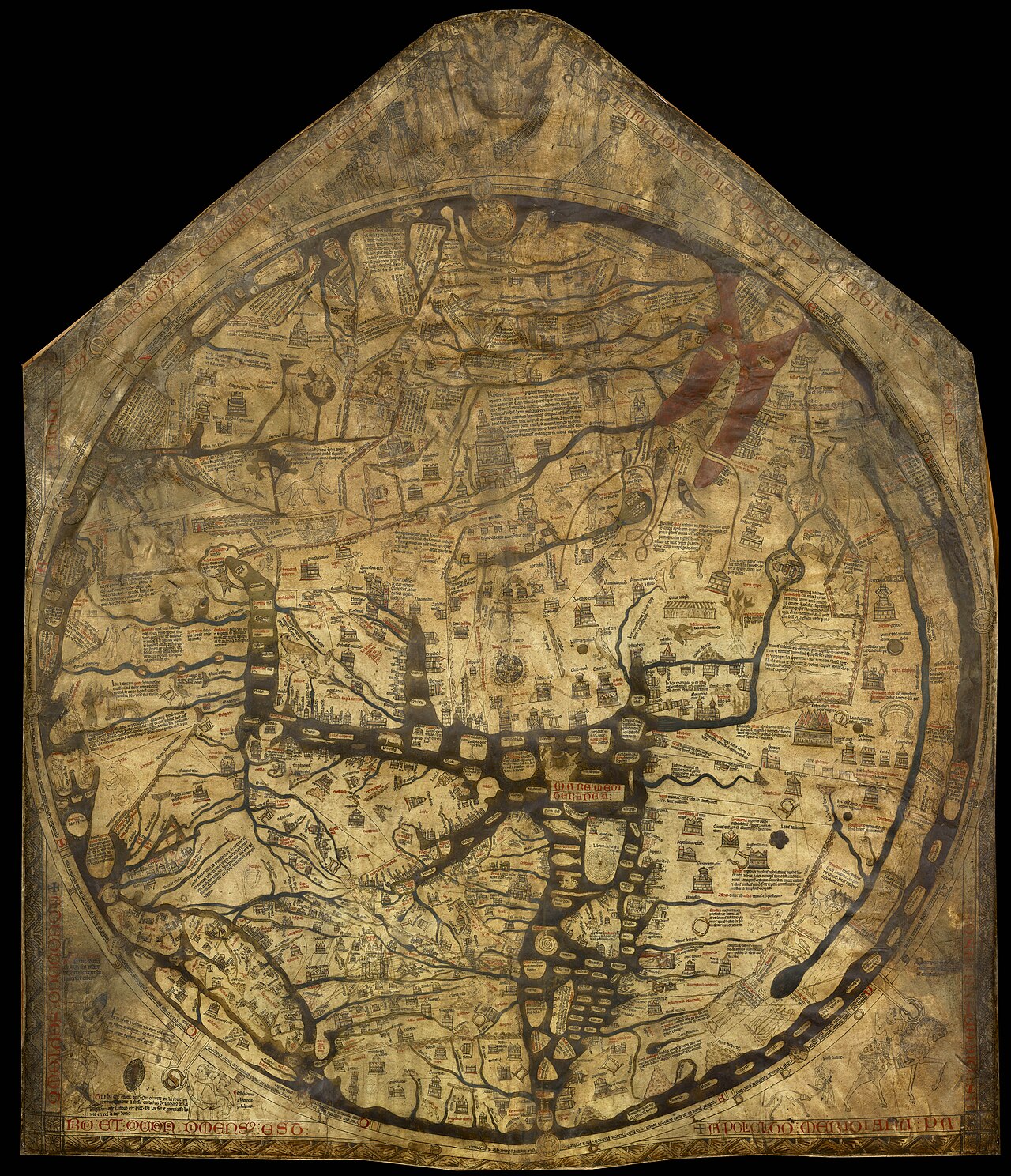
Hereford Mappa Mundi
c. 1300
A huge medieval world map made around the time Polo dictated his book, showing the legendary, Bible-centred view of Asia his travels would challenge.
This map shows the imagined, legendary Asia that existed in Europe before Polo's firsthand account became known.
About this source
What it is
The Hereford Mappa Mundi is the largest medieval world map known to survive. Made around 1300 and now kept at Hereford Cathedral in England, it is drawn on vellum and shows heaven, hell and the path to salvation rather than an accurate geography. It drew on the Bible, ancient writers, bestiaries and legends of monstrous races.
Why it matters
This map shows how Europeans imagined the world just as Marco Polo's own account of his travels in Asia was taking shape. It reveals a religious, symbolic worldview full of myths and moral lessons rather than real distances or borders. Polo's descriptions of real places like Cathay and Cipangu would later challenge and slowly change this kind of imagined geography.
Look closer
- What kinds of knowledge does the map rely on, and what is missing?
- How might a map like this have shaped what Europeans expected to find in Asia?
- Why do you think the mapmaker mixed religious images with geography?
This document is part of the curated material that grounds the AI version of Marco Polo on Humy.ai — when students ask about related events, the AI can quote it and cite it.
More Marco Polo sources
Meet the AI Marco Polo →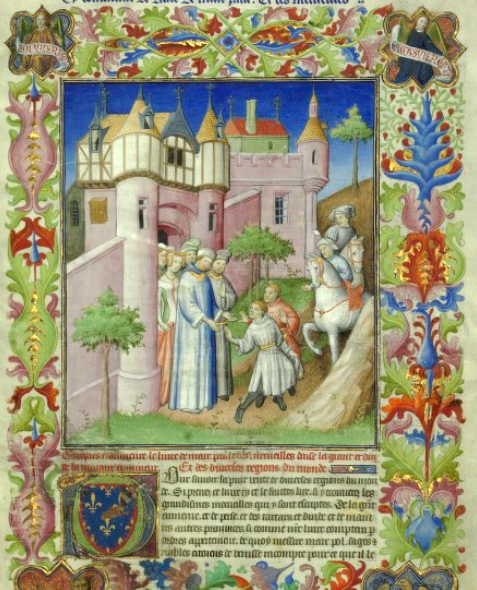 Book
Secondary source
The Travels of Marco Polo
Rustichello da Pisa · 1298
 Document
Primary source
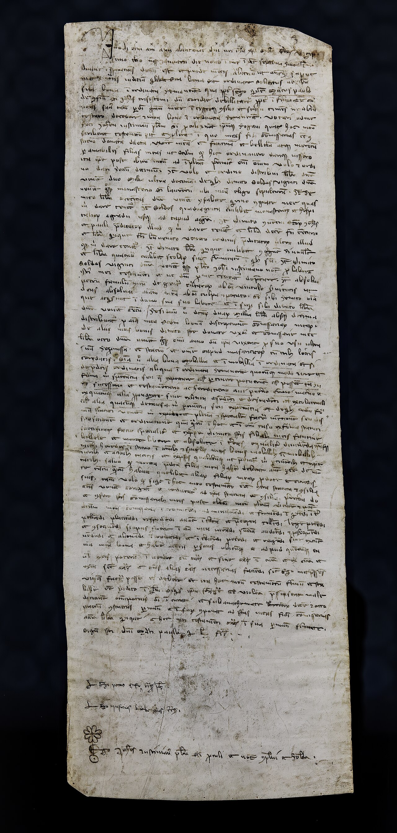
Marco Polo's Will
Marco Polo · 1324
 Painting
Secondary source
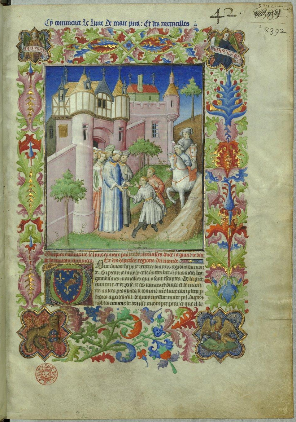
Livre des merveilles
Mazarine Master · c. 1410-1412
 Painting
Secondary source
Caravane Marco Polo
Abraham Cresques · c. 1375
 Artifact
Secondary source
Fra Mauro map
Fra Mauro · c. 1450-1459
Ready when you are
Start chatting with Marco Polo now.
20 messages free · No credit card · Available in 50+ languages.