


Secondary sourceDocument1354
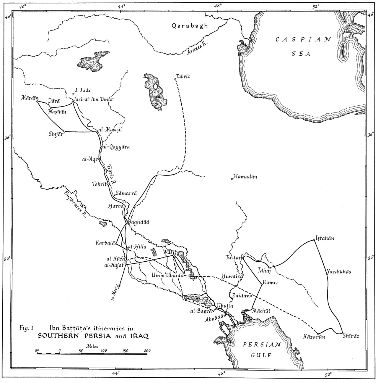
Ibn Battuta's Itineraries in Southern Persia and Iraq
1354
A modern scholarly map tracing the routes Ibn Battuta took through southern Persia and Iraq.
This map reconstructs the route Ibn Battuta took through southern Persia and Iraq.
About this source
What it is
This is a black-and-white map titled 'Ibn Battuta's Itineraries in Southern Persia and Iraq', showing solid and dashed route lines connecting cities such as Mardin, Nasibin, Mosul, Baghdad, Basra, Isfahan, Shiraz and Kazarun, with rivers and seas labeled.
Why it matters
This map is a modern scholarly reconstruction of Ibn Battuta's travels through southern Persia and Iraq, based on his own written account. It helps show the geographic scope of his journey through this region, though it was created long after his lifetime.
Look closer
- What do the solid and dashed lines on the map suggest about different kinds of evidence for the route?
- Why might a scholar reconstruct a route centuries after it was traveled?
- What does this map not tell us about the journey itself?
This document is part of the curated material that grounds the AI version of Ibn Battuta on Humy.ai — when students ask about related events, the AI can quote it and cite it.
More Ibn Battuta sources
Meet the AI Ibn Battuta →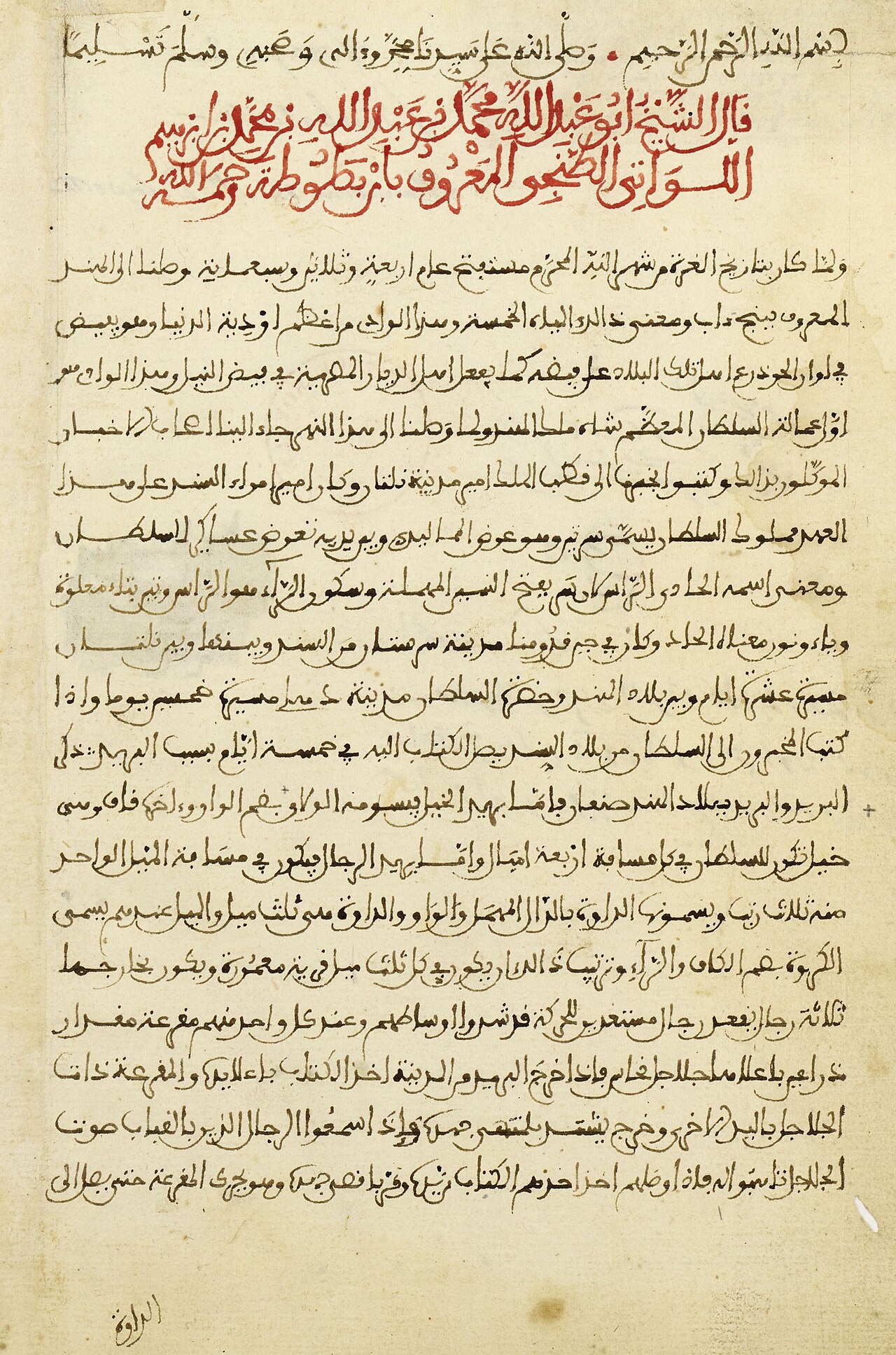 Book
Primary source
The Rihla
Ibn Battuta · 1354-1356
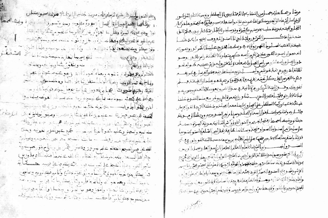 Book
Primary source
Manuscript of the Rihla by Ibn Juzayy
Ibn Juzayy · 14th century
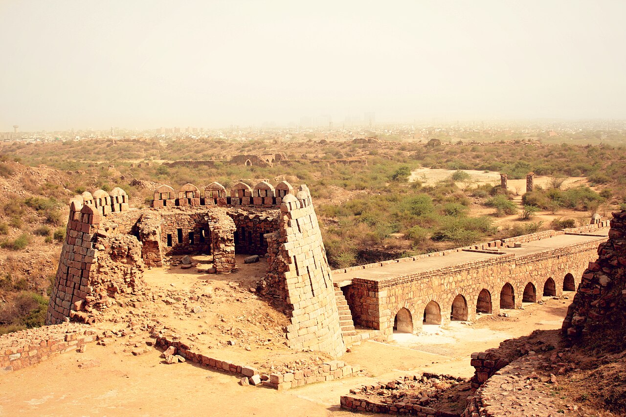 Artifact
Secondary source
Tughlaqabad Fort
Ghiyath al-Din Tughluq · 1321
 Book
Secondary source
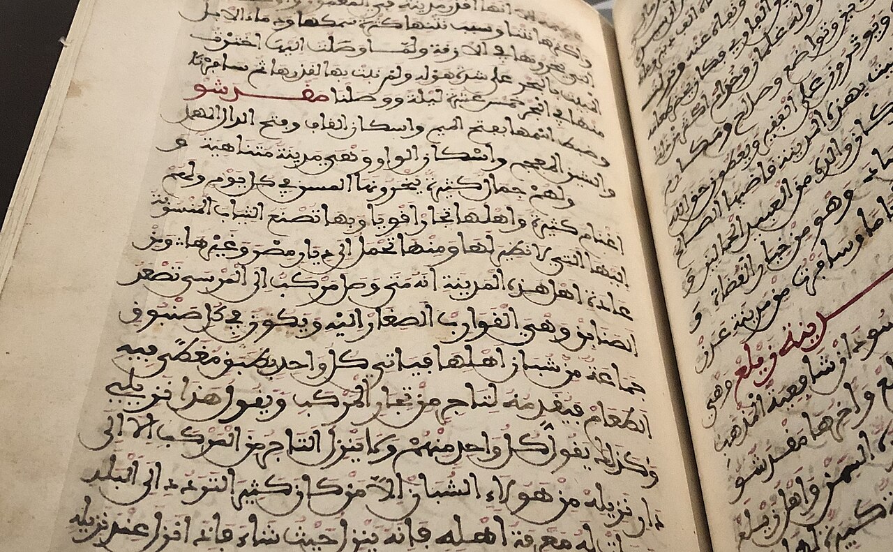
Manuscript copy of the Rihla (1484)
Ibn Juzayy · 1484
 Painting
Primary source
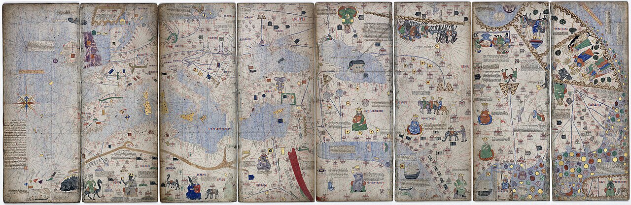
Catalan Atlas
Cresques Abraham · c. 1375
Ready when you are
Start chatting with Ibn Battuta now.
20 messages free · No credit card · Available in 50+ languages.