


Secondary sourceDocument1354
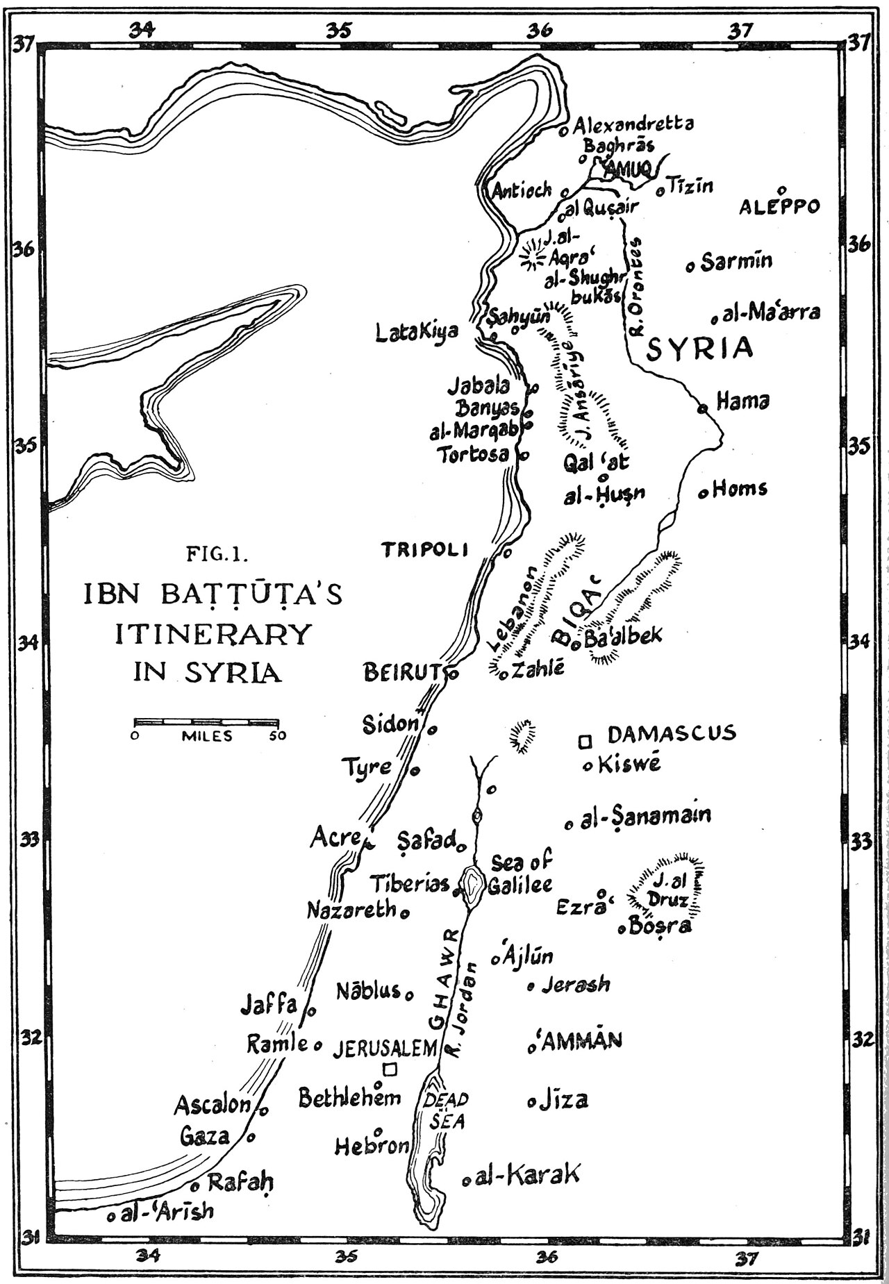
Ibn Battuta's Itinerary in Syria
1354
A modern map plotting the route Ibn Battuta took across Syria during his travels.
This map reconstructs the path Ibn Battuta traveled through Syria as described in his own account.
About this source
What it is
This is a modern map, labeled 'Fig. 1', showing Ibn Battuta's route through Syria. It marks towns including Beirut, Damascus, Jerusalem, Aleppo, Hama, Homs and Tripoli, along with the Dead Sea, coastline and mountain ranges.
Why it matters
The map was created by later scholars studying Ibn Battuta's written travel account to reconstruct exactly where he went. It shows how historians turn a traveler's descriptions into a visual guide, helping readers understand the geography of the medieval Islamic world he explored.
Look closer
- Why would mapmakers need scale bars and latitude/longitude lines for a historical route?
- What might explain why certain cities, like Damascus and Jerusalem, are marked rather than smaller villages?
- How reliable do you think a route map can be when based only on a traveler's written memory?
This document is part of the curated material that grounds the AI version of Ibn Battuta on Humy.ai — when students ask about related events, the AI can quote it and cite it.
More Ibn Battuta sources
Meet the AI Ibn Battuta →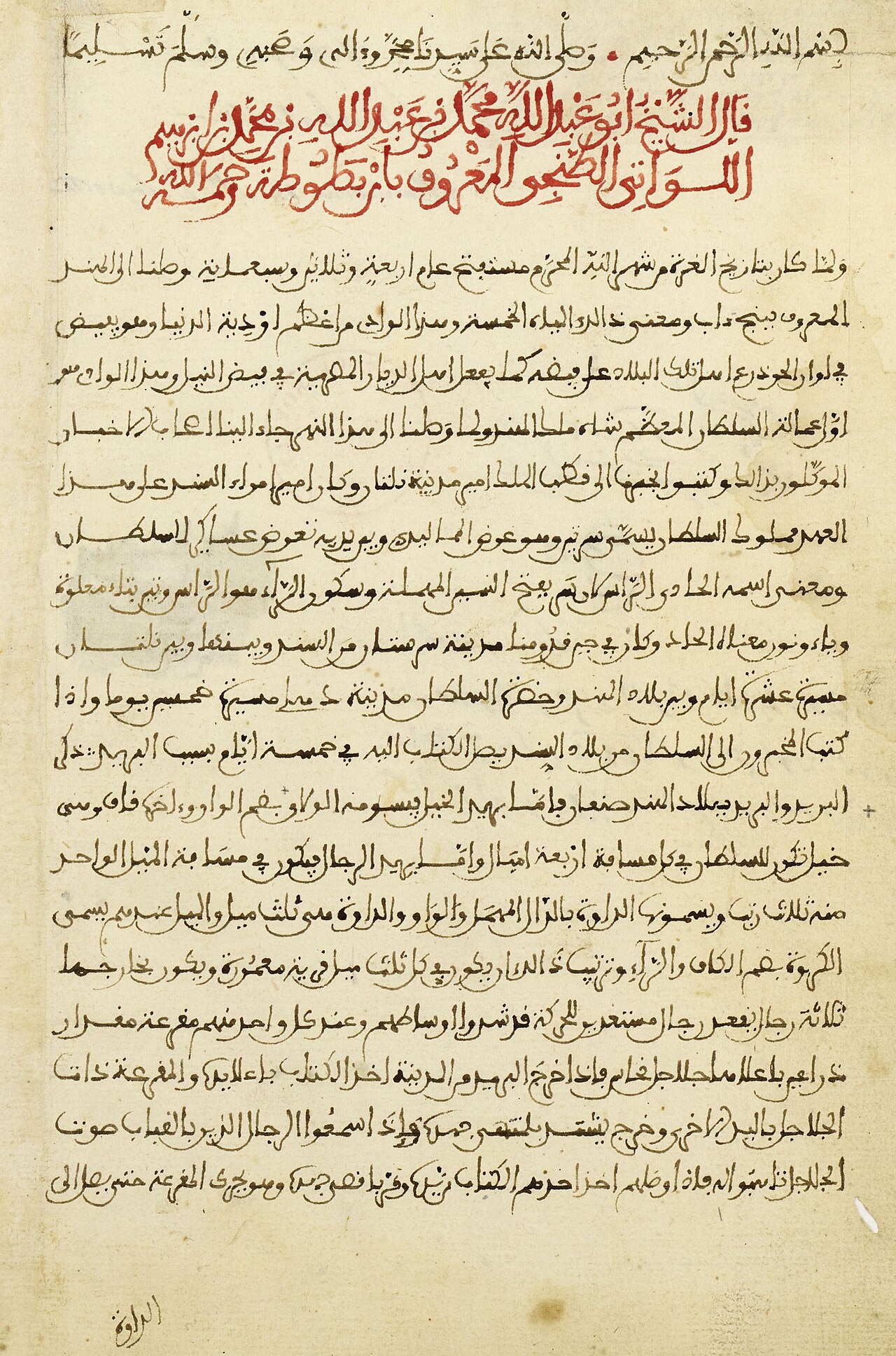 Book
Primary source
The Rihla
Ibn Battuta · 1354-1356
 Book
Primary source
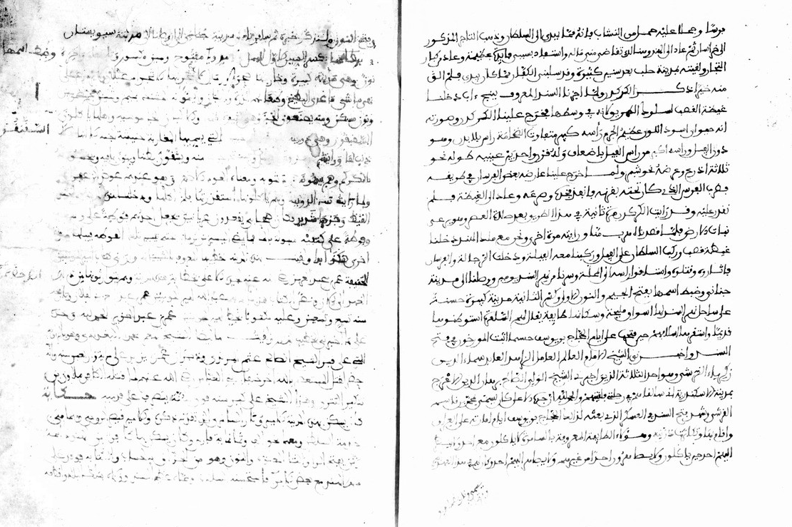
Manuscript of the Rihla by Ibn Juzayy
Ibn Juzayy · 14th century
 Artifact
Secondary source
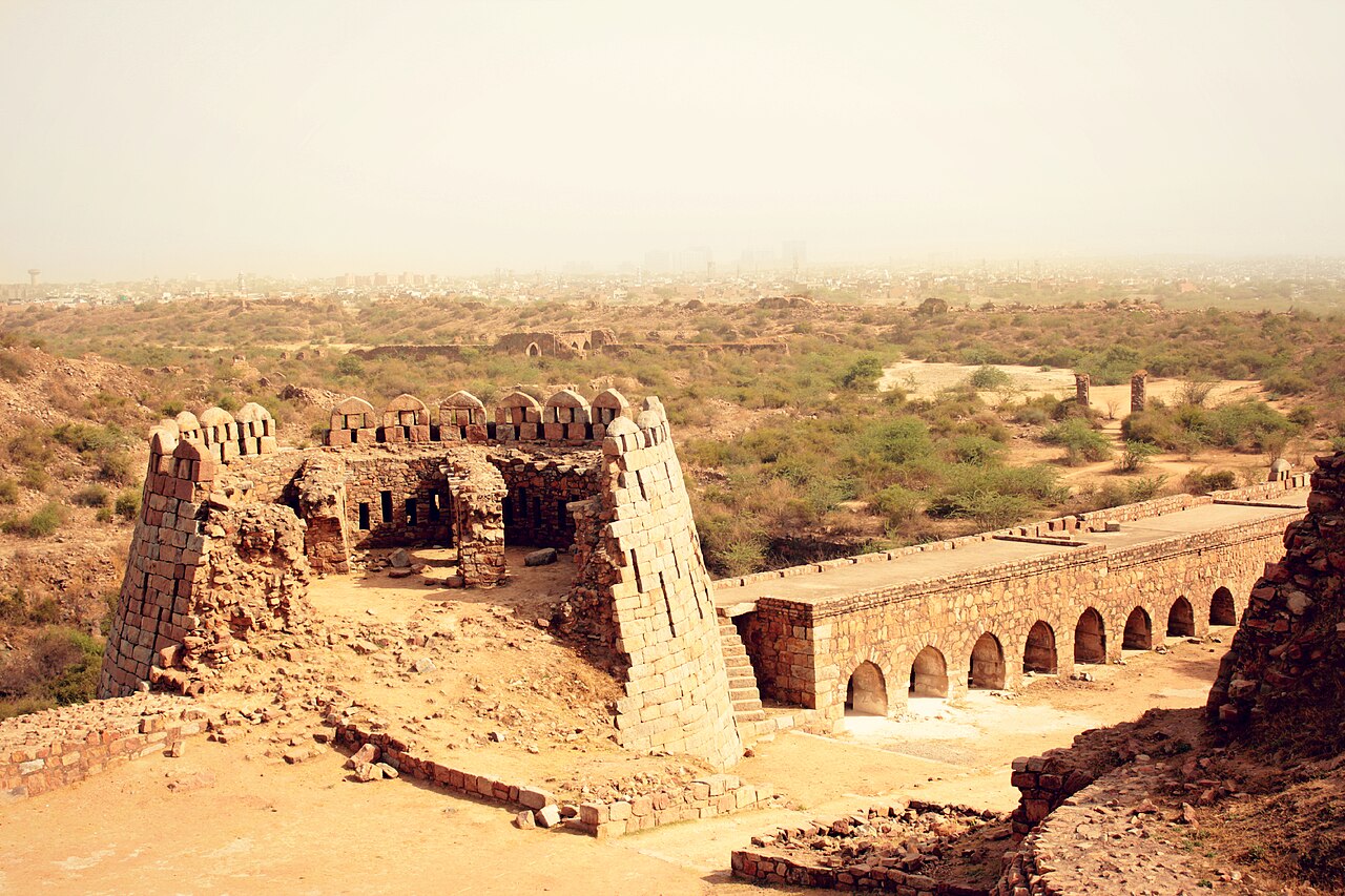
Tughlaqabad Fort
Ghiyath al-Din Tughluq · 1321
 Book
Secondary source
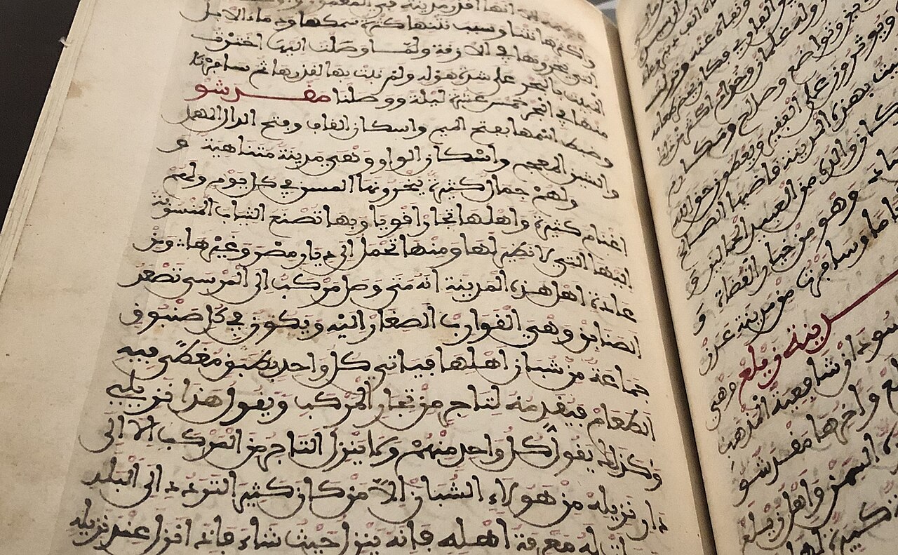
Manuscript copy of the Rihla (1484)
Ibn Juzayy · 1484
 Painting
Primary source
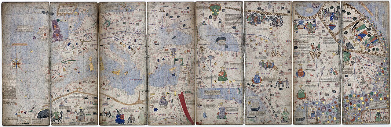
Catalan Atlas
Cresques Abraham · c. 1375
Ready when you are
Start chatting with Ibn Battuta now.
20 messages free · No credit card · Available in 50+ languages.