


Secondary sourceDocument1886 (reproducing a 1508 map)
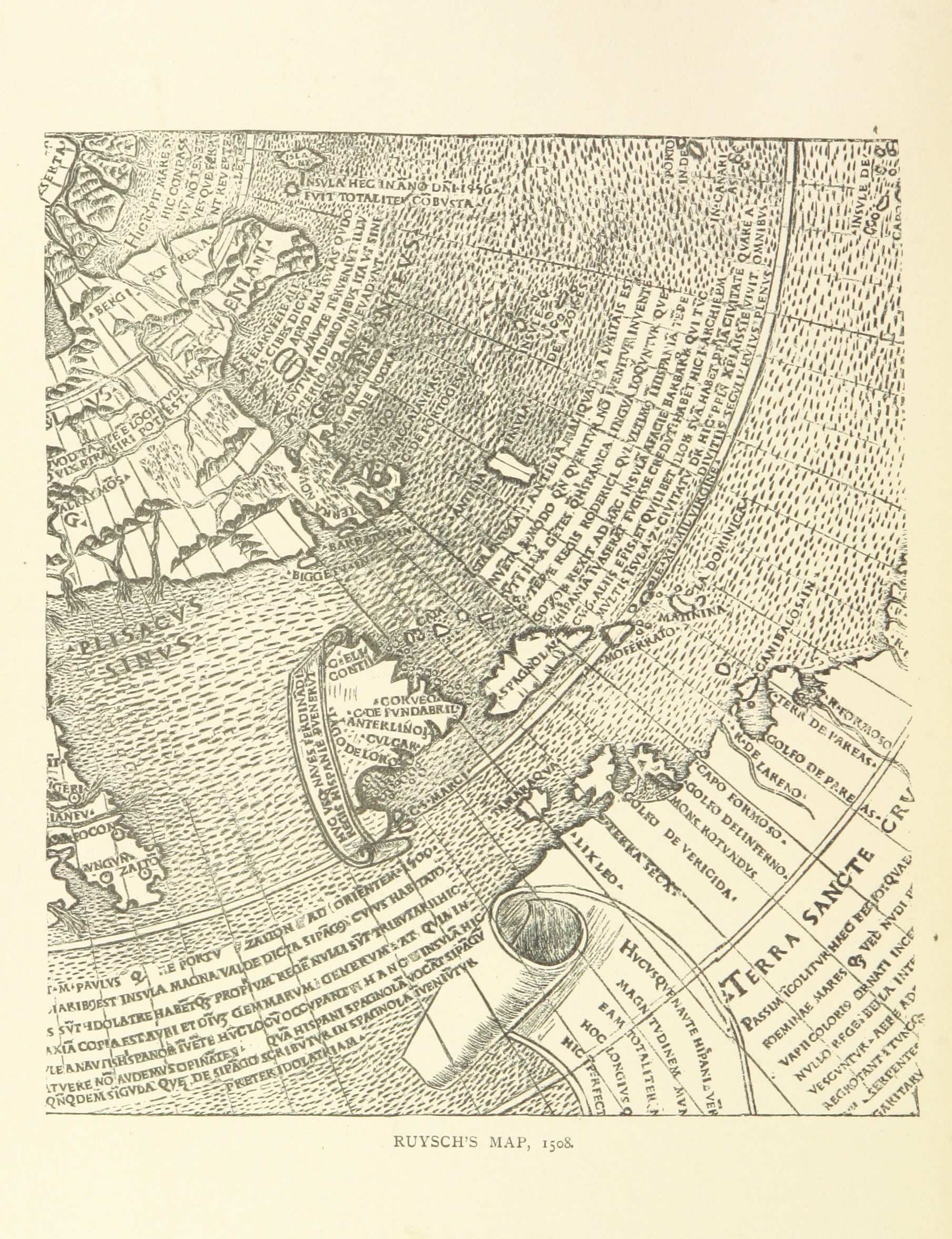
Map from John and Sebastian Cabot: A Study
1886 (reproducing a 1508 map)
An engraved 1508 map reproduced in an 1886 study of John and Sebastian Cabot, showing the Atlantic coastlines known at the time.
This map was reproduced in a later study examining the voyages of John Cabot and his son Sebastian.
About this source
What it is
This engraved map, known as Ruysch's Map of 1508, was reproduced in an 1886 book studying the voyages of John and Sebastian Cabot. It shows the Atlantic Ocean with islands, coastlines, Latin place names, and a decorated border, including a label reading Terra Sancte.
Why it matters
The map illustrates how European geographers pictured the Atlantic world shortly after Cabot's voyages, including newly reported lands. Its inclusion in a later study of the Cabots shows how historians used early maps as evidence to trace what the explorers may have found.
Look closer
- What do the Latin place names and decorative border suggest about who made this map and for whom?
- How might this map reflect uncertain or incomplete knowledge of the Atlantic coastlines in 1508?
- Why would a later study of the Cabots include an old map like this as evidence?
This document is part of the curated material that grounds the AI version of John Cabot (Giovanni Caboto) on Humy.ai — when students ask about related events, the AI can quote it and cite it.
More John Cabot (Giovanni Caboto) sources
Meet the AI John Cabot (Giovanni Caboto) →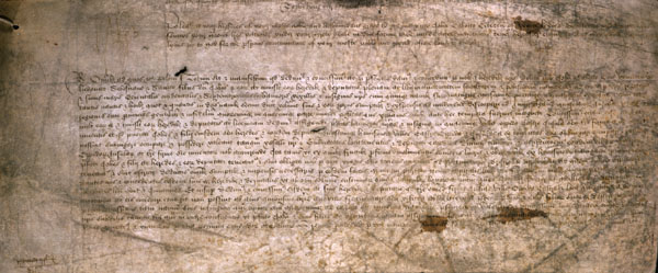 Document
Primary source
Letters Patent to John Cabot
Henry VII of England · 5 March 1496
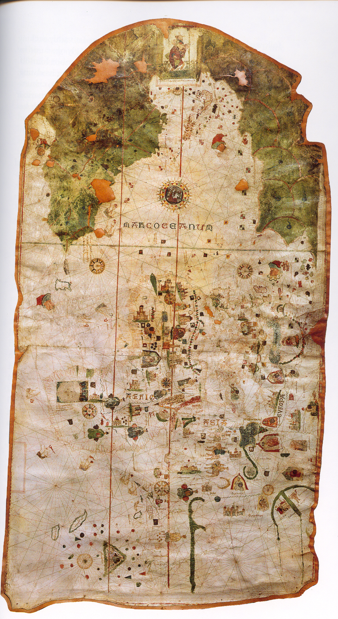 Document
Primary source
Map of Juan de la Cosa
Juan de la Cosa · 1500
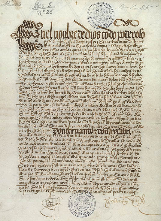 Document
Primary source
Treaty of Tordesillas
7 June 1494
 Artifact
Secondary source
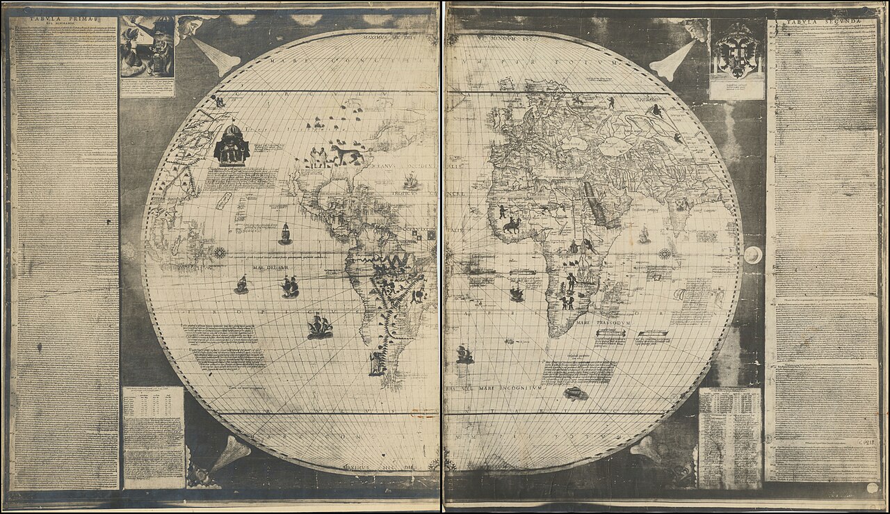
Sebastian Cabot's World Map of 1544
Sebastian Cabot · 1544
 Painting
Secondary source
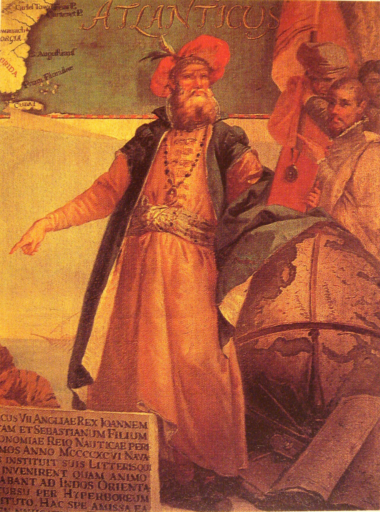
Portrait of John Cabot
Ready when you are
Start chatting with John Cabot (Giovanni Caboto) now.
20 messages free · No credit card · Available in 50+ languages.