


Secondary sourceDocument1879
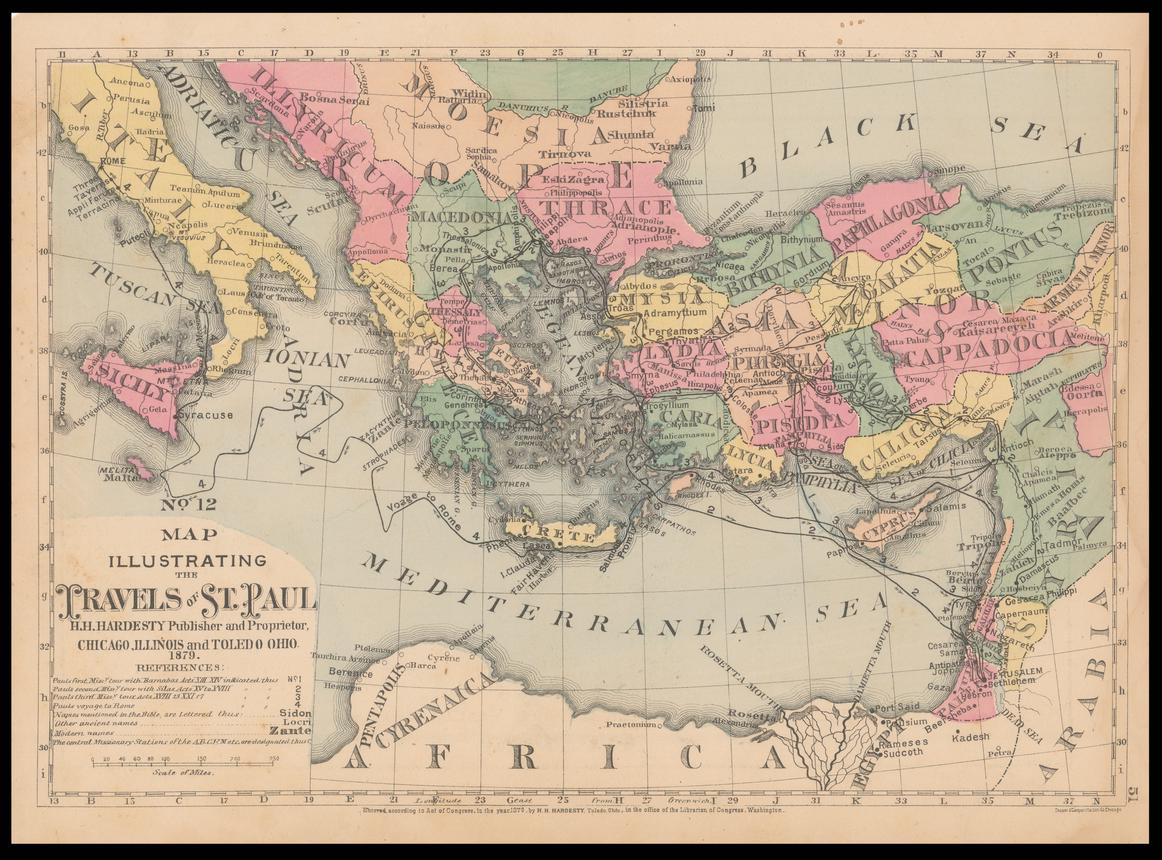
Map Illustrating the Travels of St. Paul
H.H. Hardesty · 1879
An 1879 map tracing the missionary journeys attributed to Paul across the Mediterranean world.
This later map traces the missionary journeys attributed to Paul, helping students visualize his travels.
About this source
What it is
This is a colored map made in 1879 by H.H. Hardesty, titled Map Illustrating the Travels of St. Paul. It shows the Mediterranean, Asia Minor, Greece, Italy, Egypt and the Holy Land, with routes and numbered journeys marked. It is held by the National Library of Israel.
Why it matters
Centuries after Paul's lifetime, scholars and publishers created maps like this to help readers follow the routes of his travels described in historical and religious texts. It shows how later generations tried to make sense of and visualize Paul's journeys across a wide region.
Look closer
- Why might a mapmaker in 1879 want to create a map specifically about Paul's travels?
- What choices has the mapmaker made about what to include and label?
- How reliable do you think a map made so long after the events could be?
This document is part of the curated material that grounds the AI version of Saint Paul on Humy.ai — when students ask about related events, the AI can quote it and cite it.
More Saint Paul sources
Meet the AI Saint Paul →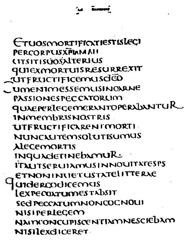 Letter
Primary source
Epistle to the Romans
Paul the Apostle · c. AD 57
 Painting
Secondary source
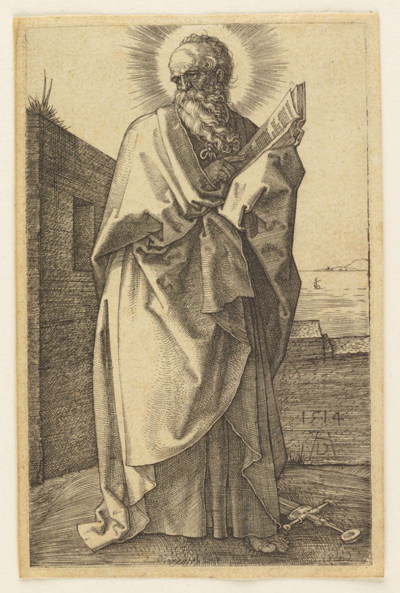
Saint Paul
Albrecht Dürer · 1514
 Letter
Secondary source
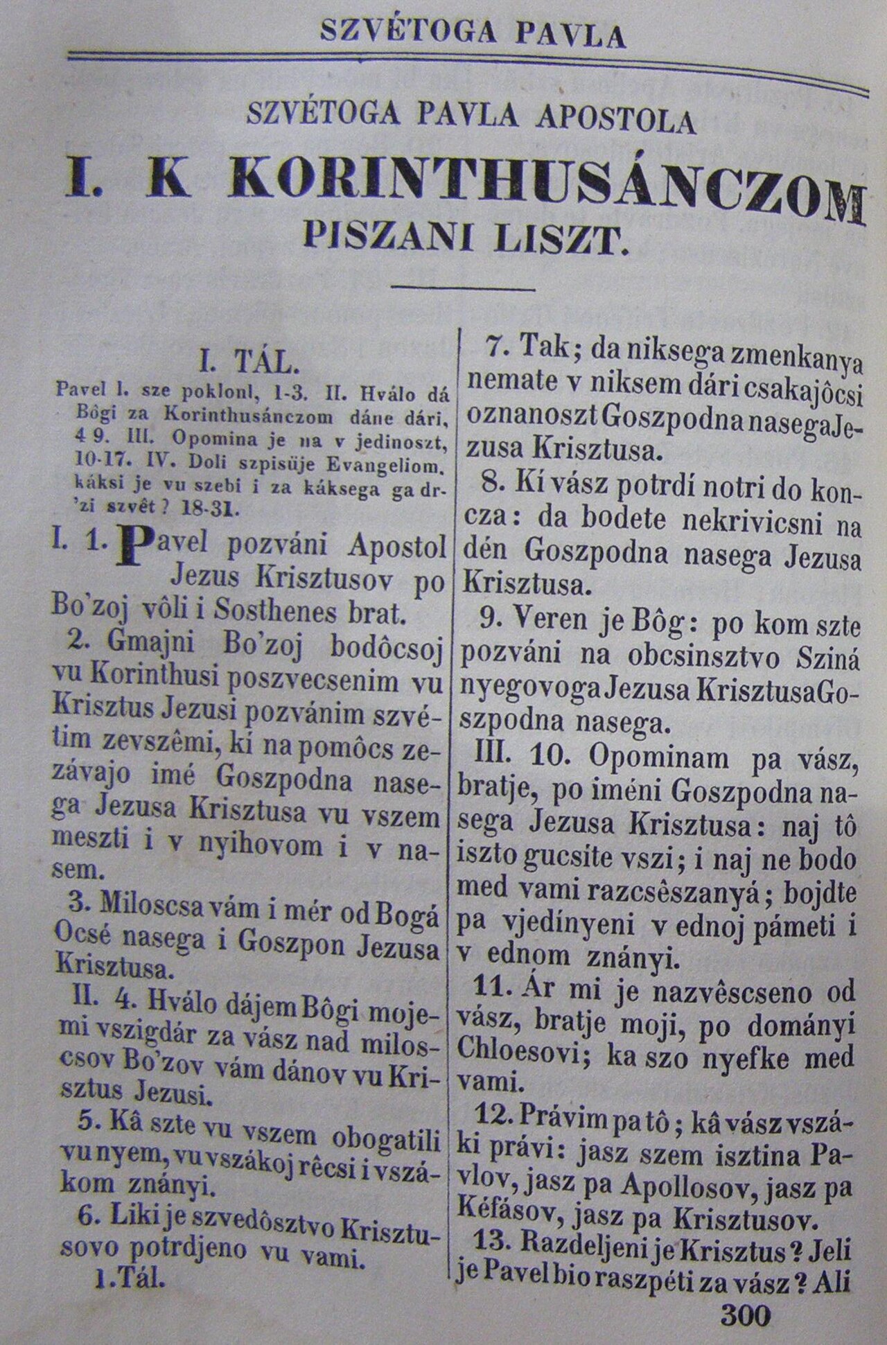
First Epistle to the Corinthians
Paul the Apostle · c. 54 AD
 Book
Primary source
1 Corinthians 13
Paul the Apostle · c. AD 53-57
 Letter
Primary source
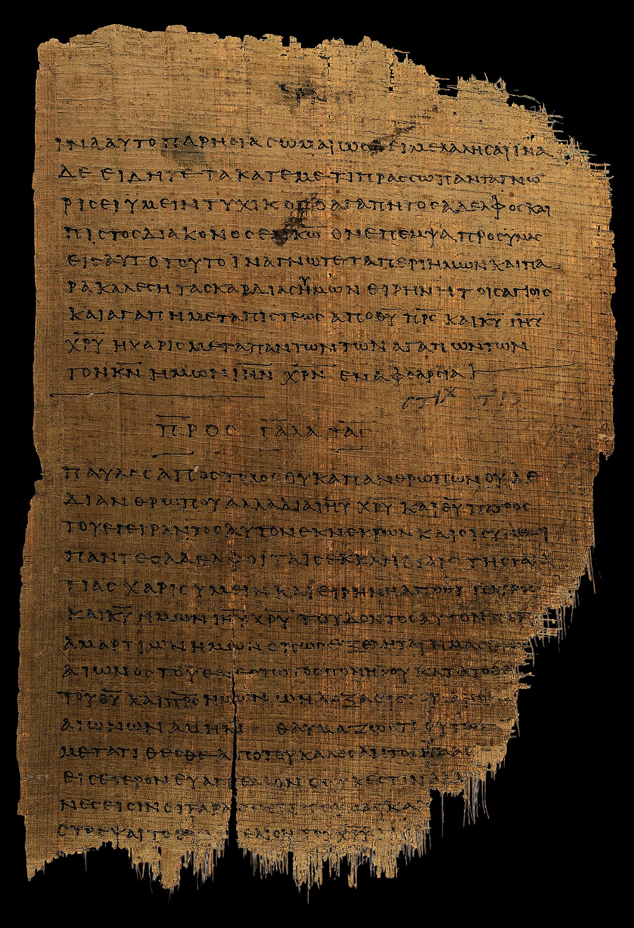
Epistle to the Galatians
Paul the Apostle · c. AD 48
Ready when you are
Start chatting with Saint Paul now.
20 messages free · No credit card · Available in 50+ languages.