


Primary sourceDocumentJune-July 1776
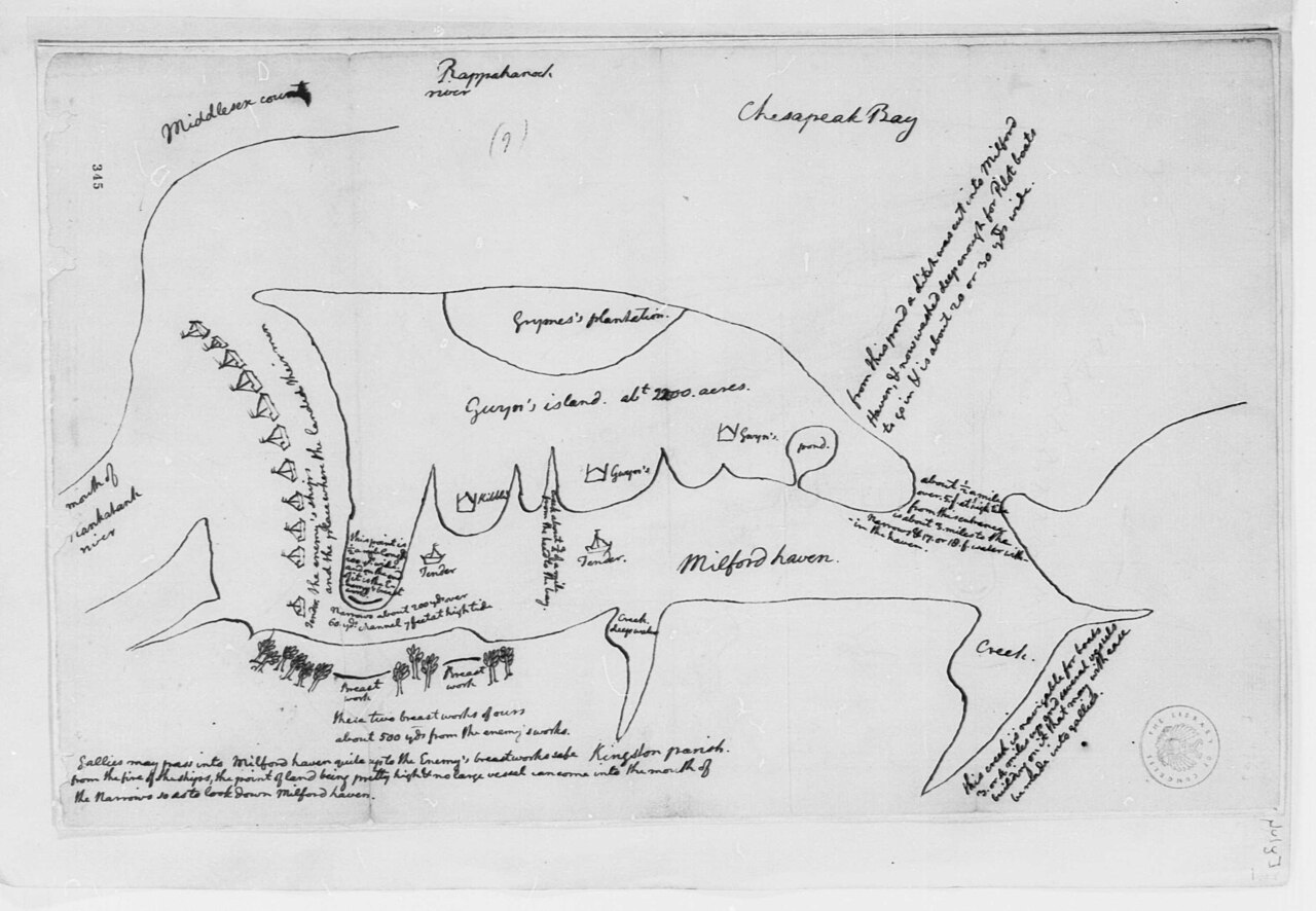
Map of Action at Gwynn's Island, Chesapeake Bay
Thomas Jefferson · June-July 1776
A hand-drawn wartime map sketched by Thomas Jefferson in 1776 showing Gwynn's Island and nearby Chesapeake Bay waters.
Jefferson drew this map himself, showing his surveying skills and concern for Virginia's defense during the Revolutionary War.
About this source
What it is
This is a manuscript map in ink on paper, drawn by Thomas Jefferson in 1776. It shows Gwynn's Island, the Rappahannock River, Chesapeake Bay, Milford Haven, a plantation, and military batteries, with handwritten notes in the margins.
Why it matters
The map reveals Jefferson's skill as a surveyor and his close attention to Virginia's defense during the early years of the American Revolutionary War. It shows a side of Jefferson beyond politics and writing: a man who tracked military action on the ground with careful, practical drawing.
Look closer
- What details did Jefferson choose to label on the map, and why might those have mattered during wartime?
- What does the map's level of detail tell you about Jefferson's training and habits of observation?
- What is missing from the map that a modern map might include?
This document is part of the curated material that grounds the AI version of Thomas Jefferson on Humy.ai — when students ask about related events, the AI can quote it and cite it.
More Thomas Jefferson sources
Meet the AI Thomas Jefferson →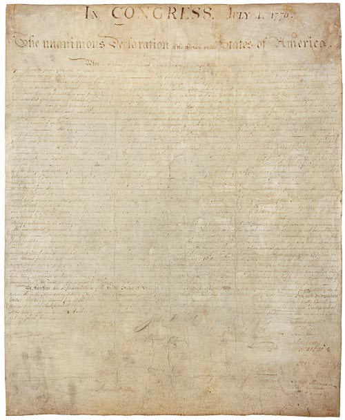 Document
Primary source
Declaration of Independence
Continental Congress (drafted by Thomas Jefferson) · 1776
 Painting
Primary source
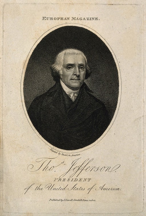
Thomas Jefferson Stipple Engraving after Gilbert Stuart
After Gilbert Stuart · 1802
Primary source
Virginia Statute for Religious Freedom
Thomas Jefferson · written 1777, enacted 16 January 1786
 Painting
Primary source
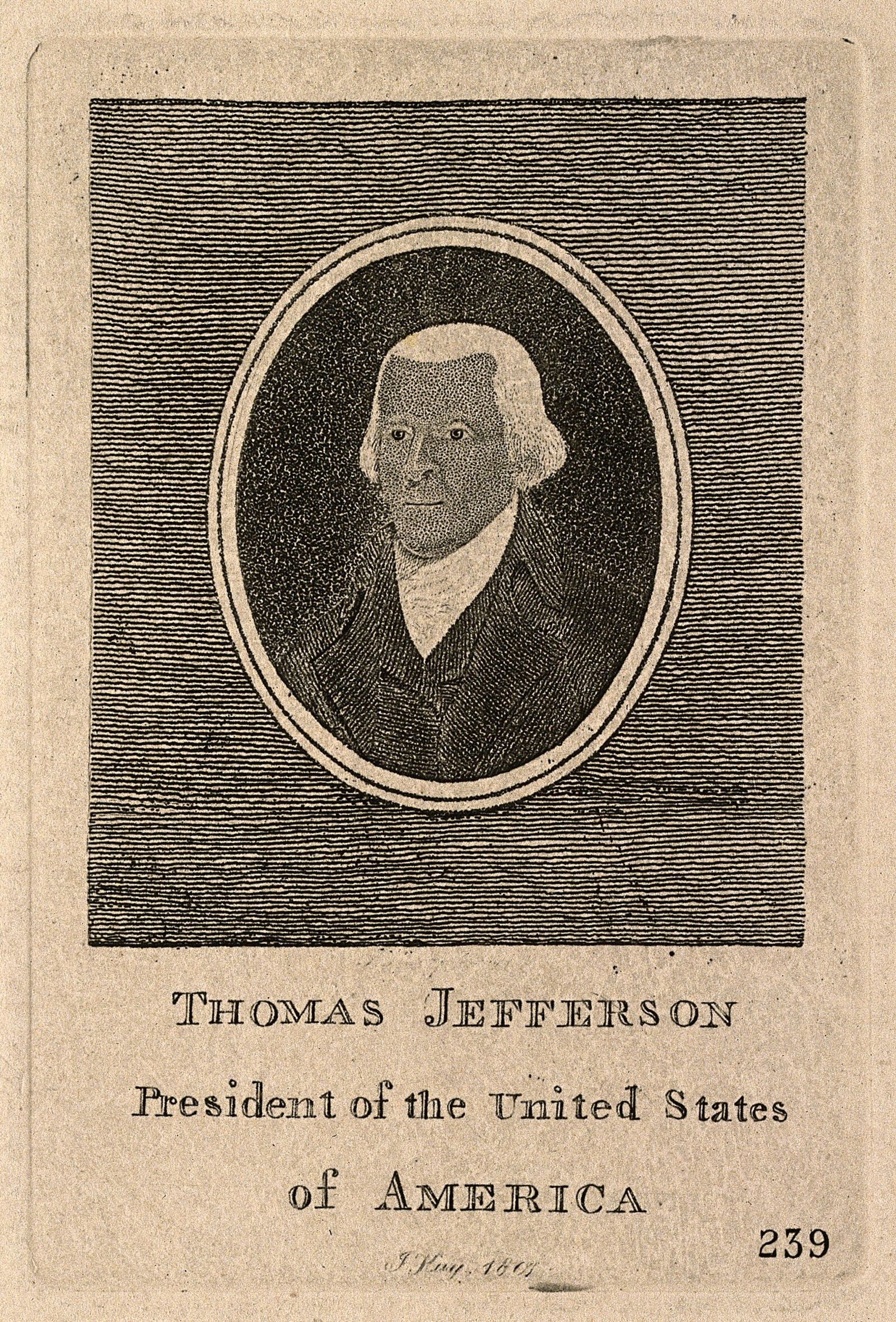
Thomas Jefferson Etching by John Kay, 1807
Gilbert Stuart · 1807
 Painting
Secondary source
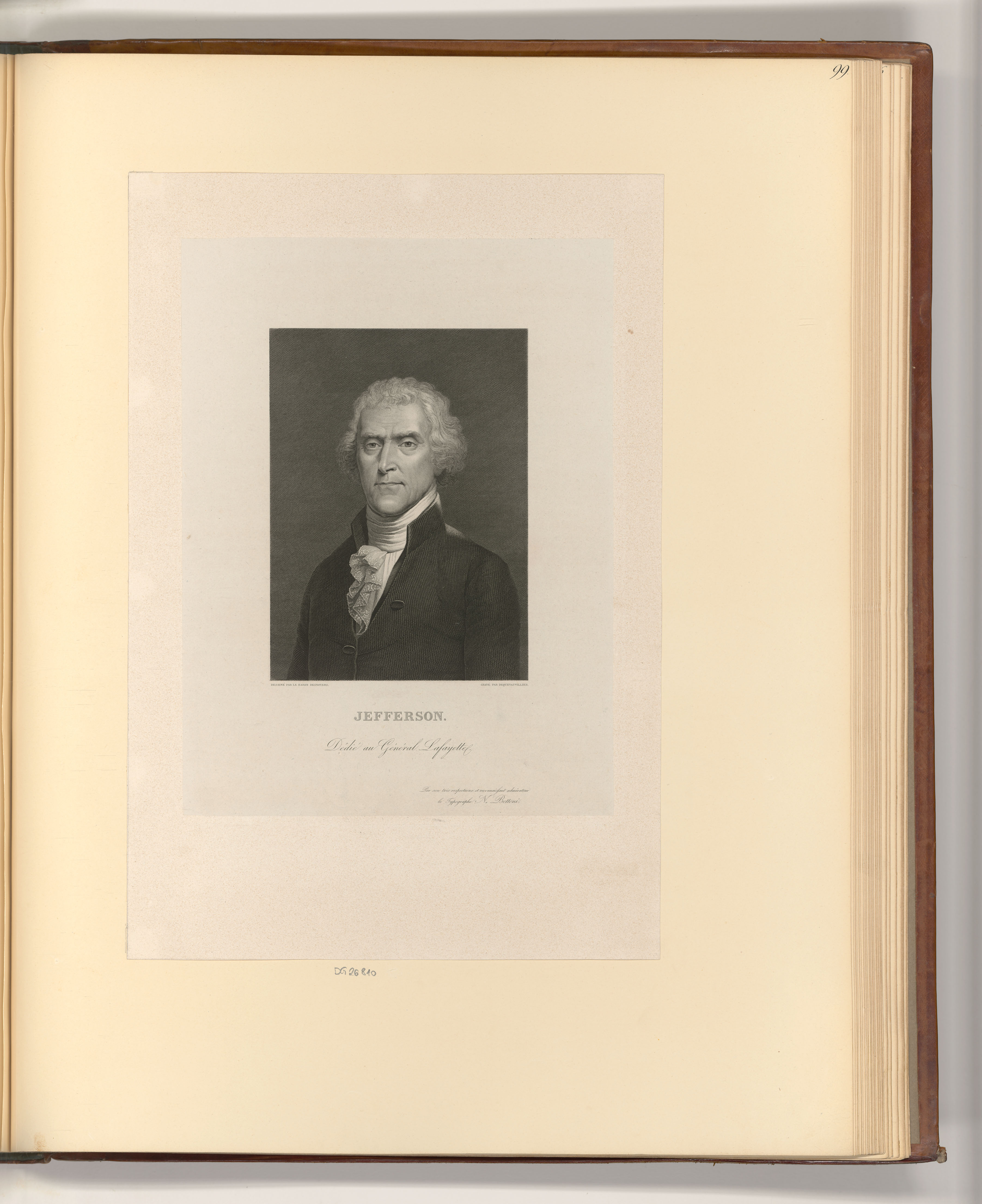
Porträt Thomas Jefferson
Auguste Gaspard Louis Boucher Desnoyers
Ready when you are
Start chatting with Thomas Jefferson now.
20 messages free · No credit card · Available in 50+ languages.