


Primary sourceArtifactc. 1830-1831
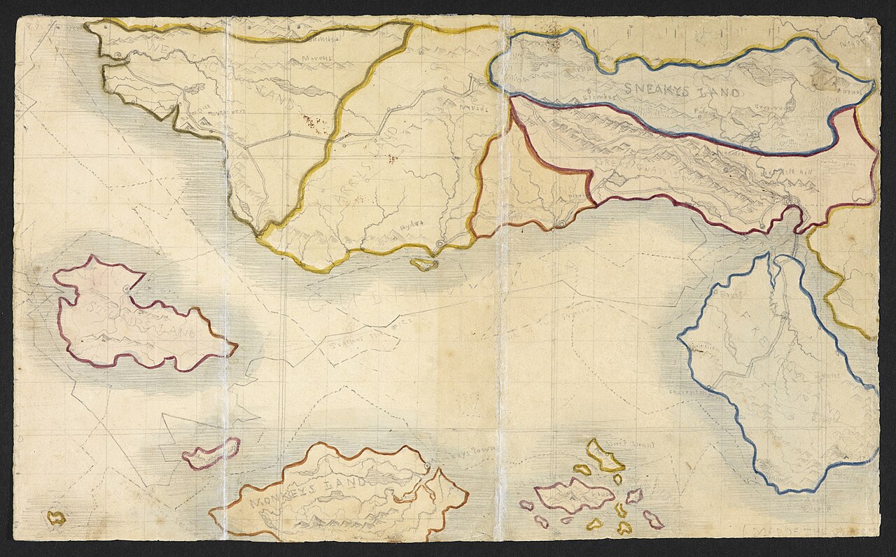
Map of Angria
Branwell Brontë · c. 1830-1831
A hand-drawn map of the imaginary Glass Town Federation, made by Charlotte's brother Branwell as part of their shared fictional world.
This map, from notebooks shared with Charlotte, shows the imaginary world in which she developed as a young writer.
About this source
What it is
This is a hand-drawn map made by Branwell Brontë around 1830–1831, showing the imaginary Glass Town Federation, a fantasy world invented by the Brontë siblings. It comes from the notebooks shared by Branwell and Charlotte Brontë.
Why it matters
This map reveals how deeply the Brontë children developed their invented world, with its own geography and place names. For Charlotte, this collaborative imaginary world was the training ground where she first learned to build characters, places, and extended narratives before writing her published novels.
Look closer
- What do the invented place names suggest about the children's imaginations and the books or stories they knew?
- Why might a shared map have helped Charlotte and Branwell keep their invented stories consistent?
- What does the map not tell us about the stories set within this imaginary world?
This artifact is part of the curated material that grounds the AI version of Charlotte Brontë on Humy.ai — when students ask about related events, the AI can quote it and cite it.
More Charlotte Brontë sources
Meet the AI Charlotte Brontë →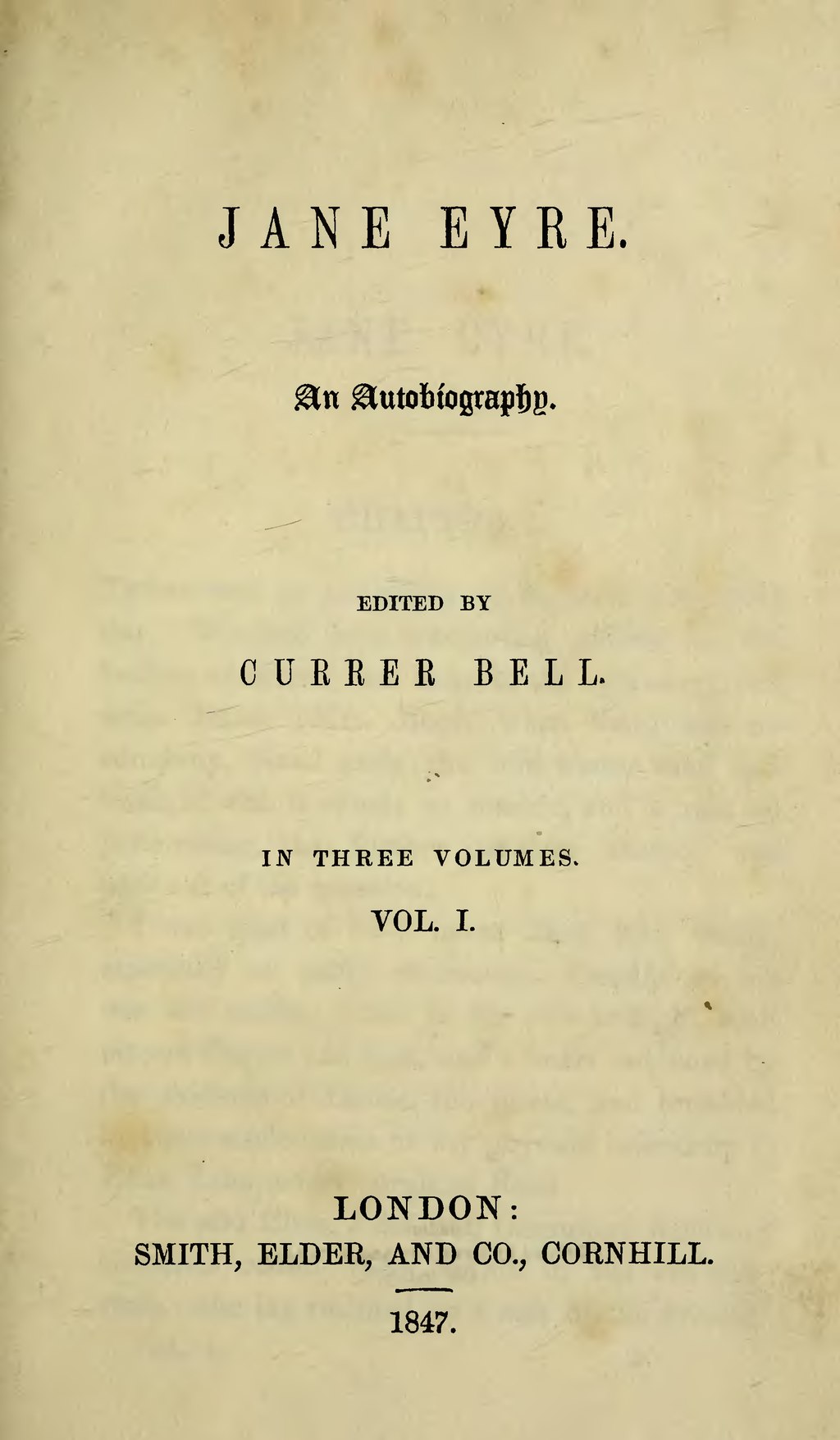 Book
Primary source
Jane Eyre
Charlotte Brontë · 1847
 Painting
Primary source
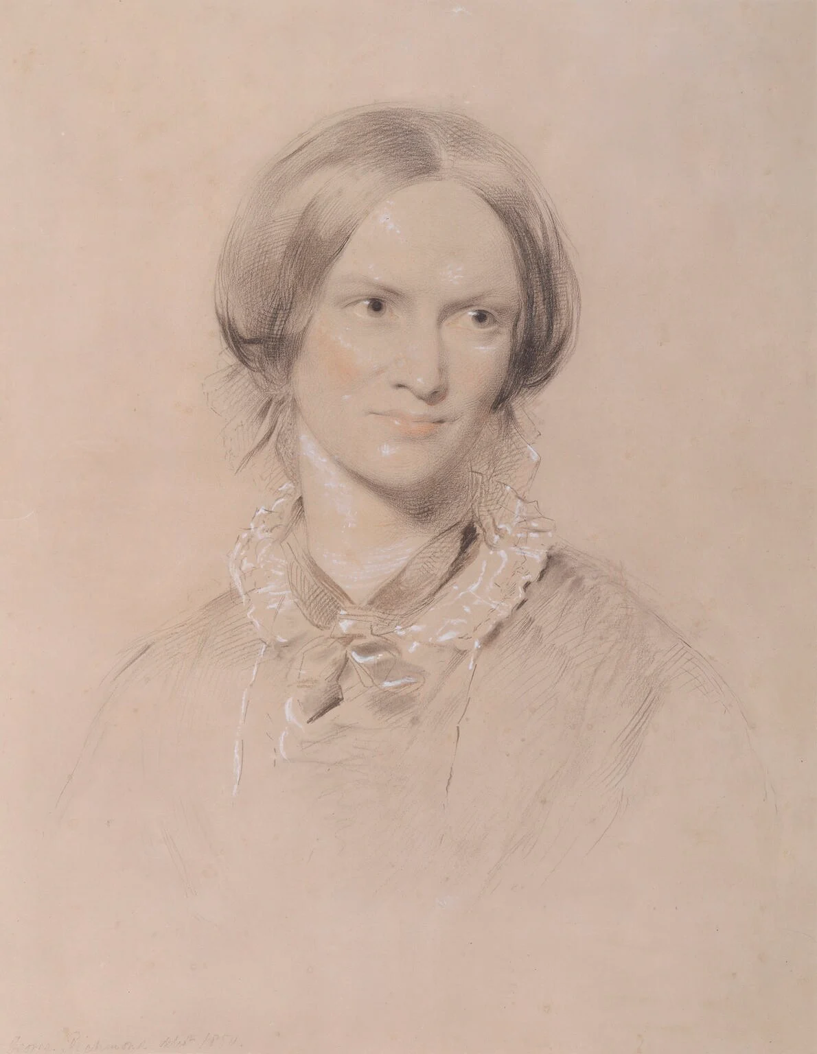
Charlotte Brontë (chalk portrait by George Richmond)
George Richmond · 1850
 Painting
Primary source
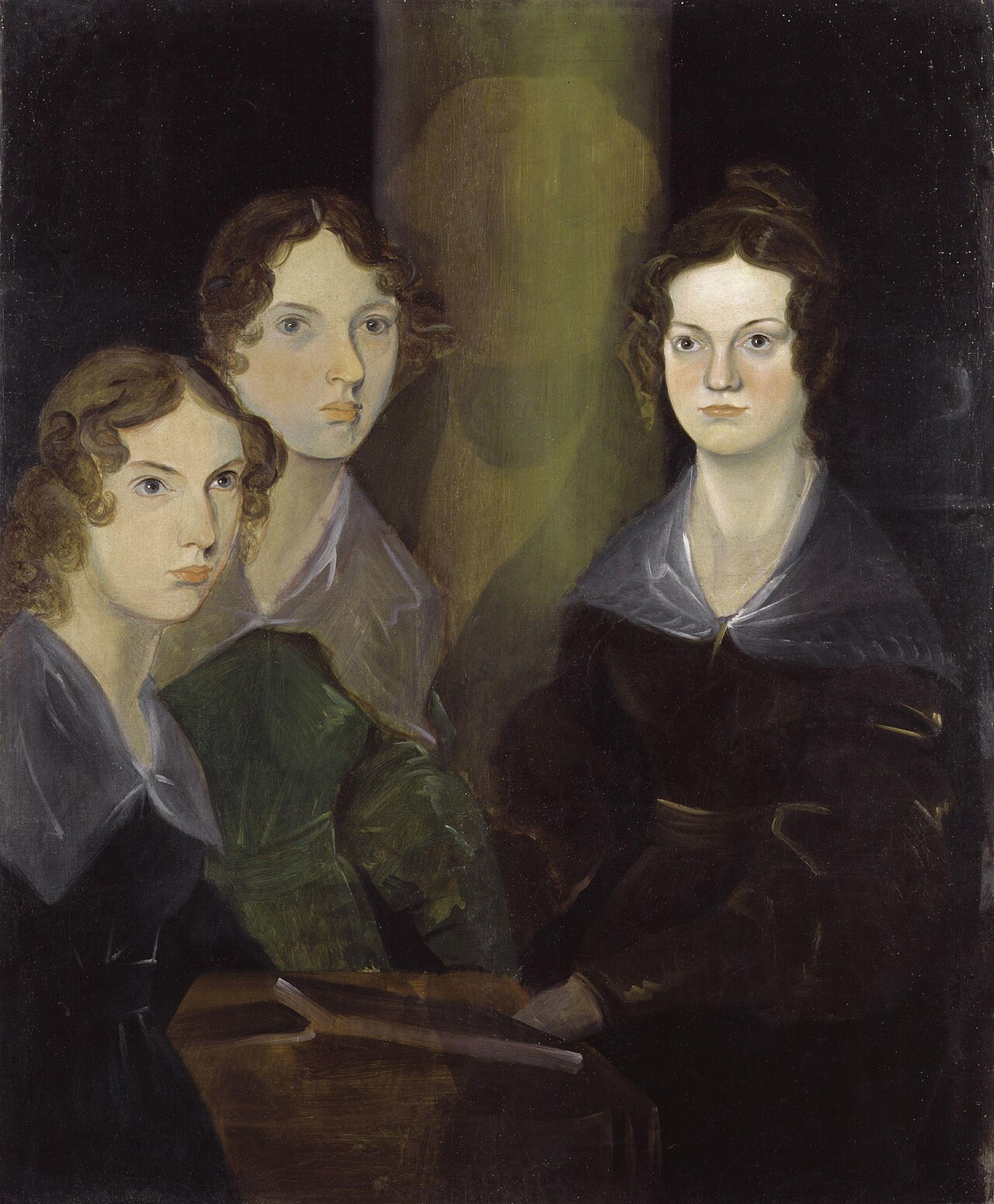
The Brontë Sisters
Branwell Brontë · c. 1834
 Book
Secondary source
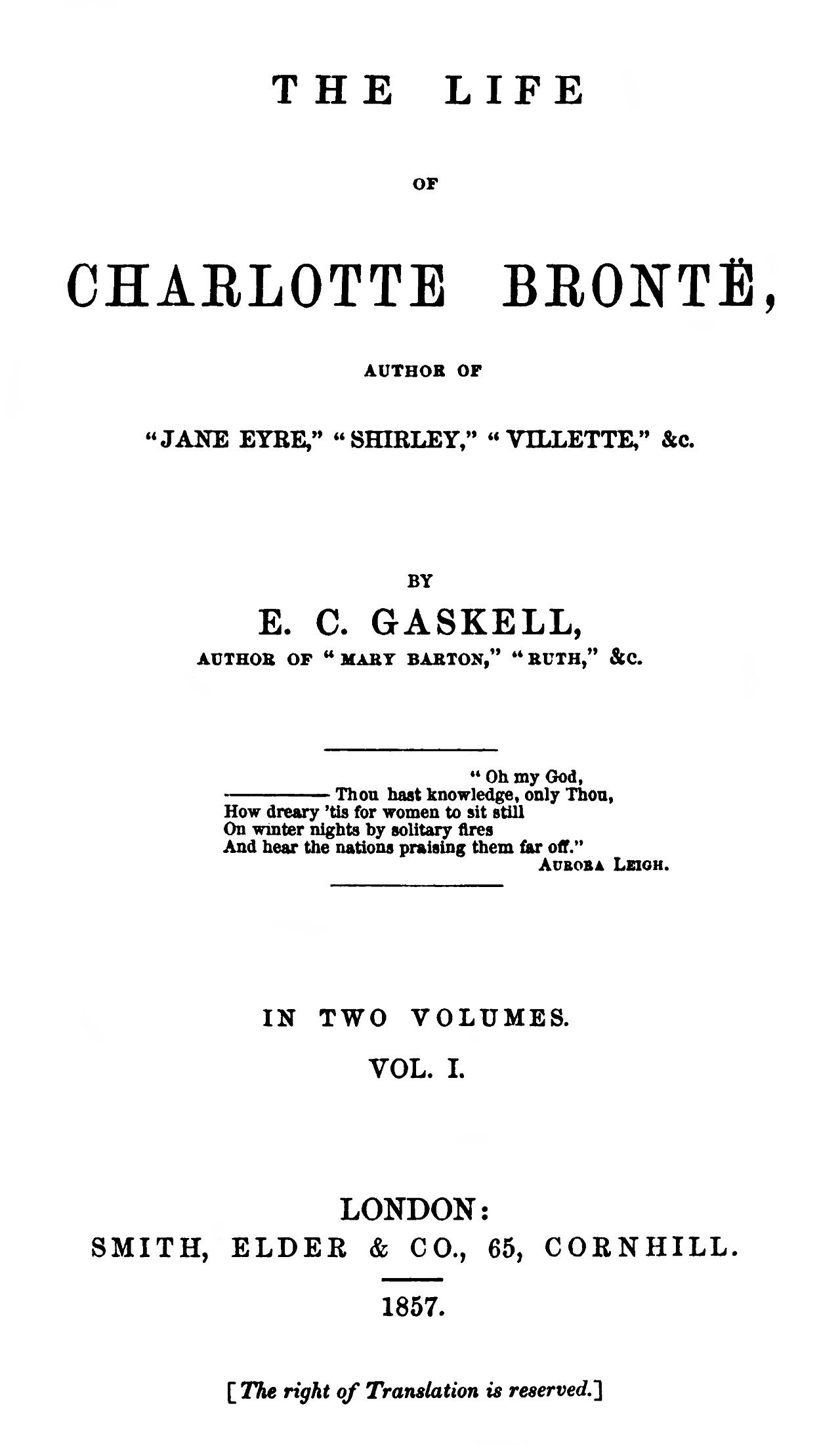
The Life of Charlotte Brontë
Elizabeth Gaskell · 1857
 Book
Primary source
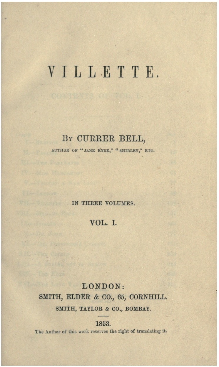
Villette
Charlotte Brontë · 1853
Ready when you are
Start chatting with Charlotte Brontë now.
20 messages free · No credit card · Available in 50+ languages.