


Secondary sourceDocument2014
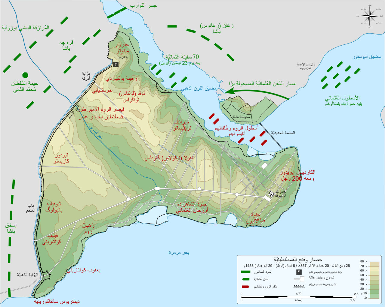
Map of Byzantine and Ottoman Deployments in the 1453 Siege (Arabic)
Sémhur; باسم · 2014
An Arabic-language map showing the positions of Byzantine and Ottoman forces during the siege that ended Constantine XI's reign.
Depicts the siege lines of the final battle in which Constantine XI commanded the defence and was killed.
About this source
What it is
This is a modern Arabic-language map showing the deployment of Byzantine and Ottoman forces during the siege of Constantinople, which lasted from 6 April to 29 May 1453. It marks troop and ship positions, place names and a scale, using green for Ottoman forces and red for Byzantine ones.
Why it matters
The map is a later reconstruction based on an earlier French version, but it helps students visualise the final struggle of Emperor Constantine XI Palaiologos and his forces against the much larger Ottoman army led by Sultan Mehmed II.
Look closer
- How does colour-coding help you quickly compare the two sides' positions?
- Why might the same map be translated into many languages over time?
- What strategic details does the map highlight, and what does it leave out?
This document is part of the curated material that grounds the AI version of Constantine XI Palaiologos on Humy.ai — when students ask about related events, the AI can quote it and cite it.
More Constantine XI Palaiologos sources
Meet the AI Constantine XI Palaiologos →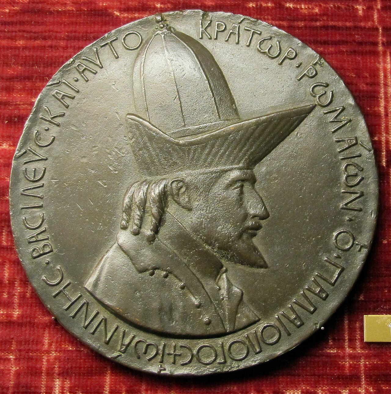 Sculpture
Primary source
Medal of John VIII Palaiologos
Pisanello · 1438-1439
 Painting
Secondary source
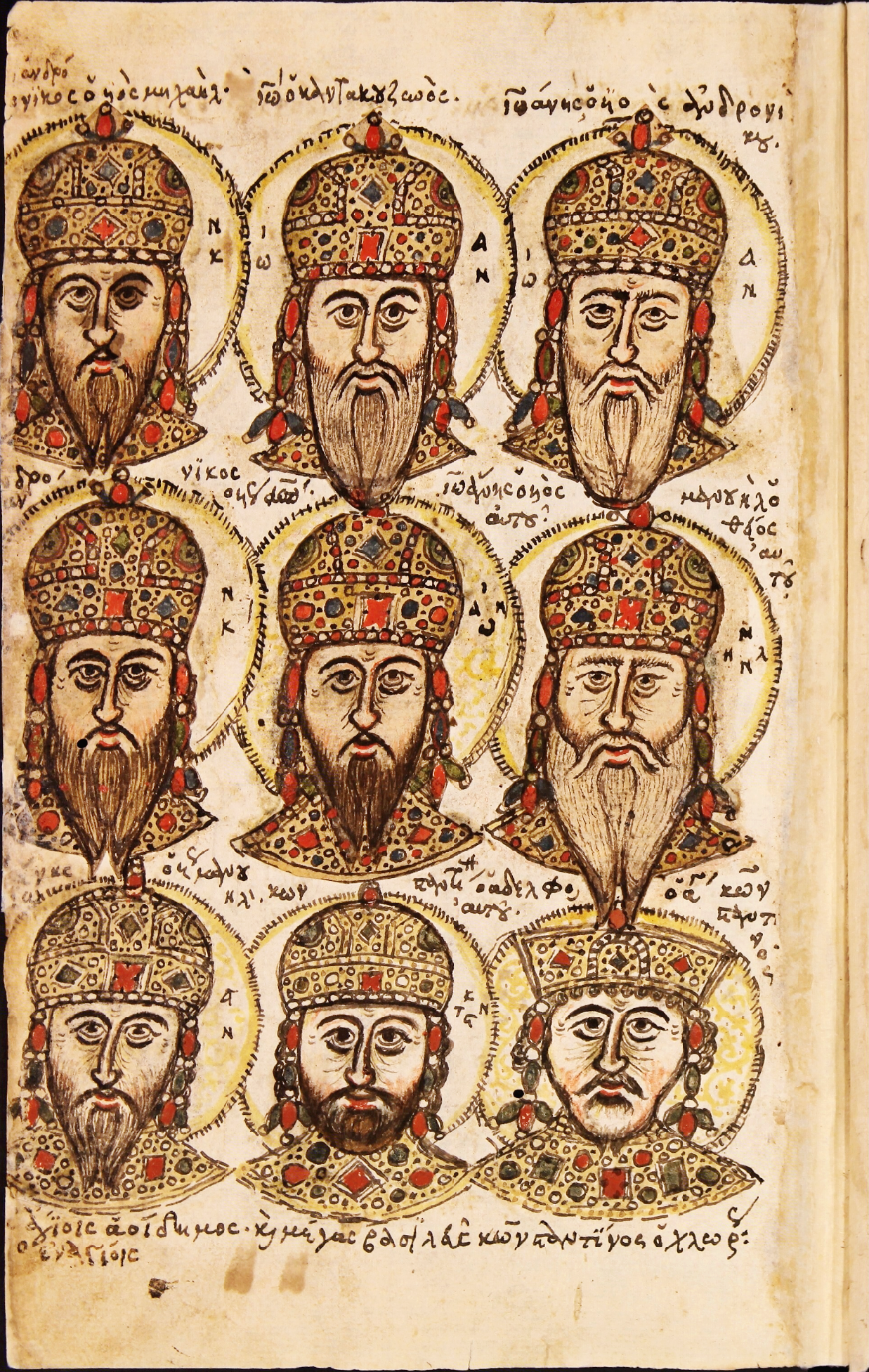
Zonaras Chronicle Portrait Folio
Unknown Byzantine scribes
 Painting
Secondary source
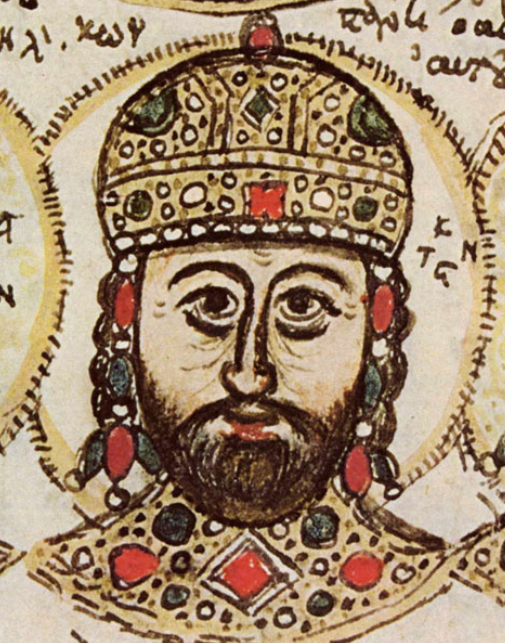
Portrait of Constantine XI Palaiologos in the Mutinensis gr. 122 Codex
Unknown Byzantine artist · 15th century
 Artifact
Primary source
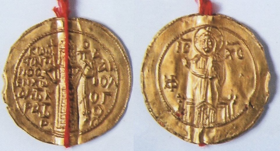
Gold Seal of Constantine XI for Ragusa
1451
 Photograph
Secondary source
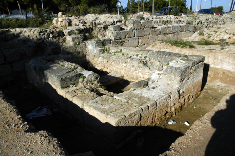
Hexamilion Wall Ruins Across the Corinth Isthmus
Nefasdicere
Ready when you are
Start chatting with Constantine XI Palaiologos now.
20 messages free · No credit card · Available in 50+ languages.