


Secondary sourceDocument2013
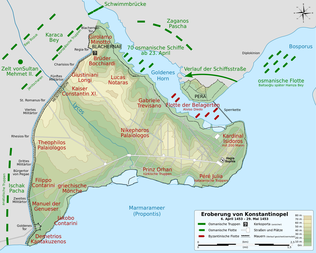
Map of Byzantine Constantinople During the 1453 Siege
Sémhur; Cplakidas; Lokiseinchef · 2013
A modern German topographic map showing Ottoman and Byzantine troop positions during the siege that ended Constantine XI's empire.
Reconstructs the siege lines of the battle in which Constantine XI died defending his city.
About this source
What it is
This is a modern map of Constantinople during the Byzantine period, made using scholarly sources such as R. Janin's study of the city's topography and Dumbarton Oaks research. It shows Ottoman troops in green and Byzantine forces in red during the 1453 siege, with commander names and the city's main waterways.
Why it matters
Though created long after the event, the map draws on serious historical research to reconstruct the layout of the siege that ended the Byzantine Empire under Emperor Constantine XI Palaiologos.
Look closer
- Why do historians rely on written records and older maps to build a map like this?
- What can troop colour-coding tell you about how the battle lines were drawn?
- What questions would you ask about the sources behind this reconstruction?
This document is part of the curated material that grounds the AI version of Constantine XI Palaiologos on Humy.ai — when students ask about related events, the AI can quote it and cite it.
More Constantine XI Palaiologos sources
Meet the AI Constantine XI Palaiologos →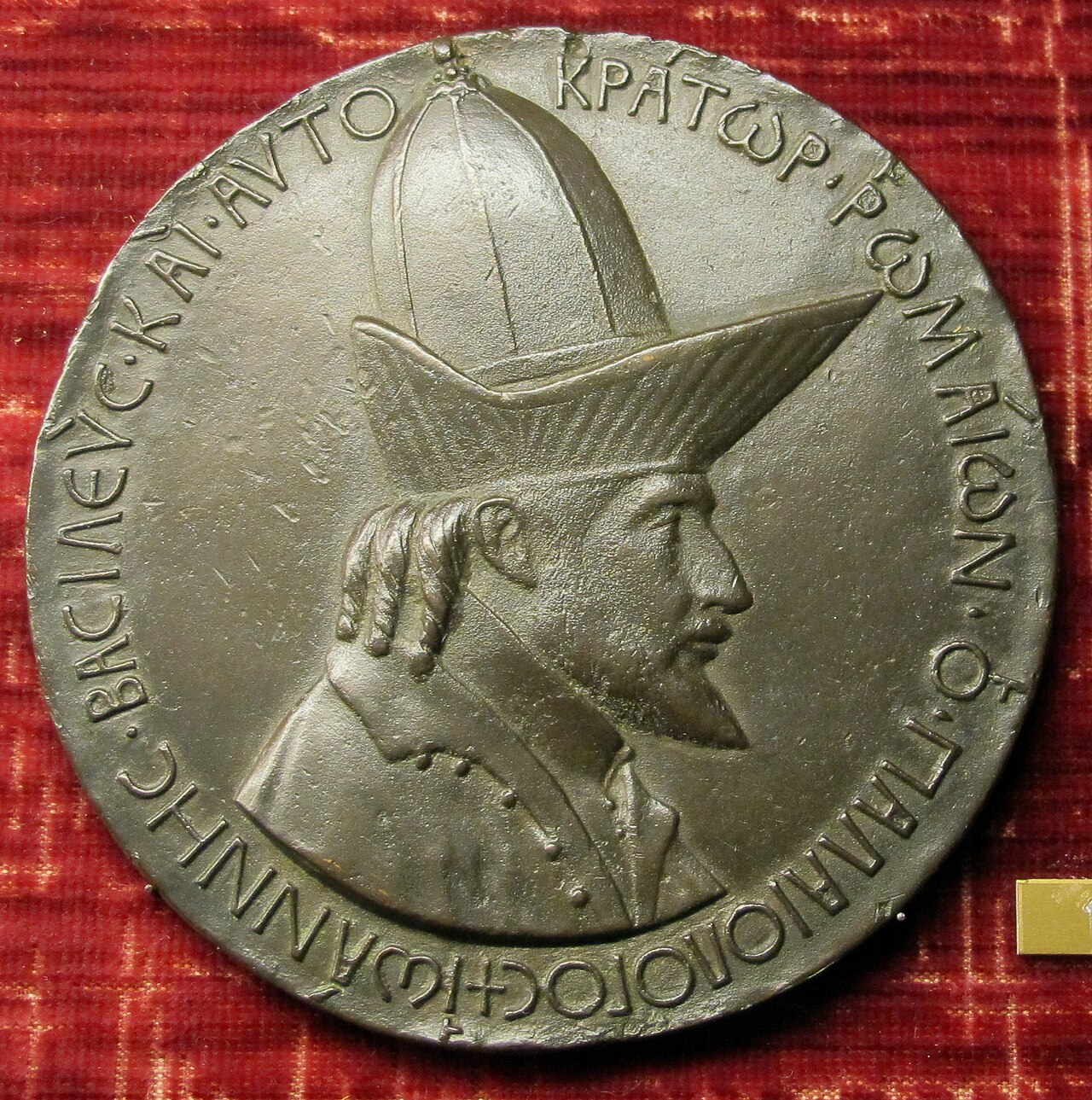 Sculpture
Primary source
Medal of John VIII Palaiologos
Pisanello · 1438-1439
 Painting
Secondary source
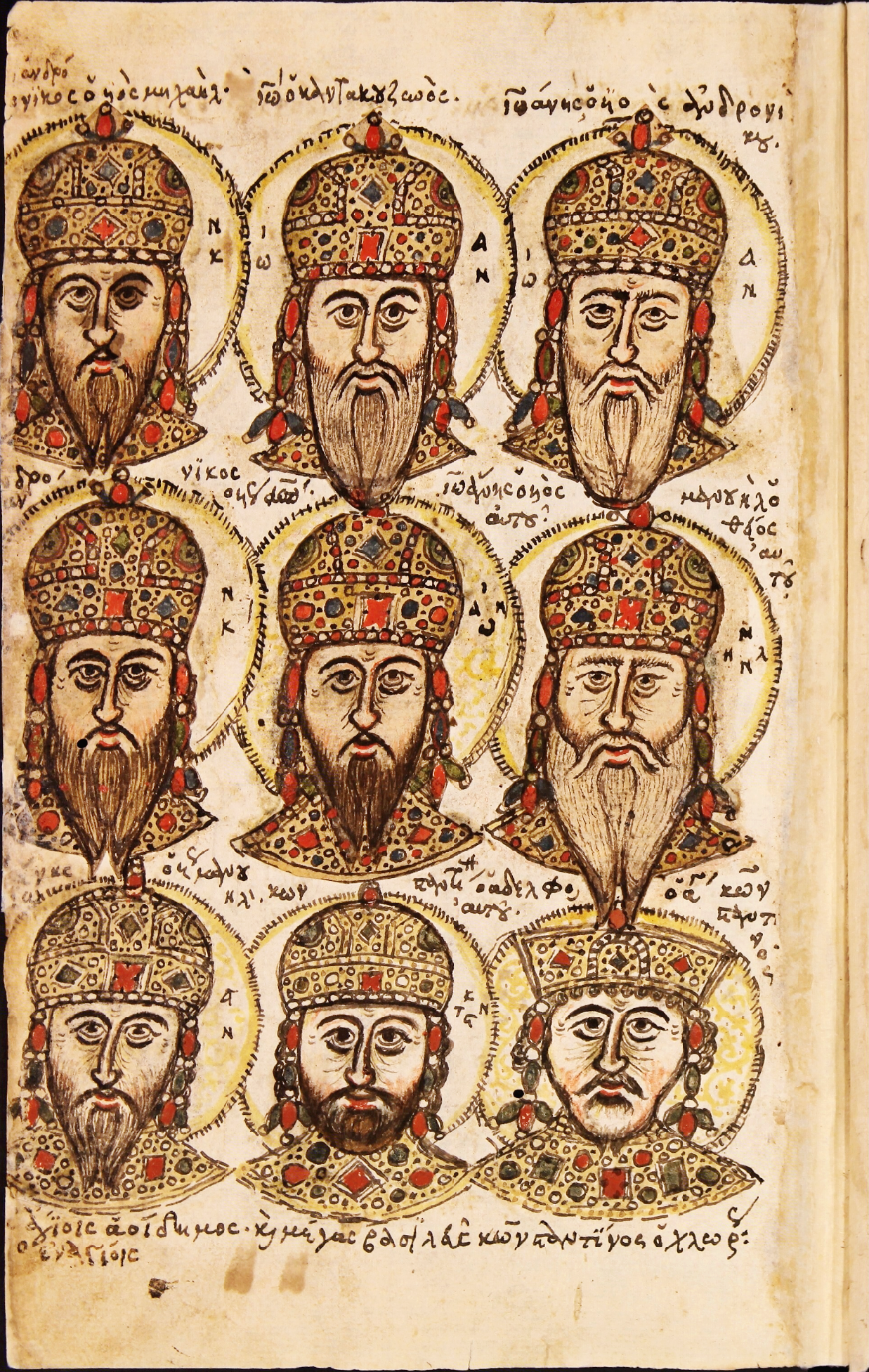
Zonaras Chronicle Portrait Folio
Unknown Byzantine scribes
 Painting
Secondary source
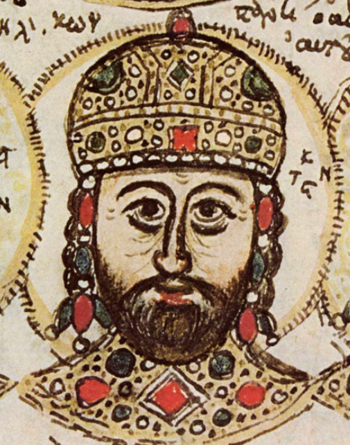
Portrait of Constantine XI Palaiologos in the Mutinensis gr. 122 Codex
Unknown Byzantine artist · 15th century
 Artifact
Primary source
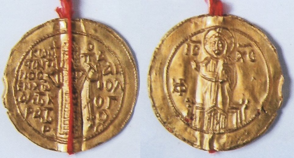
Gold Seal of Constantine XI for Ragusa
1451
 Photograph
Secondary source
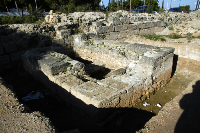
Hexamilion Wall Ruins Across the Corinth Isthmus
Nefasdicere
Ready when you are
Start chatting with Constantine XI Palaiologos now.
20 messages free · No credit card · Available in 50+ languages.