


Secondary sourceDocument1325-1332 (map created later)
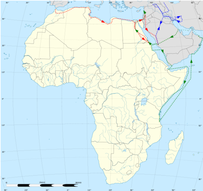
Map of Ibn Battuta's Journeys in Africa, 1325-1332 (Bengali)
1325-1332 (map created later)
A later map tracing Ibn Battuta's travel routes across North and East Africa and Arabia between 1325 and 1332, labeled in Bengali.
This modern map traces the African routes of Ibn Battuta's own travels, helping readers follow his journey.
About this source
What it is
This is a modern route map showing the journeys of Ibn Battuta across Africa, Arabia, and the Indian Ocean coast between 1325 and 1332. Colored dotted lines trace his path along North Africa, the Nile, the Arabian Peninsula, and the East African coast, with arrows showing direction of travel. Labels on the map are in Bengali.
Why it matters
This map was created long after Ibn Battuta's lifetime to help modern readers follow his extensive travels. It illustrates how historians and educators reconstruct the geography of his journeys from his own travel account, making his routes easier to visualize across continents and seas.
Look closer
- Why might mapmakers use different colors for different stages of a journey?
- What choices did the mapmaker have to make when turning written travel accounts into a visual route?
- What parts of Ibn Battuta's experience can a map like this not show?
This document is part of the curated material that grounds the AI version of Ibn Battuta on Humy.ai — when students ask about related events, the AI can quote it and cite it.
More Ibn Battuta sources
Meet the AI Ibn Battuta →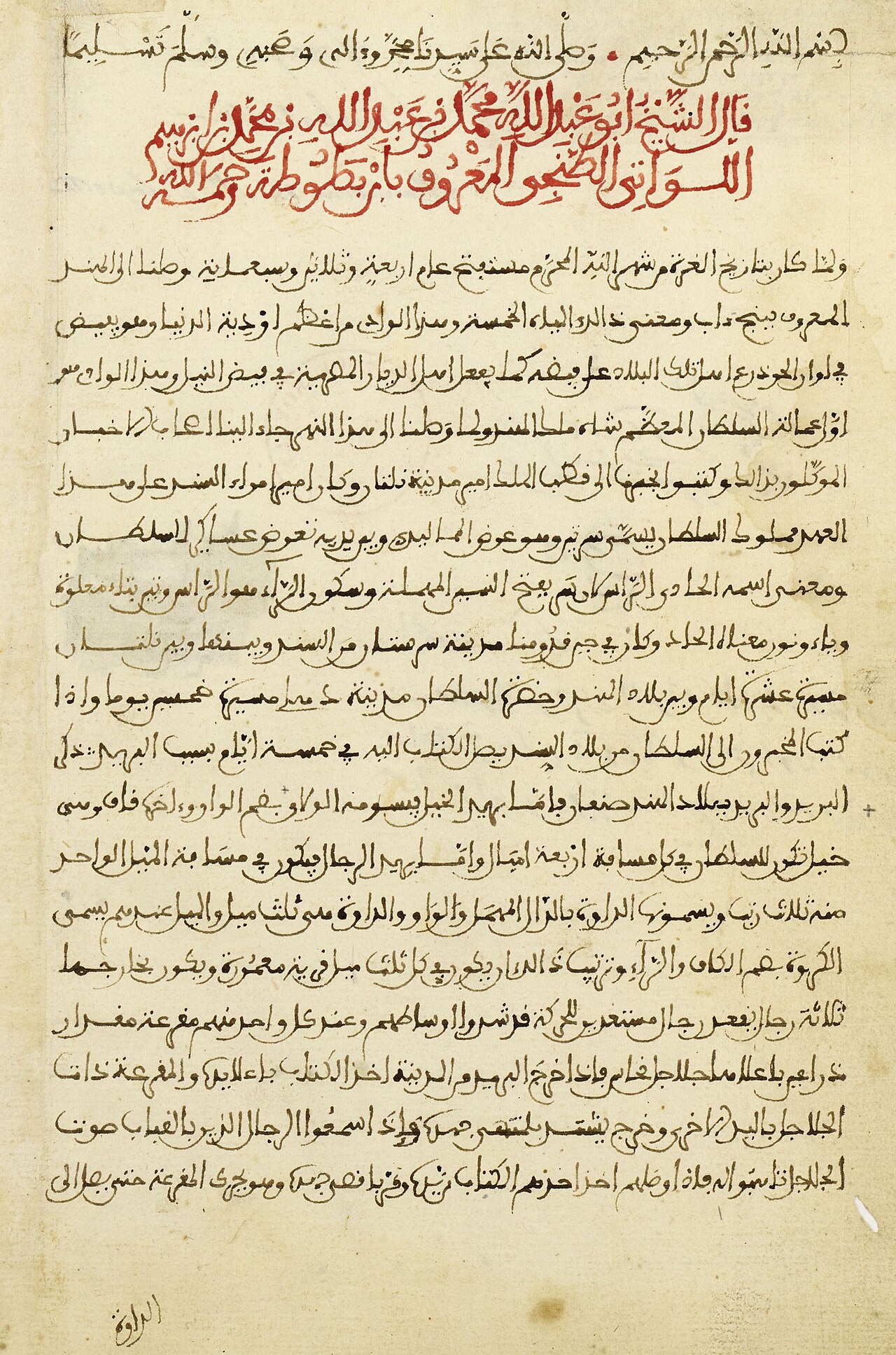 Book
Primary source
The Rihla
Ibn Battuta · 1354-1356
 Book
Primary source
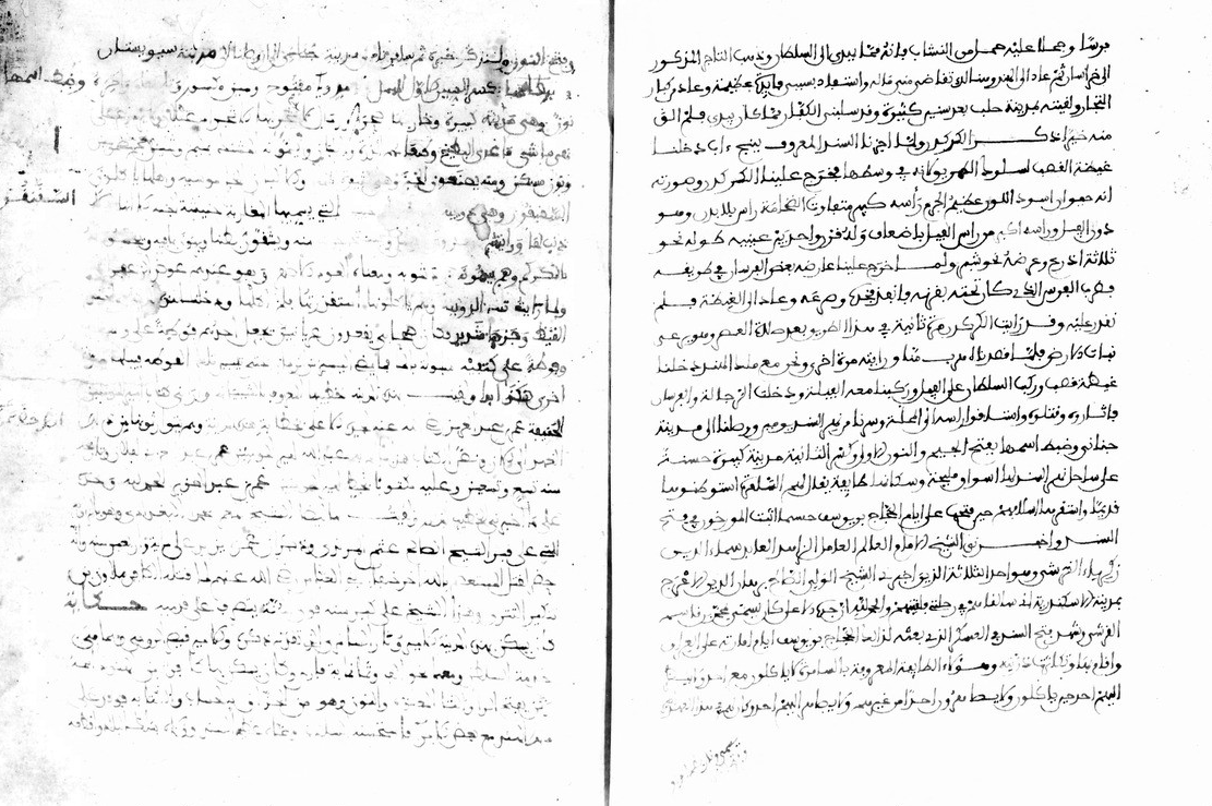
Manuscript of the Rihla by Ibn Juzayy
Ibn Juzayy · 14th century
 Artifact
Secondary source
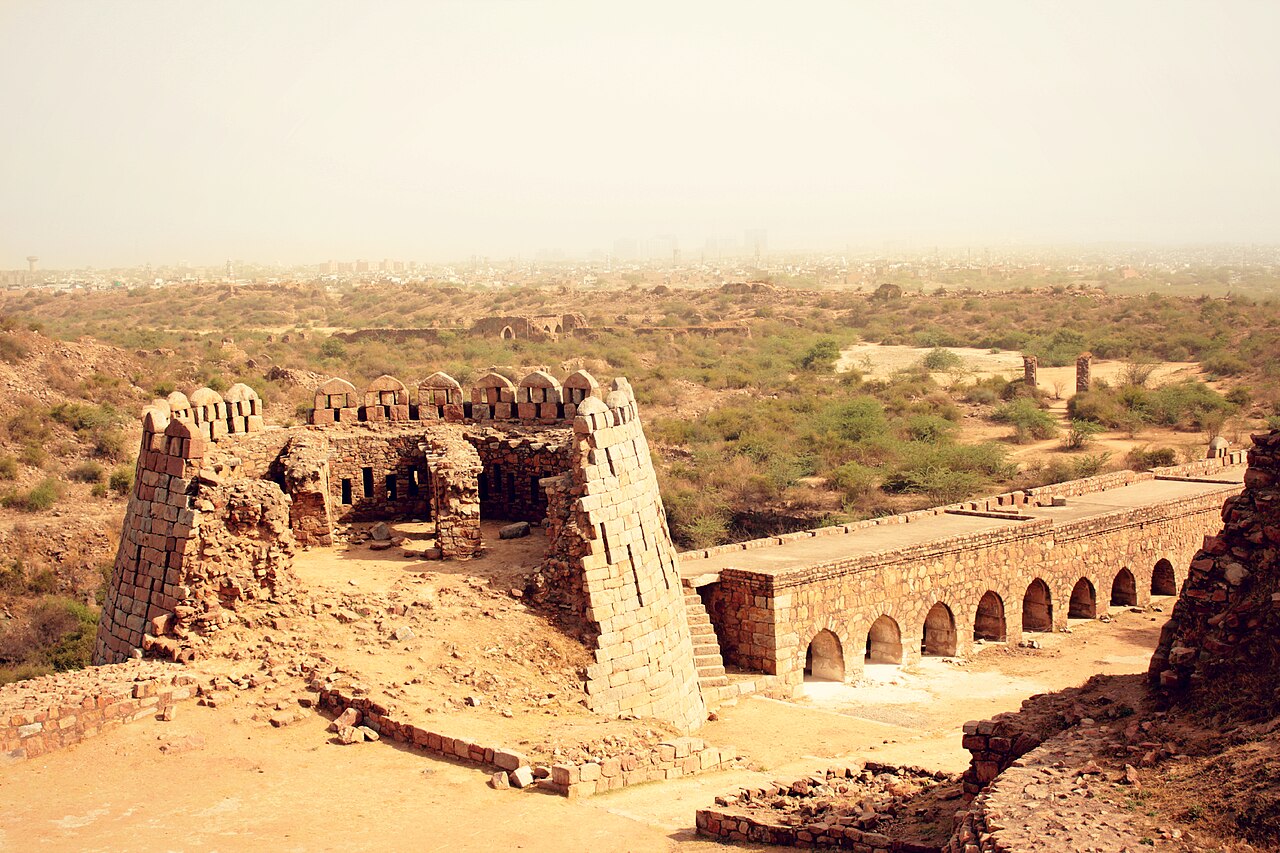
Tughlaqabad Fort
Ghiyath al-Din Tughluq · 1321
 Book
Secondary source
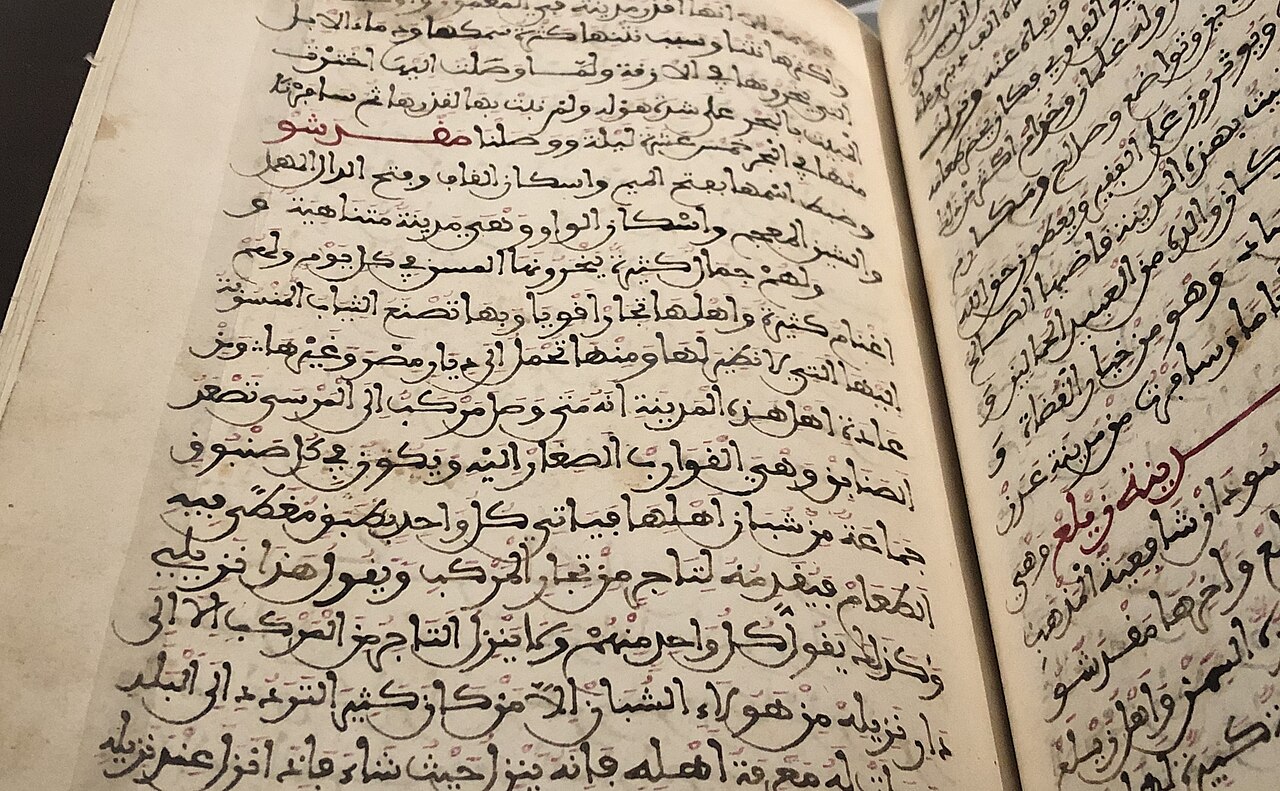
Manuscript copy of the Rihla (1484)
Ibn Juzayy · 1484
 Painting
Primary source
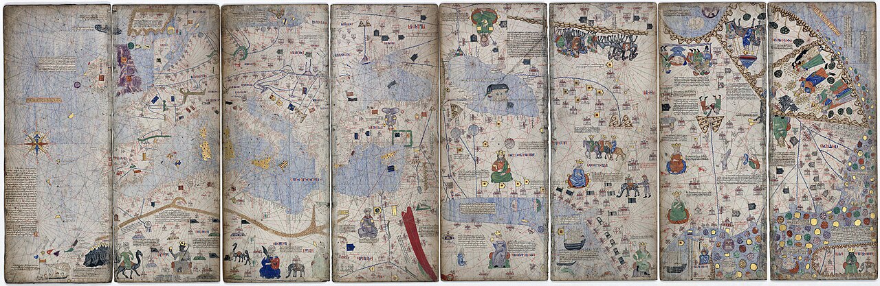
Catalan Atlas
Cresques Abraham · c. 1375
Ready when you are
Start chatting with Ibn Battuta now.
20 messages free · No credit card · Available in 50+ languages.