


Secondary sourceDocument
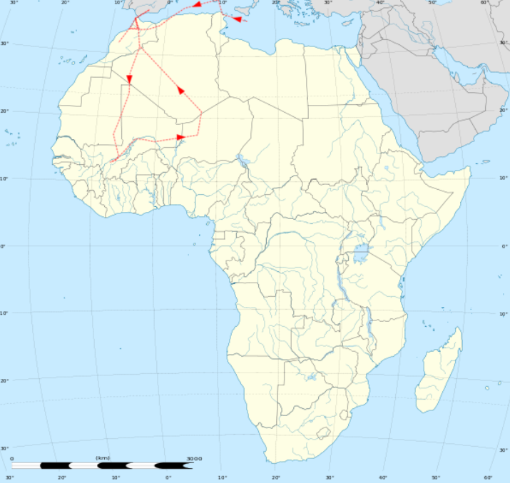
Map of Ibn Battuta's Journeys in North Africa
Asifmuktadir
A modern Bengali-language map tracing Ibn Battuta's travel route across North Africa.
This modern map illustrates the route of Ibn Battuta's travels through North Africa.
About this source
What it is
This is a modern outline map of Africa, with a red dotted route marking Ibn Battuta's travels across North Africa, from the Mediterranean coast westward and south through the Sahara into West Africa. It was made by a modern contributor, with labels in Bengali.
Why it matters
This map is a secondary, modern creation meant to help readers visualize the scale of Ibn Battuta's journeys across North Africa, based on his own accounts recorded centuries earlier. It is not from his lifetime but a later tool for studying his travels.
Look closer
- How might a mapmaker today decide exactly where to draw Ibn Battuta's route?
- What can a map show about a journey that written description alone cannot?
- What is missing from a simple route map, such as how long the journey took or what Ibn Battuta experienced along the way?
This document is part of the curated material that grounds the AI version of Ibn Battuta on Humy.ai — when students ask about related events, the AI can quote it and cite it.
More Ibn Battuta sources
Meet the AI Ibn Battuta →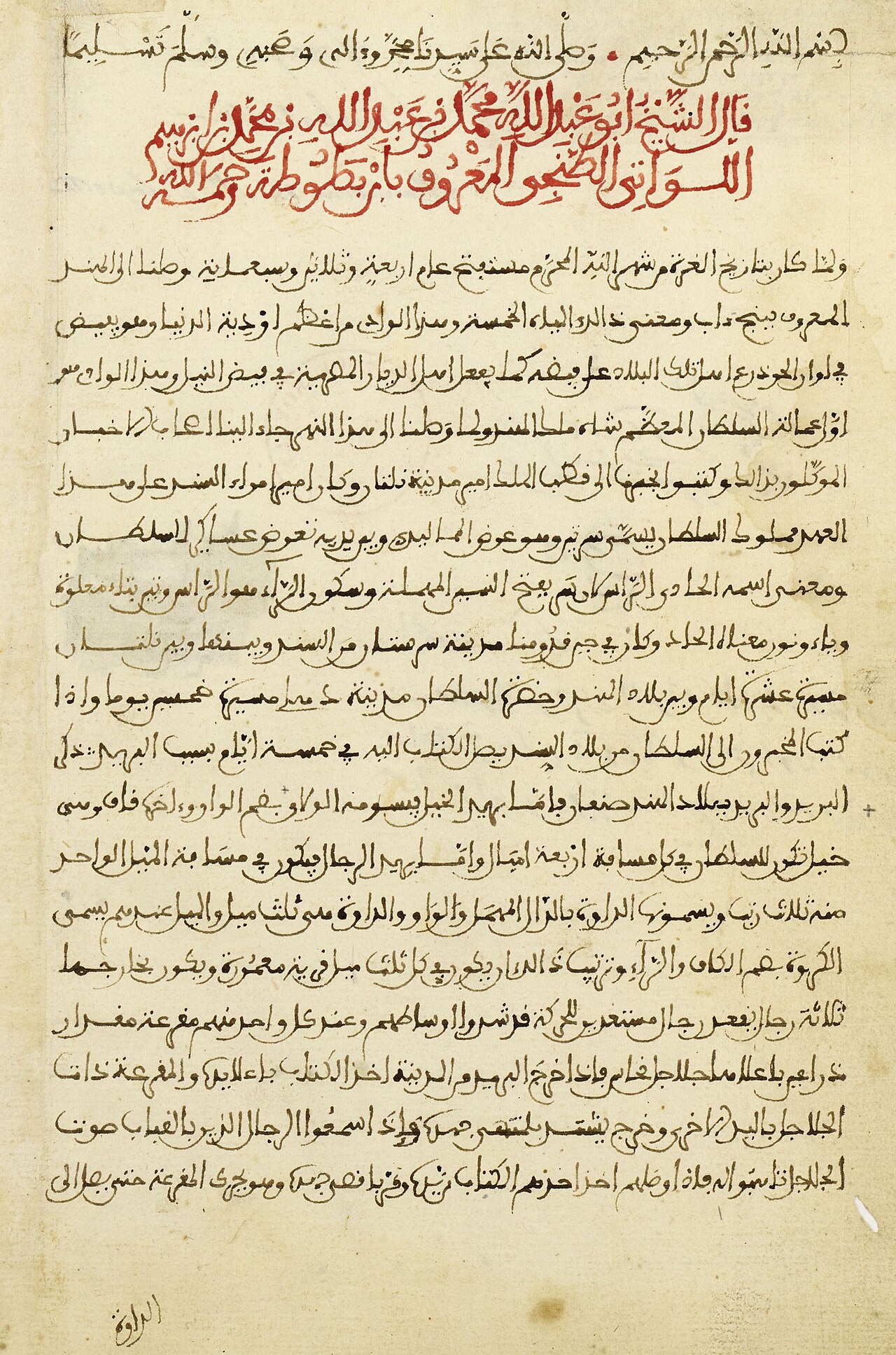 Book
Primary source
The Rihla
Ibn Battuta · 1354-1356
 Book
Primary source
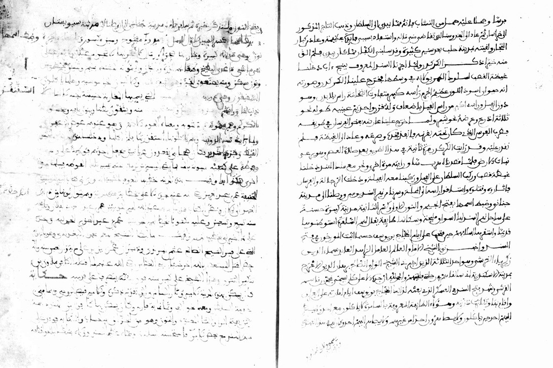
Manuscript of the Rihla by Ibn Juzayy
Ibn Juzayy · 14th century
 Artifact
Secondary source
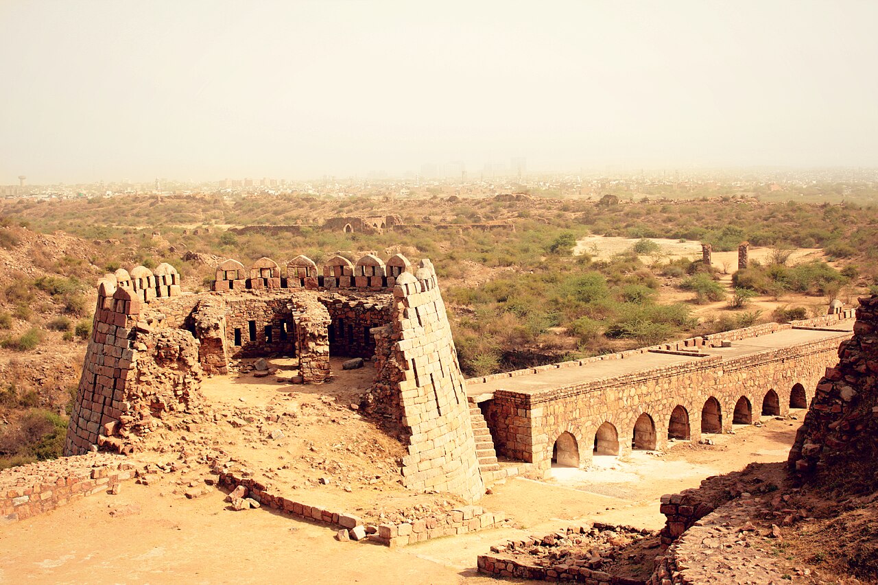
Tughlaqabad Fort
Ghiyath al-Din Tughluq · 1321
 Book
Secondary source
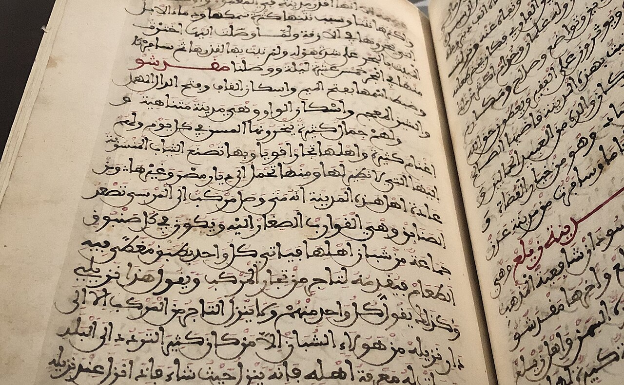
Manuscript copy of the Rihla (1484)
Ibn Juzayy · 1484
 Painting
Primary source
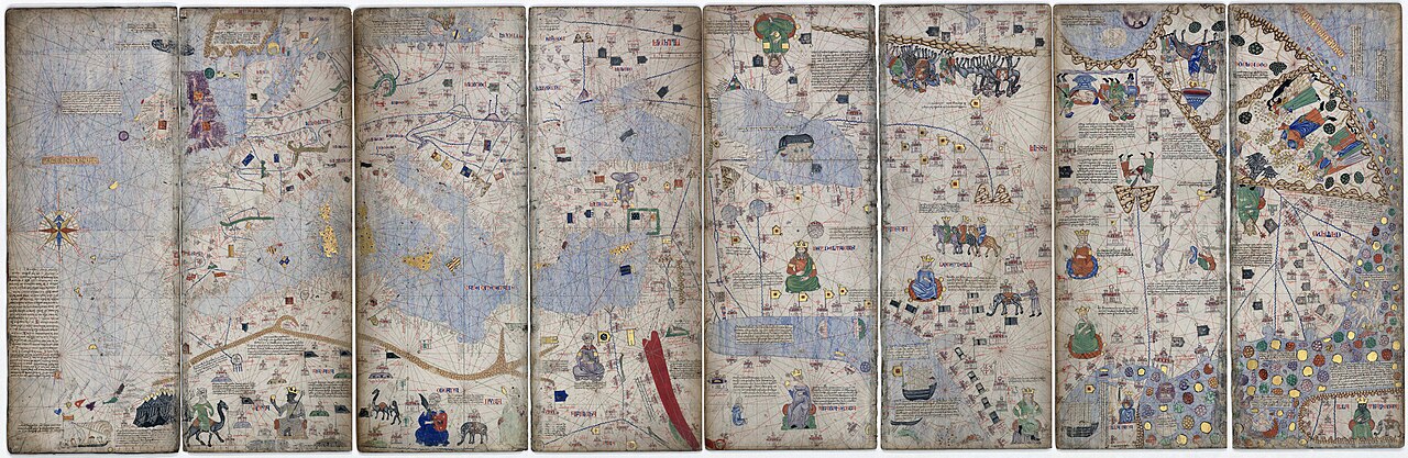
Catalan Atlas
Cresques Abraham · c. 1375
Ready when you are
Start chatting with Ibn Battuta now.
20 messages free · No credit card · Available in 50+ languages.