


Tertiary sourceDocument1888
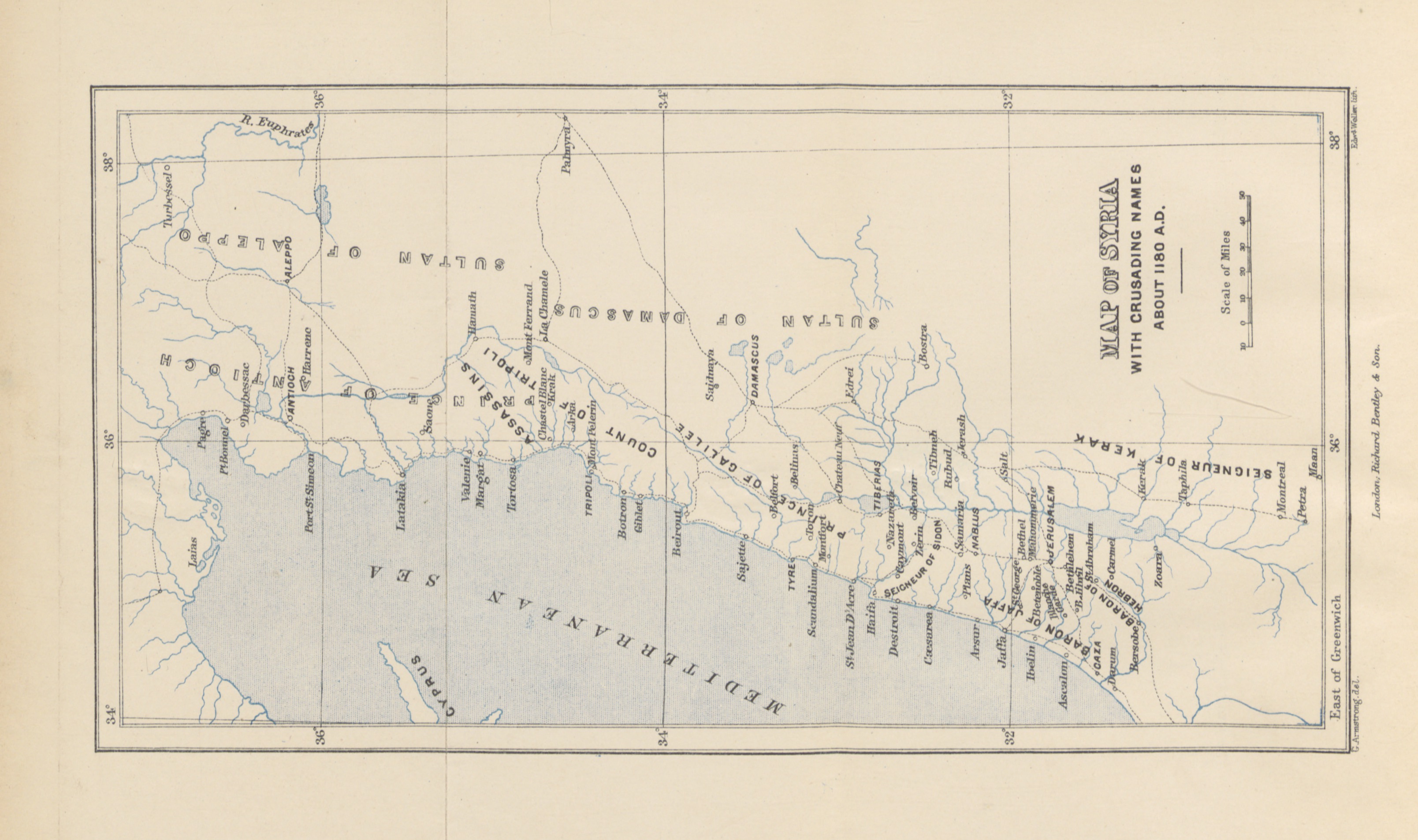
Map of Syria with Crusading Names About 1180 A.D.
1888
An 1888 scholarly map of Syria showing Crusader-era place names from around the time of Saladin's campaigns.
This map reconstructs the geography of Saladin's campaigns around 1180, helping locate his territorial struggles.
About this source
What it is
This antique map, titled 'Map of Syria with Crusading Names about 1180 A.D.', comes from a book published in 1888 called 'Jerusalem, the City of Herod and Saladin.' It shows the Mediterranean coastline, Cyprus, rivers including the Euphrates, and labeled regions such as Aleppo, Antioch, Damascus, Tripoli, Tyre, Acre, Jerusalem, and Hebron. It is held by the British Library.
Why it matters
This map was made by later scholars studying the region during the Crusades, around the time Saladin was active in Syria and the Levant. It helps students understand the geography of the territories Saladin fought to control, even though it is a modern reconstruction rather than a contemporary document.
Look closer
- Why would historians writing in 1888 want to recreate a map of 1180?
- What do the labeled cities tell you about the region Saladin was contesting?
- What might this map leave out that a map made in Saladin's own time might have included?
This document is part of the curated material that grounds the AI version of Saladin on Humy.ai — when students ask about related events, the AI can quote it and cite it.
More Saladin sources
Meet the AI Saladin →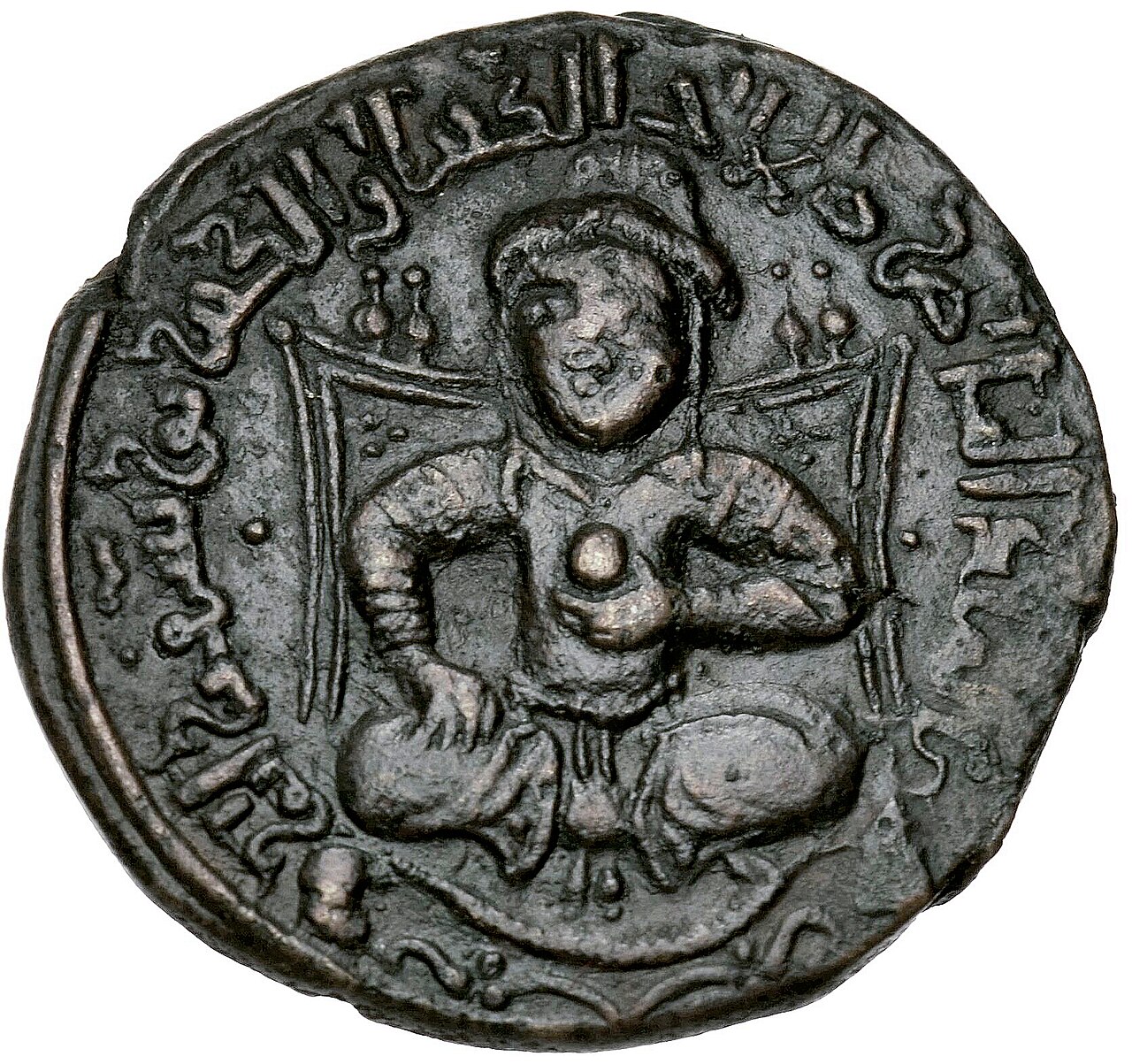 Artifact
Primary source
Dirham of Saladin
AH 586 (AD 1190-91)
 Painting
Secondary source
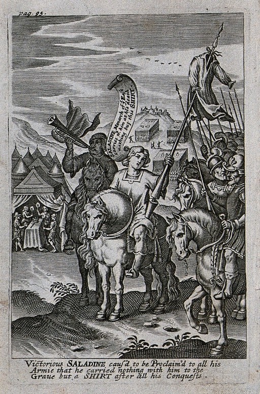
Saladin Proclaims He Will Take Only a Shirt to His Grave
John Payne · 1639
 Artifact
Primary source
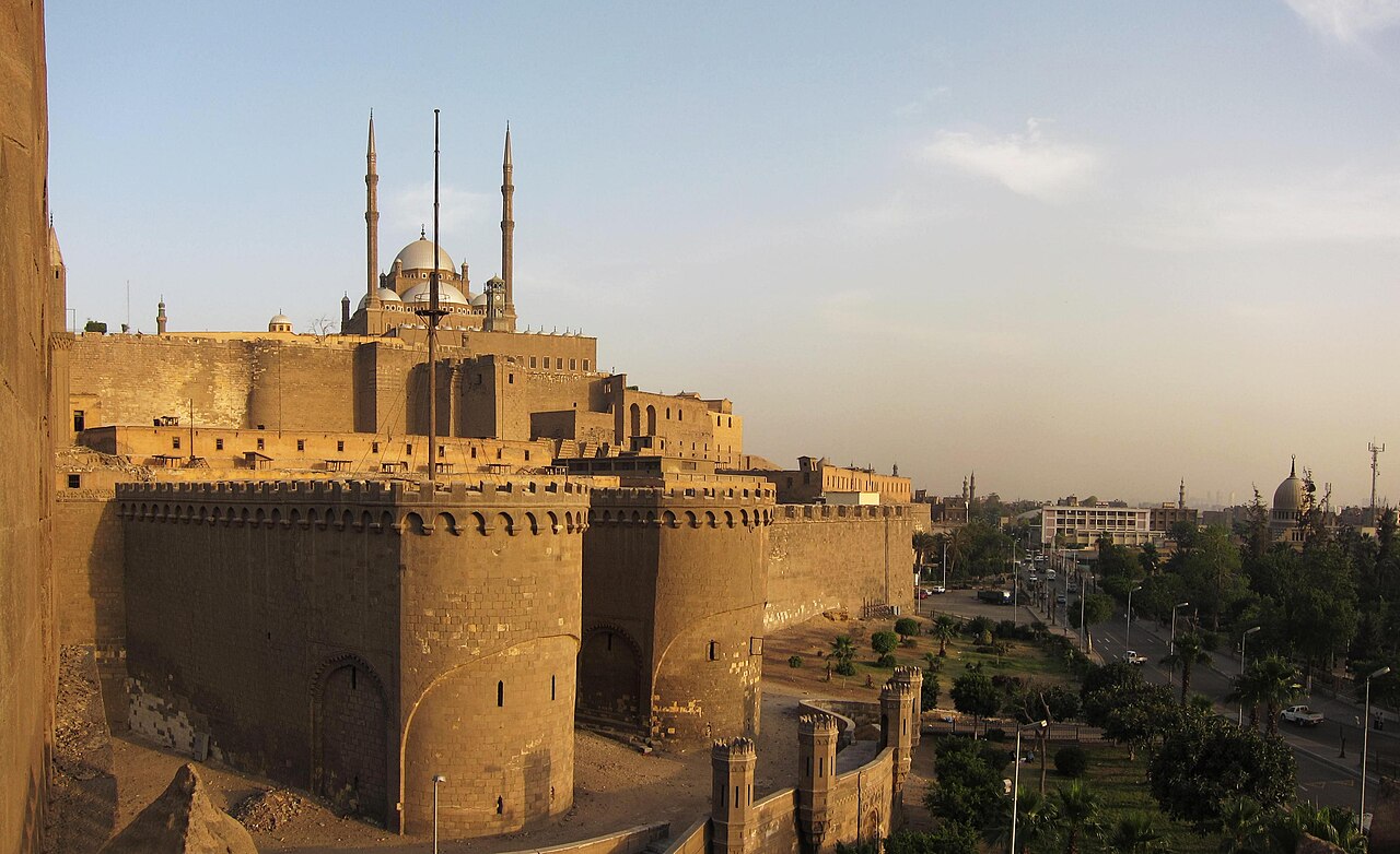
Cairo Citadel
Saladin · begun 1176
 Photograph
Secondary source
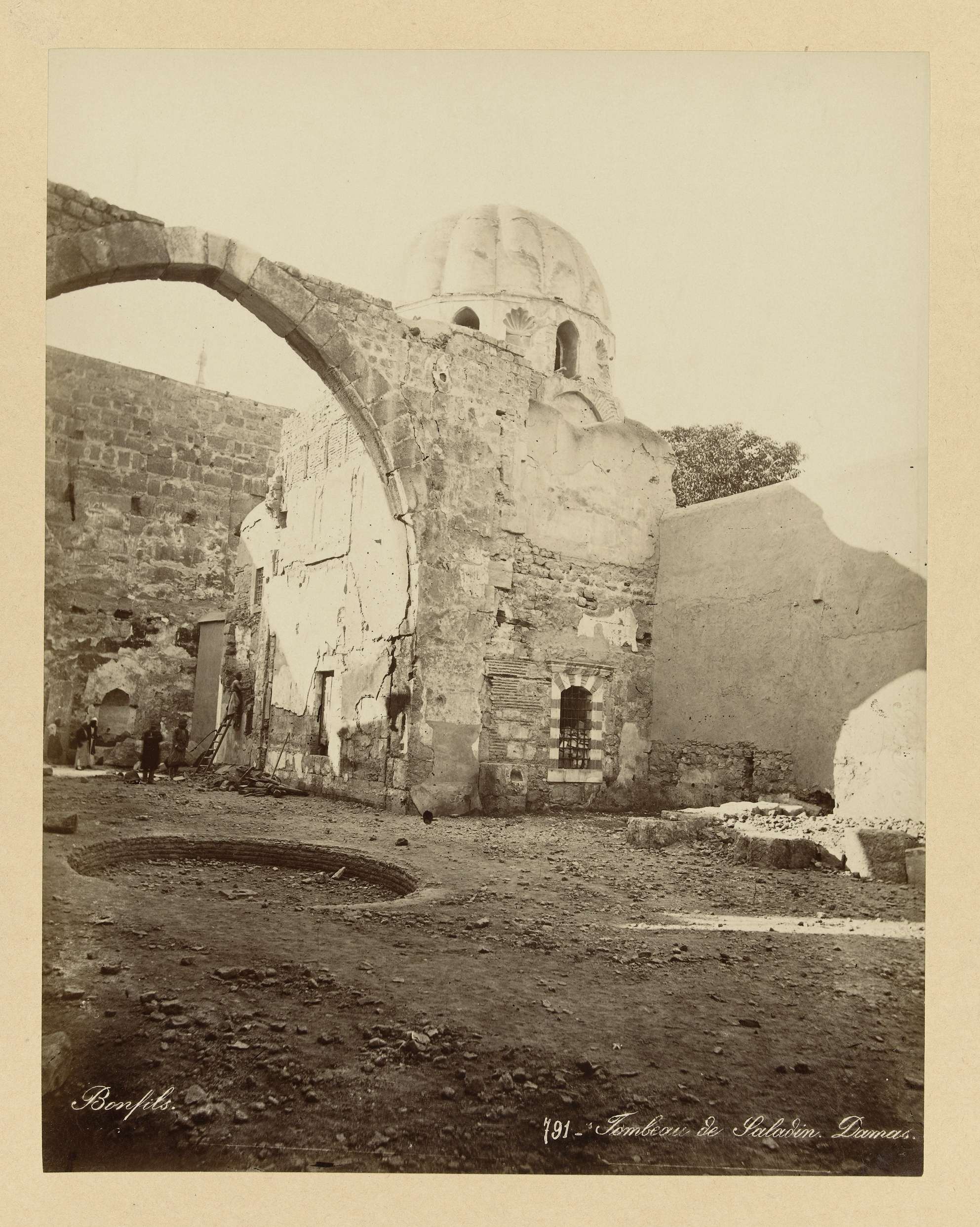
Tomb of Saladin, Damascus
 Painting
Secondary source
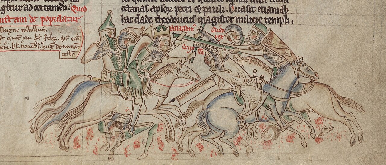
Saladin Seizing the True Cross from Guy of Lusignan
Matthew Paris
Ready when you are
Start chatting with Saladin now.
20 messages free · No credit card · Available in 50+ languages.