


Tertiary sourceDocument2010
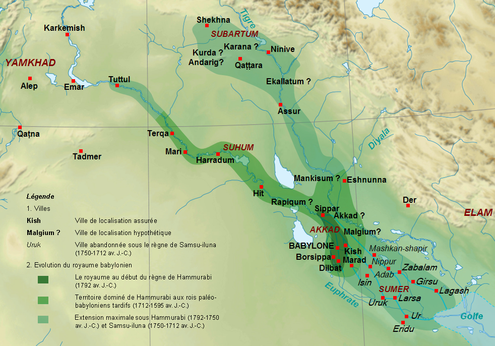
Map of the Babylonian Kingdom under Hammurabi and Samsu-iluna
Sémhur; Zunkir · 2010
A modern map showing the extent of the Babylonian kingdom during Hammurabi's reign and that of his son.
This map shows the territorial extent of the kingdom Hammurabi ruled and expanded.
About this source
What it is
This modern map, created by Wikipedia contributors Sémhur and Zunkir, shows the territory of the First Dynasty of Babylon from the start of Hammurabi's reign (1792 BCE) to the kingdom's fall in 1595 BCE. It marks the maximum extent of the kingdom under Hammurabi and his son Samsu-iluna.
Why it matters
The map helps show how far Hammurabi's power reached, including cities that were captured but perhaps not held for long, such as Tuttul, Nineveh and Shekhna. It gives context to Hammurabi's rule as more than just a lawgiver—he was also a conqueror who expanded Babylon's borders.
Look closer
- Why might a kingdom's borders be hard to pin down exactly, even for historians today?
- What does the map suggest about the difference between conquering a city and truly controlling it?
- How does mapping an ancient empire today depend on later evidence like clay tablets?
This document is part of the curated material that grounds the AI version of Hammurabi on Humy.ai — when students ask about related events, the AI can quote it and cite it.
More Hammurabi sources
Meet the AI Hammurabi →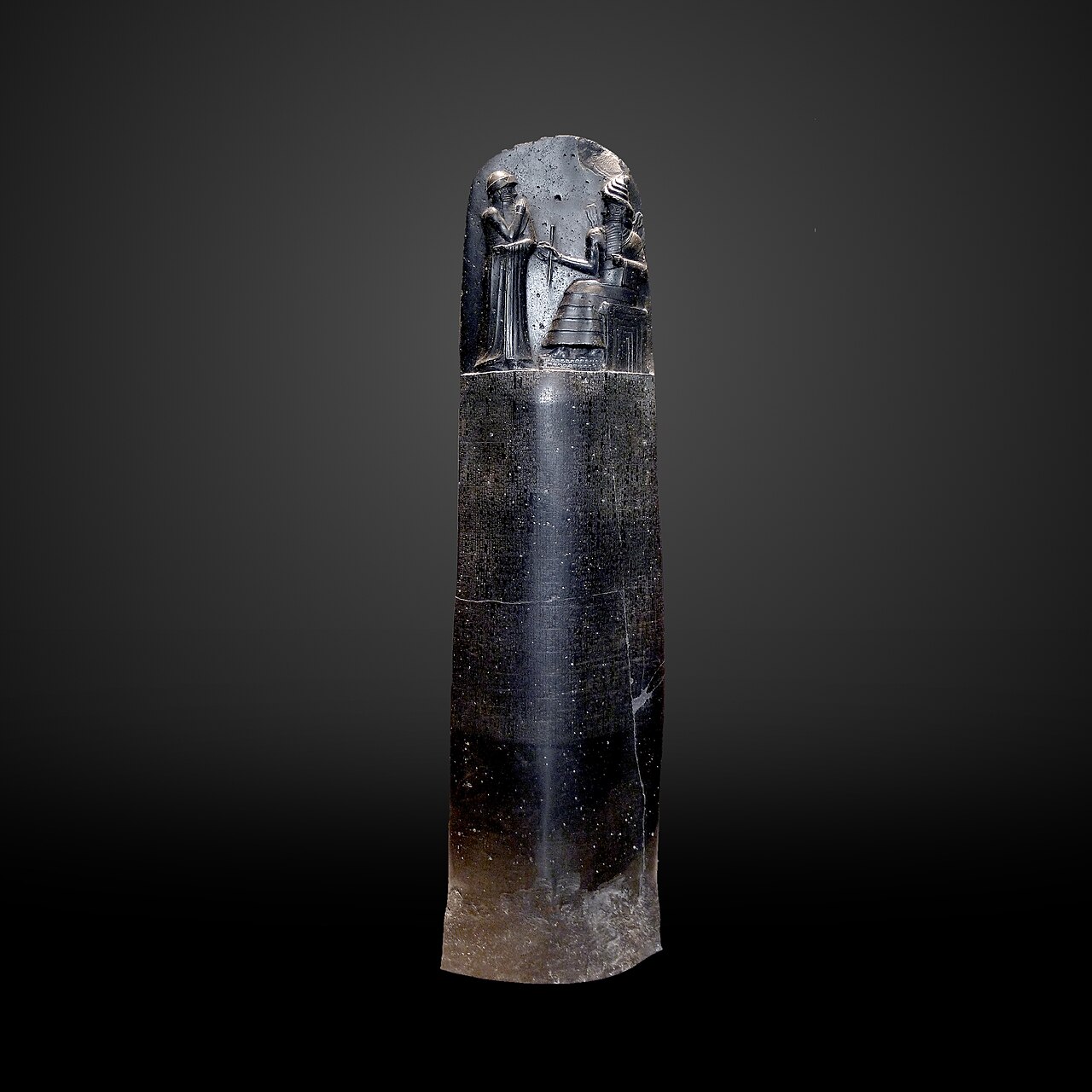 Document
Primary source
Code of Hammurabi
Hammurabi · c. 1753 BCE
 Sculpture
Primary source
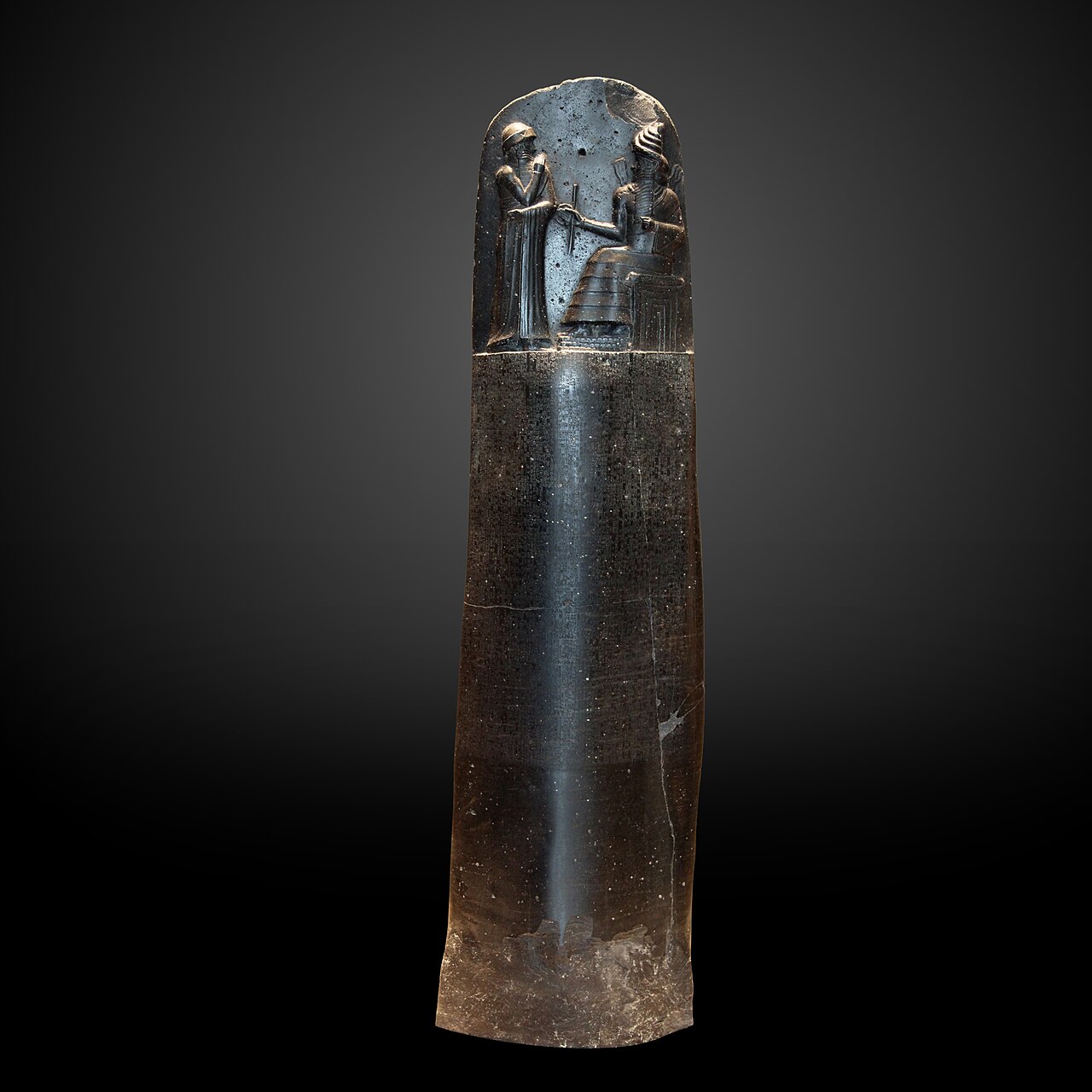
Stele with the Code of Hammurabi
Hammurabi · c. 1792 BCE
 Letter
Primary source
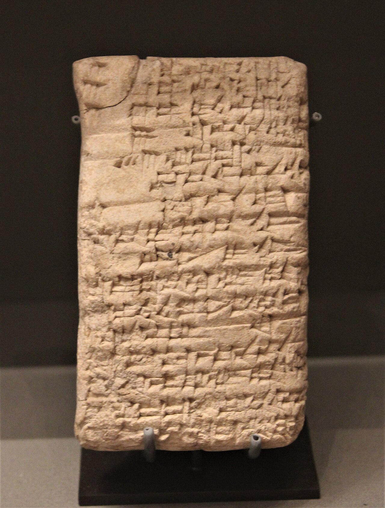
Letter from Hammurabi to Sîn-iddinam
Hammurabi · c. 1792-1750 BCE
 Document
Primary source
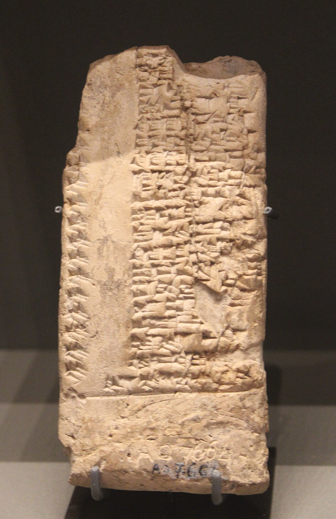
List of the year-names of Hammurabi's reign
Old Babylonian period, reign of Hammurabi (c. 1792-1750 BCE)
 Document
Secondary source
Chronicle of Early Kings
Babylonian scribes · c. 6th century BCE copy
Ready when you are
Start chatting with Hammurabi now.
20 messages free · No credit card · Available in 50+ languages.