


Secondary sourceArtifact2005
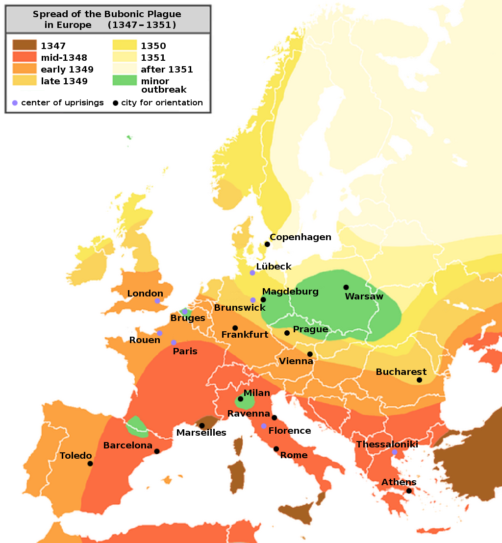
Map of the Bubonic Plague Spreading in Europe, 1347-1351
Roger Zenner, edited by Jaybear · 2005
A color-coded map showing the progressive spread of the bubonic plague across Europe between 1347 and 1351.
A modern map tracing the plague's spread and the unrest it triggered across Europe.
About this source
What it is
This is a modern map, originally created by Roger Zenner and later edited for readability, showing the spread of the bubonic plague across Europe between 1347 and 1351. It uses color shading from brown (1347) to pale yellow (after 1351) to show the pandemic's progress, with cities such as London, Paris, Rome, and Warsaw marked. The map notes that its borders show present-day boundaries, not those of the 1340s.
Why it matters
The map also marks purple dots for centers of uprisings, pointing to the social unrest that followed the plague's devastation. Visual tools like this help students see both the geographic spread of the disease and some of its social consequences across medieval Europe.
Look closer
- Why does the map warn that it uses modern borders rather than those of the 1340s?
- What might the purple dots for uprisings suggest about the plague's social effects?
- How does color shading help show the passage of time across a single map?
This artifact is part of the curated material that grounds the AI version of The Black Death on Humy.ai — when students ask about related events, the AI can quote it and cite it.
More The Black Death sources
Meet the AI The Black Death →Secondary source
The Decameron
Giovanni Boccaccio · 1351
Primary source
Statute of Labourers 1351
1351
 Painting
Primary source
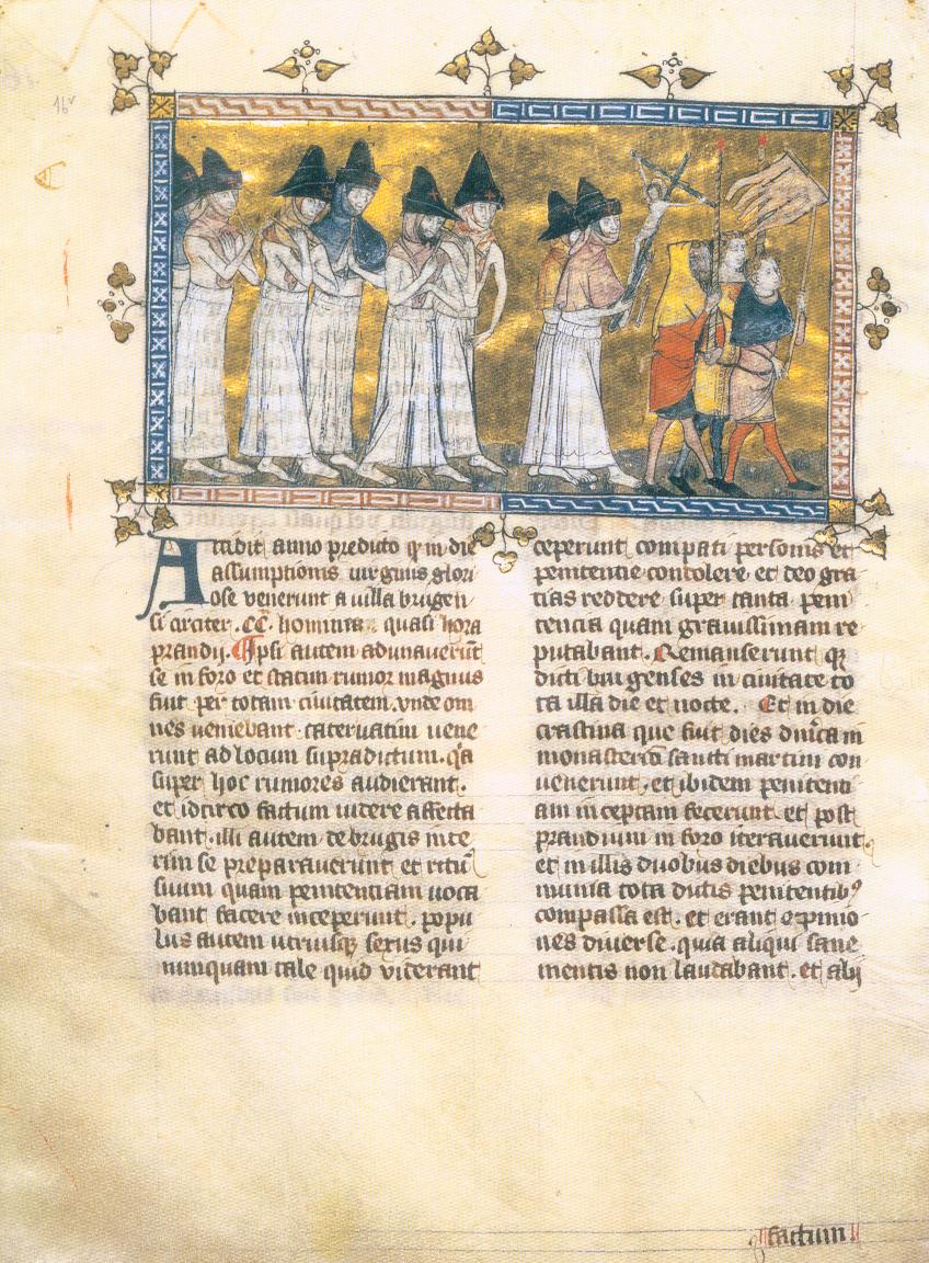
Depiction of the Flagellant Processions
Pierart dou Tielt · c. 1350
 Painting
Primary source
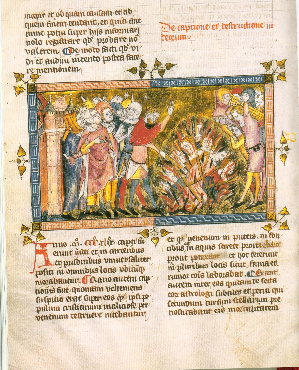
Execution of Jews
c. 1350
 Book
Primary source
The Annals of Ireland by Friar John Clyn
John Clyn · 1348-1349
Ready when you are
Start chatting with The Black Death now.
20 messages free · No credit card · Available in 50+ languages.