


Secondary sourceDocument2016
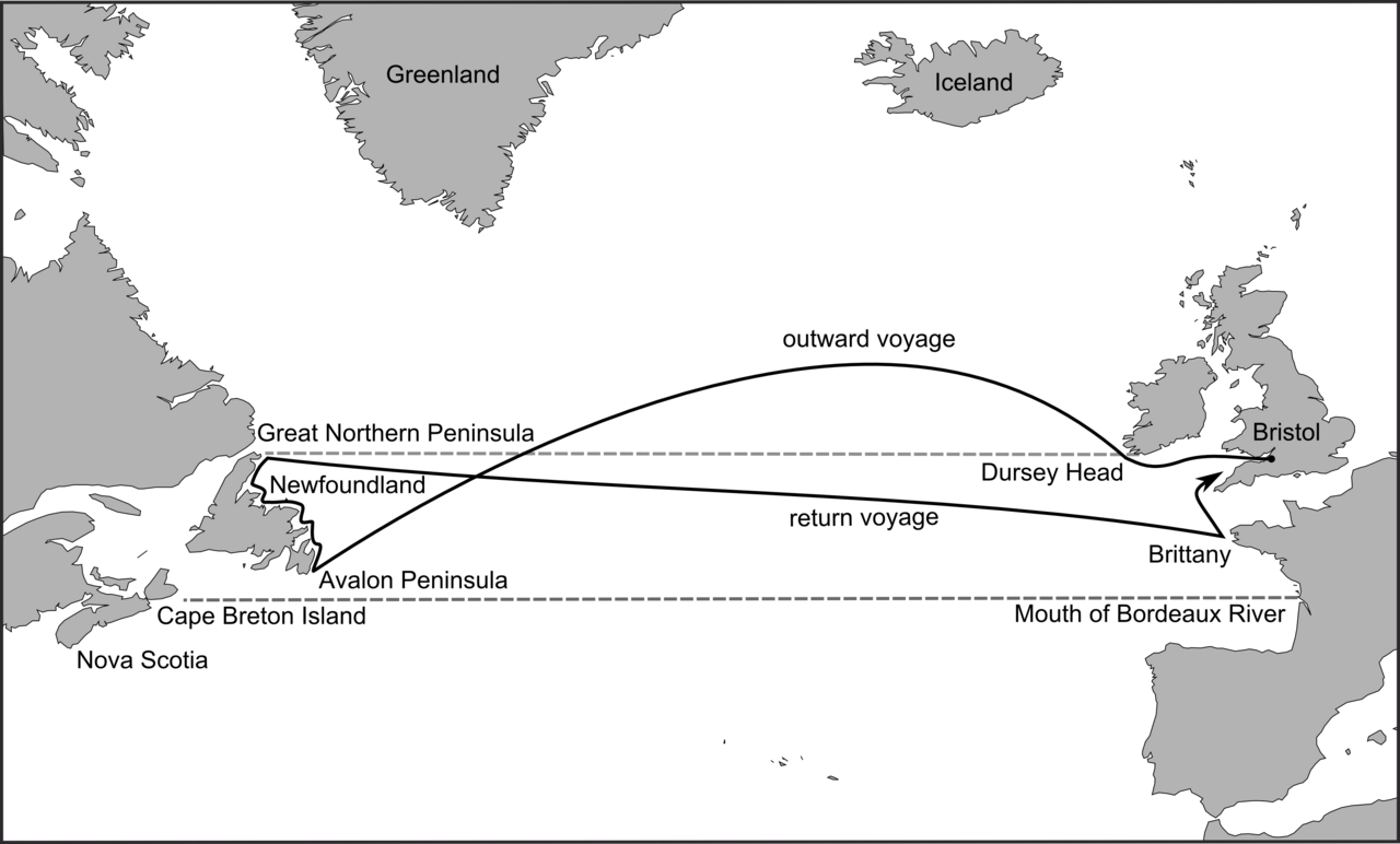
Map of the route of John Cabot's 1497 voyage
Evan T. Jones · 2016
A modern scholarly map reconstructing the route of Cabot's 1497 voyage across the North Atlantic on the ship Matthew.
This modern map reconstructs the probable route of Cabot's 1497 voyage, illustrating his famous Atlantic crossing.
About this source
What it is
This is a modern black-and-white map created by historian Evan T. Jones, published in 2016 with Margaret M. Condon's research on Bristol's age of discovery. It shows a proposed route for Cabot's 1497 voyage on the ship Matthew, from Bristol across the Atlantic to the Avalon Peninsula in Newfoundland, and back via Brittany.
Why it matters
This is not a historical document but a modern reconstruction based on later research into Cabot's voyage. It helps students visualize the scale and direction of Cabot's crossing, while reminding them that exact routes are still debated by historians.
Look closer
- Why might historians still debate the exact route Cabot took, more than 500 years later?
- What evidence might researchers use to reconstruct a route like this?
- How does seeing the voyage on a map change your understanding of the risks Cabot and his crew faced?
This document is part of the curated material that grounds the AI version of John Cabot (Giovanni Caboto) on Humy.ai — when students ask about related events, the AI can quote it and cite it.
More John Cabot (Giovanni Caboto) sources
Meet the AI John Cabot (Giovanni Caboto) →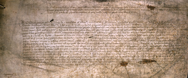 Document
Primary source
Letters Patent to John Cabot
Henry VII of England · 5 March 1496
 Document
Primary source
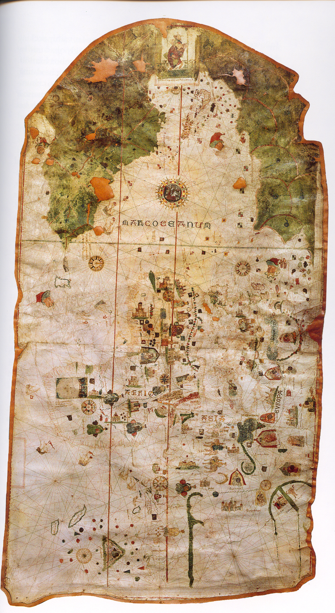
Map of Juan de la Cosa
Juan de la Cosa · 1500
 Document
Primary source
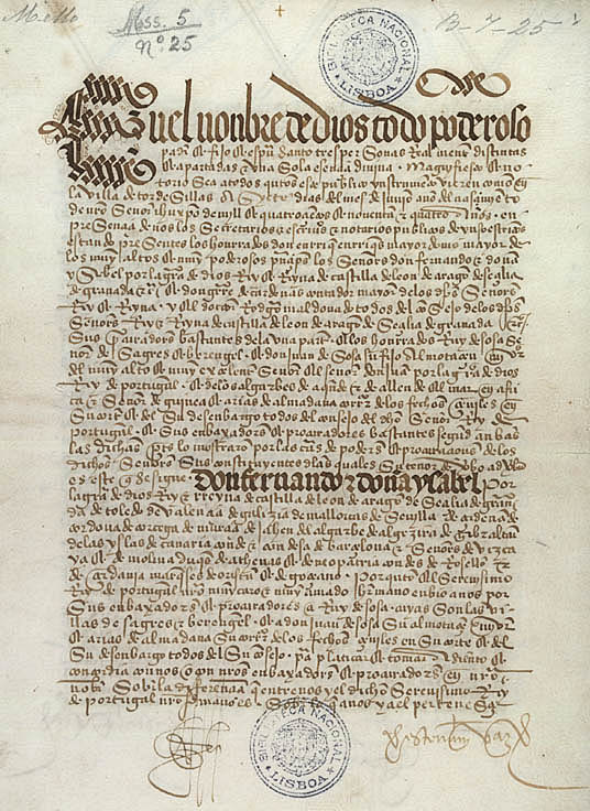
Treaty of Tordesillas
7 June 1494
 Artifact
Secondary source
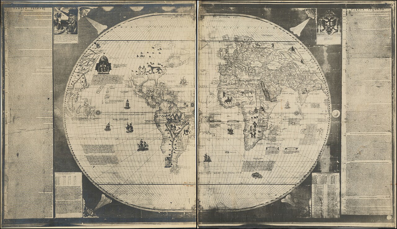
Sebastian Cabot's World Map of 1544
Sebastian Cabot · 1544
 Painting
Secondary source
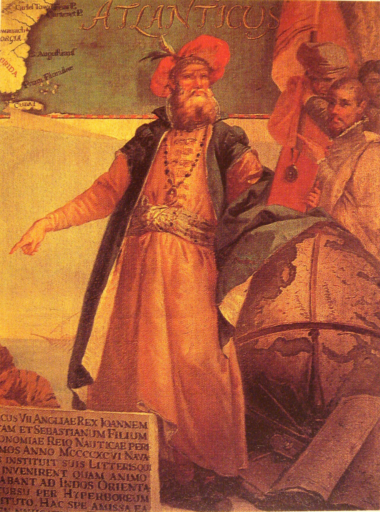
Portrait of John Cabot
Ready when you are
Start chatting with John Cabot (Giovanni Caboto) now.
20 messages free · No credit card · Available in 50+ languages.