


Tertiary sourceArtifact2026
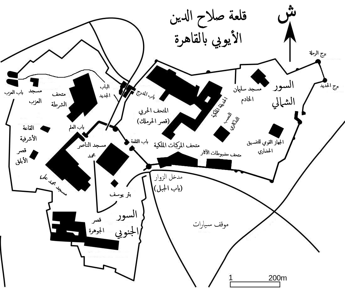
Map of the Saladin Citadel in Cairo
Néfermaât; Malyszkz; Robert Prazeres · 2026
A modern Arabic-language map showing the layout of the Citadel of Cairo, the fortress built under Saladin's rule.
Shows the layout of the Cairo Citadel, the fortress traditionally linked to Saladin's reign.
About this source
What it is
This is a modern line map, labelled in Arabic, showing the walls, gates, and main sectors of the Citadel of Cairo, along with a scale bar and north arrow. It was created recently by Commons contributors to illustrate the site's layout.
Why it matters
The Citadel is associated with Saladin's rule in Egypt, and this map helps locate its structure today. As a modern diagram rather than a historical document, it is useful for understanding the surviving fortress rather than for direct evidence of Saladin's own time.
Look closer
- What can a map like this tell you that a photograph cannot?
- Why might historians need to know the layout of a site connected to a historical figure?
- What is missing from a map that you would need other sources to understand, such as who lived or worked there?
This artifact is part of the curated material that grounds the AI version of Saladin on Humy.ai — when students ask about related events, the AI can quote it and cite it.
More Saladin sources
Meet the AI Saladin →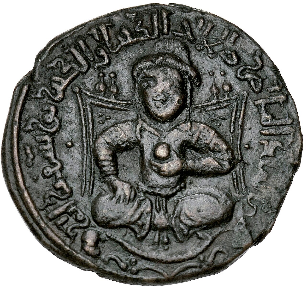 Artifact
Primary source
Dirham of Saladin
AH 586 (AD 1190-91)
 Painting
Secondary source
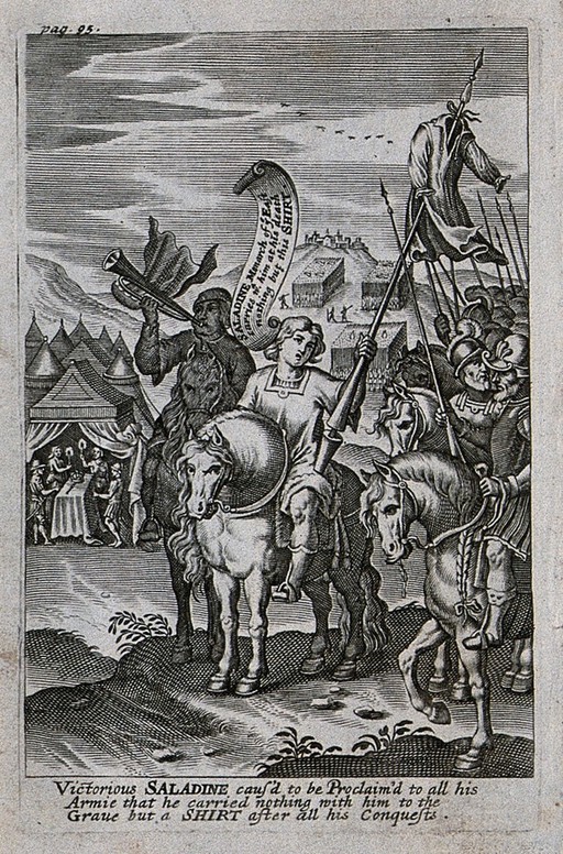
Saladin Proclaims He Will Take Only a Shirt to His Grave
John Payne · 1639
 Artifact
Primary source
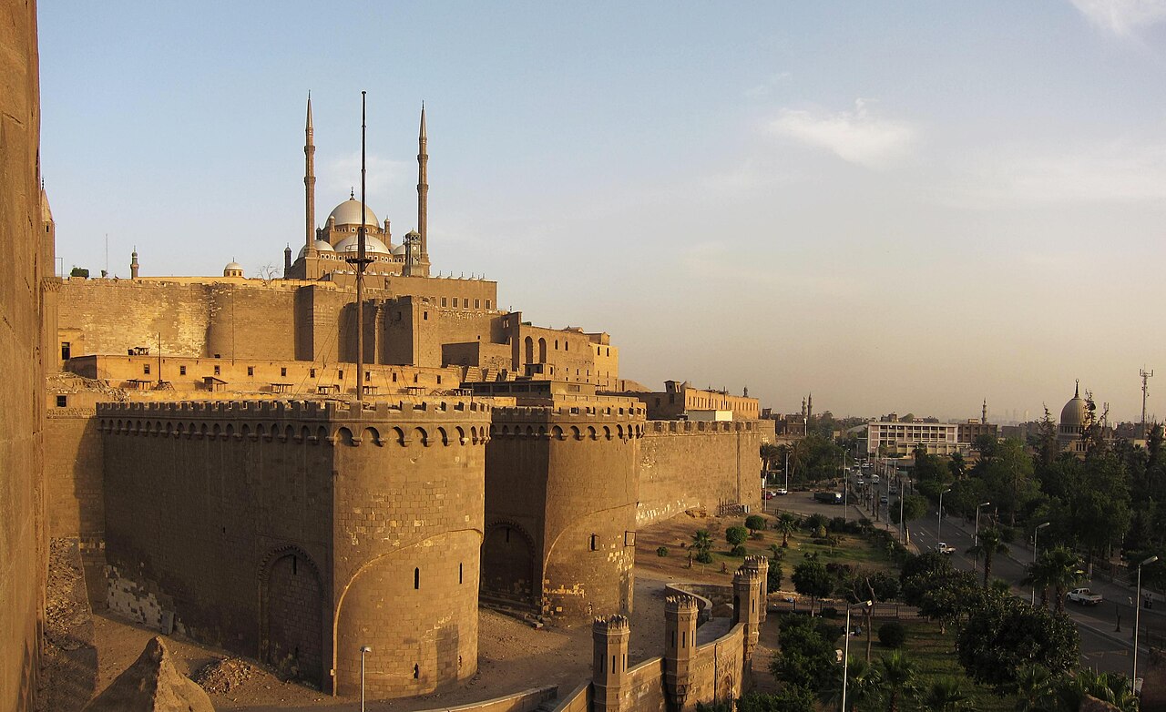
Cairo Citadel
Saladin · begun 1176
 Photograph
Secondary source
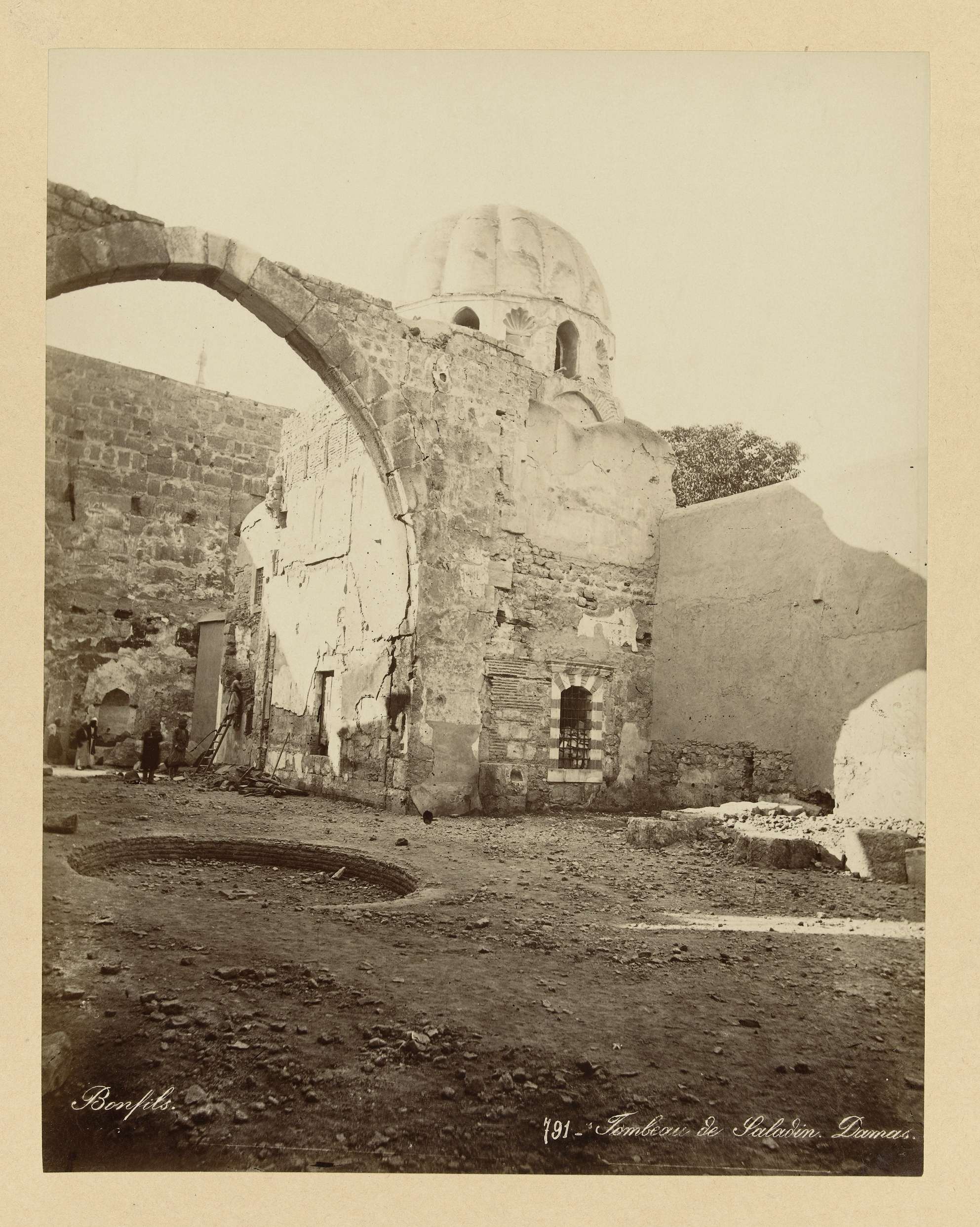
Tomb of Saladin, Damascus
 Painting
Secondary source
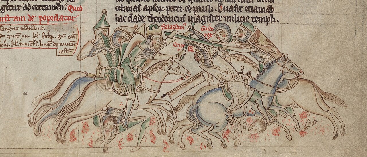
Saladin Seizing the True Cross from Guy of Lusignan
Matthew Paris
Ready when you are
Start chatting with Saladin now.
20 messages free · No credit card · Available in 50+ languages.