


Primary sourceDocument1781
Map of Virginia Showing Where the British Army Was Captured, 1781
Esnauts et Rapilly · 1781
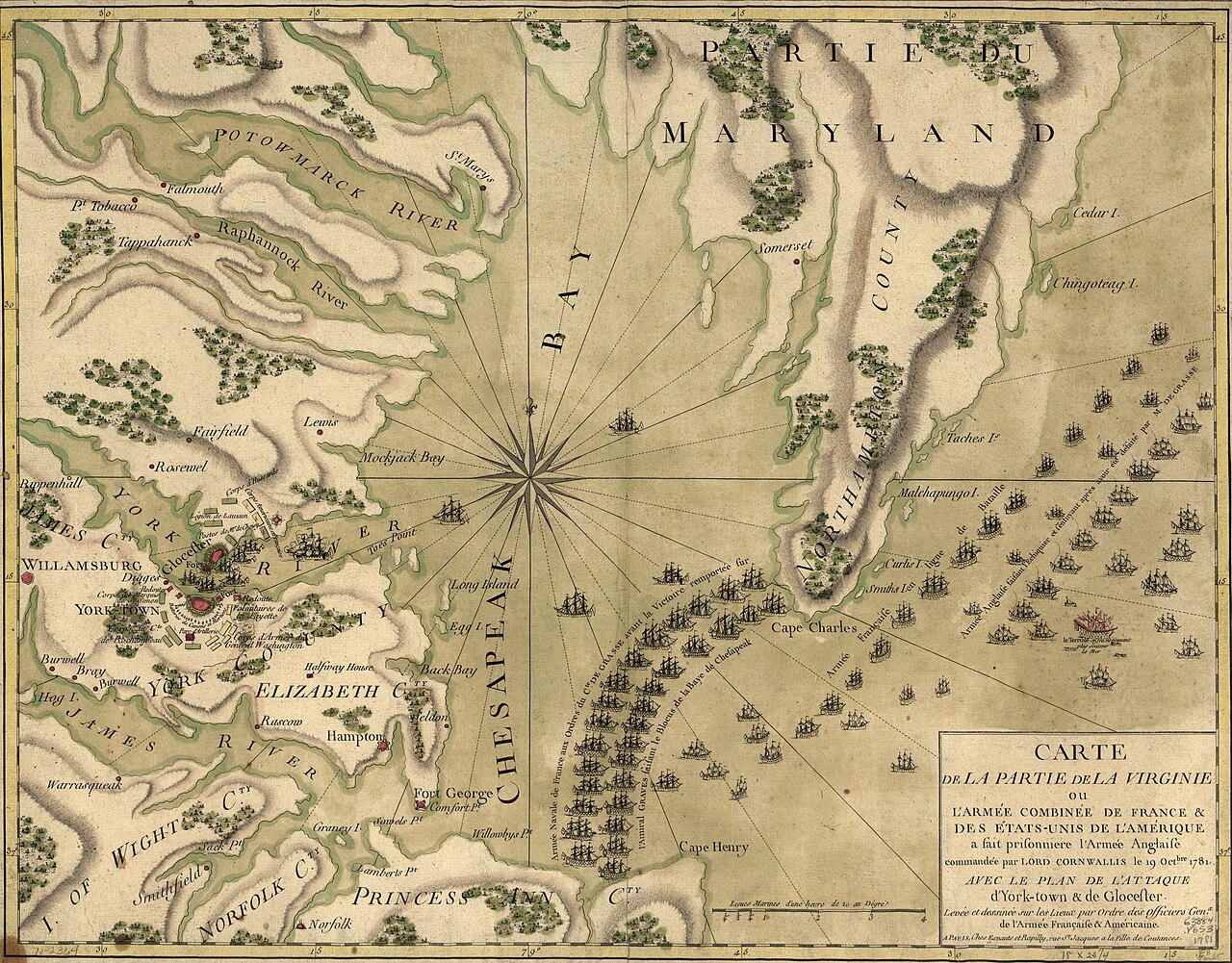
A hand-colored 1781 French map of the Chesapeake Bay region where Cornwallis surrendered, the victory the figure's spying helped bring about.
This map marks the location of the British surrender, the outcome the figure's intelligence work helped bring about.
About this source
What it is
This hand-colored map, published by Esnauts et Rapilly in 1781, shows the Chesapeake Bay and Virginia coast, with place names, rivers, hachured terrain, a compass rose, and ships representing the fleets positioned in the bay.
It is held in a Library of Congress collection of maps of North America.
Why it matters
This map was made to show the public where the British army was trapped and captured, a decisive turning point in the Revolutionary War. The intelligence James Armistead gathered while spying for the American side helped shape the strategy that led to this capture.
Look closer
- Why would a mapmaker choose to show ships and fleets pictorially rather than just the land?
- What might this map have meant to people reading it in France shortly after the events?
- What role, like spying, is invisible on a map that only shows ships and coastlines?
This document is part of the curated material that grounds the AI version of James Armistead Lafayette on Humy.ai — when students ask about related events, the AI can quote it and cite it.
More James Armistead Lafayette sources
Meet the AI James Armistead Lafayette →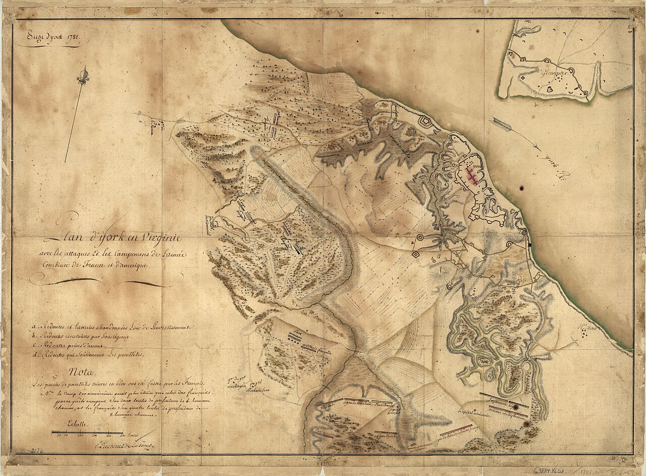 Document
Primary source
Siege of York, 1781: Plan of Franco-American Siege Works
Querenet De La Combe · 1781
 Document
Primary source
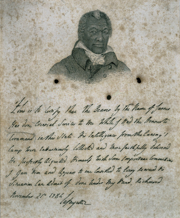
Certificate for James Armistead Lafayette
Marquis de Lafayette · 21 November 1784
 Document
Primary source
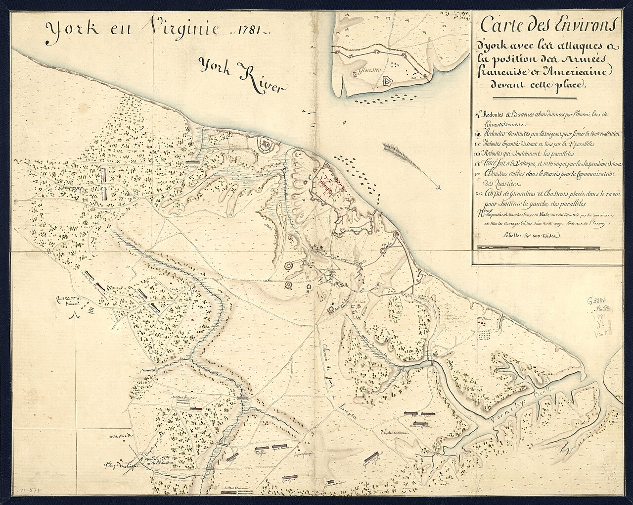
York en Virginie, 1781: Map of Franco-American Positions at York
1781
 Painting
Primary source
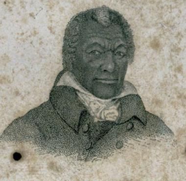
Portrait of James Armistead Lafayette
John B. Martin · c. 1824
 Document
Primary source
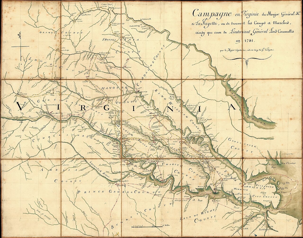
Campaign of the Marquis de Lafayette in Virginia, 1781
Michel Capitaine Du Chesnoy · 1781
Ready when you are
Start chatting with James Armistead Lafayette now.
20 messages free · No credit card · Available in 50+ languages.