


Secondary sourceDocument2007
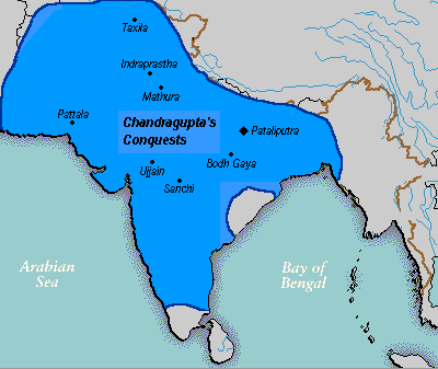
Maurya Empire Map After Bindusara's Death
Jagged 85 · 2007
A map showing the extent of the Maurya Empire shortly after Chandragupta Maurya's grandson Bindusara's death, illustrating the territory Chandragupta first conquered.
Depicts the territorial extent of the empire Chandragupta Maurya founded, as it stood after his grandson Bindusara's death.
About this source
What it is
This is a modern map of the Indian subcontinent showing the extent of the Maurya Empire after the death of Bindusara, Chandragupta Maurya's successor's successor. It labels major cities including Pataliputra, the Maurya capital, and Taxila.
Why it matters
Although drawn to show the empire's size after Bindusara's reign, the map traces territory that began with Chandragupta Maurya's conquests. It helps students visualize how far his empire stretched across the subcontinent, from near the Arabian Sea to the Bay of Bengal.
Look closer
- Why might a map made for a later ruler still be useful for understanding the empire Chandragupta founded?
- What do the labeled cities tell you about the empire's reach and importance?
- What information does a map like this leave out about daily life or conflict within the empire?
This document is part of the curated material that grounds the AI version of Chandragupta Maurya on Humy.ai — when students ask about related events, the AI can quote it and cite it.
More Chandragupta Maurya sources
Meet the AI Chandragupta Maurya →Secondary source
Arthashastra
Chanakya (traditional attribution) · c. 1st–3rd century CE (traditionally attributed to Chanakya, c. 300 BCE)
 Document
Secondary source
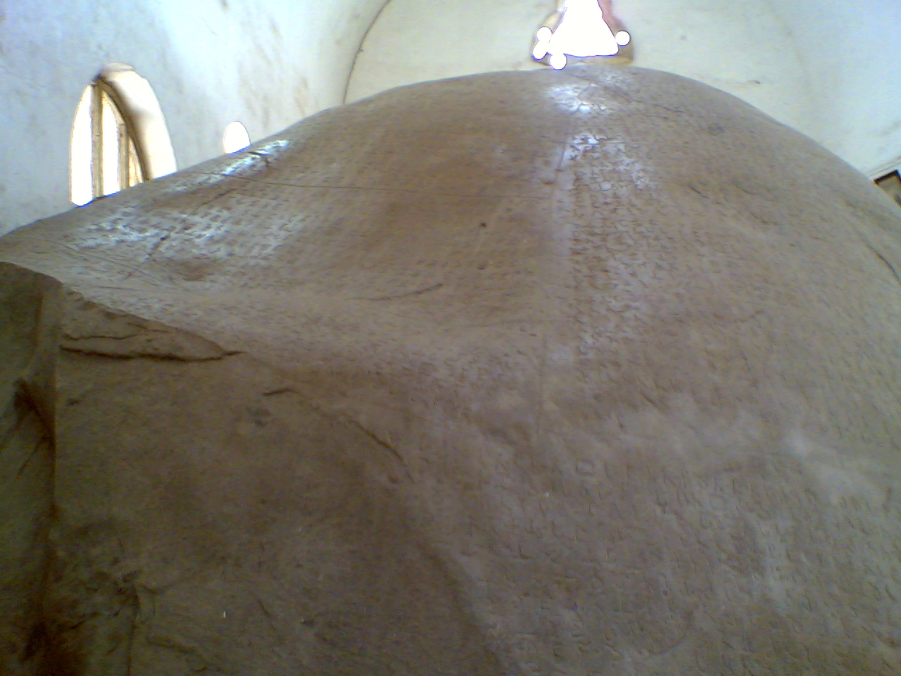
Junagadh Rock Inscription of Rudradaman
Rudradaman I (commissioner) · shortly after 150 CE
 Book
Secondary source
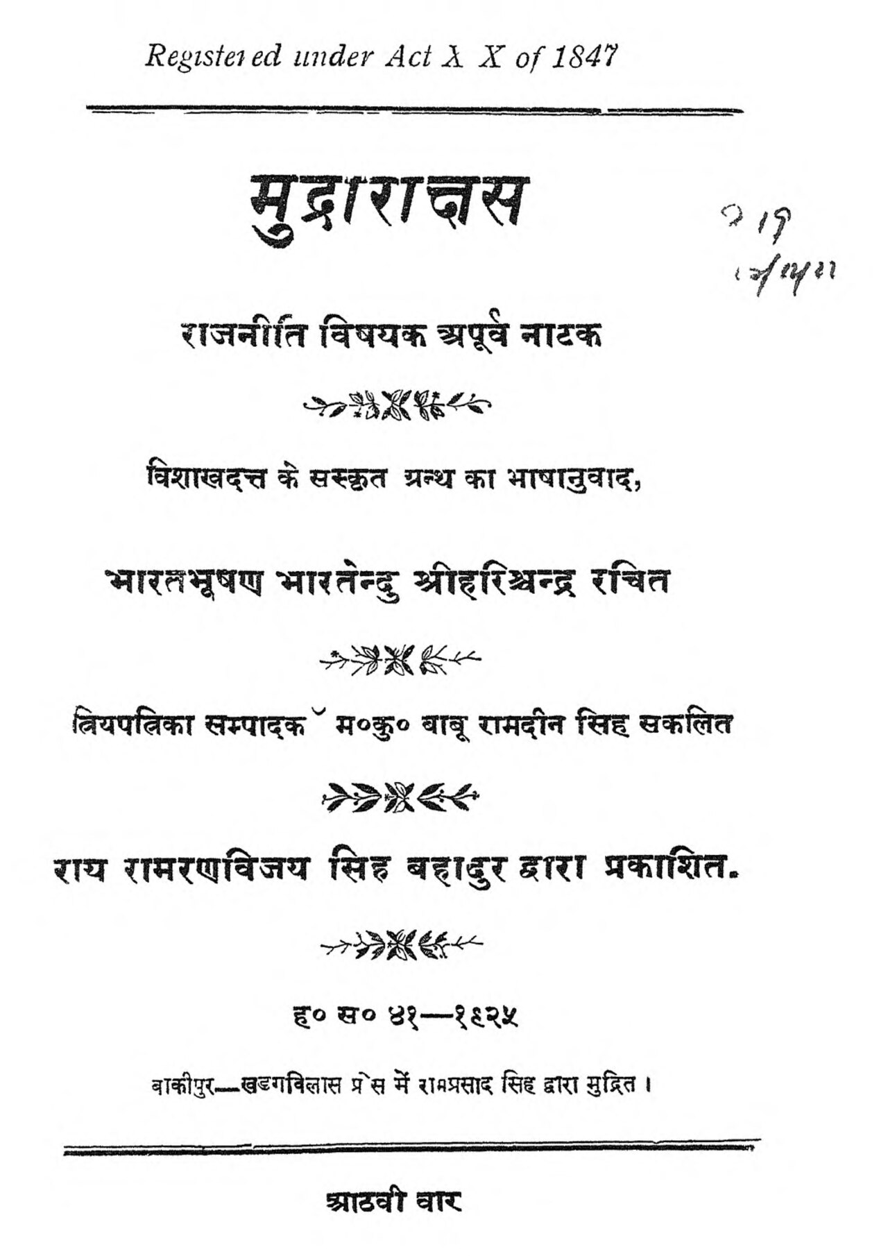
Mudrarakshasa
Vishakhadatta · between the 4th and 8th century CE
 Document
Primary source
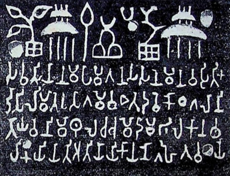
Sohgaura Copper Plate Inscription
3rd century BCE
 Document
Secondary source
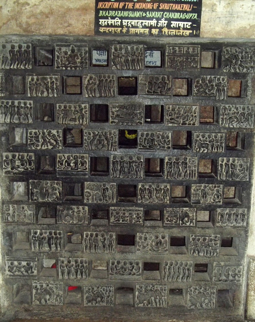
Shravanabelagola Inscription of Bhadrabahu and Chandragupta
Ready when you are
Start chatting with Chandragupta Maurya now.
20 messages free · No credit card · Available in 50+ languages.