


Secondary sourceArtifact2024 (depicting c. 300 BCE)
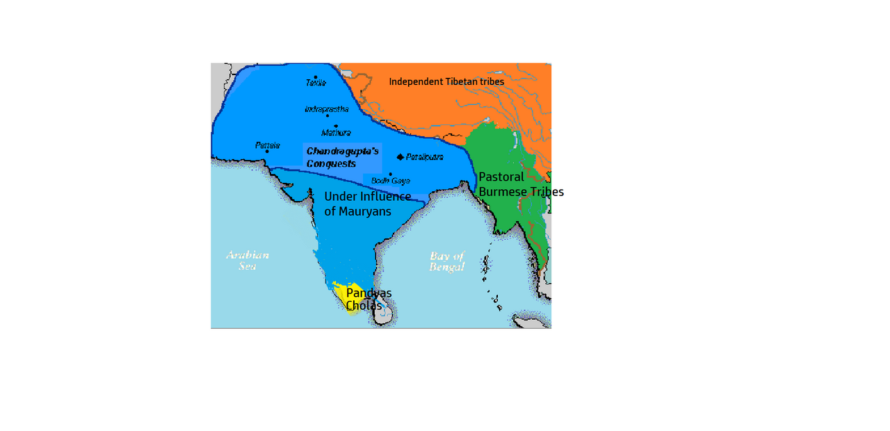
Mauryan Empire Map, 300 BCE
Edasf · 2024 (depicting c. 300 BCE)
A modern map showing the extent of the Mauryan Empire founded by Chandragupta Maurya around 300 BCE.
This map illustrates the empire Chandragupta Maurya founded and the territory he controlled.
About this source
What it is
This is a modern, digitally made map showing the Mauryan Empire around 300 BCE. It marks the area of Chandragupta's conquests and influence across northern and central India, with cities like Taxila, Pataliputra, and Mathura labeled, along with neighboring peoples and seas.
Why it matters
The map helps show the scale of the empire Chandragupta Maurya built, stretching across much of the Indian subcontinent. It reflects how historians today reconstruct ancient political geography using later sources, not a document from his own time.
Look closer
- What does the size of the blue area tell you about Chandragupta's power?
- Why might modern mapmakers need to guess at some borders?
- What is left out of this map that might have mattered to the people living there?
This artifact is part of the curated material that grounds the AI version of Chandragupta Maurya on Humy.ai — when students ask about related events, the AI can quote it and cite it.
More Chandragupta Maurya sources
Meet the AI Chandragupta Maurya →Secondary source
Arthashastra
Chanakya (traditional attribution) · c. 1st–3rd century CE (traditionally attributed to Chanakya, c. 300 BCE)
 Document
Secondary source
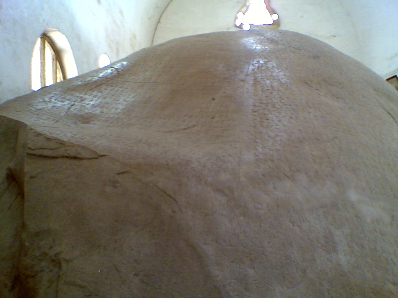
Junagadh Rock Inscription of Rudradaman
Rudradaman I (commissioner) · shortly after 150 CE
 Book
Secondary source
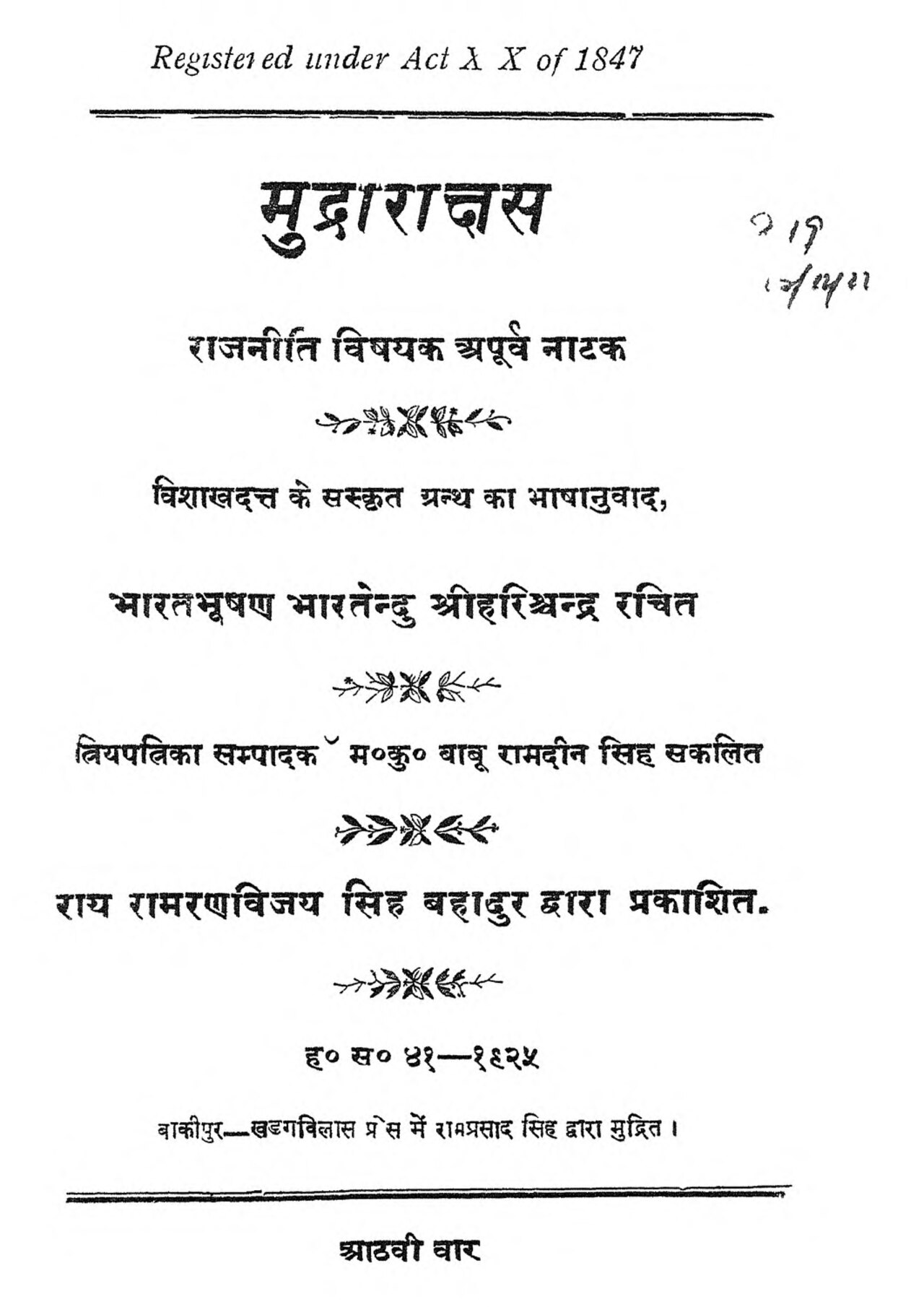
Mudrarakshasa
Vishakhadatta · between the 4th and 8th century CE
 Document
Primary source
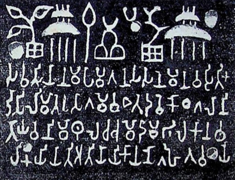
Sohgaura Copper Plate Inscription
3rd century BCE
 Document
Secondary source
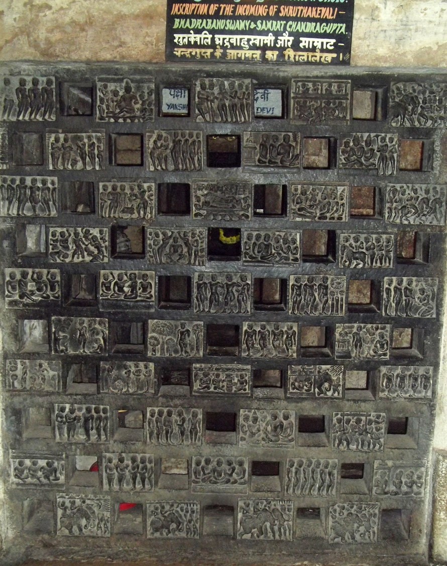
Shravanabelagola Inscription of Bhadrabahu and Chandragupta
Ready when you are
Start chatting with Chandragupta Maurya now.
20 messages free · No credit card · Available in 50+ languages.