


Secondary sourceDocument2012
Order of Battle at the Siege of Constantinople, 1453
Spartan 117 · 2012
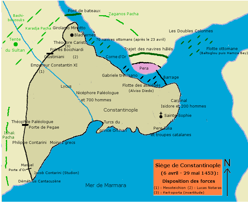
A modern French-language map showing the deployment of Ottoman and Byzantine forces during the 1453 siege that ended Constantine XI's reign.
Shows the military deployment during the siege that Constantine XI commanded and died defending.
About this source
What it is
This is a modern diagram, made in 2012, showing the order of battle during the siege of Constantinople (6 April – 29 May 1453). It marks the walled city, the Golden Horn, the Ottoman camp, the Sultan's tent, the bridge of boats and the Byzantine defenders, including their Italian and Catalan commanders.
Why it matters
The map is a later reconstruction, not a document from 1453, but it helps explain the military situation that Emperor Constantine XI Palaiologos faced as he organised the city's last defence with his allies.
Look closer
- What does the map tell you about the size and position of each side's forces?
- Why might modern historians still disagree about exact troop numbers?
- What is missing from a map like this that a written account might show?
This document is part of the curated material that grounds the AI version of Constantine XI Palaiologos on Humy.ai — when students ask about related events, the AI can quote it and cite it.
More Constantine XI Palaiologos sources
Meet the AI Constantine XI Palaiologos →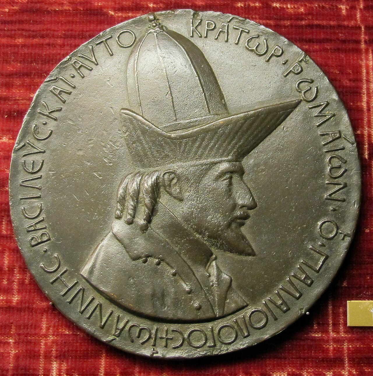 Sculpture
Primary source
Medal of John VIII Palaiologos
Pisanello · 1438-1439
 Painting
Secondary source
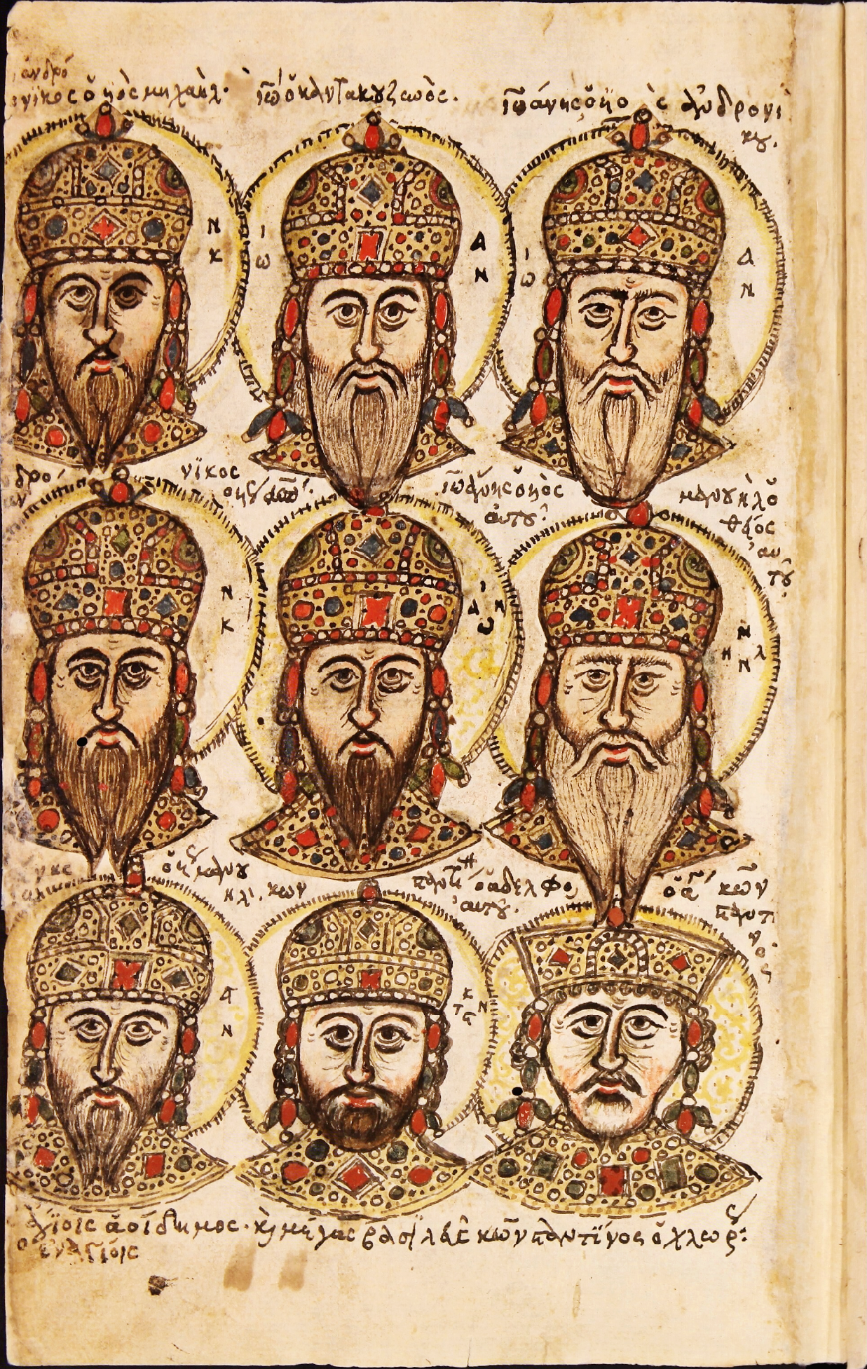
Zonaras Chronicle Portrait Folio
Unknown Byzantine scribes
 Painting
Secondary source
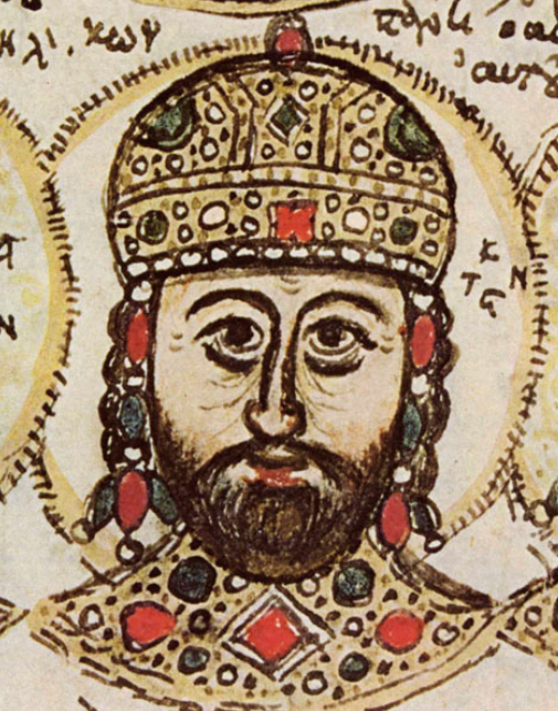
Portrait of Constantine XI Palaiologos in the Mutinensis gr. 122 Codex
Unknown Byzantine artist · 15th century
 Artifact
Primary source
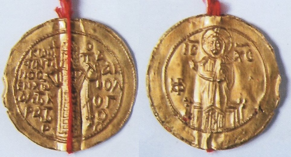
Gold Seal of Constantine XI for Ragusa
1451
 Photograph
Secondary source
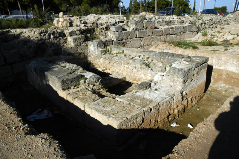
Hexamilion Wall Ruins Across the Corinth Isthmus
Nefasdicere
Ready when you are
Start chatting with Constantine XI Palaiologos now.
20 messages free · No credit card · Available in 50+ languages.