


Secondary sourceDocument1354
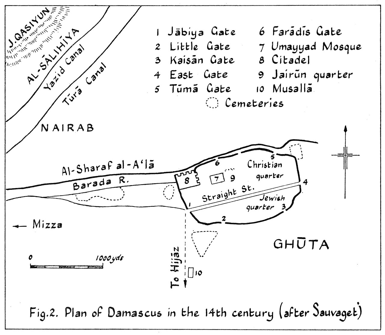
Plan of Damascus in the 14th Century
1354
A modern reconstructed plan of Damascus as it stood when Ibn Battuta visited the city in the 14th century.
This plan reconstructs the Damascus that Ibn Battuta described visiting in his travel account.
About this source
What it is
This is a modern hand-drawn plan, labeled 'Fig. 2', reconstructing 14th-century Damascus. It shows the city walls, ten numbered gates, the Umayyad Mosque, the citadel, the Christian and Jewish quarters, Straight Street, the Barada River, canals and cemeteries, based on the work of scholar Sauvaget.
Why it matters
This plan helps readers picture the city Ibn Battuta actually walked through, with its mosques, markets and different religious quarters. It shows how historians combine archaeology and old texts, including travelers' accounts like Ibn Battuta's, to rebuild the layout of a medieval city.
Look closer
- Why might a historian include both Christian and Jewish quarters on a plan of an Islamic city?
- What does the presence of mosques, a citadel and markets tell you about life in 14th-century Damascus?
- How might Ibn Battuta's own writings have helped create this plan?
This document is part of the curated material that grounds the AI version of Ibn Battuta on Humy.ai — when students ask about related events, the AI can quote it and cite it.
More Ibn Battuta sources
Meet the AI Ibn Battuta →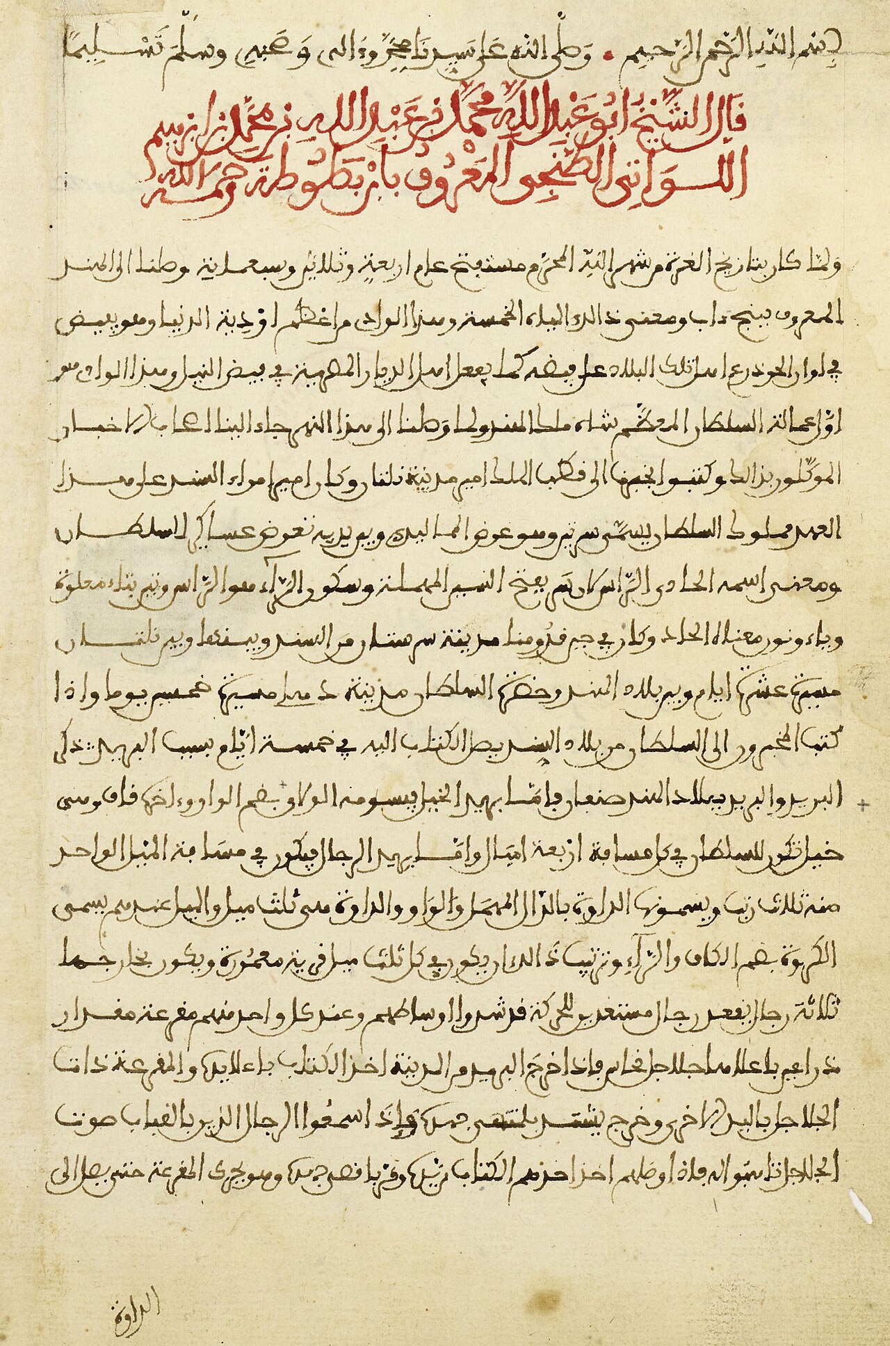 Book
Primary source
The Rihla
Ibn Battuta · 1354-1356
 Book
Primary source
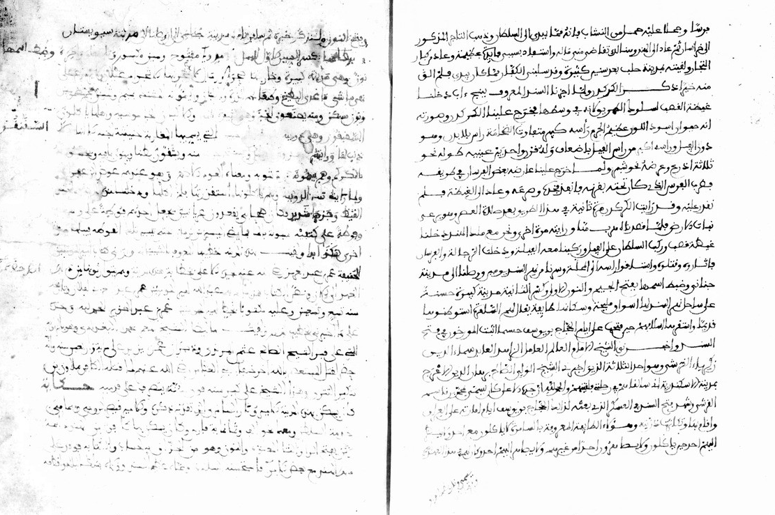
Manuscript of the Rihla by Ibn Juzayy
Ibn Juzayy · 14th century
 Artifact
Secondary source
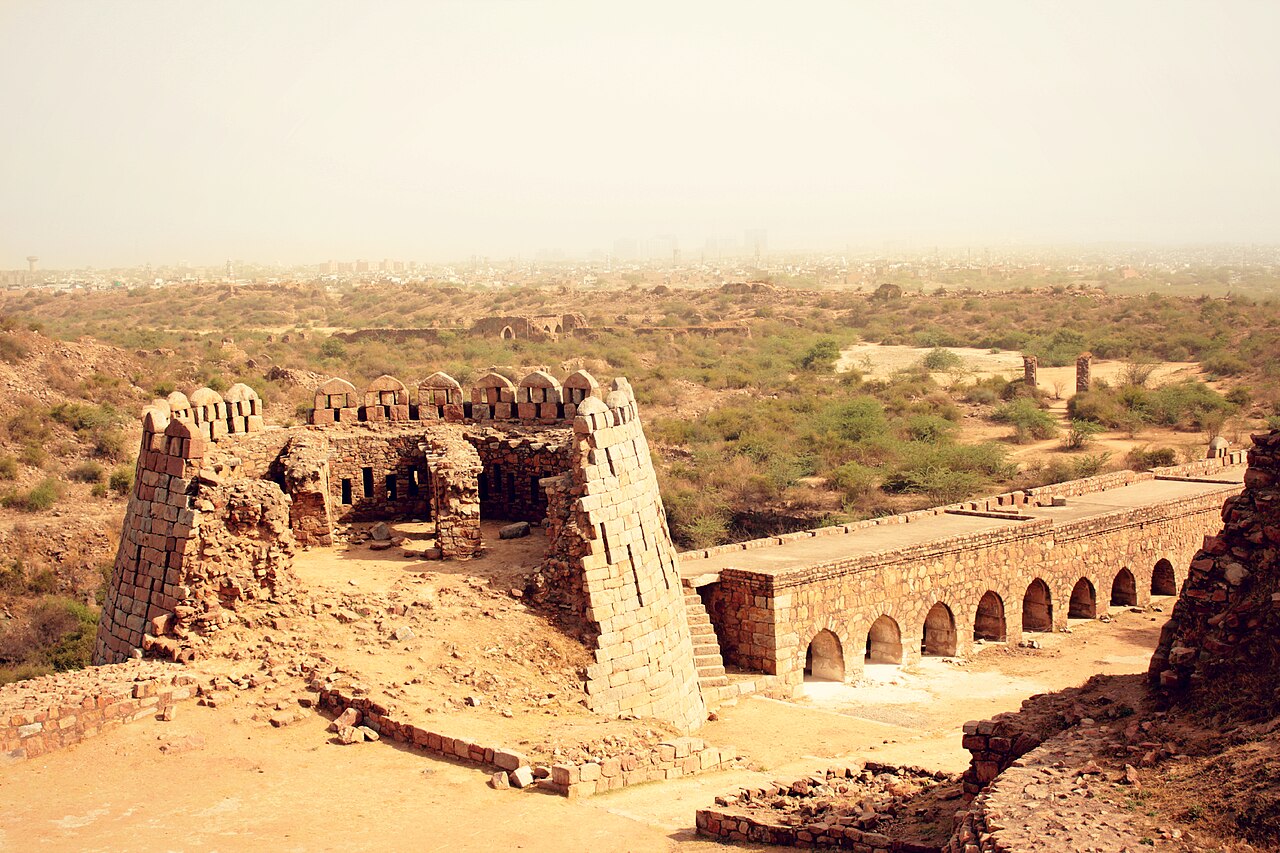
Tughlaqabad Fort
Ghiyath al-Din Tughluq · 1321
 Book
Secondary source
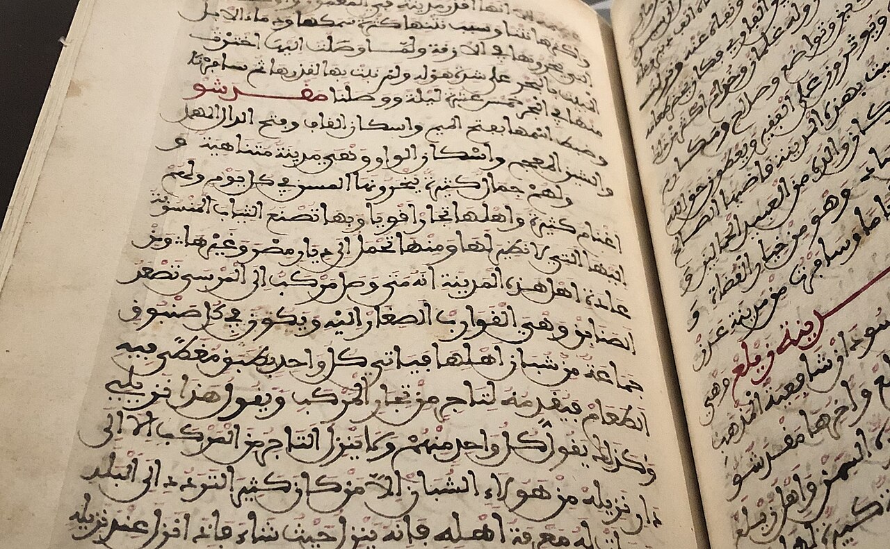
Manuscript copy of the Rihla (1484)
Ibn Juzayy · 1484
 Painting
Primary source
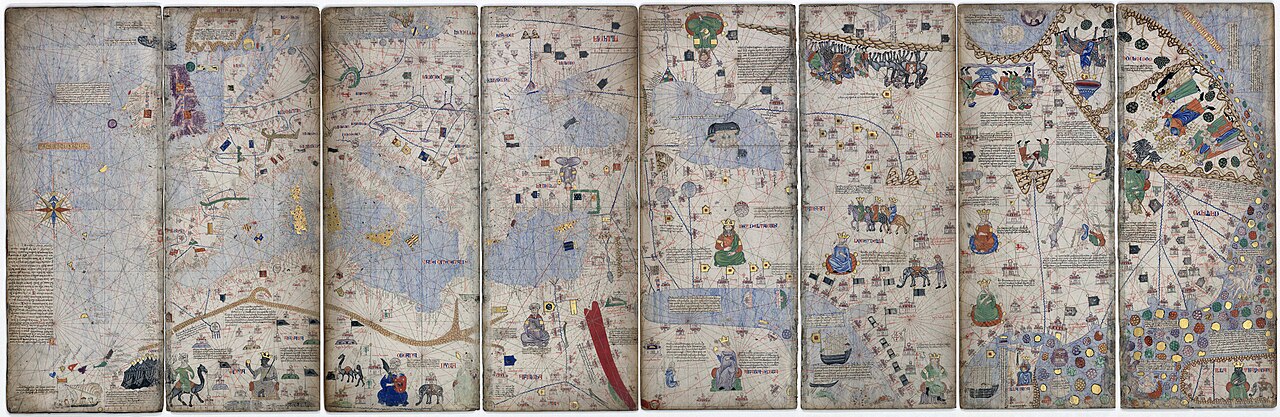
Catalan Atlas
Cresques Abraham · c. 1375
Ready when you are
Start chatting with Ibn Battuta now.
20 messages free · No credit card · Available in 50+ languages.