


Primary sourceDocument12 June 1354
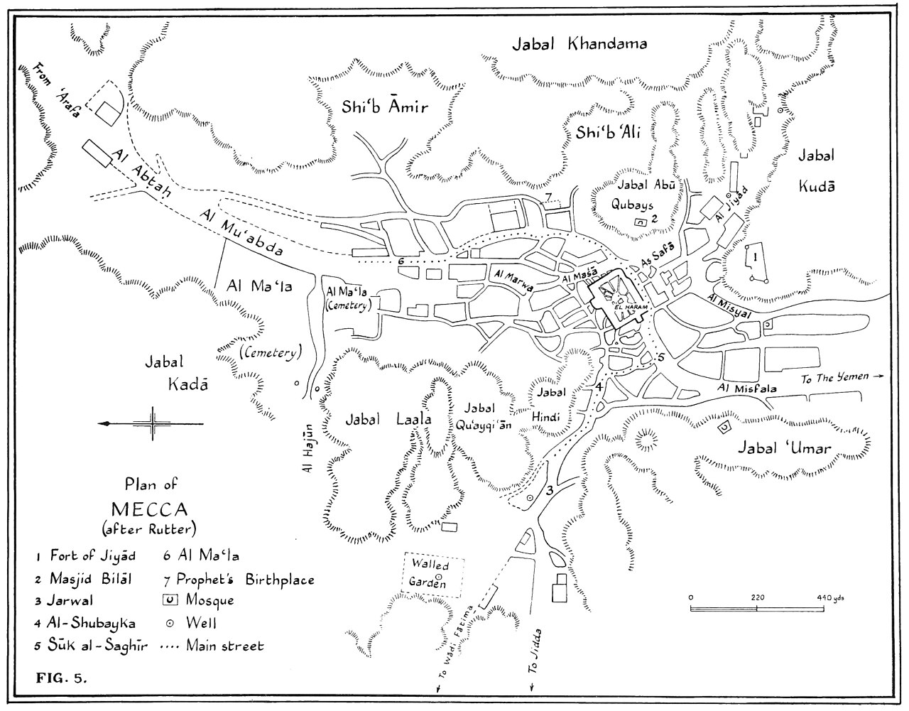
Plan of Mecca from Ibn Battuta's Travels
Ibn Battuta · 12 June 1354
A line drawing map of Mecca included in the account of Ibn Battuta's travels, showing the city's streets, hills and roads around the Haram.
This map appears in Ibn Battuta's own travel account, illustrating the city he described visiting.
About this source
What it is
This is a plan of the city of Mecca, drawn to accompany the travel account written by Ibn Battuta. It shows the city's streets, surrounding hills such as Jabal Khandama and Jabal Kuda, the Haram at the centre, and the roads leading to Jidda and Yemen, with a key and scale bar.
Why it matters
Ibn Battuta travelled widely across the Islamic world and beyond, and his account of his journeys, including his visits to Mecca, became one of the most important records of the medieval Muslim world. A map like this helps readers follow the geography he described in his own words.
Look closer
- What details does the map choose to show, and what might it leave out?
- Why would a map of Mecca matter to readers of a travel account?
- How might this plan help you imagine what Ibn Battuta saw on his journey?
This document is part of the curated material that grounds the AI version of Ibn Battuta on Humy.ai — when students ask about related events, the AI can quote it and cite it.
More Ibn Battuta sources
Meet the AI Ibn Battuta →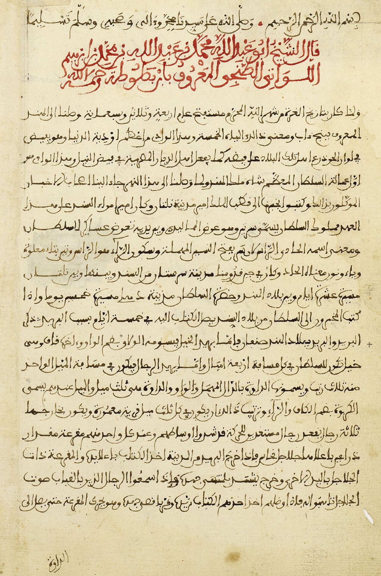 Book
Primary source
The Rihla
Ibn Battuta · 1354-1356
 Book
Primary source
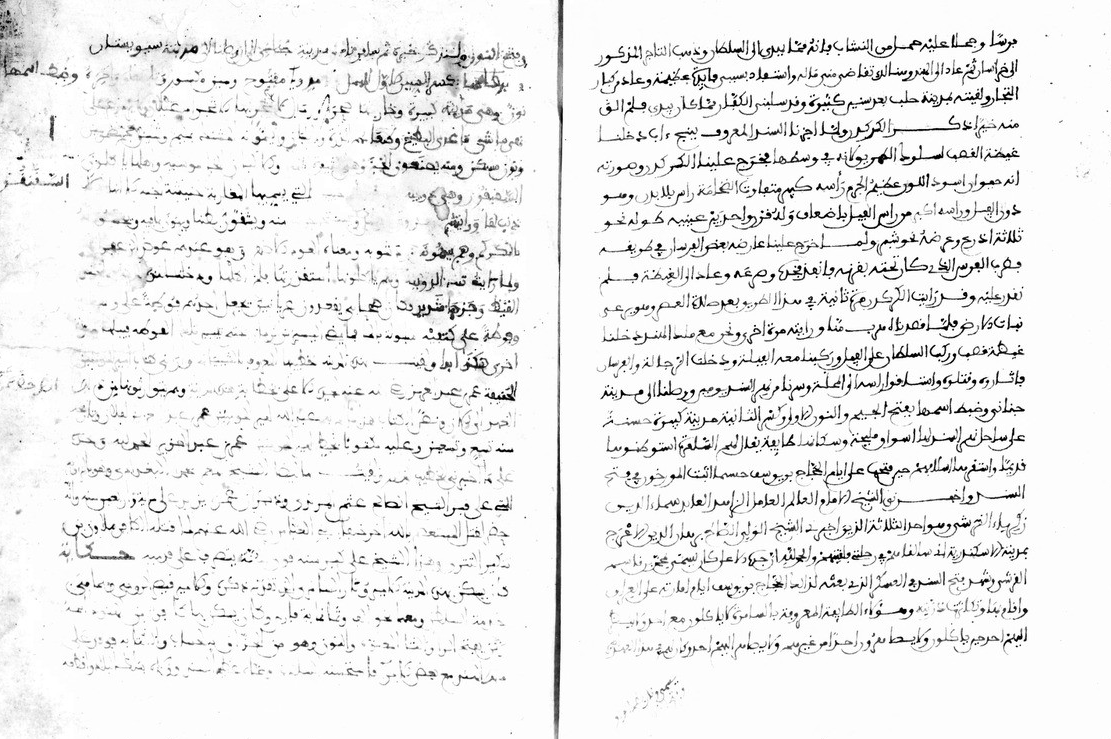
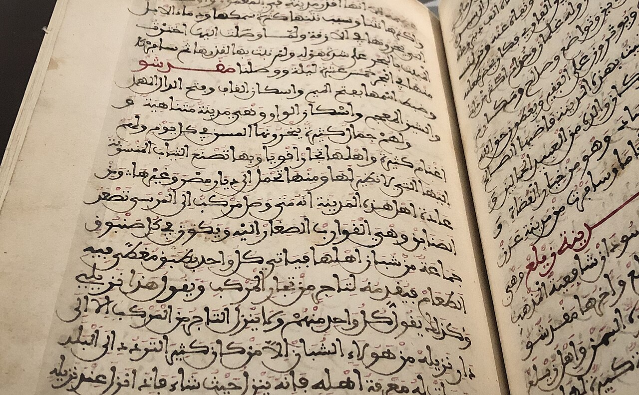
Manuscript of the Rihla by Ibn Juzayy
Ibn Juzayy · 14th century
 Artifact
Secondary source
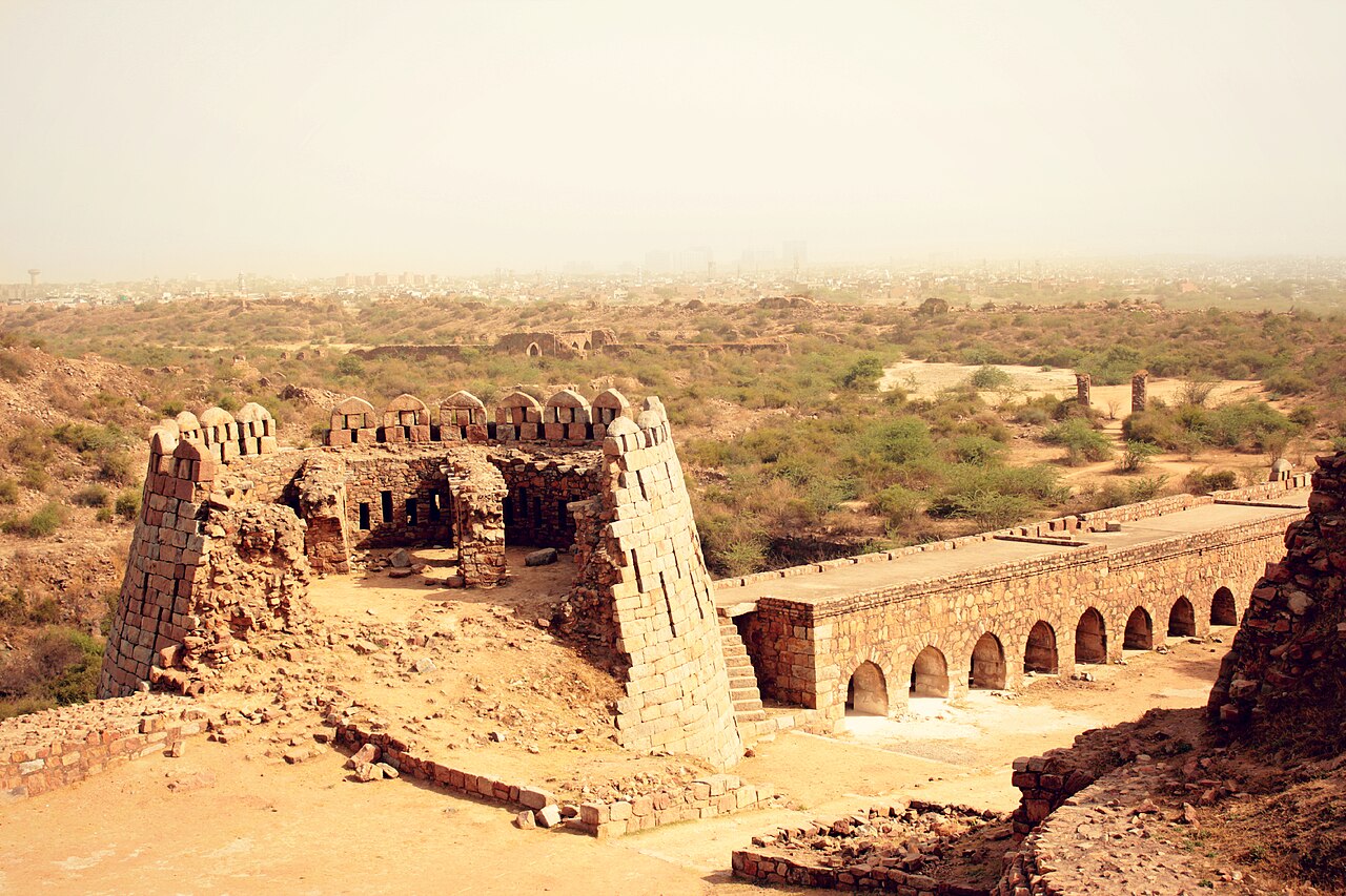
Tughlaqabad Fort
Ghiyath al-Din Tughluq · 1321
 Book
Secondary source
Manuscript copy of the Rihla (1484)
Ibn Juzayy · 1484
 Painting
Primary source
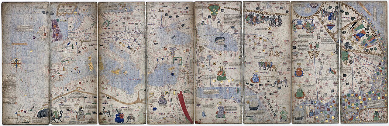
Catalan Atlas
Cresques Abraham · c. 1375
Ready when you are
Start chatting with Ibn Battuta now.
20 messages free · No credit card · Available in 50+ languages.