


Secondary sourceDocument1825
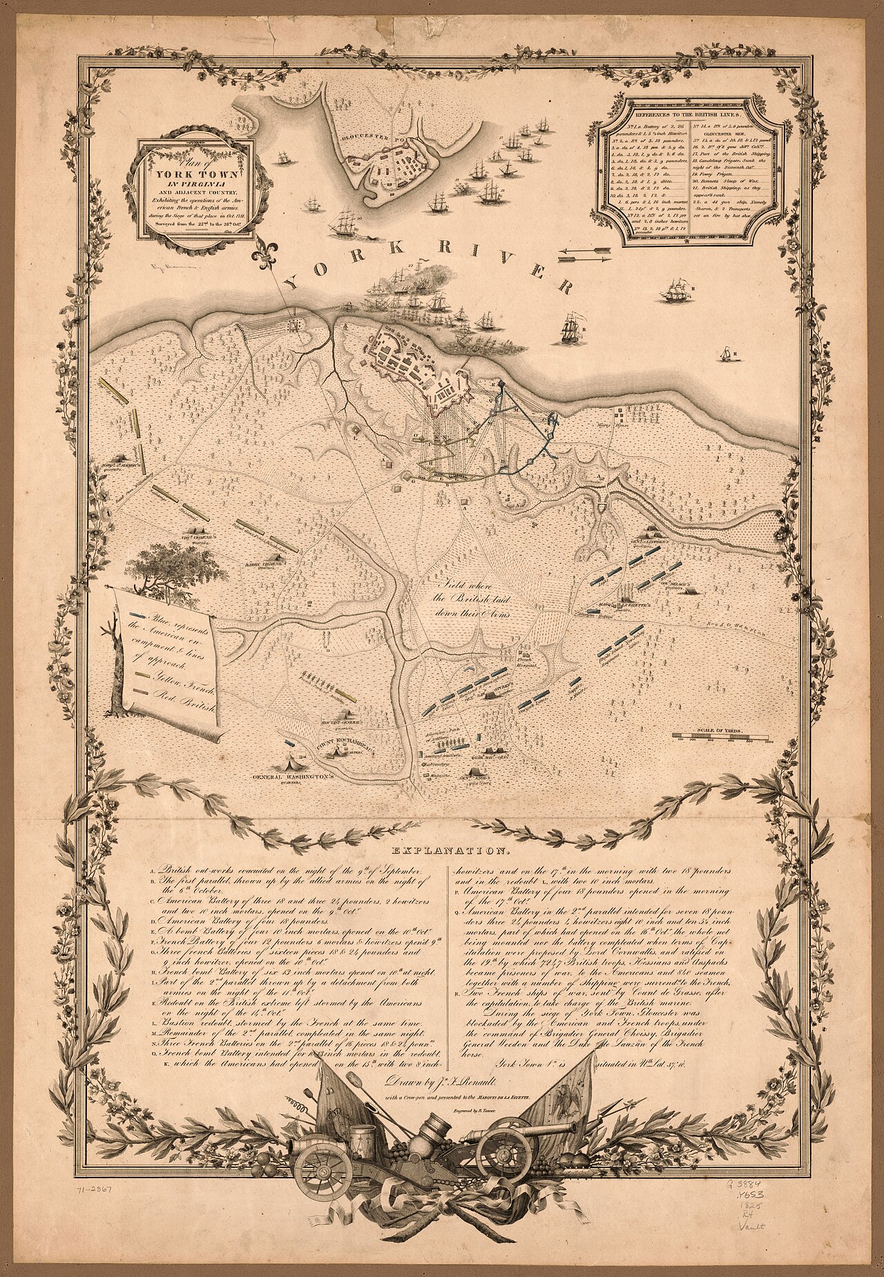
Plan of York Town Showing Siege Operations, Renault and Tanner, 1825
John Francis Renault and Benjamin Tanner · 1825
A later printed and hand-colored map of the 1781 Siege of Yorktown, made decades after the battle the figure's espionage helped win.
This later map commemorates the siege whose outcome the figure's espionage helped secure.
About this source
What it is
This engraved and hand-colored map, made in 1825 by John Francis Renault and Benjamin Tanner, shows the York River, Gloucester Point, siege lines, ships, and fortifications from the 1781 siege, with a decorative border, legend and explanatory text.
It is held in a Library of Congress map collection.
Why it matters
Though made more than forty years after the siege, this map helped later generations understand the battle that ended major fighting in the Revolutionary War. James Armistead's intelligence work as a double agent supported the campaign that this later map commemorates.
Look closer
- Why might mapmakers create a new, decorative version of a battle map decades after the event?
- What details, like the cannon illustration, suggest this map was meant to be admired as well as studied?
- How reliable might a map made in 1825 be as a record of events in 1781?
This document is part of the curated material that grounds the AI version of James Armistead Lafayette on Humy.ai — when students ask about related events, the AI can quote it and cite it.
More James Armistead Lafayette sources
Meet the AI James Armistead Lafayette →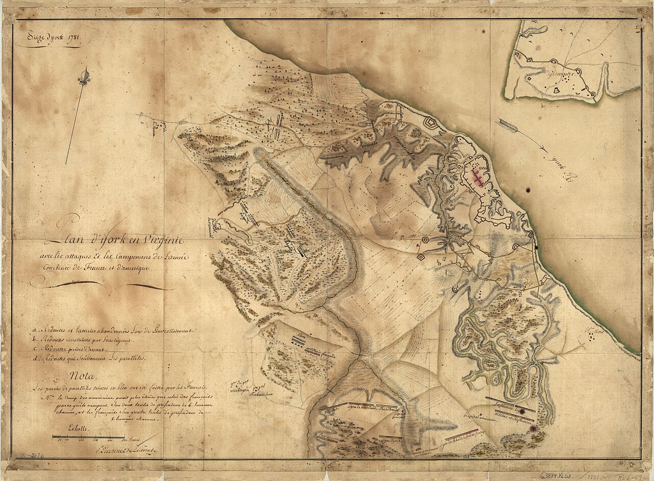 Document
Primary source
Siege of York, 1781: Plan of Franco-American Siege Works
Querenet De La Combe · 1781
 Document
Primary source
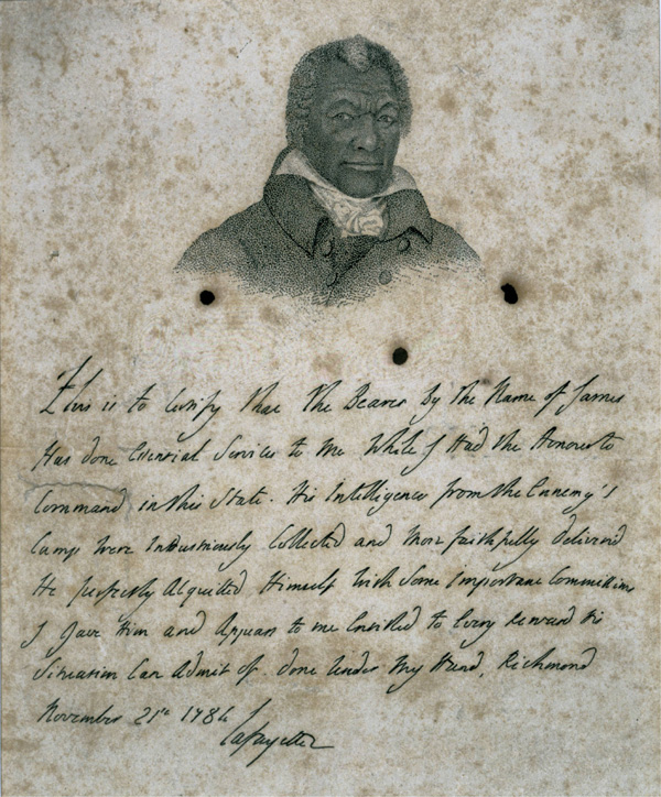
Certificate for James Armistead Lafayette
Marquis de Lafayette · 21 November 1784
 Document
Primary source
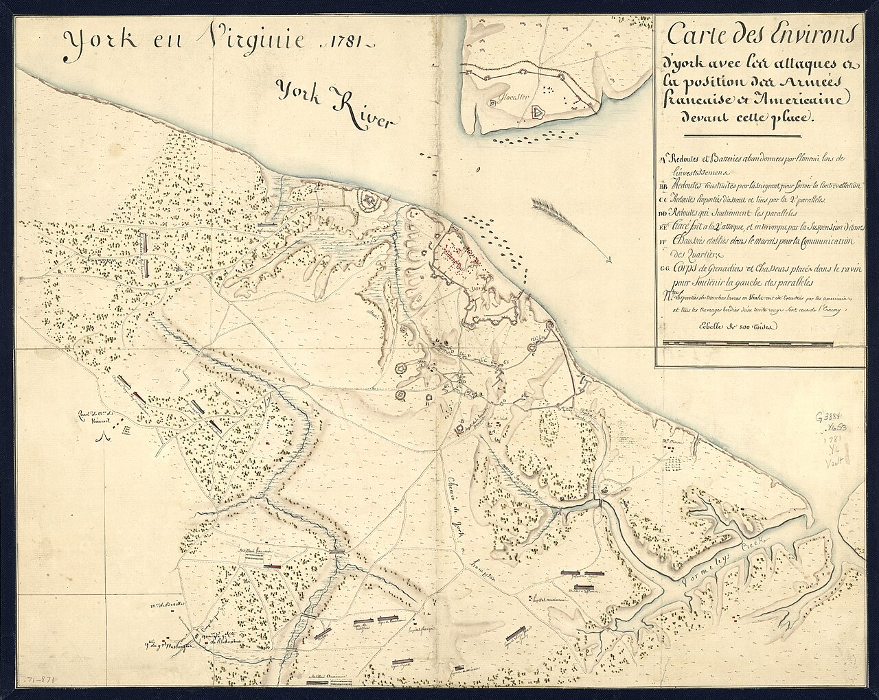
York en Virginie, 1781: Map of Franco-American Positions at York
1781
 Painting
Primary source
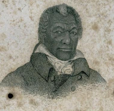
Portrait of James Armistead Lafayette
John B. Martin · c. 1824
 Document
Primary source
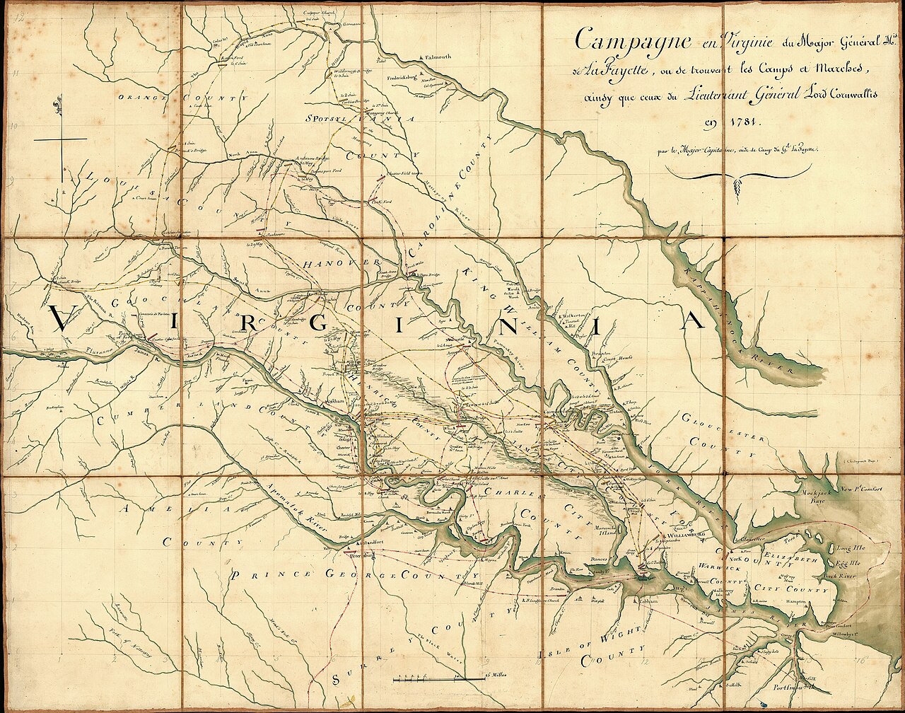
Campaign of the Marquis de Lafayette in Virginia, 1781
Michel Capitaine Du Chesnoy · 1781
Ready when you are
Start chatting with James Armistead Lafayette now.
20 messages free · No credit card · Available in 50+ languages.