


Secondary sourceDocument1482 (second issue)
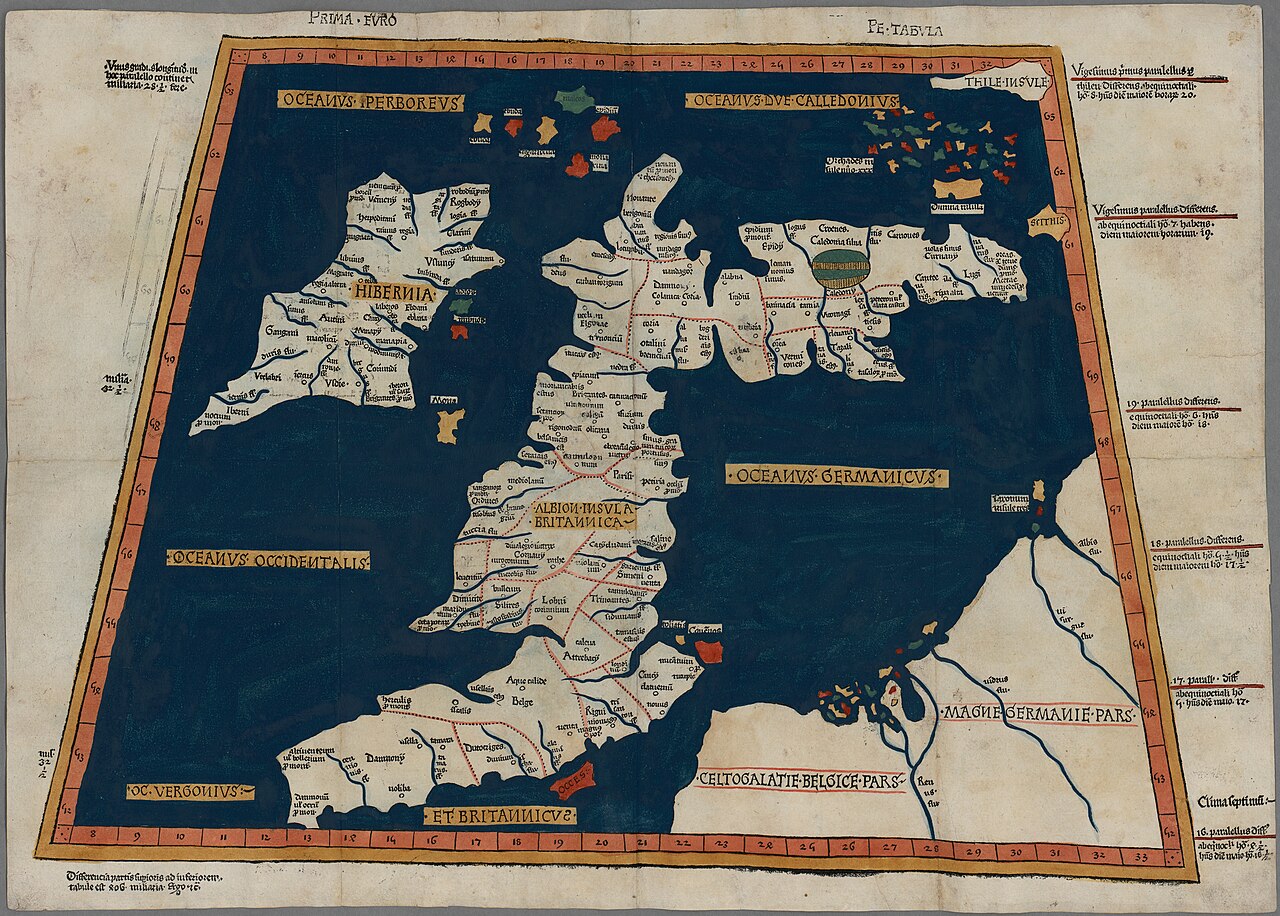
Prima Europe Tabula
Ptolemy · 1482 (second issue)
An early printed copy of Ptolemy's map of the British Isles, showing how the Roman world pictured Britain.
This map, attributed to Ptolemy, shows his geographic authority surviving into printed Renaissance maps of Britain.
About this source
What it is
This woodcut map depicts the British Isles according to Ptolemy's ancient geography. It is one of the earliest surviving printed copies, issued at Ulm in 1482, the first woodcut map of the British Isles and the first printed outside Italy. It is now held by the National Library of Wales.
Why it matters
The map shows how knowledge from the Roman world, recorded by Ptolemy almost a millennium earlier, was still being copied and printed in Renaissance Europe. Its distorted shapes, such as the orientation of Scotland, reveal the limits of ancient measurement and observation.
Look closer
- What looks distorted or inaccurate compared to a modern map of Britain?
- Why might ancient geographers have gotten some shapes wrong?
- What does the survival of this map tell us about how old knowledge gets passed down?
This document is part of the curated material that grounds the AI version of Ptolemy on Humy.ai — when students ask about related events, the AI can quote it and cite it.
More Ptolemy sources
Browse all 90 →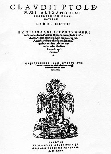 Book
Primary source
Geography
Ptolemy · c. 150 AD
 Artifact
Secondary source
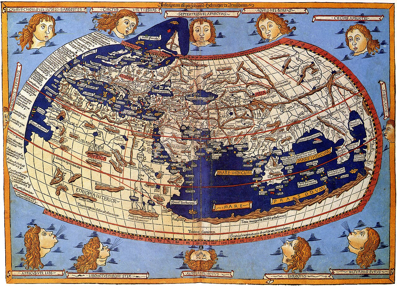
Ptolemy's World Map
Ptolemy · c. 150 AD (reconstructed after 1295)
 Book
Primary source
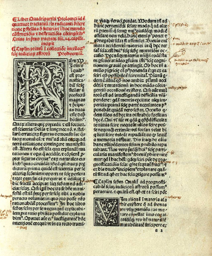
Tetrabiblos
Ptolemy · c. 2nd century AD
 Book
Primary source
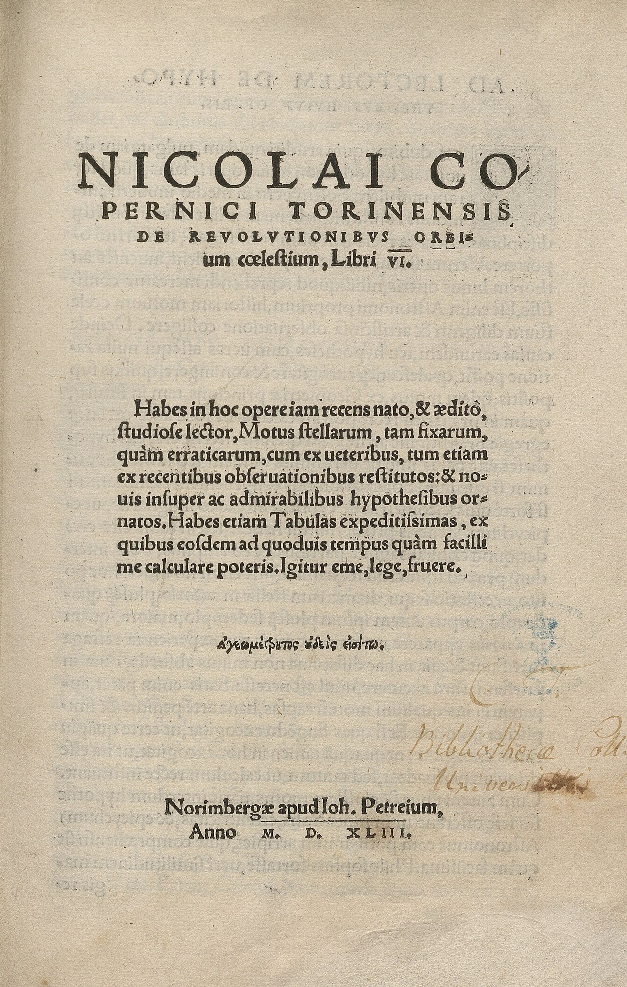
De revolutionibus orbium coelestium
Nicolaus Copernicus · 1543
Free account
Read every Ptolemy source
Sign up free →
Ready when you are
Start chatting with Ptolemy now.
20 messages free · No credit card · Available in 50+ languages.