


Secondary sourceDocument1826-1837
Primary Triangulation of Switzerland, 1826-1837
Geomatik Schweiz · 1826-1837
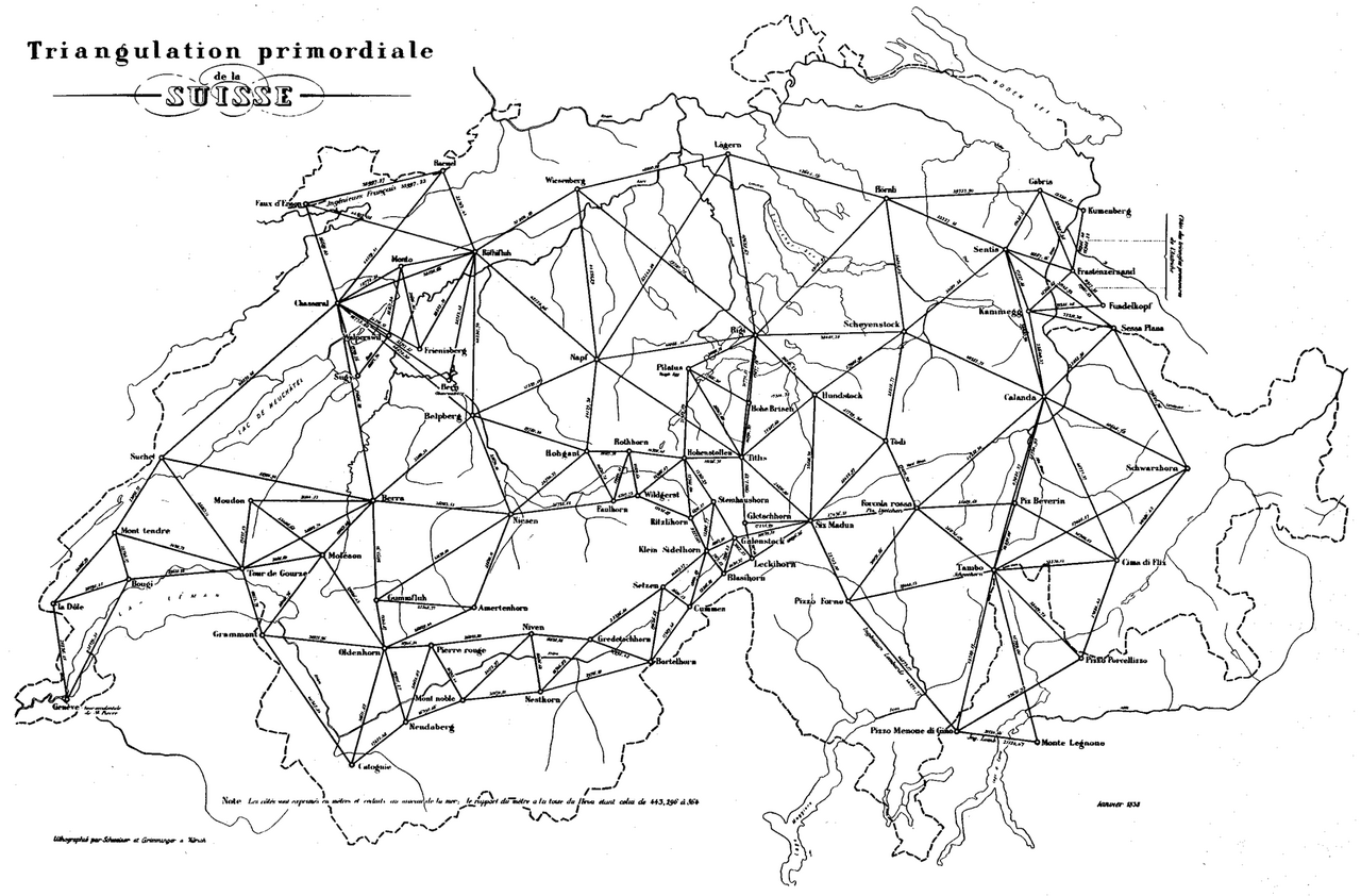
A modern line map of the early triangulation network of Switzerland, made during the years Dufour worked on the national mapping project. It is a diagram, not the original survey.
Shows the early triangulation network of the mapping project Dufour worked on, placing his mapping work in its technical setting.
Free Humy account · No credit card · 120,912 sources to read
About this source
What it is
This is a black and white line map titled 'Triangulation primordiale de la Suisse'. It shows the borders of Switzerland with straight lines connecting named triangulation points, such as peaks and survey stations, across the country. Place labels, rivers and lakes are drawn in outline, and a scale note runs along the bottom edge. The image was made by Geomatik Schweiz and uploaded in 2012. The record gives the survey period as 1826-1837. Because this is a modern diagram, it is not the original survey sheet.
Why it matters
A triangulation network is a set of measured points that lets mapmakers fix the positions of places across a country. The network shown here belongs to the period when Dufour worked on the national mapping project. Such surveys were the foundation for accurate maps of Switzerland, and they required many surveyors and officers working together over years. The diagram helps students see the scale of that work and how it linked mountains, valleys and towns into one measured system.
Look closer
- Why would a mapmaker connect distant peaks with straight lines?
- How does the modern diagram differ from an original survey sheet made in the 1800s?
- Which people, places or events from the survey does this diagram leave out?
This document is part of the curated material that grounds the AI version of Guillaume Henri Dufour on Humy.ai — when students ask about related events, the AI can quote it and cite it.
More Guillaume Henri Dufour sources
Browse all 97 →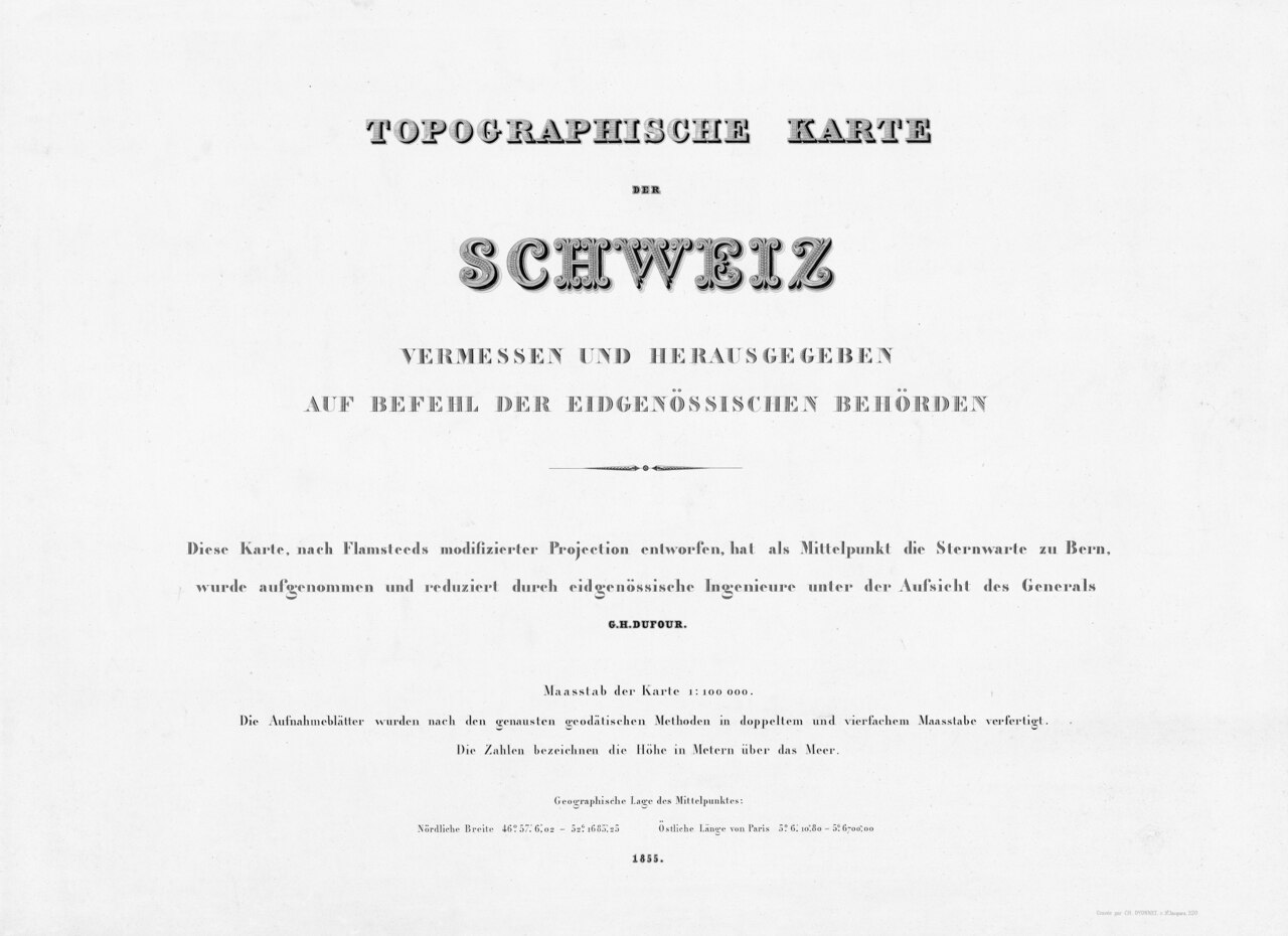 Document
Primary source
Dufour Map
Guillaume Henri Dufour / Federal Topographic Bureau · 1845–1865
 Document
Primary source
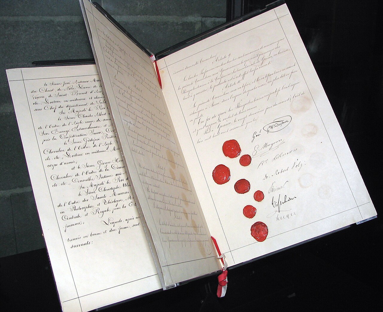
Geneva Convention of 1864
1864
 Artifact
Secondary source
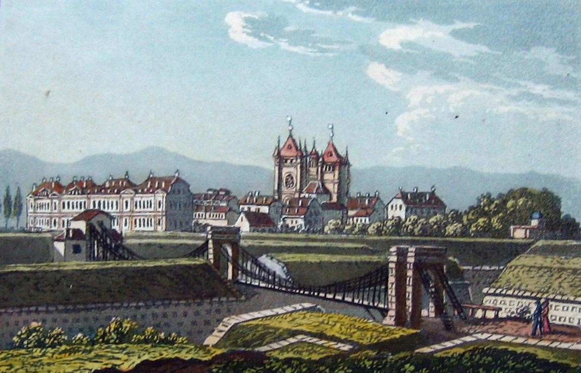
Passerelle de Saint-Antoine
1823
 Photograph
Primary source
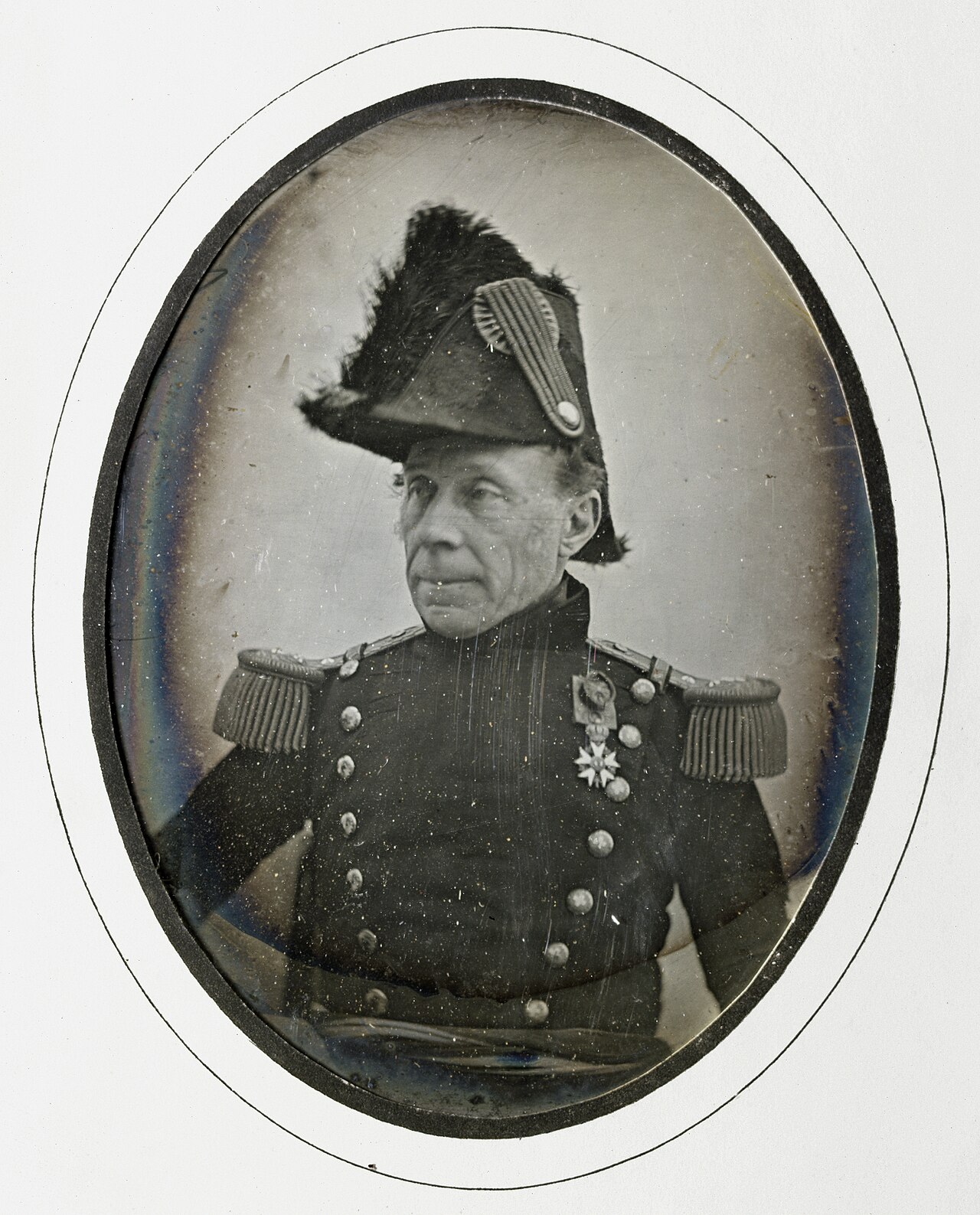
Daguerreotype Portrait of Guillaume Henri Dufour
Jean de Humnicki · c. 1850
Free account
Read every Guillaume Henri Dufour source
Sign up free →
Ready when you are
Start chatting with Guillaume Henri Dufour now.
20 messages free · No credit card · Available in 50+ languages.