


Primary sourceDocument1482
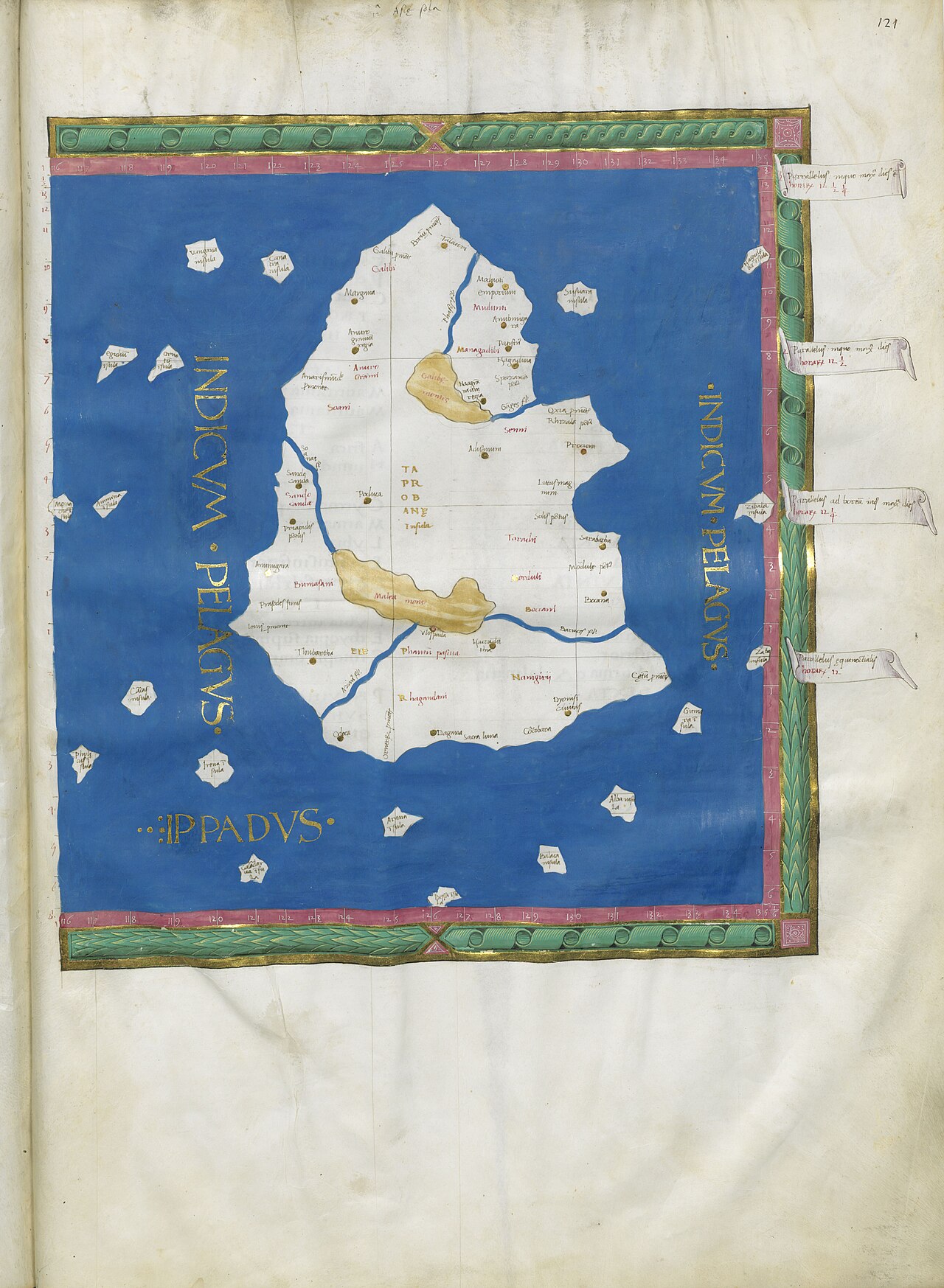
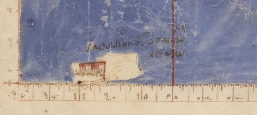
Ptolemaic Map of Taprobane (Sri Lanka)
Claudius Ptolemy · 1482
A hand-colored 1482 woodcut map of ancient Sri Lanka, based on Ptolemy's Geography, showing place names he recorded.
This map comes directly from Ptolemy's own geographic text, the Geography, as reproduced in a 1482 printed edition.
About this source
What it is
This hand-colored woodcut map comes from the 1482 Ulm edition of Ptolemy's Geographia. It was printed by Lienhart Holle, with Donnus Nicolaus Germanus preparing the maps from Ptolemy's original text. It shows the island of Taprobane, believed to be ancient Sri Lanka, with Latin place names such as one thought to refer to Anuradhapura.
Why it matters
Ptolemy's Geography gathered geographic knowledge of the ancient world and influenced mapmaking for over a thousand years. This printed edition, made 1,300 years after his death, shows how his work was still being copied and used by Renaissance printers and scholars like Germanus and Holle.
Look closer
- What do the place names on the map tell you about what the ancient world knew of this region?
- Why would a map made in 1482 still rely on information gathered by Ptolemy centuries earlier?
- What might be missing or inaccurate about this map compared to a modern one?
This document is part of the curated material that grounds the AI version of Ptolemy on Humy.ai — when students ask about related events, the AI can quote it and cite it.
More Ptolemy sources
Browse all 90 → Book
Primary source
Geography
Ptolemy · c. 150 AD
 Artifact
Secondary source
Ptolemy's World Map
Ptolemy · c. 150 AD (reconstructed after 1295)
 Book
Primary source
Tetrabiblos
Ptolemy · c. 2nd century AD
 Book
Primary source
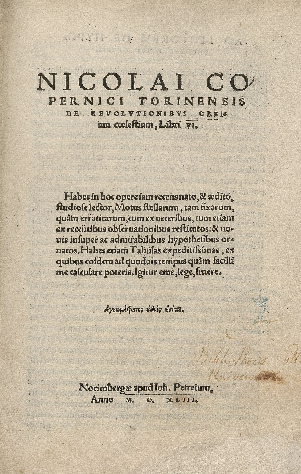
De revolutionibus orbium coelestium
Nicolaus Copernicus · 1543
Free account
Read every Ptolemy source
Sign up free →
Ready when you are
Start chatting with Ptolemy now.
20 messages free · No credit card · Available in 50+ languages.