


Secondary sourcePainting
Ptolemy's Map of Germany from the Geography
Nicolaus Germanus
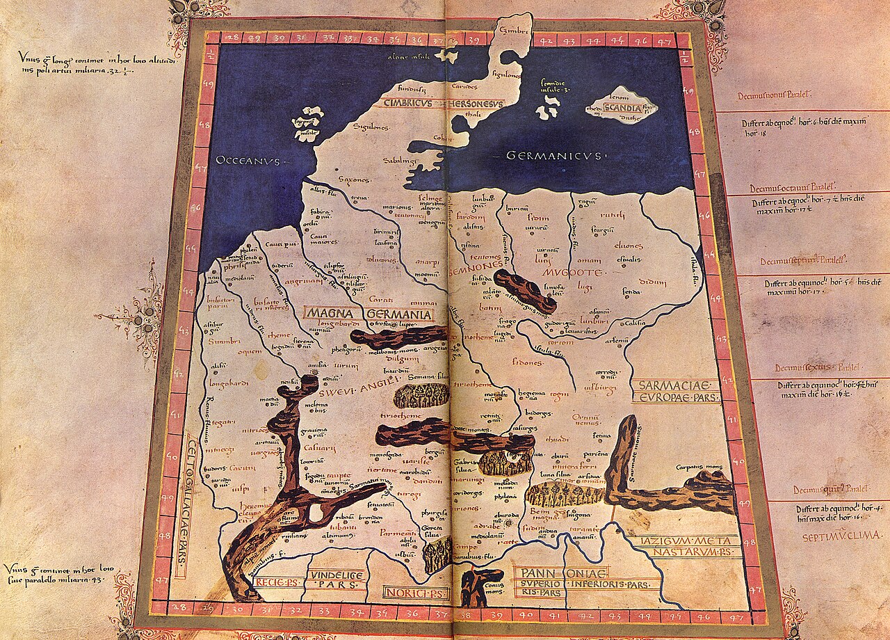
About this source
This painting is part of the curated material that grounds the AI version of Ptolemy on Humy.ai — when students ask about related events, the AI can quote it and cite it.
More Ptolemy sources
Browse all 90 →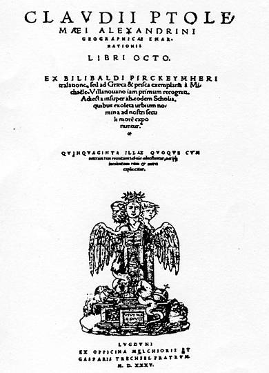 Book
Primary source
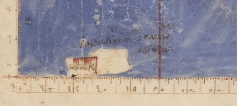
Geography
Ptolemy · c. 150 AD
 Artifact
Secondary source
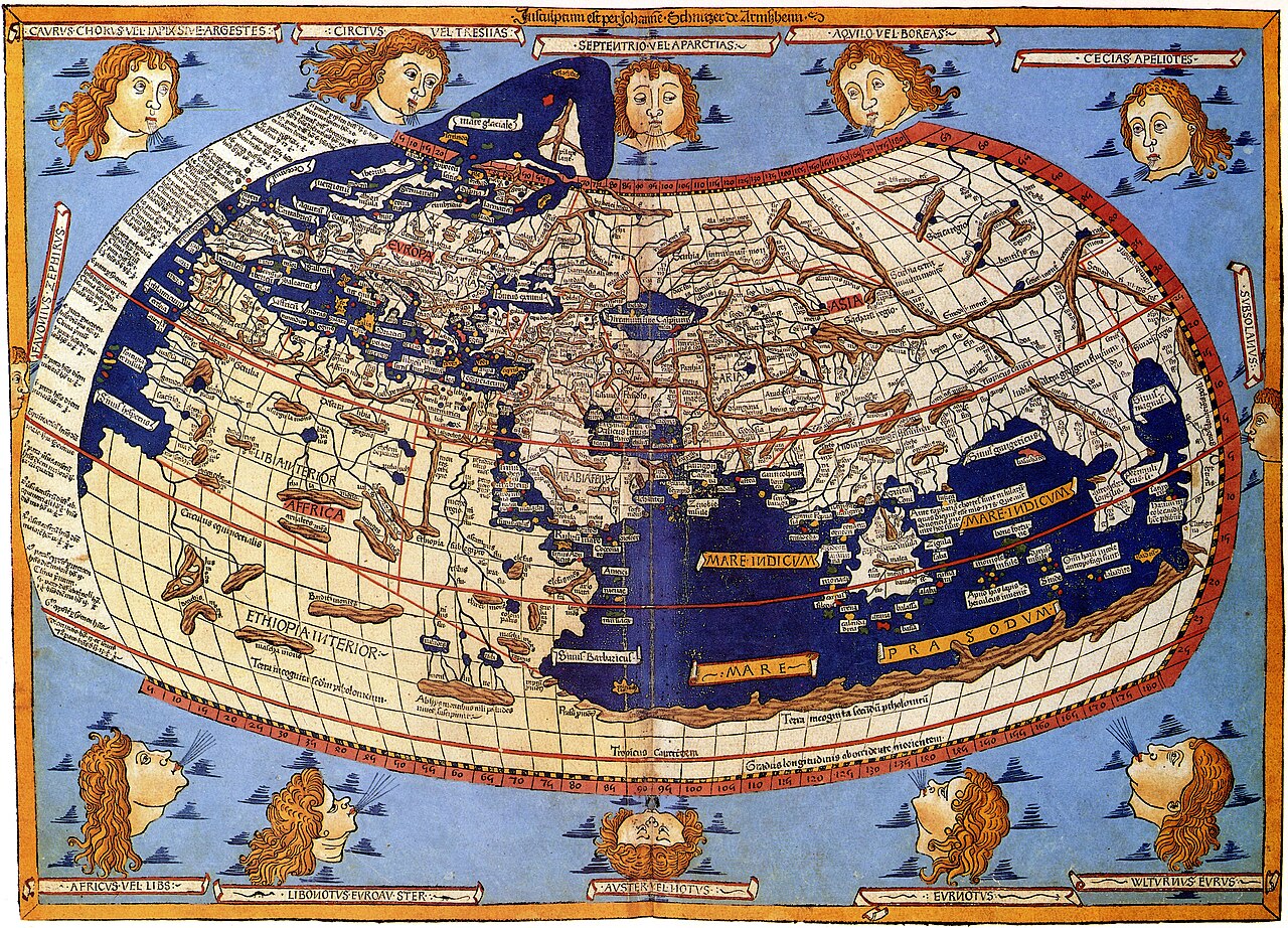
Ptolemy's World Map
Ptolemy · c. 150 AD (reconstructed after 1295)
 Book
Primary source
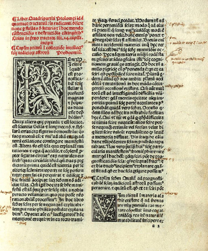
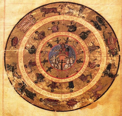
Tetrabiblos
Ptolemy · c. 2nd century AD
 Book
Primary source
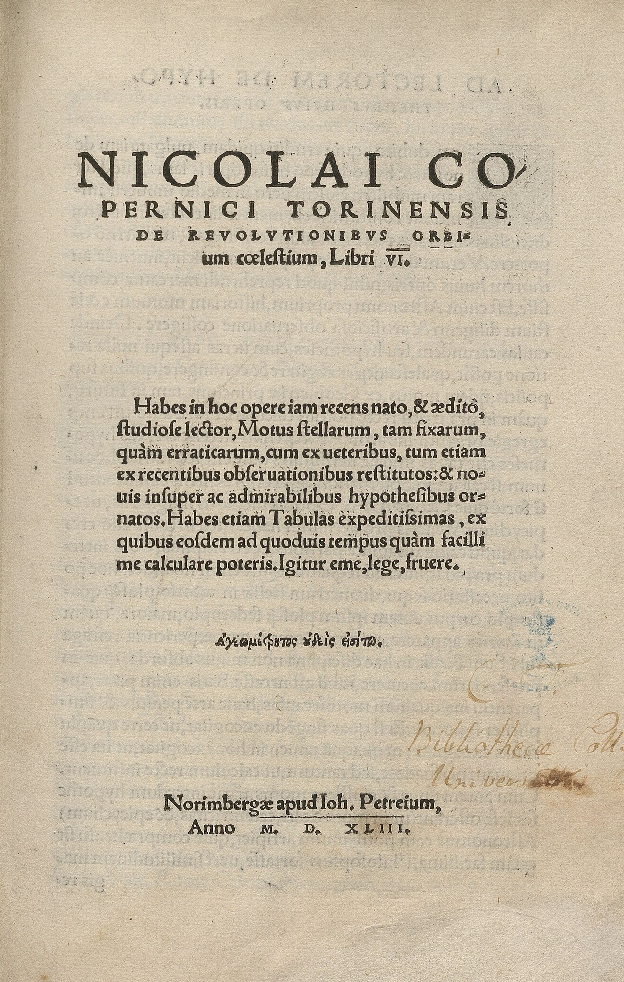
De revolutionibus orbium coelestium
Nicolaus Copernicus · 1543
+85more sources
Free account
Read every Ptolemy source
Sign up free →
Ready when you are
Start chatting with Ptolemy now.
20 messages free · No credit card · Available in 50+ languages.