


Secondary sourceBook1917
Ptolemy's Maps of Northern Europe
Gudmund Schütte · 1917
Gudmund Schütte's 1917 reconstruction of the prototypes behind the maps of northern Europe in Ptolemy's Geography.
This 1917 reconstruction shows how scholars have tried to recover the lost maps behind Ptolemy's account of northern Europe.
Free Humy account · No credit card · 120,912 sources to read

About this source
What it is
This 1917 book by Gudmund Schütte was published by the Royal Danish Geographical Society in Copenhagen. It is a reconstruction of the prototypes behind Ptolemy's maps of northern Europe. The copy here is a scanned PDF from the Internet Archive, and its record lists bibliographic notes on pages 144 to 150.
Why it matters
The editorial notice explains that the subject was changed in 1912 to cover the Ptolemaic geography of northern Europe. The Carlsberg Fund and the Royal Danish Academy of Sciences helped support the work. The book shows how modern scholars tried to recover older maps from the surviving descriptions, so that Ptolemy's geography could be understood for the lands he described.
Look closer
- What does the title say the book reconstructs, and how might a reconstruction differ from an original map?
- Why did the editorial notice say the subject changed, and who decided that?
- What evidence would a reader need to check whether the reconstruction is correct?
This book is part of the curated material that grounds the AI version of Ptolemy on Humy.ai — when students ask about related events, the AI can quote it and cite it.
More Ptolemy sources
Browse all 90 →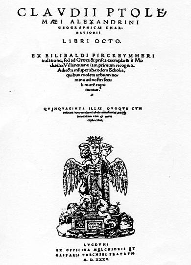 Book
Primary source
Geography
Ptolemy · c. 150 AD
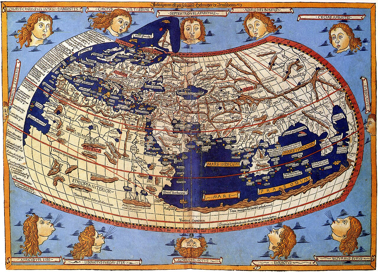 Artifact
Secondary source
Ptolemy's World Map
Ptolemy · c. 150 AD (reconstructed after 1295)
 Book
Primary source
Tetrabiblos
Ptolemy · c. 2nd century AD
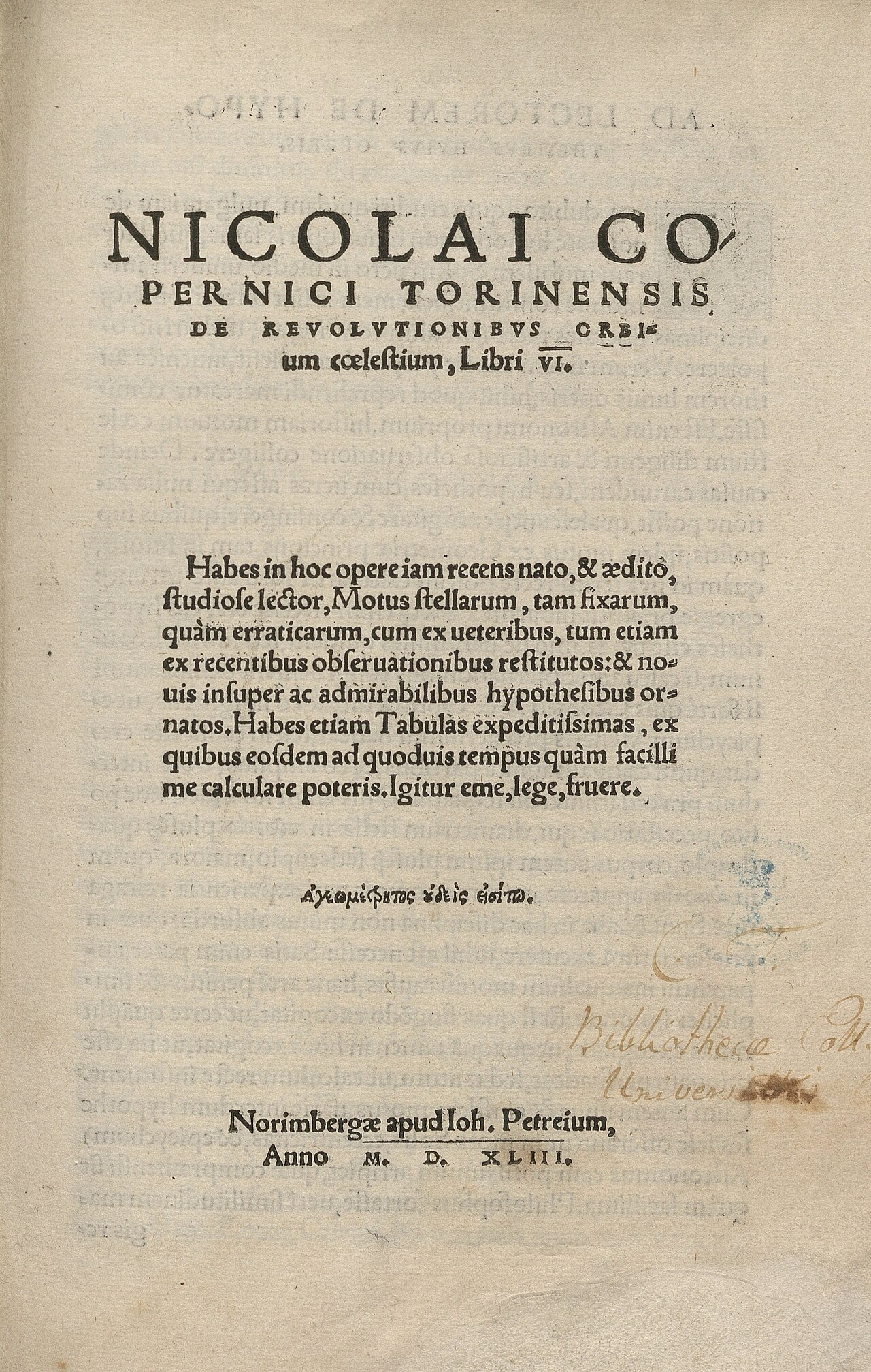 Book
Primary source
De revolutionibus orbium coelestium
Nicolaus Copernicus · 1543
Free account
Read every Ptolemy source
Sign up free →
Ready when you are
Start chatting with Ptolemy now.
20 messages free · No credit card · Available in 50+ languages.