


Tertiary sourceDocument1912
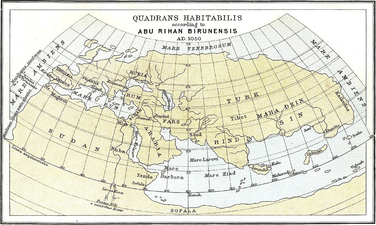
Quadrans Habitabilis according to Abu Rihan Birunensis
Ernest Rhys · 1912
A 1912 reconstructed map showing the inhabited world as scholars understood Al-Biruni's geographical scheme of 1030.
This 1912 map reconstructs Biruni's own 1030 geographical scheme of the inhabited world.
About this source
What it is
This is a map titled 'Quadrans Habitabilis according to Abu Rihan Birunensis, A.D. 1030', produced in 1912 by Ernest Rhys based on Al-Biruni's geographical work. It lays out the known inhabited world on a curved grid, with regions such as Mare Tenebrosum, Turk, Sin, Hindi, Sudan, Arabia, Sofala, and Mare Ambiens.
Why it matters
Al-Biruni was a leading geographer of his time who worked out detailed schemes of the inhabited quarter of the Earth. This map is a modern, early 20th-century reconstruction rather than Biruni's own drawing, but it shows how later scholars tried to visualize and understand his geographical ideas about the world as known in the 11th century.
Look closer
- Why is it important to know this map was made centuries after Biruni, rather than by Biruni himself?
- What do the names and divisions on the map suggest about how the world was understood in the 11th century?
- How might a modern reconstruction differ from what Biruni actually produced?
This document is part of the curated material that grounds the AI version of Al-Biruni on Humy.ai — when students ask about related events, the AI can quote it and cite it.
More Al-Biruni sources
Meet the AI Al-Biruni →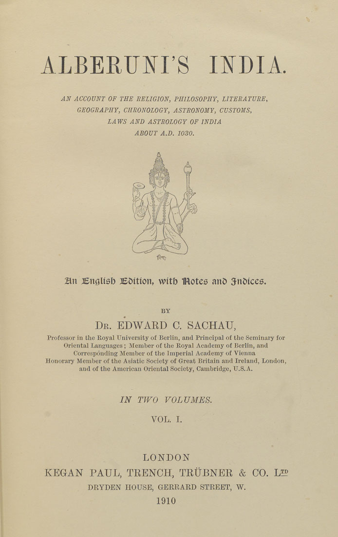 Book
Primary source
Al-Biruni's India
Al-Biruni · c. 1030
 Book
Primary source
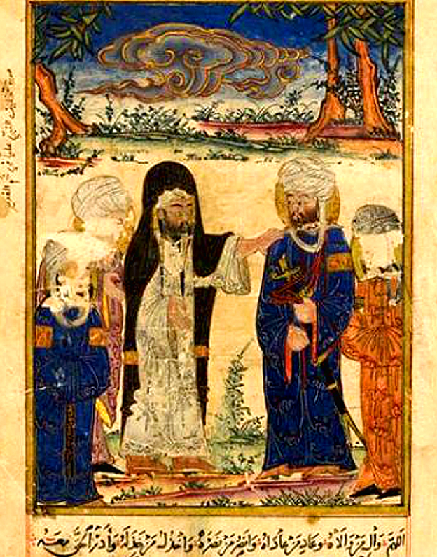
The Remaining Signs of Past Centuries
Al-Biruni · c. 1000, illustrated copy 1307-1308
 Artifact
Primary source
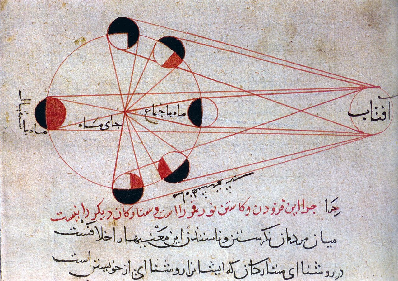
Diagram of the Phases of the Moon
Al-Biruni
 Artifact
Primary source
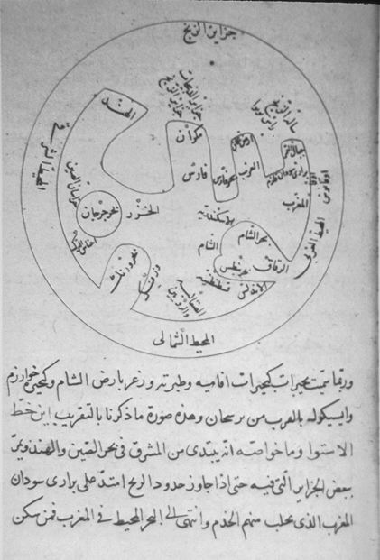
Al-Biruni's World Map of the Distribution of Land and Sea
Al-Biruni · 1029
 Book
Primary source
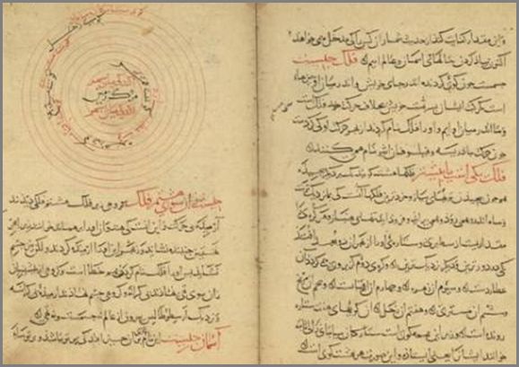
Page from the Oldest Manuscript of the Tafhim
Al-Biruni
Ready when you are
Start chatting with Al-Biruni now.
20 messages free · No credit card · Available in 50+ languages.