


Primary sourceArtifact1845
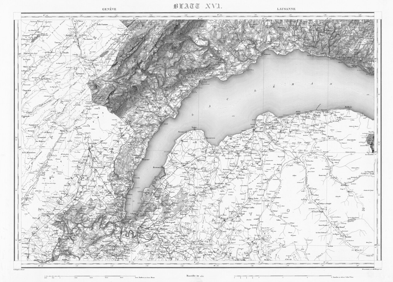
Sheet XVI Geneva-Lausanne of the Dufour Map
Guillaume-Henri Dufour · 1845
A sheet from the Swiss topographic map directed by General Dufour, showing the Geneva-Lausanne region in 1845.
This map sheet was produced under Dufour's direction as head of the Swiss topographic survey.
About this source
What it is
This is one sheet of the Dufour Map, a detailed topographic survey of Switzerland made under the direction of Guillaume Henri Dufour in 1845, with engravers Rinaldo Bressanini and Heinrich Müllhaupt and the Swiss Topographical Bureau. It covers the area around Geneva and Lausanne, with Lake Geneva at its centre.
Why it matters
The Dufour Map was the first complete official map of Switzerland, and it shows Dufour's work beyond the battlefield, as a trained engineer and surveyor. Maps like this were essential for government, the military and infrastructure, and reveal how much careful technical labour it took to understand and govern a mountainous country.
Look closer
- What details can you find about how the land, towns and roads were recorded?
- Why would a government want an accurate map like this in the 1840s?
- What skills would surveyors and engravers need to make a map this detailed before photography?
This artifact is part of the curated material that grounds the AI version of Guillaume Henri Dufour on Humy.ai — when students ask about related events, the AI can quote it and cite it.
More Guillaume Henri Dufour sources
Browse all 97 →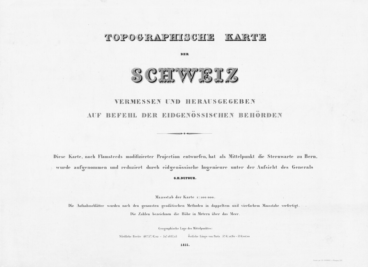 Document
Primary source
Dufour Map
Guillaume Henri Dufour / Federal Topographic Bureau · 1845–1865
 Document
Primary source
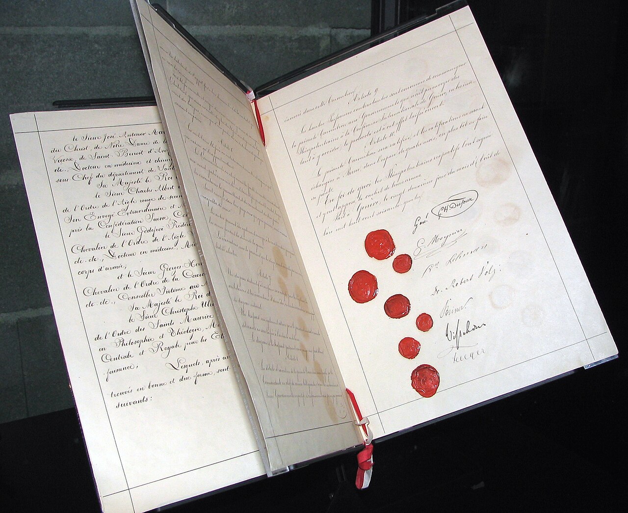
Geneva Convention of 1864
1864
 Artifact
Secondary source
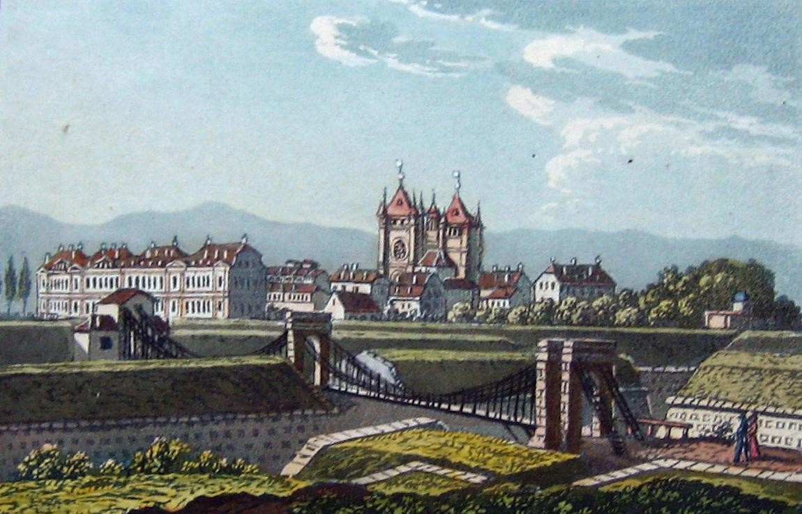
Passerelle de Saint-Antoine
1823
 Photograph
Primary source
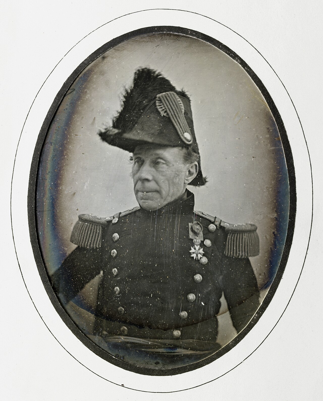
Daguerreotype Portrait of Guillaume Henri Dufour
Jean de Humnicki · c. 1850
Free account
Read every Guillaume Henri Dufour source
Sign up free →
Ready when you are
Start chatting with Guillaume Henri Dufour now.
20 messages free · No credit card · Available in 50+ languages.