


Secondary sourceArtifact
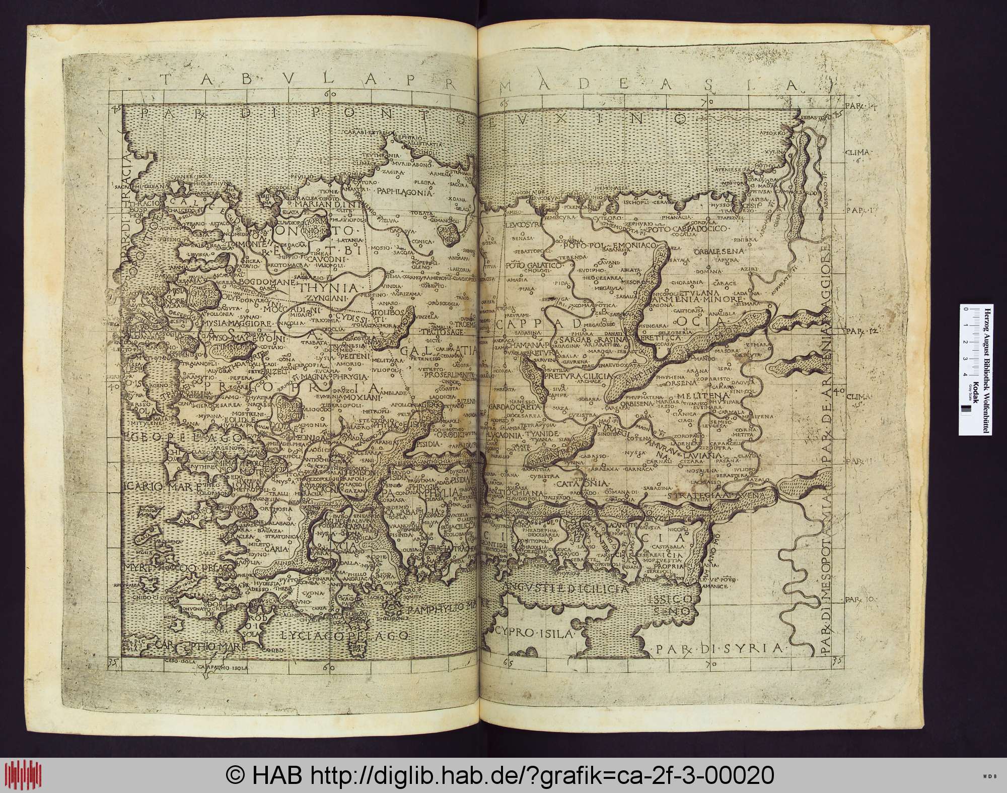
Tabula Prima de Asia
The first map of Asia from a later printed edition of Ptolemy's Geography, covering regions of Asia Minor.
This map of Asia Minor is based on Ptolemy's own regional coordinates and place names.
About this source
What it is
This engraved map, titled 'Tabula Prima de Asia', comes from a later printed edition of Ptolemy's Geography. It uses a grid of latitude and longitude lines to show coastlines, rivers and place names, including regions such as Bithynia, Cappadocia, Galatia, Cilicia, Cyprus and Syria. It is held by the Herzog August Library in Germany.
Why it matters
This map shows Ptolemy's lasting influence on mapmaking: his coordinate system was still being used by printers centuries later to represent the ancient world. It lets historians see how later Europeans visualized the regions Ptolemy described.
Look closer
- What does the grid of lines suggest about how precisely places were located?
- What might the library stamp tell you about the map's later history?
- Which ancient place names can you match to modern countries today?
This artifact is part of the curated material that grounds the AI version of Ptolemy on Humy.ai — when students ask about related events, the AI can quote it and cite it.
More Ptolemy sources
Browse all 90 →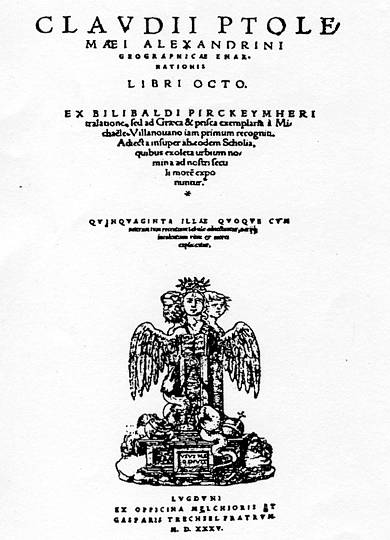 Book
Primary source
Geography
Ptolemy · c. 150 AD
 Artifact
Secondary source
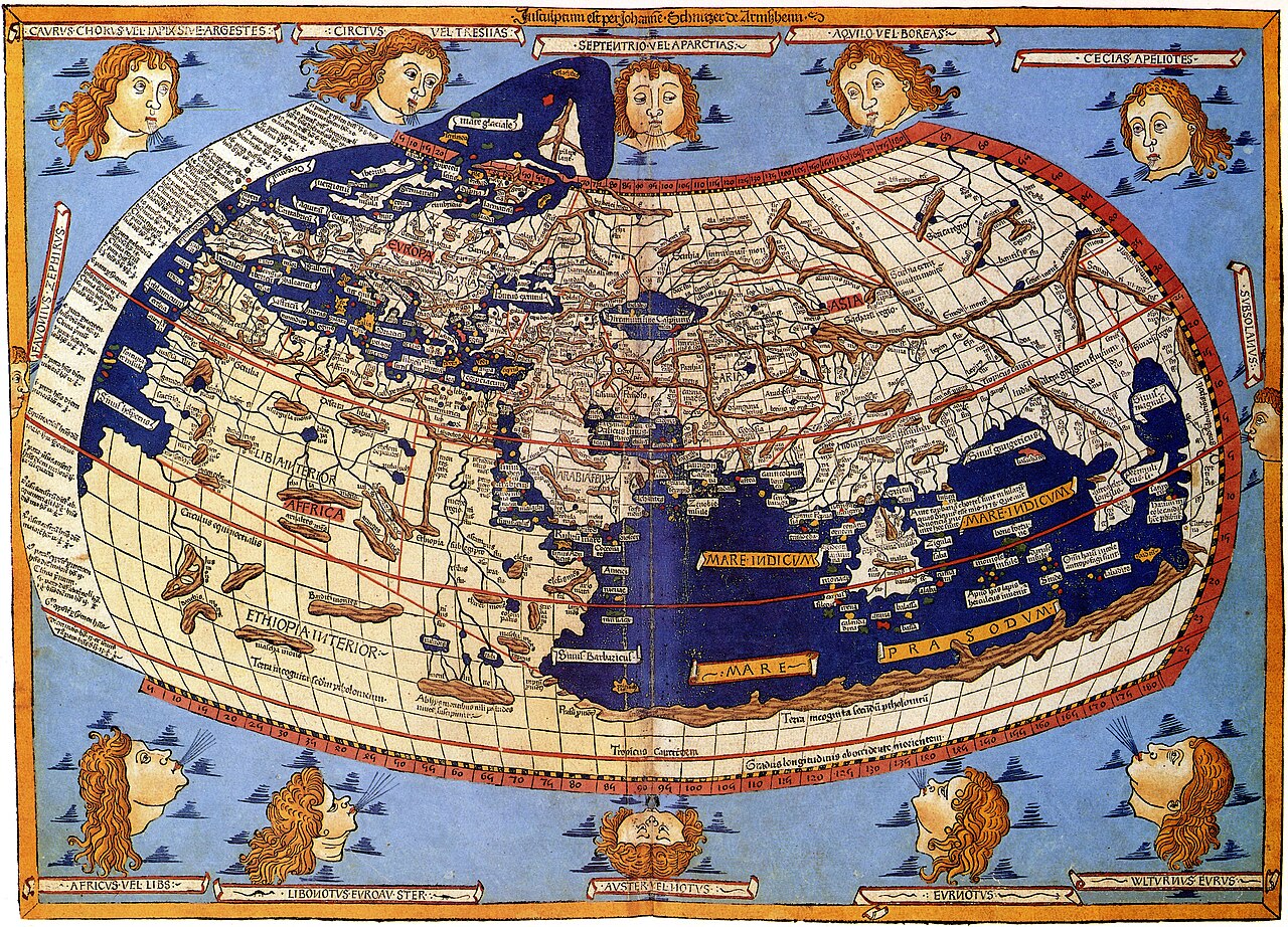
Ptolemy's World Map
Ptolemy · c. 150 AD (reconstructed after 1295)
 Book
Primary source
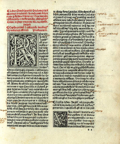
Tetrabiblos
Ptolemy · c. 2nd century AD
 Book
Primary source
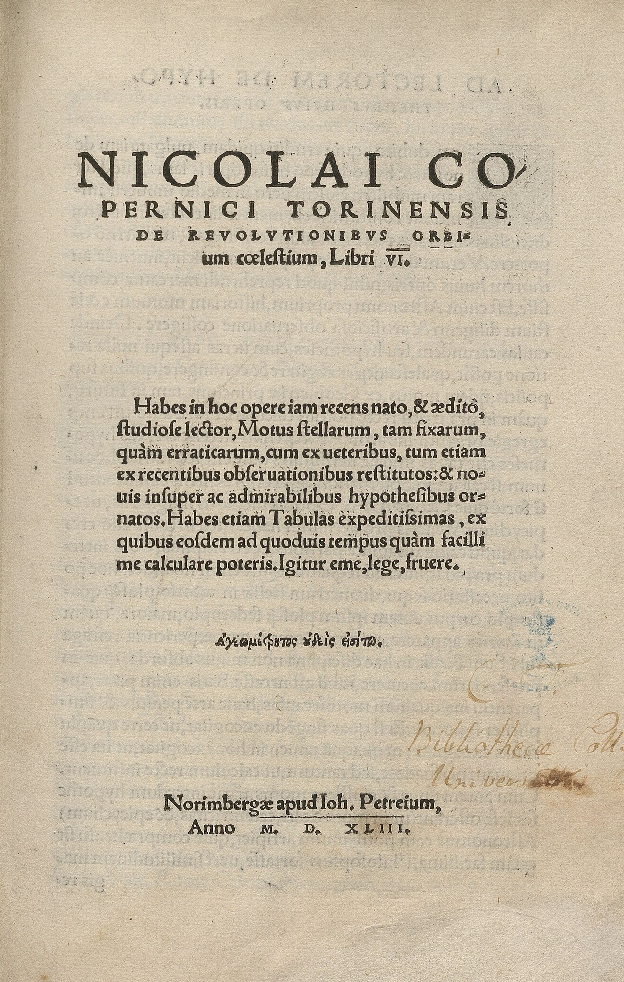
De revolutionibus orbium coelestium
Nicolaus Copernicus · 1543
Free account
Read every Ptolemy source
Sign up free →
Ready when you are
Start chatting with Ptolemy now.
20 messages free · No credit card · Available in 50+ languages.