


Primary sourceDocument
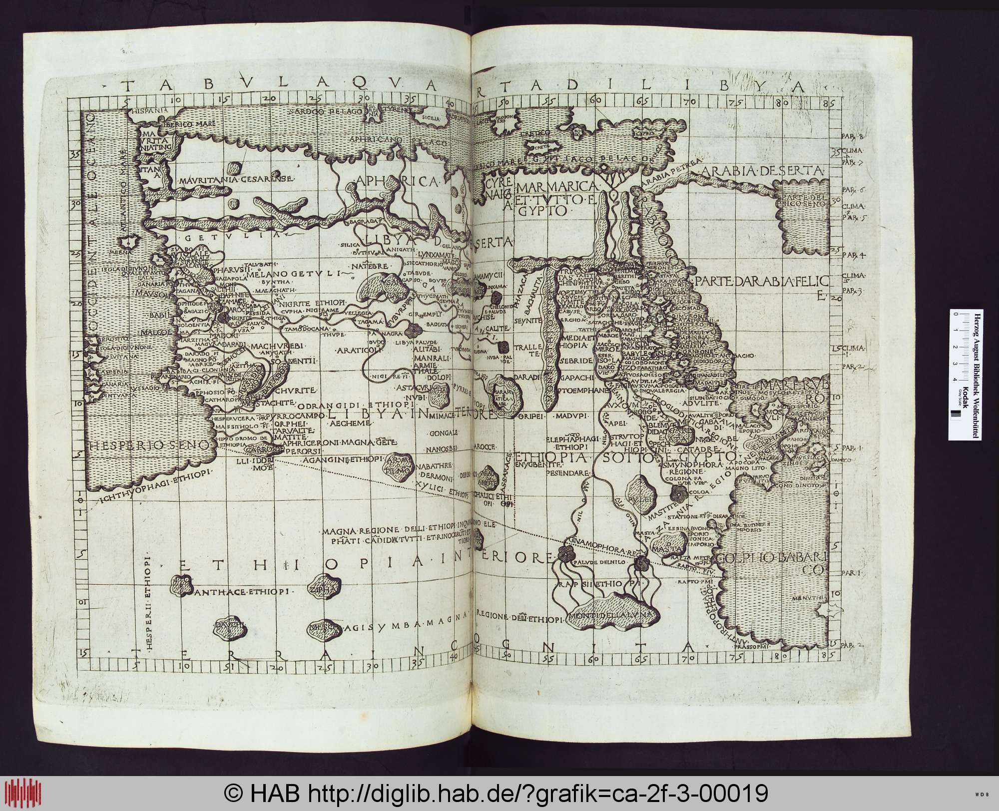
Tabula Quarta di Libya
Ptolemy
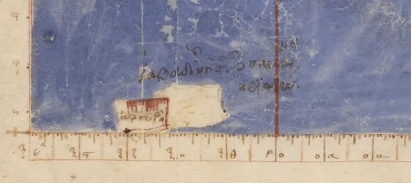
A map plate of North Africa, Egypt and Arabia from a later edition of Ptolemy's Geography, drawn with latitude and longitude scales.
Ptolemy is the author of the Geography, and this plate of North Africa comes from a later edition of that work.
About this source
What it is
This is a copperplate map from a later edition of Ptolemy's Geography, held by the Herzog August Library in Germany. The image shows an open book spread with the map titled Tabula Quarta di Libya. Its Latin labels include Libya, Aethiopia, Aegyptus, Arabia Felix and Mare Rubrum, and it has latitude and longitude scales. The plate was printed in a later edition rather than made by Ptolemy's own hand.
Why it matters
Ptolemy's Geography placed the lands of the Mediterranean, Africa and Asia on a grid of coordinates. This map follows that system for North Africa, Egypt and Arabia. It shows how scholars of the period tried to organise geographic knowledge into measurable form, and how later printers reproduced that work for new readers.
Look closer
- What do the latitude and longitude scales on the border tell you about how the map was meant to be used?
- Which regions are labelled with names that you still recognise today, and which names have changed?
- What parts of the land and sea does the map leave blank or only roughly show?
This document is part of the curated material that grounds the AI version of Ptolemy on Humy.ai — when students ask about related events, the AI can quote it and cite it.
More Ptolemy sources
Browse all 90 →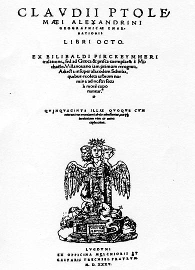 Book
Primary source
Geography
Ptolemy · c. 150 AD
 Artifact
Secondary source
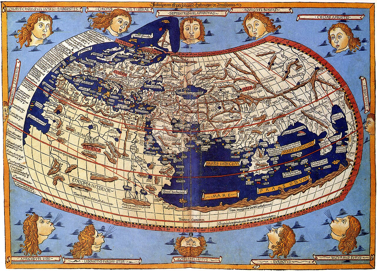
Ptolemy's World Map
Ptolemy · c. 150 AD (reconstructed after 1295)
 Book
Primary source
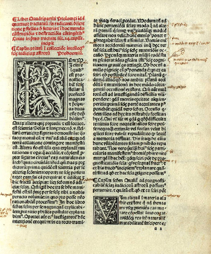
Tetrabiblos
Ptolemy · c. 2nd century AD
 Book
Primary source
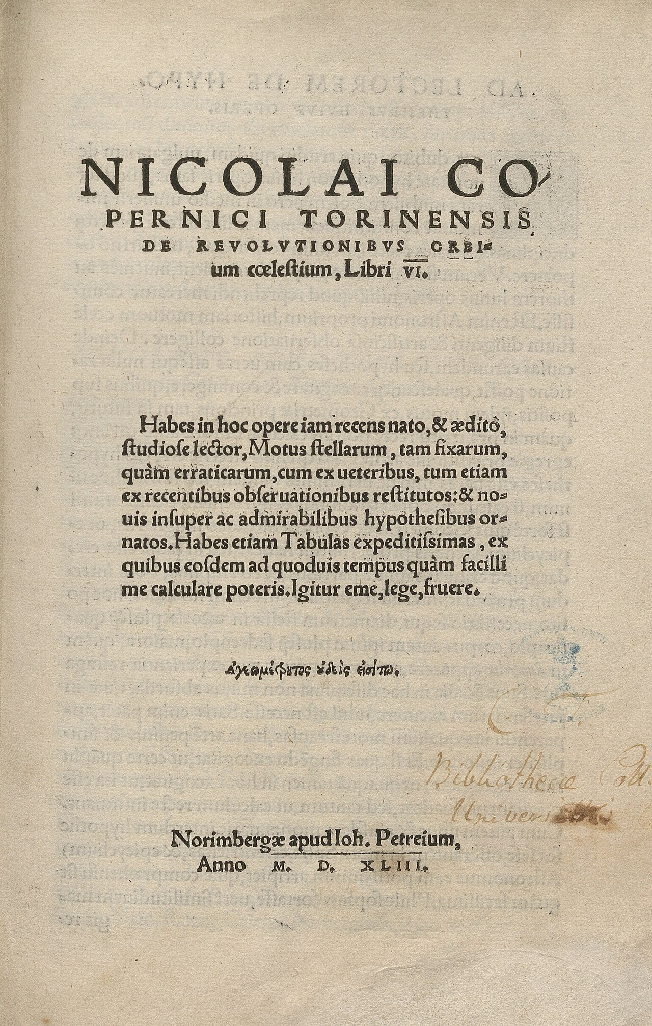
De revolutionibus orbium coelestium
Nicolaus Copernicus · 1543
Free account
Read every Ptolemy source
Sign up free →
Ready when you are
Start chatting with Ptolemy now.
20 messages free · No credit card · Available in 50+ languages.