


Primary sourceDocument1664
The Duke's Plan of New Amsterdam
Unknown English surveyor (after Jacques Cortelyou survey) · 1664
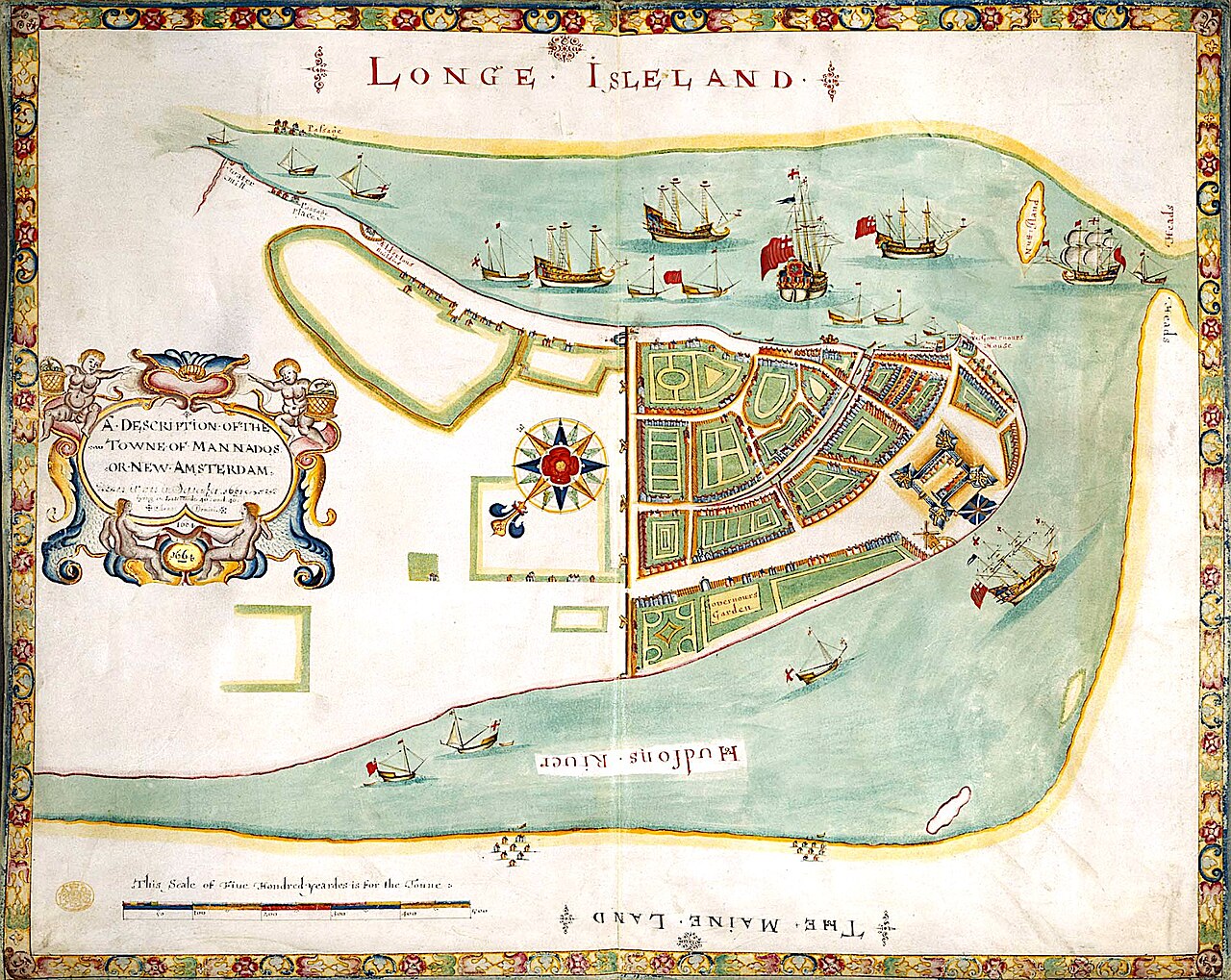
A 1664 hand-colored map of New Amsterdam made for James, Duke of York, documenting the colony soon renamed New York in his honor.
A map of New Amsterdam made for James as the colony's proprietor, shortly before it was renamed New York in his honor.
About this source
What it is
This hand-colored map, titled 'A Description of the Towne of Mannadoes or New Amsterdam', was drawn in 1664 by an unknown English surveyor, probably a member of the Thames school of chartmakers, based on an earlier survey by Jacques Cortelyou. It is held by the British Library.
Why it matters
The map was likely presented to James, Duke of York, who had just been granted the colony after its capture from the Dutch. It documents the town shortly before it was renamed New York in his honor, and has been called the
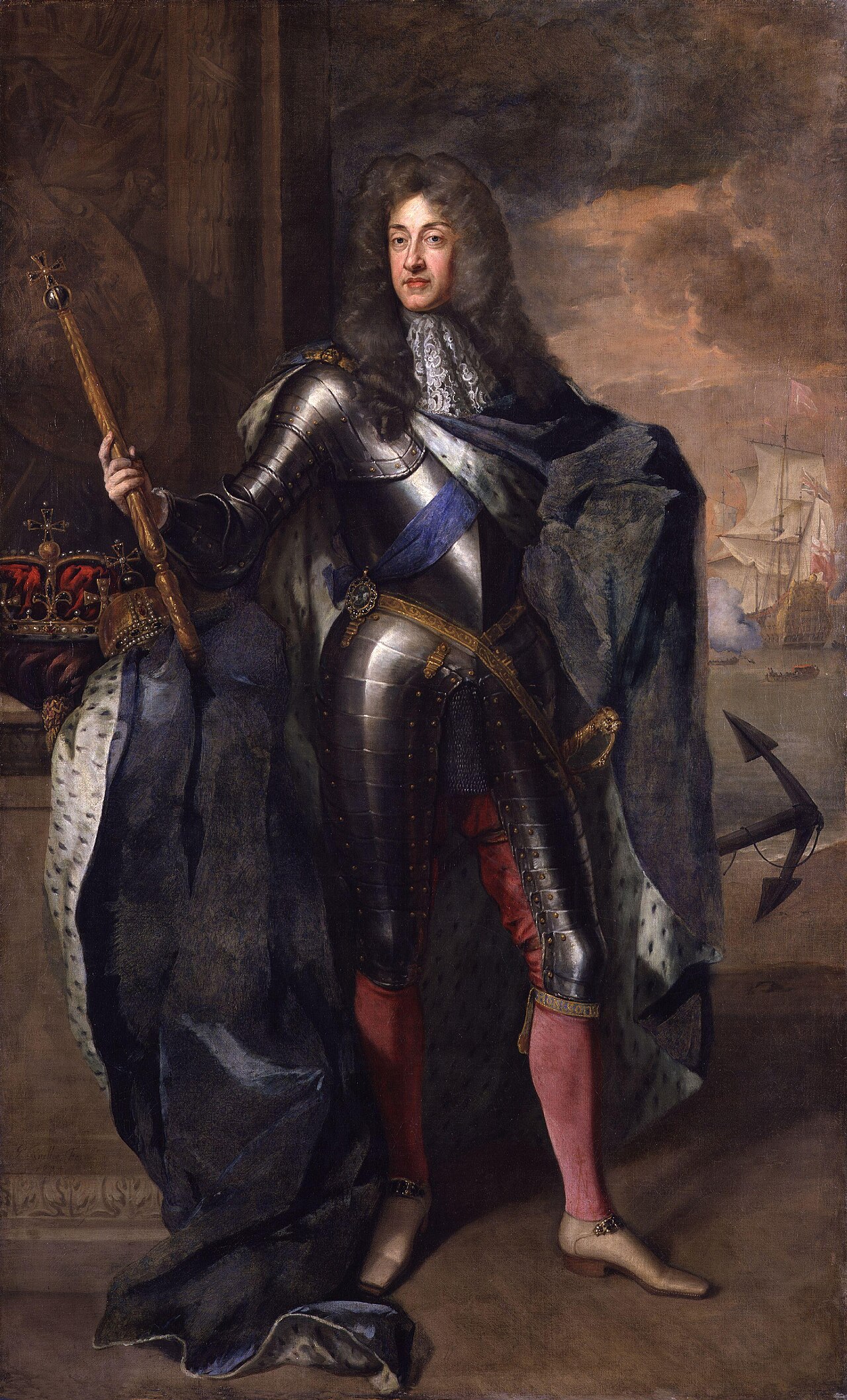
This document is part of the curated material that grounds the AI version of James II on Humy.ai — when students ask about related events, the AI can quote it and cite it.
More James II sources
Meet the AI James II →
Ready when you are
Start chatting with James II now.
20 messages free · No credit card · Available in 50+ languages.